
O'Hara's Creek Walk (Kenthurst)
The Hills Shire


Menu
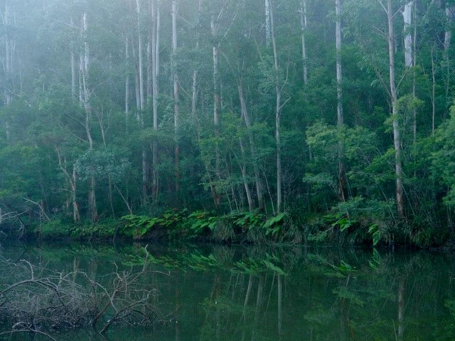
A large variety of local wildflowers, tall trees, valley and district views. This is a lovely walk along a sandstone ridge with significant Sandstone Ridgetop vegetation and down into a valley of tall trees. O’Hara’s Creek is named after James O’Hara, who is the first documented settler in the area. The creek rises near Round Corner in Dural and flows into Cattai Creek near Maraylya Bridge.
95m
Total Climb

Getting there
The walk starts from the fire trail at the end of Porter's Road, Kenthurst.
Route/Trail notes
Detailed track notes are available on the Shire's information sheet.
GPS Tracks
- No GPS available for this walk yet.
 6.2
6.2 2.5
2.5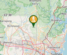
Comments
Nobody has commented on this walk yet. If you've done it then tick it off and add a comment.