
Menu

 2.3
km
return
2.3
km
return
 45
mins
45
mins
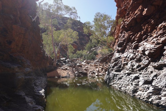
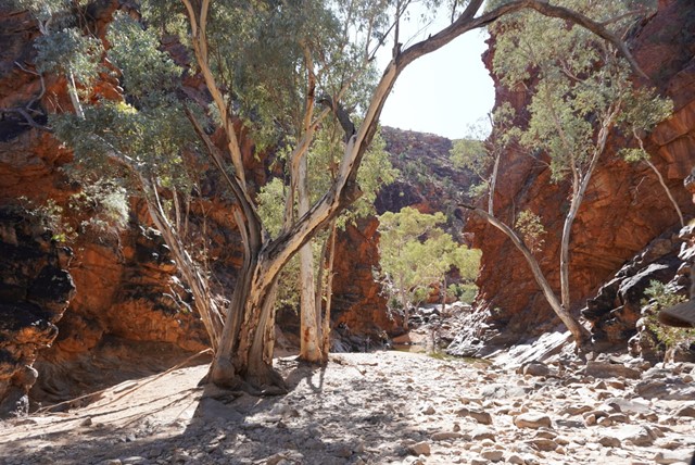
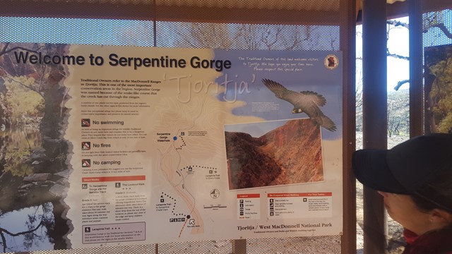
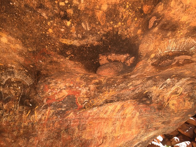
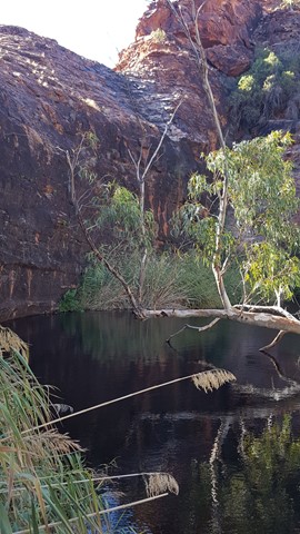
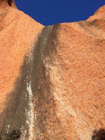
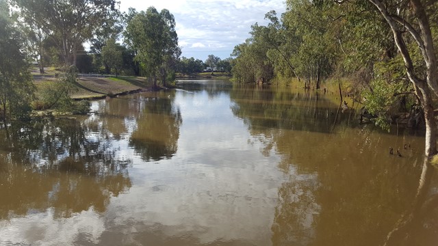
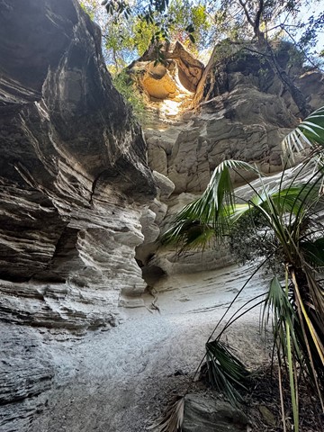
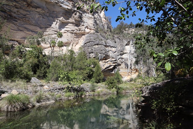
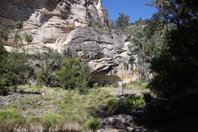
Serpentine Gorge Waterhole
Serpentine Gorge is a sacred site to Western Arrernte Aboriginal people, who call it Ulpma.
The Dreaming Story of the Carpet Snake and this place is associated with an Eaglehawk ancestor, the full story of which can only be told to initiated Aboriginal men.
 2.8
km
return
1
hr
2.8
km
return
1
hr
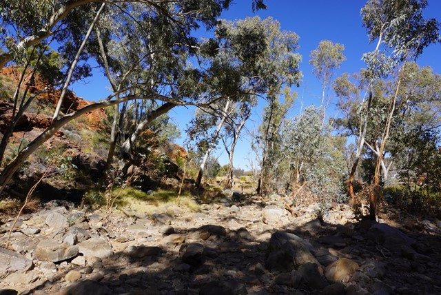
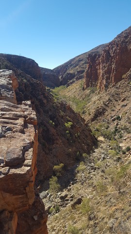
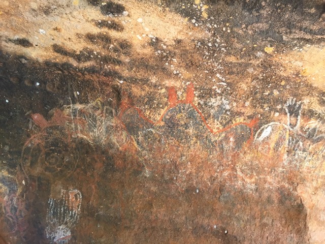
Serpentine Gorge Lookout
Serpentine Gorge is a sacred site to Western Arrernte Aboriginal people, who call it Ulpma.
The Dreaming Story of the Carpet Snake and this place is associated with an Eaglehawk ancestor, the full story of which can only be told to initiated Aboriginal men.
 1.2
km
return
45
mins
1.2
km
return
45
mins
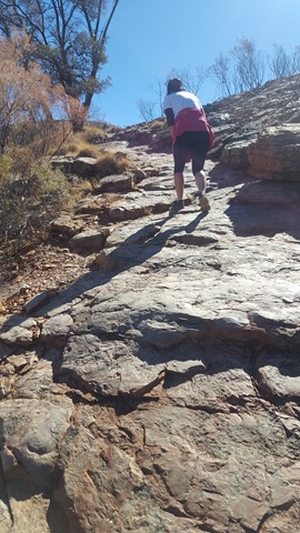
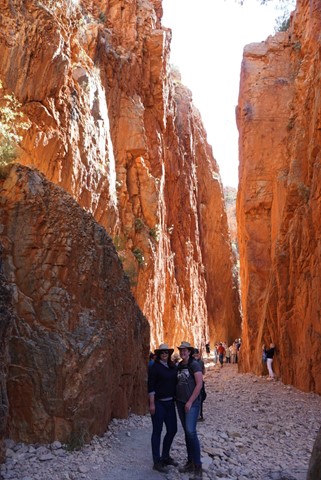
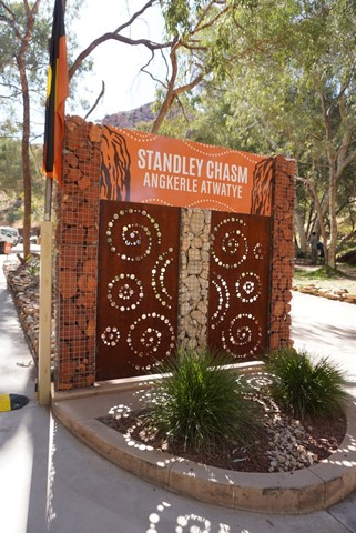
Standley Chasm
Although the track is rough in parts, most active visitors will find the 20 minute one-way walk to be quite easy. However, the conditions require that sensible walking shoes be worn.
 800
m
return
30
mins
800
m
return
30
mins
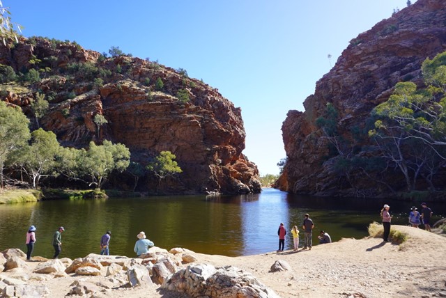
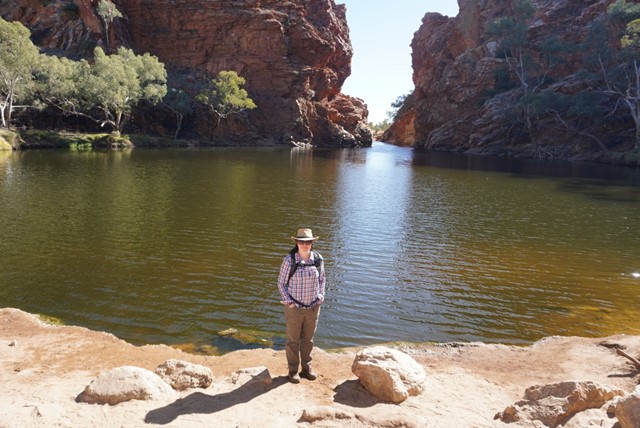
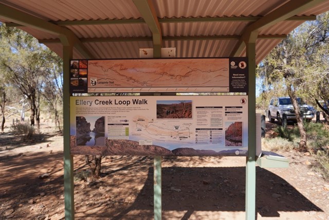
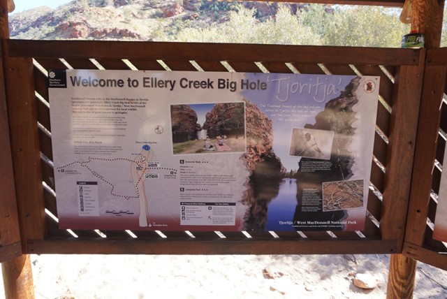
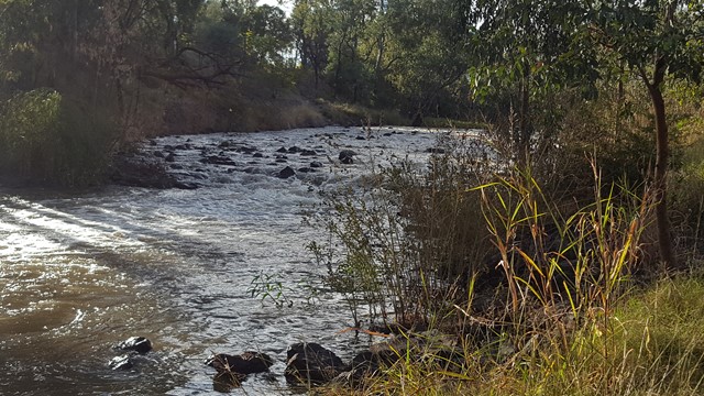
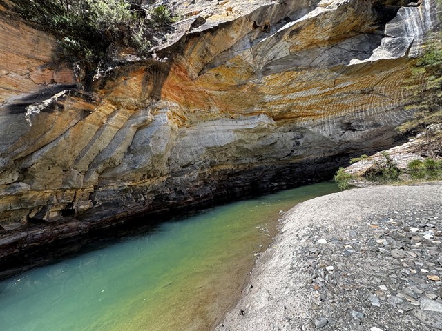
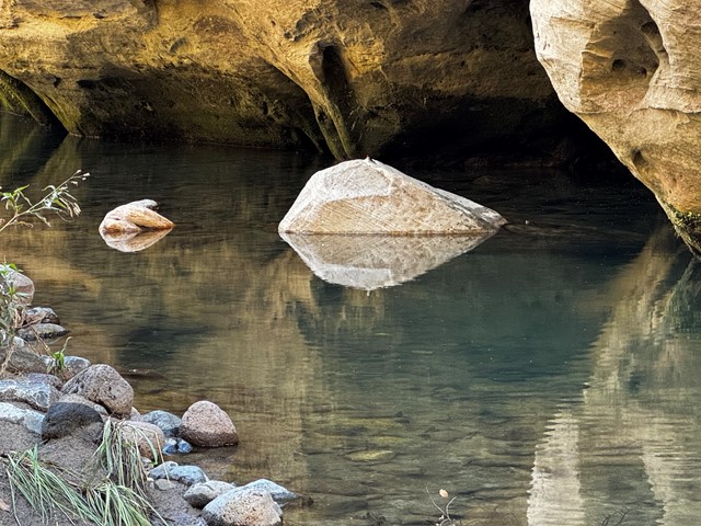
Ellery Creek Big Hole
Ellery Creek Big Hole is a spectacular waterhole in the mighty Ellery Creek, which cuts through a gorge in the West MacDonnell Ranges. Thousands of years of massive floods have carved out this beautiful waterhole and unlocked some amazing geology.
 1.8
km
return
45
mins
1.8
km
return
45
mins
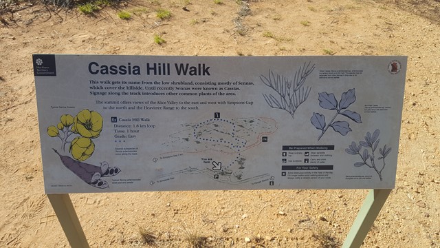
Cassia Hill
This walk gives excellent elevated views of the range and Simpsons Gap area. The walk illustrates local plants and a self-guided walk sheet is available.
 10.1
km
return
5
hrs
10.1
km
return
5
hrs
Mt Clunie
This is one for the "peak-baggers" and those who want to test there fitness. Mt Clunie is one of the high mountains (1158m) on the Qld/NSW border and the walk involves one of the tougher ascents in South-East Qld (described as "incredibly steep" in the Bushpeople's Guide, and they aren't joking). The walk begins at the border gate on the Carneys Creek Rd (this becomes White Swamp Rd once it crosses into NSW) and follows the border fence all the way up to the summit. The first few kilometres of the walk, in a roughly Southerly direction, is through undulating terrain in open eucalypt forest, and although there are some steep sections, it isn't too difficult. However, about an hour into the walk, a steel fence is crossed, the vegetation begins to change to rainforest, and the very steep section commences. At this point is is very handy to wear tough gloves, in order to drag yourself up the fence, and wear long sleeves and pants/gators, to battle through some areas of blackberry. A few hundred metres from the summit, the track levels, and there are some picturesque rock formations on the Qld side of the fence. In some sections, it is best to climb over the fence for easier travel. The summit is marked by a cairn, but there are no views to speak of, apart from occasional glimpses of Wilson's Peak to the North-West. You will make up some time on the return trip, but in parts, it's almost necessary to slide back down!
 4.5
km
return
2
hrs
4.5
km
return
2
hrs
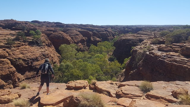
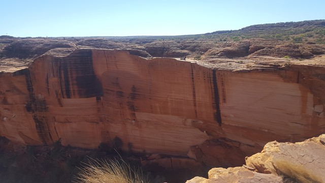
Southern Wall Walk
A shorter and easier walk to allow you to enjoy the majesty of this wonderful canyon, with views across the chasm to the spectacle of the northern rim.
 5
km
return
105
mins
5
km
return
105
mins
Mutitjulu Waterhole
Take the Lungkata Track to Mutitjulu Waterhole, home of Wanampi, an ancestral water snake. In the special times of rain, experience the magical waterfalls. In the warmer months watch the noisy finches and nankeen kestrels soaring on the thermals. For the keen bird watcher, you may spot nesting black breasted buzzards or tawny frogmouths.
 1.8
km
return
1
hr
1.8
km
return
1
hr
Dingo Ridge
A short and rough track takes you along an escarpment, which surrounds the Kings Canyon Resort, with amazing views of the George Gill Range.
 2.7
km
return
75
mins
2.7
km
return
75
mins
Kathleen Springs
A delightful spring fed waterhole at the head of Kathleen Gorge, is a cool moist place to sit and enjoy the areas tranquillity. Many interpretive signs along the track tell the story of centuries of Aboriginal culture and the recent cattle industry.
 7
km
return
3
hrs
7
km
return
3
hrs
Chauncy Vale Caves
This walk is in the Chauncy Vale Wildlife Sanctuary and is a walk through a dry scherophyll forest of white peppermint eucalypts. The walk is a loop track and is reasonably well maintained and signposted. There are picnic tables and shelters in the park with toilets at the start of the walk.
 2.9
km
return
75
mins
2.9
km
return
75
mins
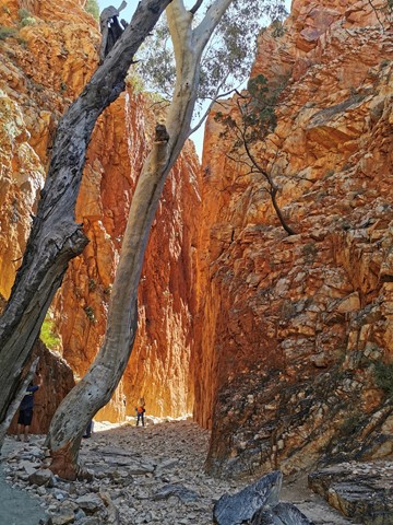
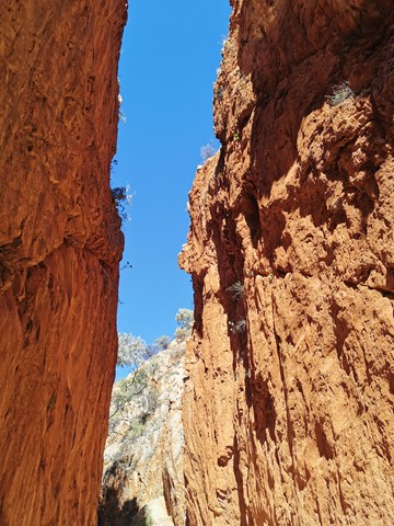
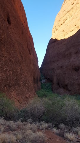
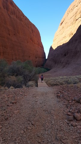
Walpa Gorge
Walpa, meaning 'windy' Gorge is a desert refuge for plants and animals. The rocky track gently rises to an ephemeral stream, passing rare plants and reaching a grove of spearwood. Walk within the sheer walls closing in on you from both sides and experience the vast landscape.
 2
km
return
1
hr
2
km
return
1
hr
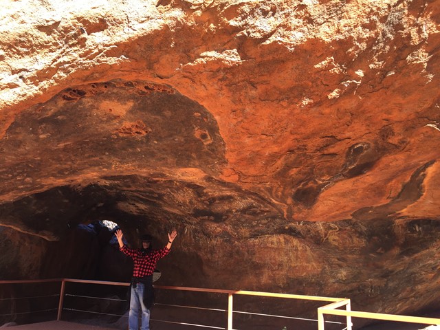
Mala Walk
This is where the Mala (rufous hare-wallaby) people camped when they arrived at Uluru in the beginning. There are examples of Anangu rock art along this walk and you can experience the sheer vertical walls and profound peacefulness of Kantju Gorge. A great sunset location in winter.
 6.5
km
return
90
mins
6.5
km
return
90
mins
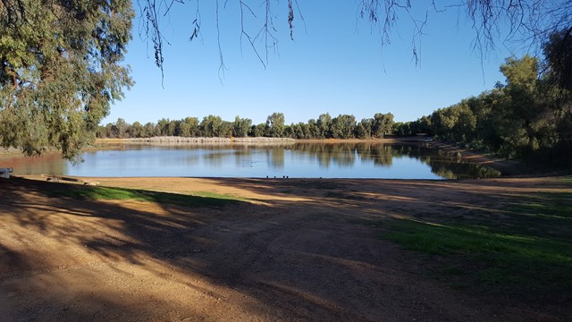
Centenary of Federation Track
The walk starts at the Cobar Heritage Centre and moves south around the Newey Reservoir, where there are opportunities to view the abundant bird life. The track includes numerous interpretive panels, which focus on local flora and fauna, as well as the history of the town's mining.
 3.6
km
return
75
mins
3.6
km
return
75
mins
Mehi River Precinct
This riverside pathway provides an enjoyable walk along the Mehi River to the Golf Club and back.
 10
km
return
2
hrs
10
km
return
2
hrs
Googik Heritage walking track
Enjoy walking, hiking or cycling along Googik Heritage walking track in Lake Innes Nature Reserve while taking in some of the great sights of Port Macquarie.
 8.8
km
return
3
hrs
8.8
km
return
3
hrs
Box Vale Mine Walk
The Box Vale Mine track follows the formation of a historic railway line and passes through cuttings, along embankments and through a tunnel 84 metres in length. Although much of the surrounding terrain is steep and rocky, the four point four kilometre walking track has easy grades and the return walk takes about three hours. There is also a one point eight kilometre spur track through pleasant bush land to 40 foot falls and a very steep track leads to vantage point below the falls. Picnic tables and barbecues are provided near the track head car park.
14.1
km
return
4
hrs
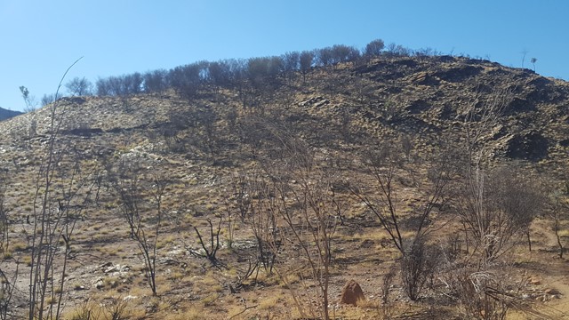
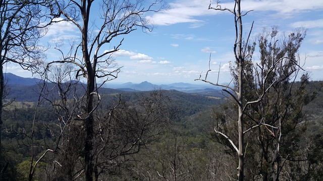
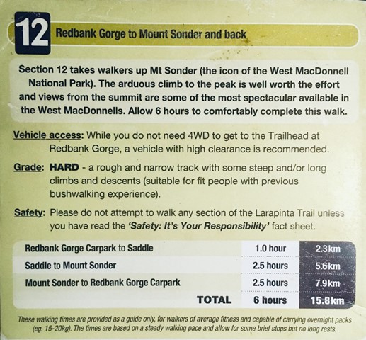
Mount Sonder
Great Views - Highly recommended!
Just over 14km return from the car park.
Well worth the hike to the summit for sunrise, well maintained track with reflective markers.
Steep steps approx 1km from the carpark. Once pass the 3km marker ground is relatively flat with gradual incline.
Good rest spot Approx 5.5km, caution required when approaching in windy conditions or at night exposed steps.
Return via same track, very little shade on return and temperatures can vary rapidly. To avoid heatstroke pack plenty of water and a hat. In colder months warm layers of clothing and wind proof jackets are a must!
 6
km
return
90
mins
6
km
return
90
mins
Goonoowigal State Conservation Area
Thunderbolts Lookout and Middle Creek Falls are located in Goonoowigall State Conservation Area