
Menu
Popular Walks
-
Mt Ngungun
(1156 ticks) -
Mount Coolum
(872 ticks) -
Mt Warning Summit Trail
(760 ticks) -
Mt Cordeaux
(668 ticks) -
Twin Falls Circuit
(636 ticks)
Popular Walks
-
Mt Ngungun
(1156 ticks) -
Mount Coolum
(872 ticks) -
Mt Warning Summit Trail
(760 ticks) -
Mt Cordeaux
(668 ticks) -
Twin Falls Circuit
(636 ticks)
Sub-Regions
Walks in New South Wales

 5.3
km
return
5.3
km
return
 2.25
hrs
2.25
hrs
Empire Pass Circuit
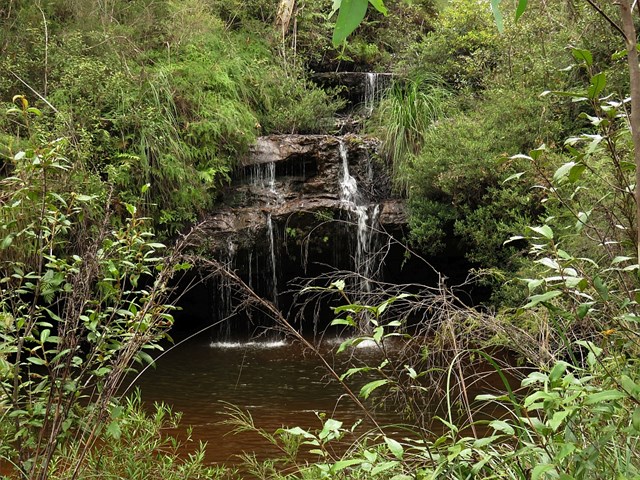
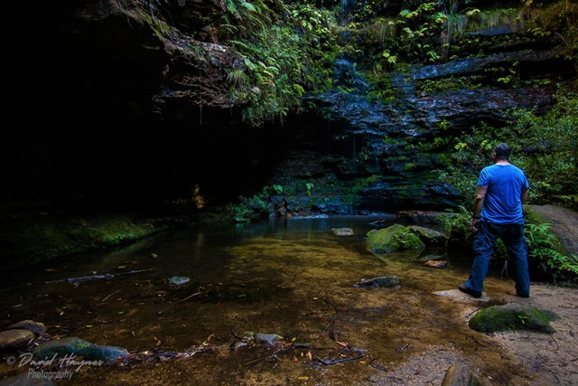
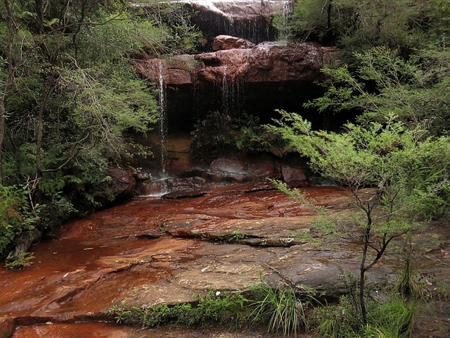
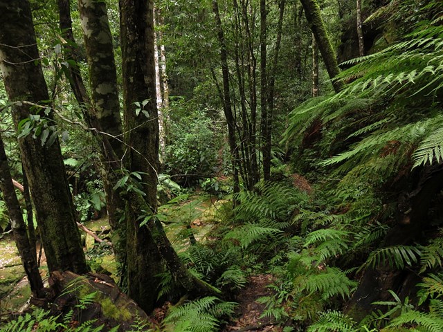
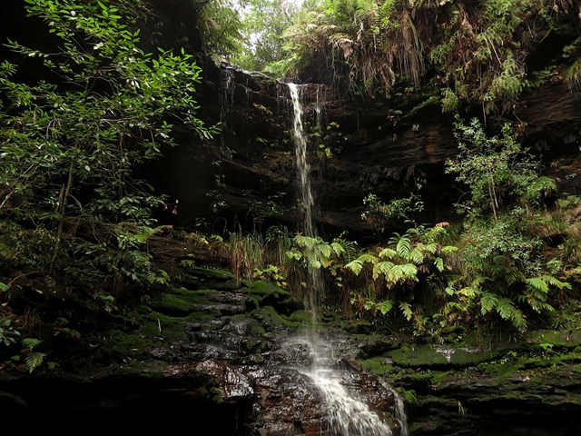
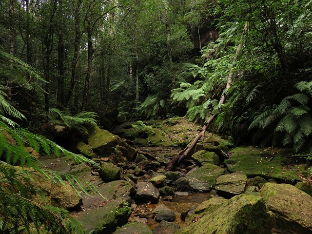
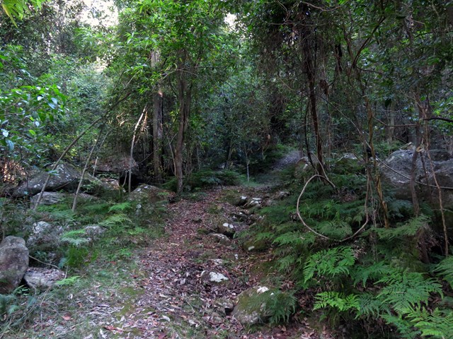
The Empire Pass Track was constructed in the early 1900s, and improved and opened on Empire Day, 1913, hence the name. It passes through a beautiful gully of temperate rainforest and visits several delightful waterfalls in the North Lawson area.
The walk can be done all year round but is good in the warmer months as much of the track is in the shade of the gullies.
 3.2
km
return
1
hr
3.2
km
return
1
hr
End Peak Walking Track (Orara East State Forest)
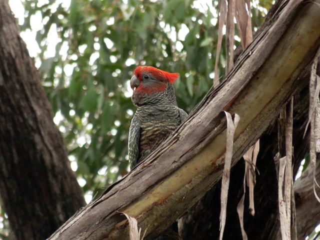
End Peak walking track is a challenging walk that offers rewarding panoramic views of Coffs Harbour from Ulidarra National Park’s highest point. It’s great for birdwatching and for a picnic with a view.
If you’re looking to experience nature and get away from it all for a few hours, End Peak walking track is for you. A short drive from Coffs Harbour, and within moments you’ll be surrounded by a rich tapestry of vibrant green colours.
This challenging escarpment walk traverses old-growth blackbutt forest, tall wet forests and rainforests. There are a few steep sections of track, but they just add to the adventure and the challenge. Bring a picnic lunch and enjoy picnicking from the highest point in Ulidarra National Park, with filtered glimpses of Coffs Harbour.
There’s plenty of native wildlife to admire along the way, including koalas and an abundance of birdlife, so if you enjoy birdwatching, keep your binoculars handy. Ulidarra National Park is home to 125 bird species, so you’re bound to see something colourful along the way, such as the beautiful satin bowerbird.
 2
km
return
45
mins
2
km
return
45
mins
Fairy Falls and Dantes Glen
A short walk with three waterfalls: Dantes Glen, St Michaels Falls and Fairy Falls.
 30
km
return
30
km
return
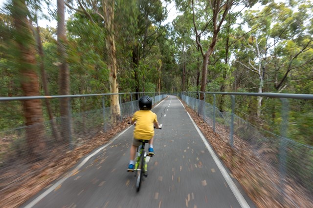
Fernleigh Track (Lake Macquarie)
An easy cycling path (or hiking track) between Belmont and Adamstown on the Central Coast, which follows a disused rail line.
 4
km
return
2
hrs
4
km
return
2
hrs
Fingal Bay to Port Stephens Lighthouse
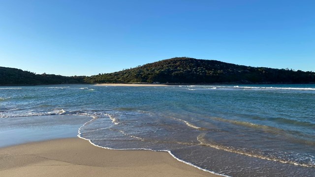
A near-perfect C-curve of sand that faces southeast, Fingal Bay has its own island connected by Fingal Spit and is well protected from all but a hefty southeast wind. The spit at the north end which links Fingal Island (also known as Shark Island) to the mainland gets decent waves when the sand builds up.
The island’s key feature is an imposing lighthouse surrounded by beautiful views of the ocean.
 1
km
return
30
mins
1
km
return
30
mins
Fingal Head Lighthouse Walk
Start at Dreamtime Beach carpark - a turn left as soon as you are on Lagoon Road.
Or actual LIghthouse carpark at end of Bamberry Rd
 5.5
km
return
2
hrs
5.5
km
return
2
hrs
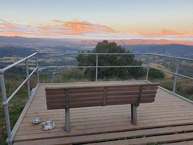
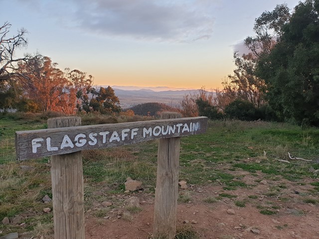
Flagstaff Mountain Lookout (Kamilaroi Walking Track)
This 5.5km return track will take you to the flagstone mountain lookout next to the city of tamworth.
You will see views of the city and surrounding areas and is worth a look if you are in the area.
You can drive to the oxley lookout car park which is the start of the kamilaroi walking track. The track has alternate routes that can be taken but the 5.5km return distance is for the direct route.
 13.8
km
one-way
5
hrs
13.8
km
one-way
5
hrs
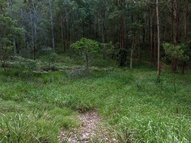
Flat Rock to Congewai Valley East Track Head (GNW)
Starting from the grand views of Flat Rock Lookout high on the range, you will walk down into the Congewai Valley below. On the first section of this walk, you will explore a little used dirt road to the Congewai Communication Tower. From here you follow a series of tracks that wind down, steeply in places, through the tall open forest with a scattering of grass trees to the bottom of the range. Now the walk guides you through open farmland before following Congewai Road along main valley to the trackhead near Brown Muir Farm.
 4
km
one-way
1
mins
4
km
one-way
1
mins
Florabella Pass
Easy walk, nice a quiet. Temperature drops when you get to the creek.
2.5
km
return
1
hr
Foreshore walk
Discover the highlights of Mungo National Park on this easy walk. Walk across Lake Mungo and soak up the rich Aboriginal heritage of Willandra Lakes World Heritage region.