
Fingal Bay to Port Stephens Lighthouse
New South Wales


Menu
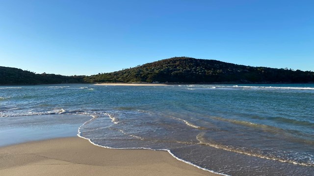
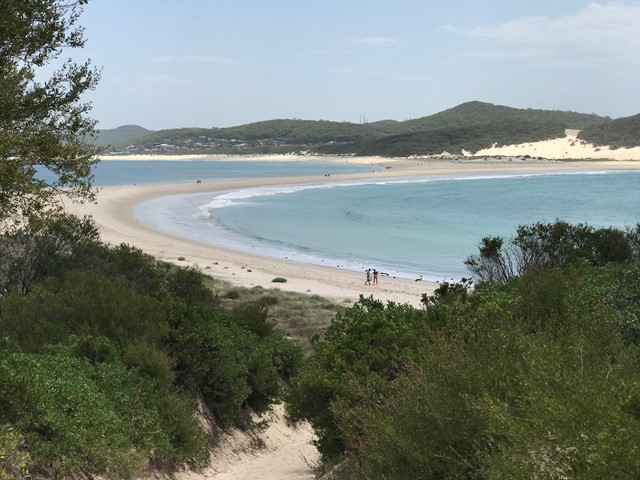
A near-perfect C-curve of sand that faces southeast, Fingal Bay has its own island connected by Fingal Spit and is well protected from all but a hefty southeast wind. The spit at the north end which links Fingal Island (also known as Shark Island) to the mainland gets decent waves when the sand builds up.
The island’s key feature is an imposing lighthouse surrounded by beautiful views of the ocean.

Getting there
This walk starts at the carpark behind Fingal Beach Surf Life Saving Club.
Route/Trail notes
Walk down to the beach from the carpark and look to your left where you'll be able to see Fingal Spit. From there you just follow the spit over to Fingal Island where you'll find an easy trail to follow all the way to Port Stephens Lighthouse.
Crossing over to the island can be very dangerous if you don't work around the tides, so please be sure to cross during low tide and cross back during low tide. People have died here, so please, check the tides and take it seriously. Find all the tide info here: https://www.tide-forecast.com/locations/Port-Stephens-Australia/tides/latest
Here's a video of the walk: https://youtu.be/US0ARf_YNtk
Permits/Costs
None.
GPS Tracks
- No GPS available for this walk yet.
 4
4 2
2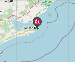
Comments