


Menu
Popular Walks
-
Mt Ngungun
(1158 ticks) -
Mount Coolum
(872 ticks) -
Mt Warning Summit Trail
(760 ticks) -
Mt Cordeaux
(668 ticks) -
Twin Falls Circuit
(636 ticks)
Popular Walks
-
Mt Ngungun
(1158 ticks) -
Mount Coolum
(872 ticks) -
Mt Warning Summit Trail
(760 ticks) -
Mt Cordeaux
(668 ticks) -
Twin Falls Circuit
(636 ticks)
Sub-Regions
Walks in Western Australia

 4.4
km
return
4.4
km
return

Homestead Valley Trail (Purnulul National Park)
The Homestead Valley Trail cuts deep into the range, through open woodlands and an uneven, dry creek bed ending in a shaded rest area with views overlooking Homestead Valley.
10
km
return
4
hrs
Kalbarri Loop Walk
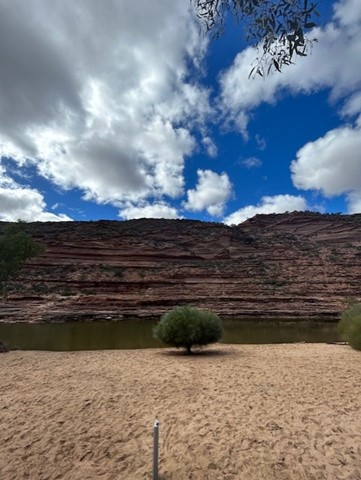
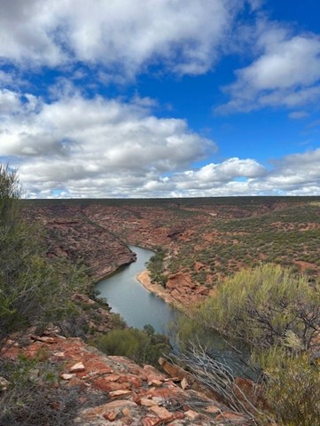
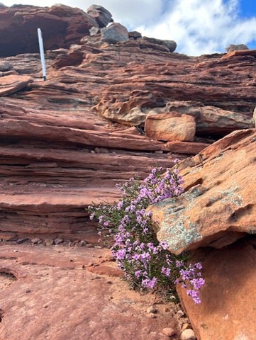
Starting at the iconic Natures Window, follow the loop anticlockwise over the ridge, then into the gorge along the Murchison River. Monkey your way across some spots and keep an eye out for white markers to keep you on route.
The terrain is a mixture of rock, dirt and sand - you will get it all.
BRING PLENTY OF WATER EVEN IN WINTER. The rocks in the gorge emit so much heat even in mid-winter so ensure you bring more water than you think!!! I can't imagine doing this in the summer.
Bring swimmers for the many dip spots along the way.
 1.1
km
return
1.1
km
return
Kurrajong Trail (Purnululu National Park)
This marked walk trail starts from the Kurrajong campground at the northern end of the park. This short 1.1km return trail gives you an idea of the different vegetation types in the Park.
6
km
return
Manning Gorge Falls (Gibb River Road)
Manning Gorge is one of the most beautiful and best swimming spots in the Kimberley.
Located on Manning Creek in the grounds of the 283,280ha Mt Barnett Station, water remains at the base of the waterfalls and in several pools along the creek year round, ideal for a refreshing dip.
The waterfalls are seasonal and fed by the rains during wet season, so they may be dry the mid to late dry season.
When exploring, you may also come across some examples of Bradshaw and Wandjina rock art.
Visiting the gorge involves an adventurous walk of approximately 3 kilometres to the top of the gorge, following the informal trail markers made up of rock cairns, red discs and arrows. The trail begins at the campground, where visitors must first cross Manning Creek to re-join the trail path on the other side. Visitors may swim the 100 metres across, or use the rope guide with floats to ferry belongings.
The trail follows a route overland rather than along the creek with views over the ranges and savannah woodlands along the way. The terrain is uneven, with some rock scrambling and an incline towards the end. The trail is mostly unshaded, so it is important to bring drinking water and to wear a hat.
7
km
return
3
hrs
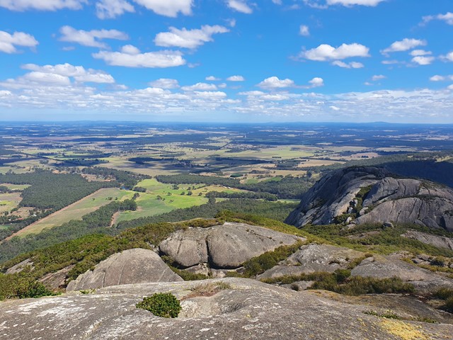
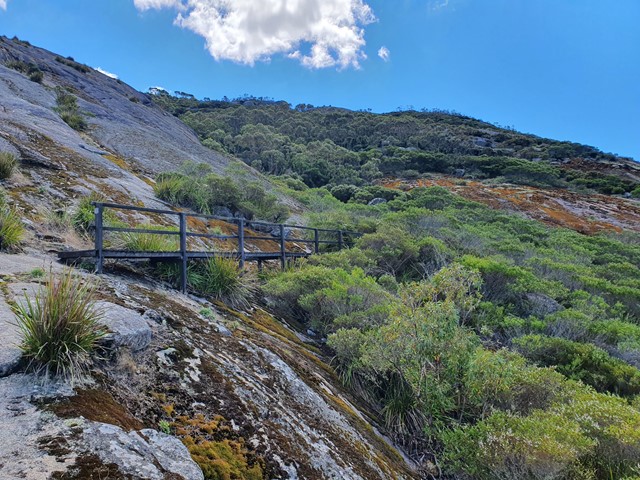
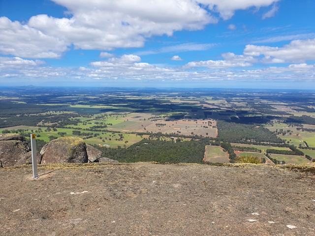
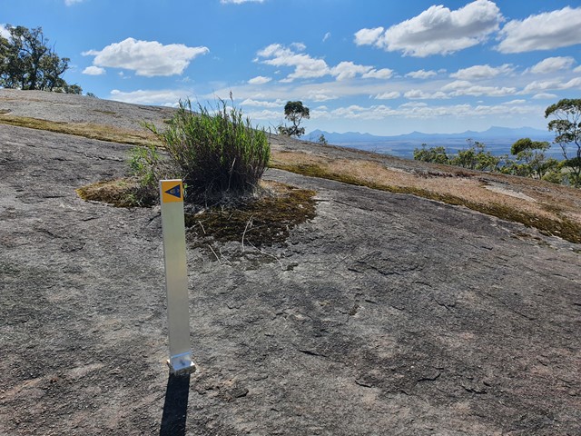
Marmabup Rock Summit via the Devils Slide
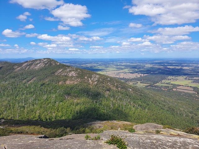
A scenic loop that connects Hayward Peak and Nancy Peak with a bonus side trail to Marmabup Rock (the highest point in the Porongurup Ranges) via the Devils Slide track.
 4.4
km
return
4.4
km
return
Mini Palms (Purnulul National Park)
The Mini Palms Trail is a challenging 4.4km return trail from the Bloodwoods carpark which follows the Escarpment Trail for 1km before turning off to follow a dry, stony creek bed. The trail continues with steep slopes, narrow edges and large boulders to climb over, under or squeeze between before reaching two viewing platforms surrounded by Livistona palms, looking into an amphitheatre filled with tiny palms.
 40
km
return
9
hrs
40
km
return
9
hrs
Monadnocks & Mt Cooke loop
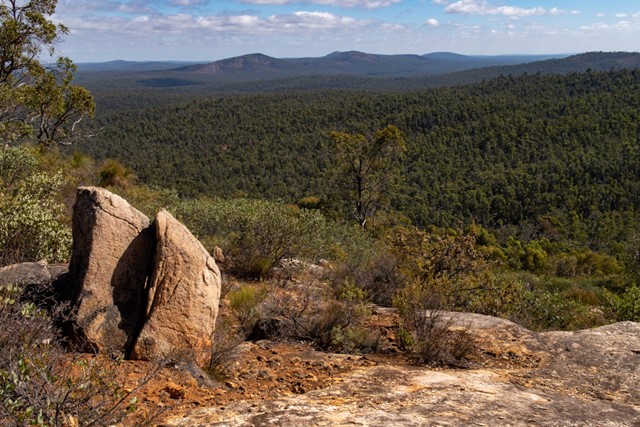
A long day walk along the Darling Ranges section of the Bibbulman Track, the route combines Mount Cuthbert and Mount Vincent (Sullivans Rock to Monadnocks) as well as Mount Cooke, the highest point of the Darling Scarp. It avoids backtracking by utilising the Bibbulman Track and surrounding 4WD roads.
 7.6
km
return
2
hrs
7.6
km
return
2
hrs
Ngank Wen Bidi
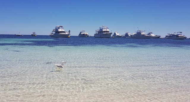
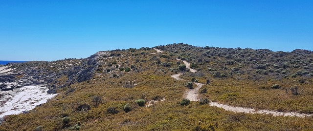
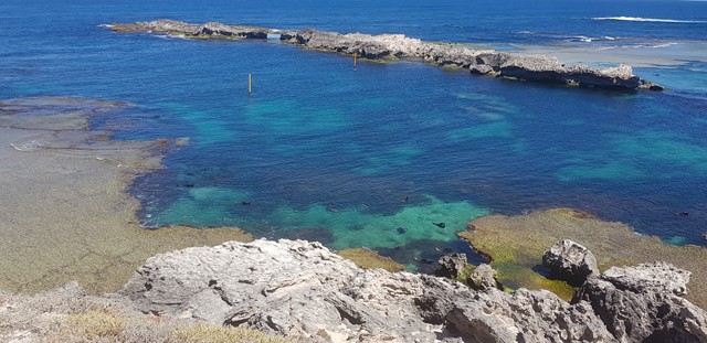
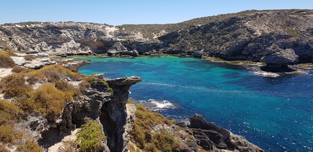
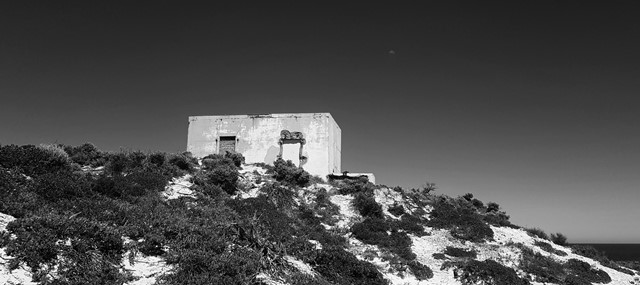
The western end of the Island is a marine wildlife haven! New Zealand fur seals can be seen from the viewing platform at Cathedral Rocks and the West End boardwalk is a great place to spot dolphins, and the seasonal migration of humpback whales! The loop circumnavigates the entire West End, guiding you along some of the most remote trail on the Island. The views from the south coast span back to the mainland and all the way to Garden Island. Along the north coast you will encounter bays that may well become your new favourite Rottnest bay! You will not be disappointed.
Osmand Lookout Trail (Purnulul National Park)
A short walk with a moderate slope takes you to an elevated ridge with panoramic views of the ancient and rugged Osmand Range.
2.8
km
return
Piccaninny Creek Lookout Trail (Purnulul National Park)
The Creek Lookout Trail within Piccaninny Gorge, is a 2.8km return trail. The lookout provides you with impressive views over Piccaninny Creek winding its way south towards the Ord River and the distant beehive domes. The trail is a moderate walk negotiating an uneven and deeply eroded creek bed.