
Marmabup Rock Summit via the Devils Slide
Western Australia


Menu
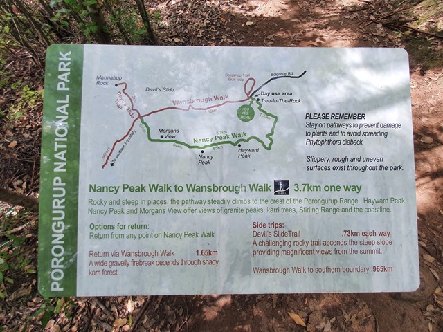

A scenic loop that connects Hayward Peak and Nancy Peak with a bonus side trail to Marmabup Rock (the highest point in the Porongurup Ranges) via the Devils Slide track.

Getting there
The walk starts from a big carpark located at the end of Bolganup Road.
Route/Trail notes
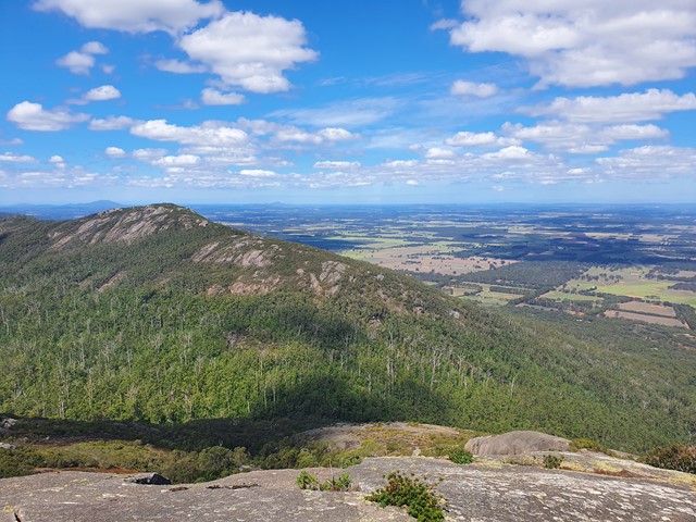
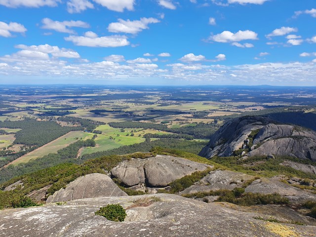
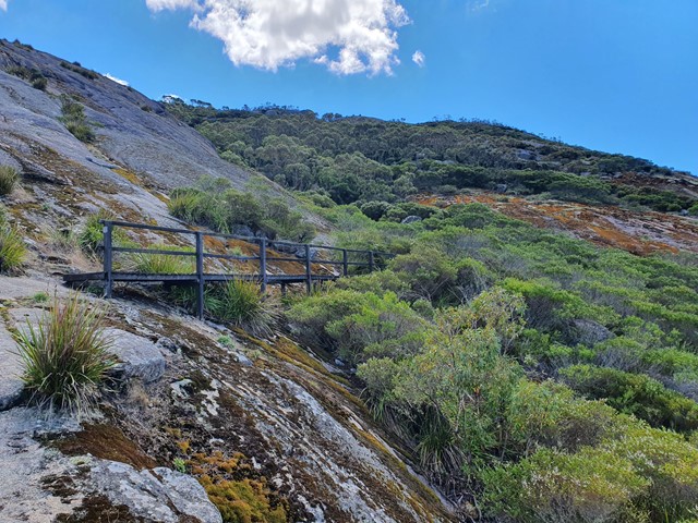
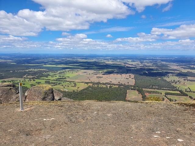
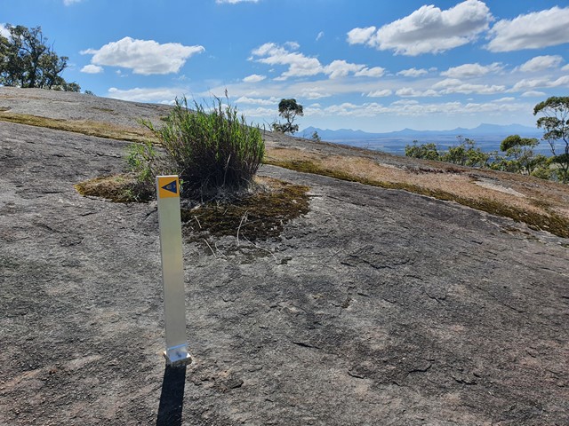
The walk can be tackled in a number of ways - refer to map in images. You can go to Nancy Peak and return. You can do the loop and not go to Marmabup Rock, or you can do the full loop with the bonus sidetrail up to the summit of Marmabup rock. The walk is quite similar to walks you would find within Giraween National Park in QLD. Huge Granite domes with vast views across the country side all the way to the Stirling Ranges in the North and the Ocean in the south. The trail is well marked and not too steep for the most part. The track up to Marmabup Rock is steeper than the rest of the loop track and involves some very mild scrambling. Overall this is a nice half day hike with great views and interesting scenery.
Permits/Costs
$15 per vehicle per day
Other References
https://trailswa.com.au/trails/devils-slide-porongurup-np
GPS Tracks
- No GPS available for this walk yet.
 7
7 3
3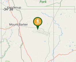
Comments