
Menu
Popular Walks
-
Mt Ngungun
(1138 ticks) -
Mount Coolum
(858 ticks) -
Mt Warning Summit Trail
(758 ticks) -
Mt Cordeaux
(655 ticks) -
Twin Falls Circuit
(625 ticks)
Popular Walks
-
Mt Ngungun
(1138 ticks) -
Mount Coolum
(858 ticks) -
Mt Warning Summit Trail
(758 ticks) -
Mt Cordeaux
(655 ticks) -
Twin Falls Circuit
(625 ticks)
Sub-Regions

 1.4
km
return
1.4
km
return
 30
mins
30
mins
Six Mile Creek Track
A moderate level trail that leads you into a world of large swamp box and blue gums, and if you are lucky enough, you may even see a shy lace monitor. Cool down as you cross Six Mile Creek and inspect a number of revegetation areas Council has been working to restore.
 11
km
return
4
hrs
11
km
return
4
hrs
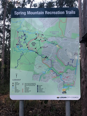
Spring Mountain (Angelica Ave trailhead)
Spring mountain from Angelica St, Springfield Lakes.
 11
km
return
4
hrs
11
km
return
4
hrs
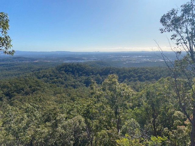
Spring Mountain (Thornbill Drv trailhead)
Spring Mountain from Thornbill Drive, Greenbank. Walk is a bit of a hard slog but the views from the different points on the trek are really spectacular.
 14
km
return
5
hrs
14
km
return
5
hrs
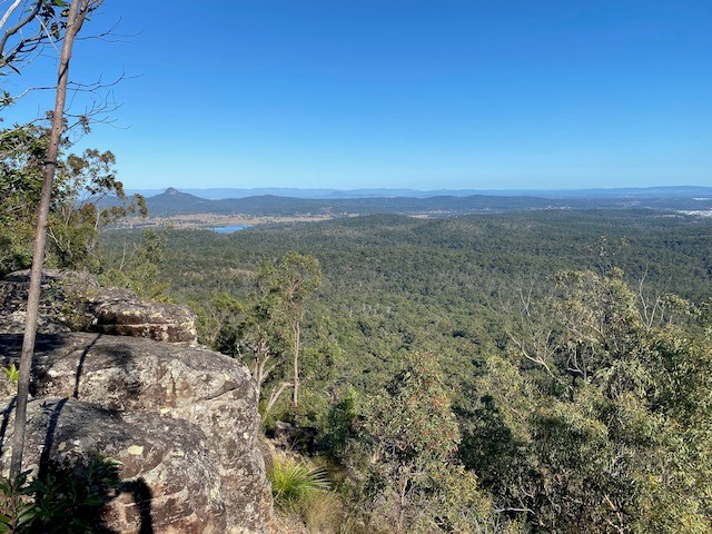
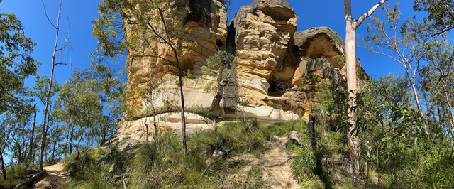
Spring Mt Caldera (Thornbill Drv trail head)
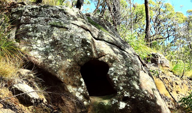
A great walk. Starting at the end of Thornbill Drive, Greenbank. 60 degree views atop Spring Mountain. Caves and cliffs along with some off track navigation along the aptly named Dragons Spine Trail!
 6.5
km
return
2
hrs
6.5
km
return
2
hrs
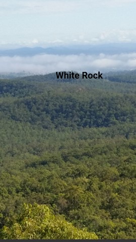
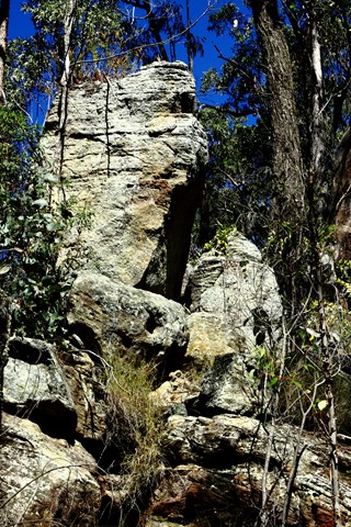
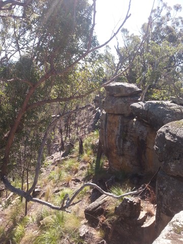
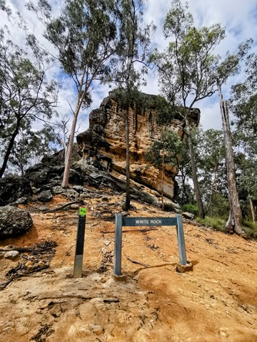
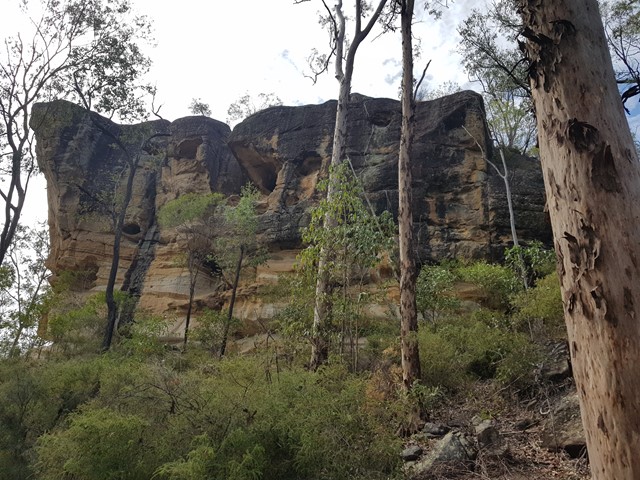
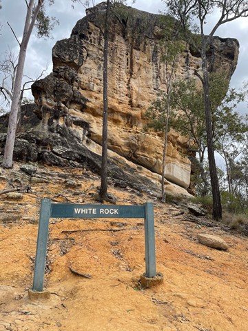
White Rock Multi-User Trail
A level track with some rough surfaces and stairs at the end.
Leading to the base of the culturally significant White Rock this trail goes through a mix of vegetation types and sceneries from riparian to open eucalypt forest and rocky ridges. Climb the stairs to gain views to Spring Mountain and the surrounding area.
Access to the top of White Rock is not allowed. Please respect the original Ugarapul custodians of the land.
 6.5
km
2
hrs
6.5
km
2
hrs
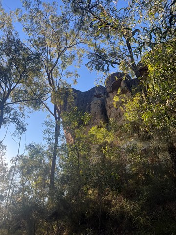
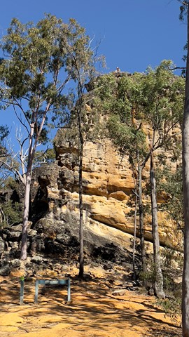
White Rock Ridge Hike
A pleasant walk with a short bit of scrambling up to the impressive White Rock. A sacred site for local indigenous people, the custodians of the site request that you do not climb White Rock.
 22
km
return
6
hrs
22
km
return
6
hrs
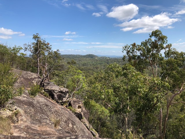
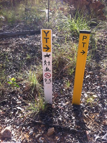
Yuddamun Trail
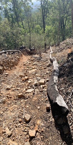
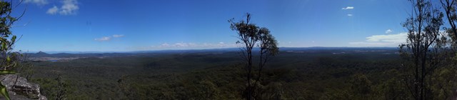
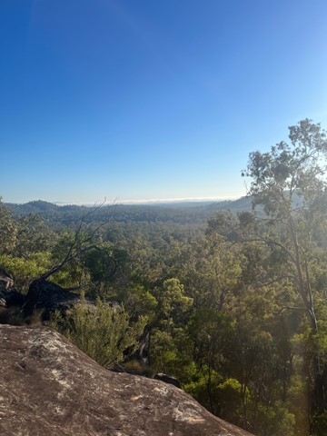
The Yuddamun Trail contains some steep inclines and rough surfaces. It crosses the northern section of the estate giving spectacular glimpses of Ipswich, Brisbane City and towards Moreton Bay. If you are planning to go for a leisurely mountain bike ride or hike, then access this trail from the Paperbark Flats Picnic Area car park. Horse riders can access the trail from the recently constructed facilities as you immediately enter the estate. A horse float parking area, hitching rails, water trough and picnic table will support all your riding needs.
Please note that water for horses is only available within the Horse Float Parking Area. Prior to your ride please ensure you read and follow Council’s Trails Guidelines
Walks in Wide Bay Burnett
(Queensland)
140
m
return
10
mins
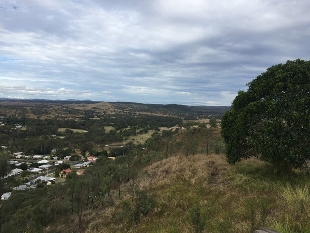
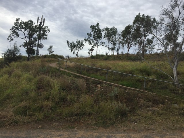
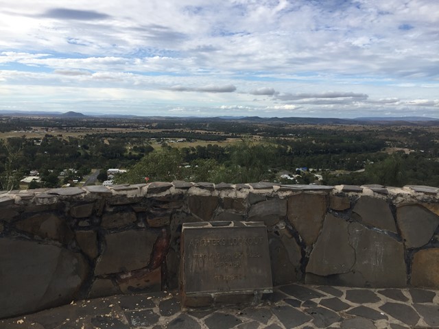
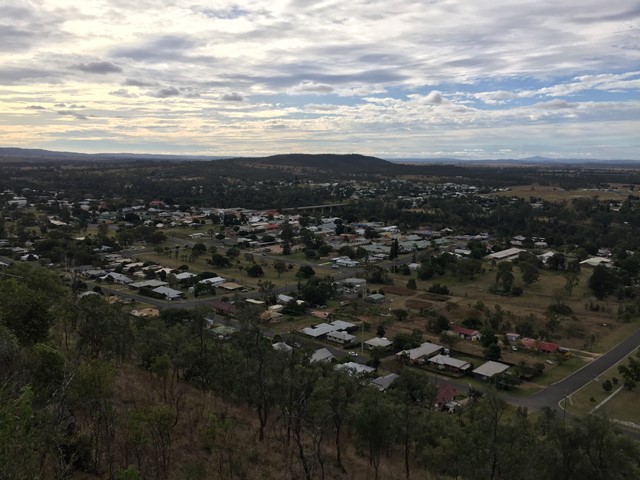
Archers Lookout
Archers Lookout sits atop Duke Mountain with 360 views over Gayndah.
 3.2
km
return
90
mins
3.2
km
return
90
mins
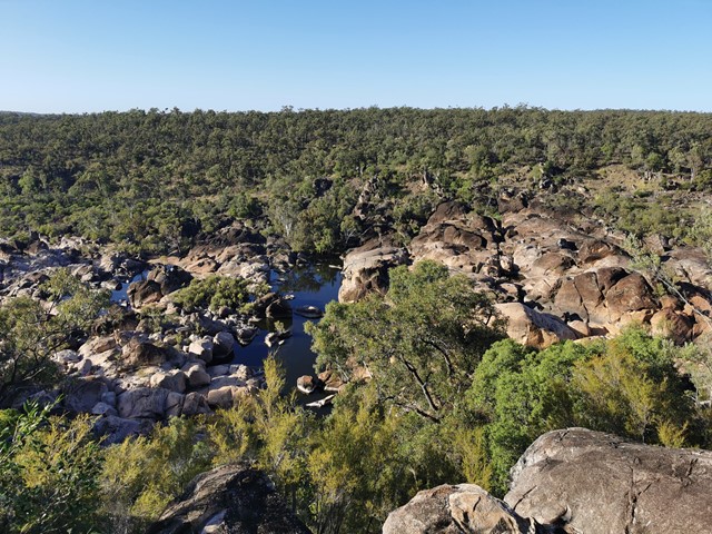
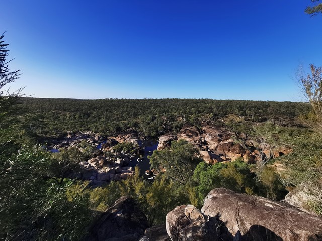
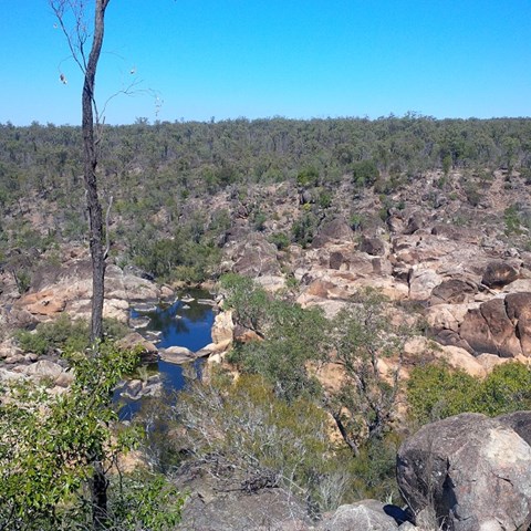
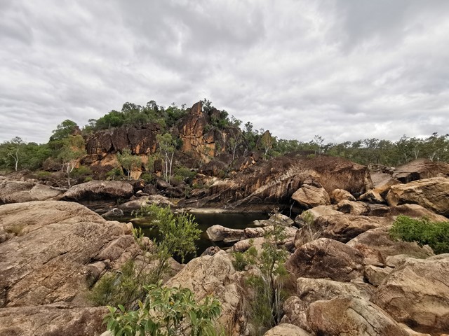
Auburn River National Park , Gorge -top walk
The track follows the river on a gentle walk through open eucalypt forest along the top of the gorge. At the lookout there are spectacular views down the river,
which flows over a series of cascades to the Auburn River Falls—best viewed after heavy rain.
 1.5
km
return
1
hr
1.5
km
return
1
hr
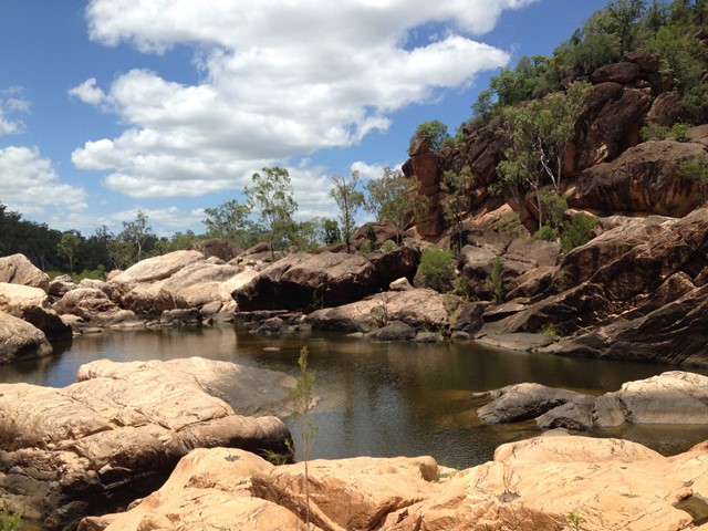
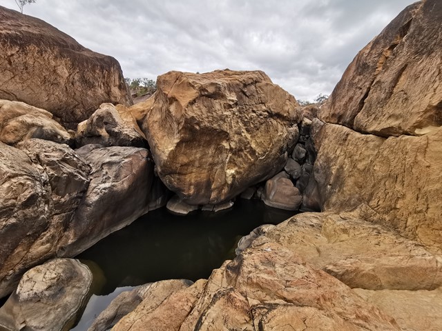
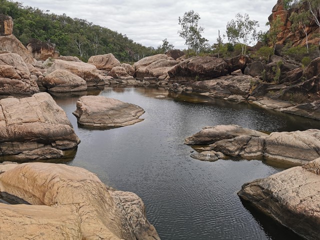
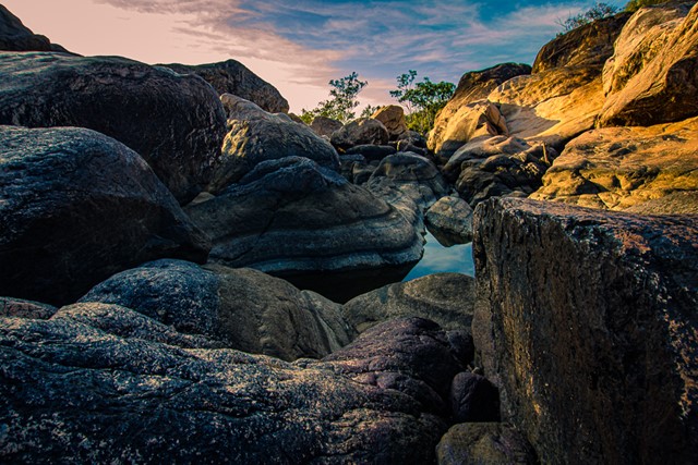
Auburn River National Park , Riverbed and rockpools walk
This is a strenuous walk and should only be attempted by fit walkers. This rough track winds down the side of the gorge to the river, travelling through dry rainforest, eucalypt forest and creek vegetation. The swollen trunks of bottle trees are a forest feature. Before exploring the river: take time to observe the immediate area to ensure you will be able to find the trail on your return. Take care when walking on wet rock surfaces, as they can be slippery.