
Menu
Popular Walks
-
Mt Ngungun
(1138 ticks) -
Mount Coolum
(858 ticks) -
Mt Warning Summit Trail
(758 ticks) -
Mt Cordeaux
(655 ticks) -
Twin Falls Circuit
(625 ticks)
Popular Walks
-
Mt Ngungun
(1138 ticks) -
Mount Coolum
(858 ticks) -
Mt Warning Summit Trail
(758 ticks) -
Mt Cordeaux
(655 ticks) -
Twin Falls Circuit
(625 ticks)
Sub-Regions
Walks in Main Range National Park
(South East Queensland, Queensland)
 12
km
12
km
 5.5
hrs
5.5
hrs
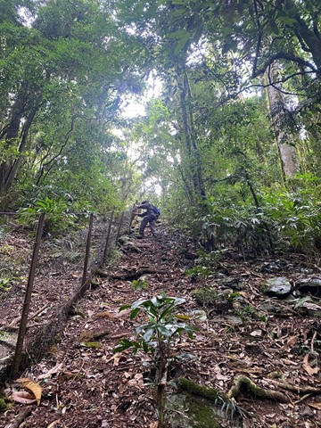
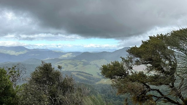
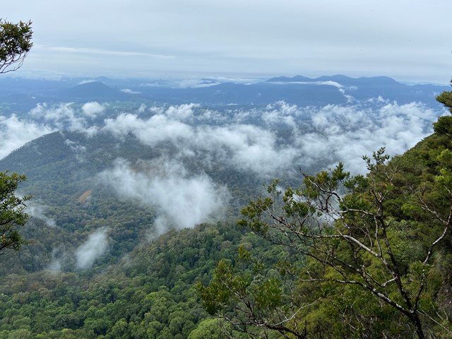
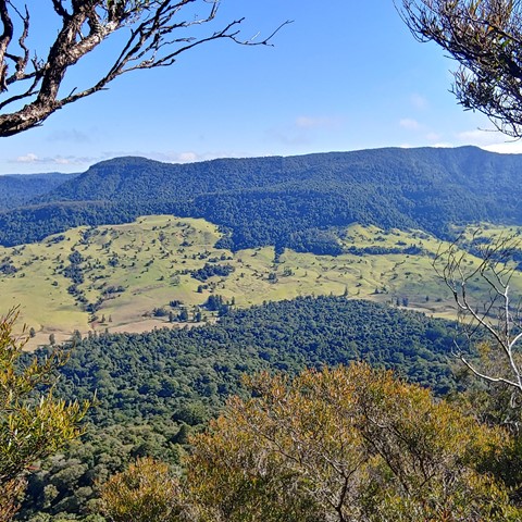
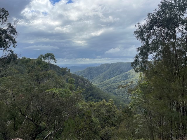
Wilson's Peak - Eastern Approach
The eastern approach to Wilsons Peak, following the Qld/NSW rabbit fence to a mountain that straddles the border, with some really steep sections.
 12
km
return
4
hrs
12
km
return
4
hrs
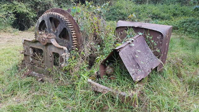
Winder Track
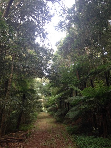
The Winder track starts at the north-east end of Lookout Road, 6.3 km beyond Kurrajong picnic area. This track passes through rainforest along the crest of the Mistake Range before ending at the 'winder', a piece of relic machinery from the early days of timber cutting.
Walks in Mapleton National Park
(South East Queensland, Queensland) 300
m
return
15
mins
300
m
return
15
mins
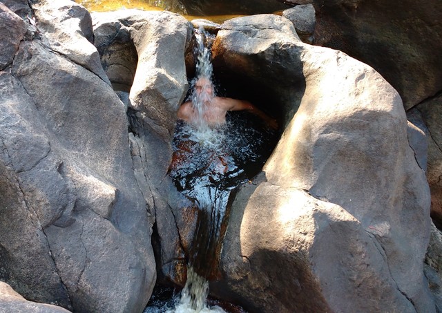
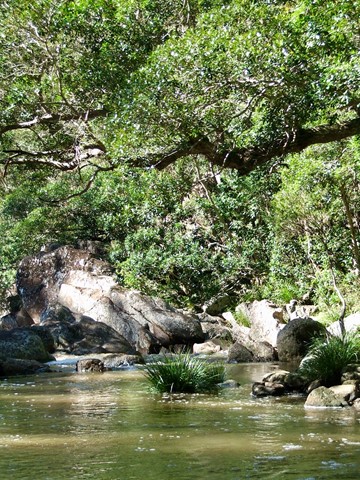
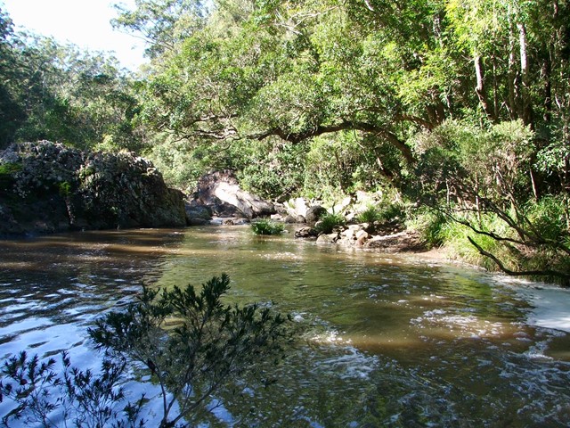
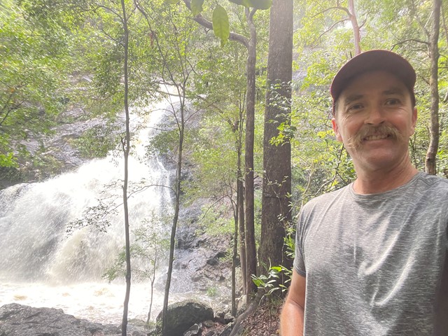
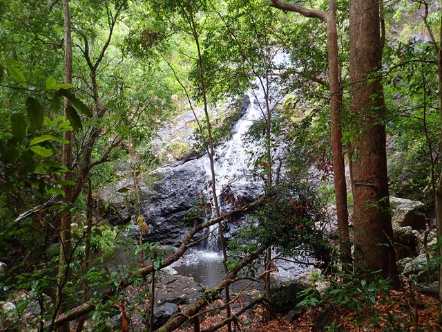
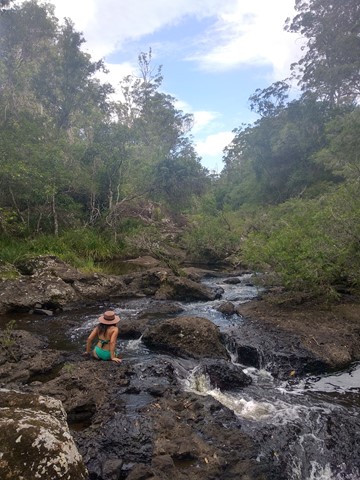
Cooloolabin Conservation Park - Kiamba Rd Section.
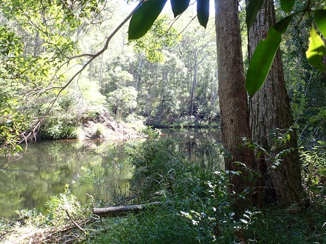
This is all about peace and tranquillity; sitting on the rocks or dipping your feet in the cool water pools, as the waters cascade over the boulders.
 2.8
km
return
1
hr
2.8
km
return
1
hr
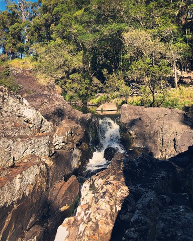
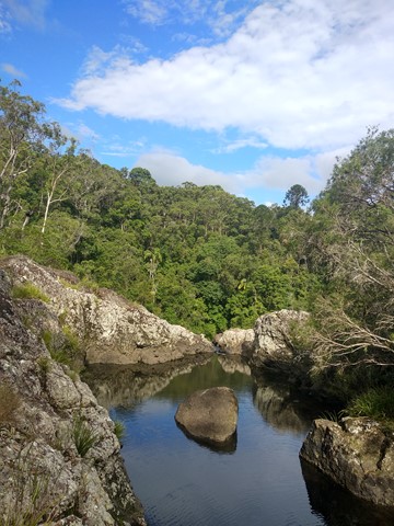
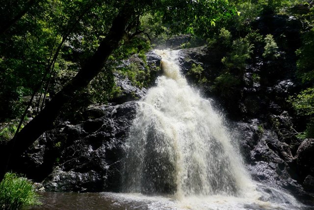
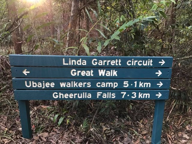
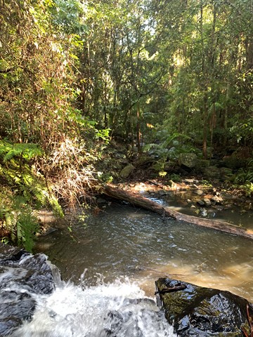
Gheerulla Falls
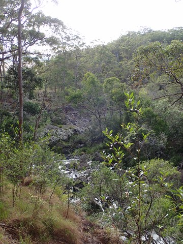
A lovely short, but fairly steep walk down an overgrown track to the creek bed and hidden water fall.
 22
km
6
hrs
22
km
6
hrs
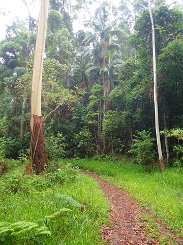
Gheerulla Valley Circuit
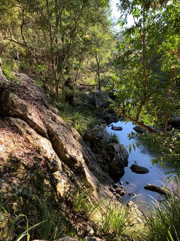
A pleasant day walk in the spectacular Gheerulla Valley including some steep sections from the river up and some great lookouts at the top.
 2.5
km
return
1
hr
2.5
km
return
1
hr
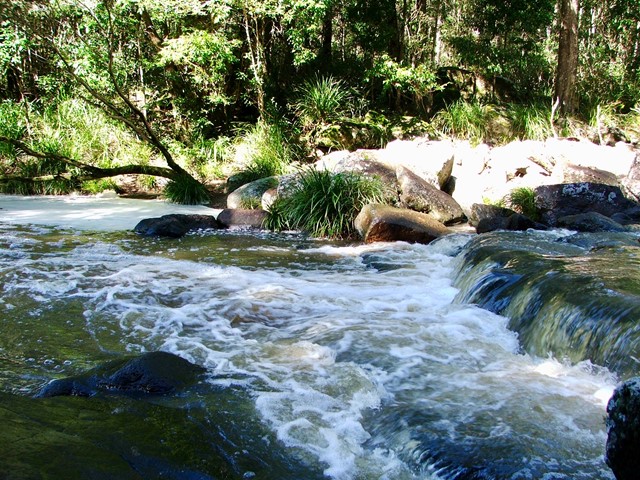
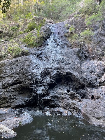
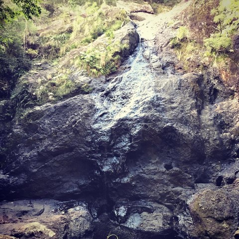
Kureelpa Falls
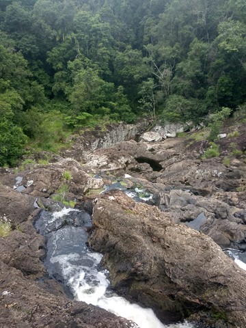
A hidden gem in the Mapleton National Park, with water from the South Maroochy River cascading over boulders before falling 30m into a hidden gorge.
 700
m
return
15
mins
700
m
return
15
mins
Linda Garrett Circuit
A very short walk dedicated to Linda Garrett, who donated lands for the benefit of the community.
 14
km
4
hrs
14
km
4
hrs
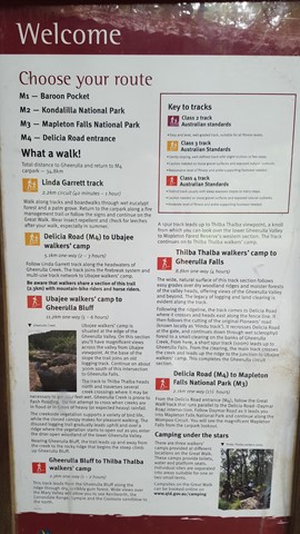
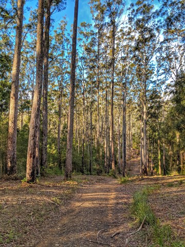
M4 parking/Ubajee walkers camp/Gheerulla falls loop
This is pleasant walk which is part of the Sunshine Coast Great walk. To get there turn down Delicia road and proceed to the M4 parking area. From there take the Great walk trail that leads to the Ubajee Walkers camp. From the camp follow the trail down to the Gheerulla falls and then from there its simply a matter of following the track back up to Delicia road (appr 2 km) and back to the carpark via the dirt road.
 1.8
km
return
1
hr
1.8
km
return
1
hr
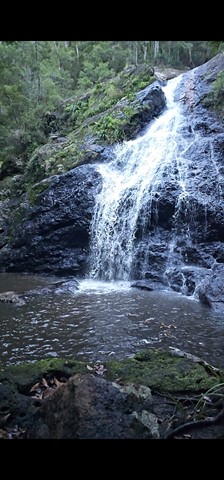
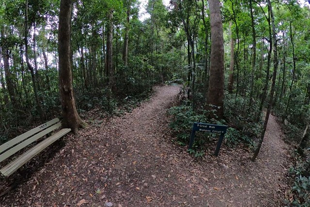
Mapleton Falls & Wompoo Circuit
This walk winds through rainforest and eucalypt forest, whilst providing views of the 120m falls tumbling down the escarpment from Pencil Creek into Obi Obi Valley.