
Menu
Popular Walks
-
Mt Ngungun
(1138 ticks) -
Mount Coolum
(858 ticks) -
Mt Warning Summit Trail
(758 ticks) -
Mt Cordeaux
(655 ticks) -
Twin Falls Circuit
(625 ticks)
Popular Walks
-
Mt Ngungun
(1138 ticks) -
Mount Coolum
(858 ticks) -
Mt Warning Summit Trail
(758 ticks) -
Mt Cordeaux
(655 ticks) -
Twin Falls Circuit
(625 ticks)
Sub-Regions
Walks in Karawatha Forest
(South East Queensland, Queensland)
 1
km
return
1
km
return
 20
mins
20
mins
Melaleuca Circuit
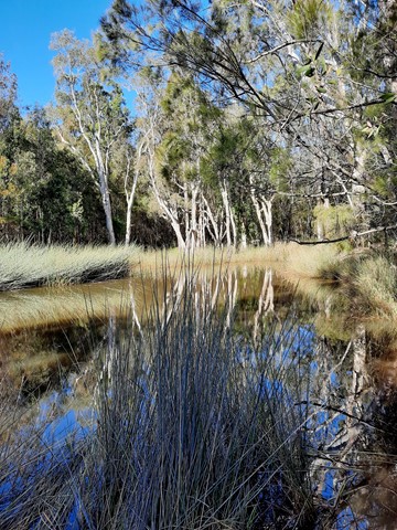
Small freshwater lagoons and eucalypt forest with large scribbly gums along the lagoon edge. This is a great walk for birdwatching. Easily accessed from Illaweena Street picnic area.
4
km
1
hr
Poets Rock
From Stretton Reserve, cross the bridge and head up Casuarina Track. Take the right onto Macaluta track. About a kilometre or so in, right before you hit the join with Hakea track, you'll see a steep track heading to the left. Scramble up there and you've reached the peak of Poets Rock. A good place to think and write poetry.
 3.4
km
return
45
mins
3.4
km
return
45
mins
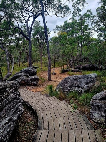
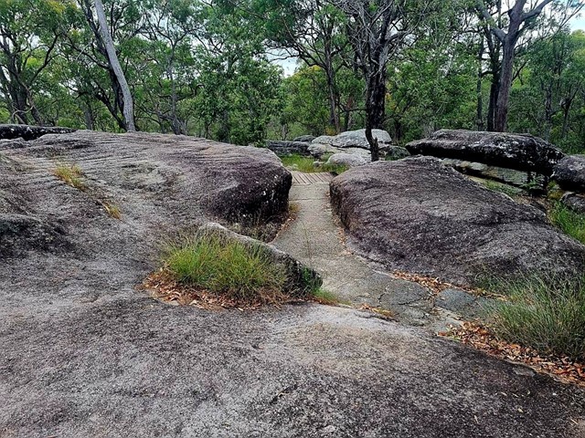
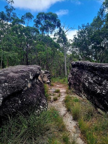
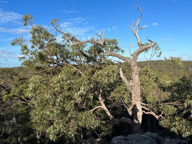
Rocks Circuit
A good circuit walk. Great view over the bushland. Includes stairs.
 8.62
km
return
2.27
hrs
8.62
km
return
2.27
hrs
Rocks, Dianella, Lomatia, Bracken, Entolasia, Rocks Trails
Trails added together to make walk longer.
Acacia Rd Trailhead
 8
km
2
hrs
8
km
2
hrs
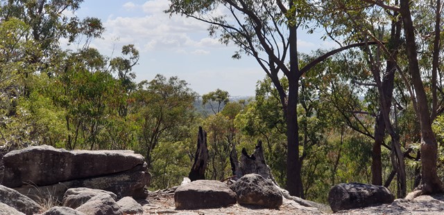
The Rocks Circuit (from Illaweena Street)
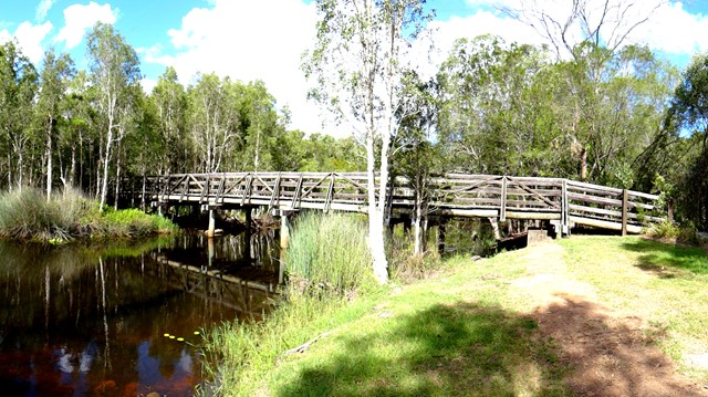
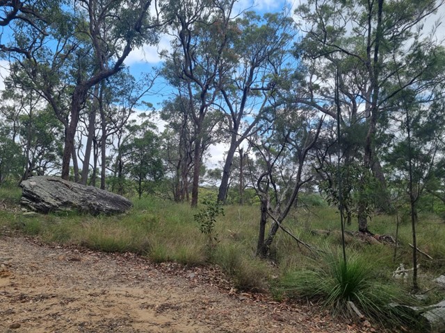
Starting from Stretton Reserve on Illaweena St, head to the far end of the picnic area and across the bridge over the lagoon. Start following the power lines and head slightly up hill. About 700 metres in, follow the sign to the right Dianella Trail. There's an interesting and rather random car wreck in here. Keep following it at any sign posts by heading to the Wallaby track.
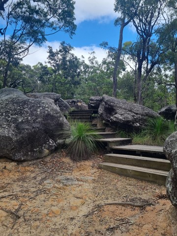
When you reach the Wallaby track, head right for 170 metres then left for 120 metres onto the Rocks circuit. Head right (ignore the path in front of you) and keep following it around. Stick to the Rocks Circuit. You'll eventually come to an unsigned junction. Don't go uphill to the left (that will take you back to the Wallaby track) but head right down the gully and then up some stairs. This will eventually take you to an excellent little picnic area at the highest point in the park, with a nice view of the local area.
From the picnic area, head west on the Entolasia track towards the reservoirs and mobile phone towers. After the mobile tower (but before the huge/second water reservoir) head left where the sign says Wallaby track, but don't head onto the Wallaby track. There'll be a green arrow painted on a tree. Follow that arrow and head down the Casuarina track. If you ever wander off track, just follow the main track under the power lines until you get back to the bridge and lagoon.
 2.5
km
return
30
mins
2.5
km
return
30
mins
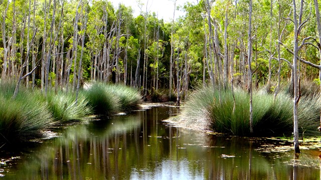
Wild May Lagoon Trail
A short walk in Karawatha Forest which follows a fire trail and passes some lagoons.
Picnic tables at taps at start of trail
Walks in Kondalilla National Park
(South East Queensland, Queensland)
4.9
km
return
2
hrs
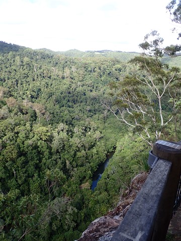
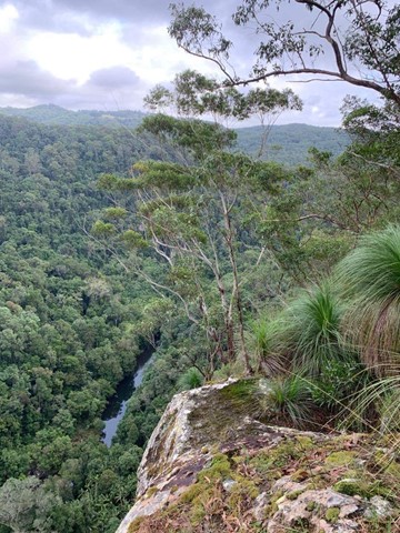
Baroon Lookout
A great family walk up the side of the gorge to the lookout out across Obi Obi Creek as it heads north from the Baroon Dam and into the Blackall Range to join the Mary River.
 20
km
5
hrs
20
km
5
hrs
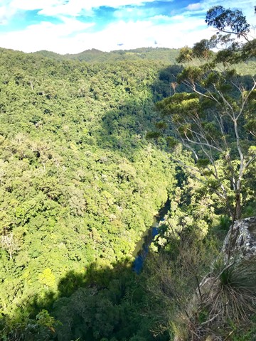
Baroon Pocket to Kondalilla Falls (return)
A stroll through the Southeast Queensland rainforest, with spectacular views down Obi Obi Creek.
 3.3
km
one-way
90
mins
3.3
km
one-way
90
mins
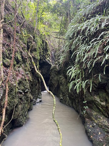
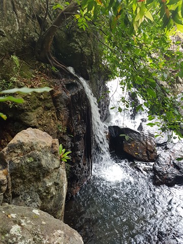
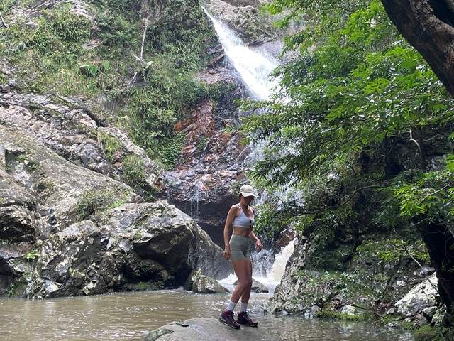
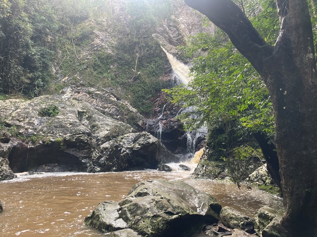
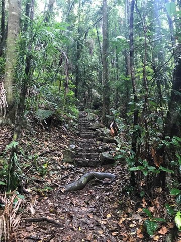
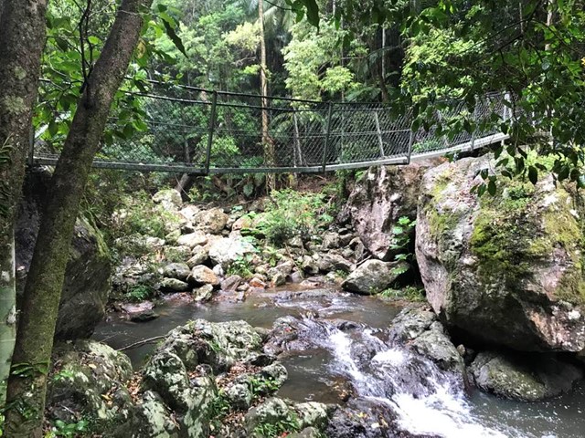
Baxter Falls - Northern Approach
This walk leads through open eucalypt forest, dropping almost 300m down to the suspension bridge across Baxter Creek and the Falls to your left. The water falls into a 'bowl', before cascading into the bottom of the creek. Access to the 'bowl' is thought to be by bush bash to the left, but was not tracked.
 7.6
km
return
3
hrs
7.6
km
return
3
hrs
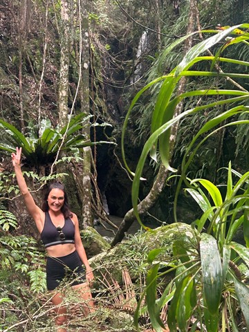
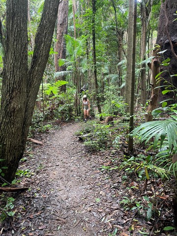
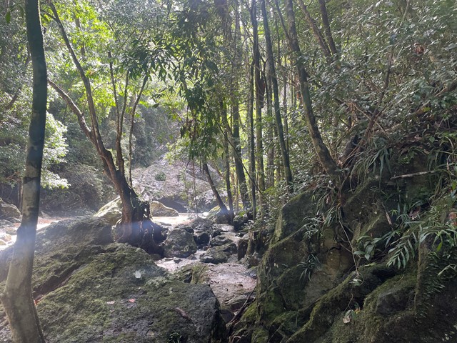
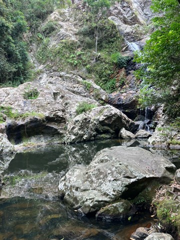
Baxter Falls - Southern Approach
This walk leads through open eucalypt forest, past rocky outcrops and down the side of the gorge to Baxter Creek with its suspension bridge and beautiful waterfall.