
Hanging Rock Bushwalk
Gold Coast


Menu
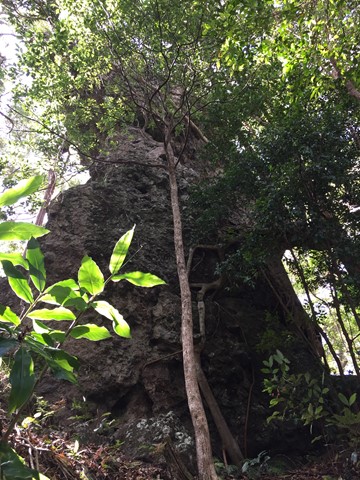

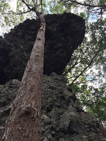
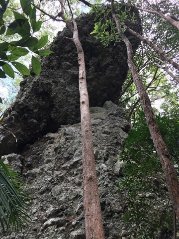
This bushwalk follows the border fence East from the Tomewin border crossing through often overgrown terrain. Initially you head up hill to Mount Boyung Thuga before continuing over the shoulder of Mount Tomewin and then over Mount Talganda Colgon (consult NSW SIX maps rather than Qtopo for accurate mountain positioning). The Hanging Rock formation is a few hundred metres past Mount Talganda Colgon.

Getting there:
Mount Tomewin Border Gate the firetrail that heads East on the Queensland side.
Maps:
Maps of Tomewin
Route/Trail notes:
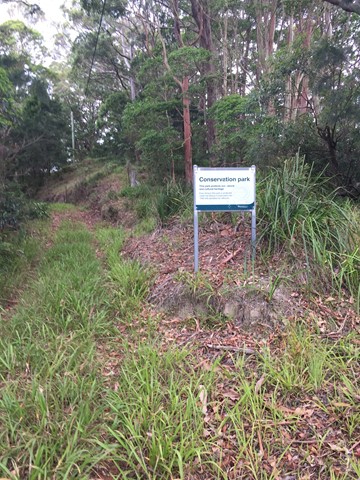
This bushwalk follows the border fence East from the Tomewin border crossing through often overgrown terrain. Initially you head up hill to Mount Boyung Thuga before continuing over the shoulder of Mount Tomewin and then over Mount Talganda Colgon (consult NSW SIX maps rather than Qtopo for accurate mountain positioning). The Hanging Rock formation is a few hundred metres past Mount Talganda Colgon. Most of the walk is along the Queensland side of the border fence though a section before Mount Tomewin walking is significantly easier along the New South Wales side (when you can see an obvious clearing on the other side of the fence and a firetrail that follows the fence for a while). Worth noting much of the trail is overgrown.
Permits/Costs:
None.
Other References/Comments:
None provided.
GPS Tracks
- No GPS available for this walk yet.
 5
5 3
3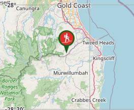
Comments
Nobody has commented on this walk yet. If you've done it then tick it off and add a comment.