
Menu
Popular Walks
-
Mt Ngungun
(1145 ticks) -
Mount Coolum
(864 ticks) -
Mt Warning Summit Trail
(759 ticks) -
Mt Cordeaux
(659 ticks) -
Twin Falls Circuit
(630 ticks)
Popular Walks
-
Mt Ngungun
(1145 ticks) -
Mount Coolum
(864 ticks) -
Mt Warning Summit Trail
(759 ticks) -
Mt Cordeaux
(659 ticks) -
Twin Falls Circuit
(630 ticks)
Sub-Regions


 3
hrs
3
hrs
Mt Coonowrin
Access to this mountain is closed. Significant penalties apply to anyone found on this mountain without a permit. It is unclear on what grounds a permit may be granted, but if one can be obtained, the previously established route would likely have disappeared.
 3
km
return
4
hrs
3
km
return
4
hrs
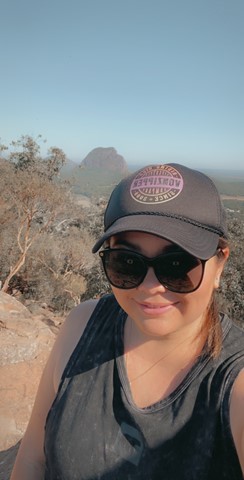
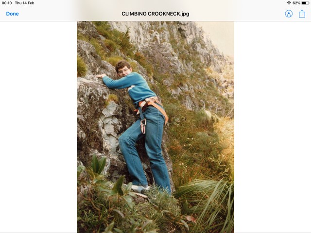
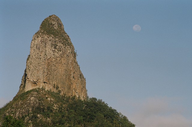
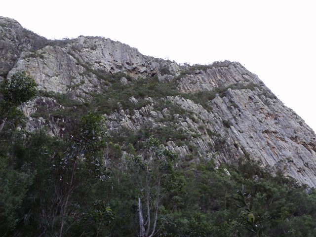
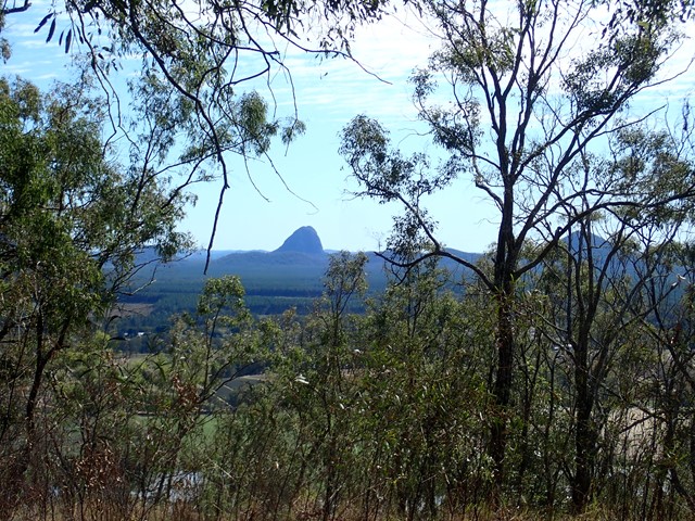
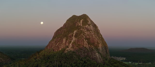
Mt Coonowrin Summit
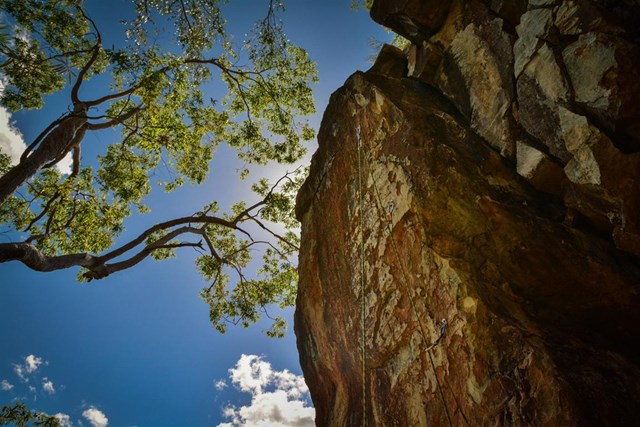
This climb has been closed since the late 90's when I last climbed this mountain.QPWS have banned public access to Mt Coonowrin due to unstable rock and safety concerns. I have included these notes in the hope that QPWS will one day reopen this mountain.
WARNING: Any one caught walking or climbing this mountain faces a minimum $440 fine.
This track requires rock climbing experience and is extremely exposed and WILL result in death or serious injury if attempted by the inexperienced.
 1.7
km
return
75
mins
1.7
km
return
75
mins
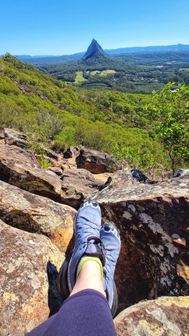
Mt Elimbah (The Saddleback)
At only 120m high this is an easy climb to the top of one of the two most southerly of the Glass House Mountains. The terrain is mostly rocks with grass or dense bush but has a surprisingly good 360° view from the top.
 1.2
km
return
75
mins
1.2
km
return
75
mins
Mt Miketeebumulgrai
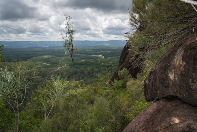
Mt. Mike as it is known is twice as tall as its neighbour Mt Elimbah with a fast but steep ascent through eucalypt forest nested on scree and leaf litter-covered slopes. The views from the top are not great but what can be seen is the extensive horticulture on the plains below, particularly of strawberries and pineapples.
 2.8
km
return
90
mins
2.8
km
return
90
mins
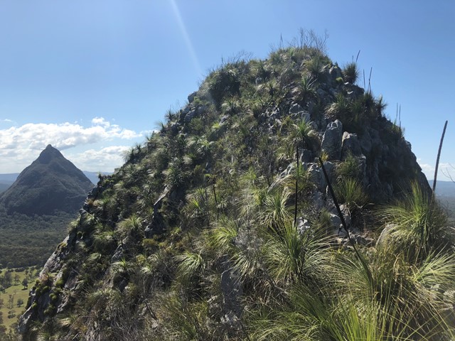
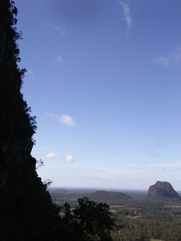
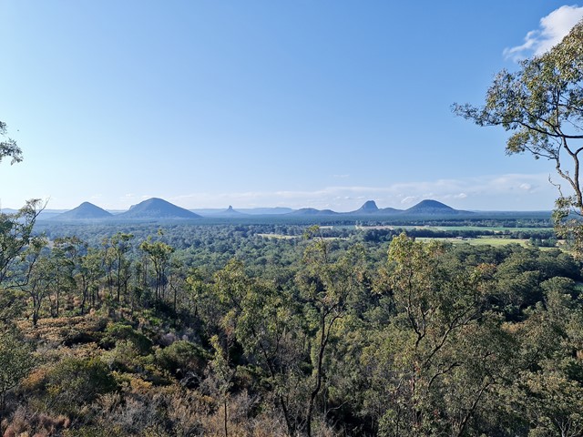
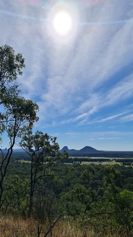
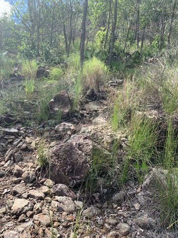
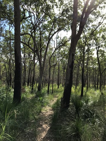
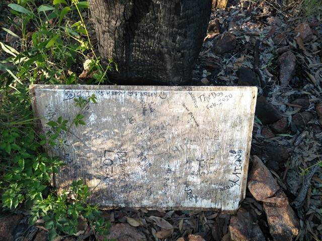
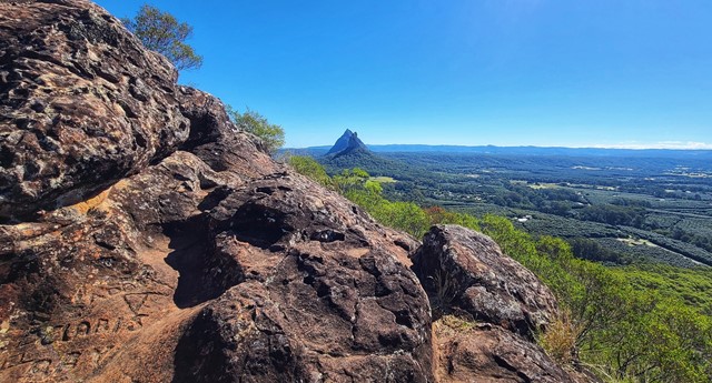
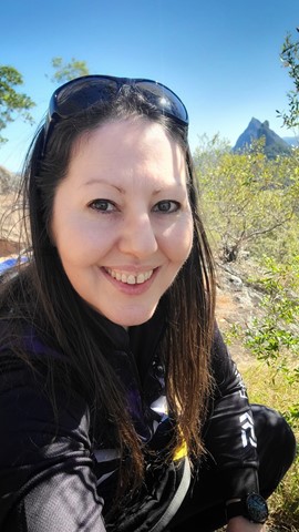
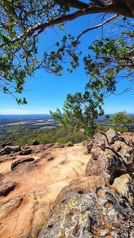
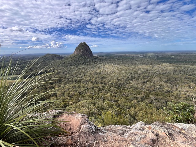
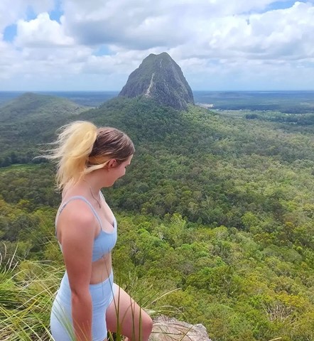
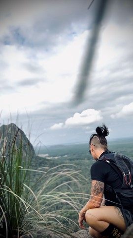
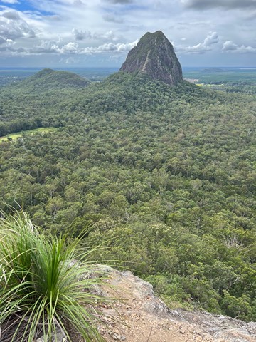
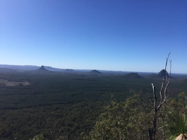
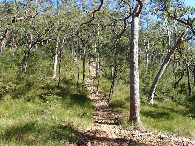
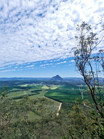
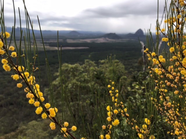
Mt Ngungun
Mount Ngungun (pronounced 'noo noo')but generally known as "Gun Gun" is a very popular hike due to its relative ease and fantastic views. Traditional owners have asked that this mountain not be climbed.
A well defined graded track with some steep sections. The track begins in open forest with a fern understory. Part way up the mountain, there is a great view of Mt Tibrogargan as the track passes a small rock overhang. The summit provides spectacular close-up views of nearby Mt Tibrogargan, Mt Tibberoowuccum, Mt Coonowrin and Mt Beerwah.
 1.7
km
return
1
hr
1.7
km
return
1
hr
Mt Tibberoowuccum
A steep walk to the summit of the mountain, a bit of an uneven but level scramble along the ridge for about 50m with a small 6-8m steep scramble to get to the peak at the end of it. Summit has spectacular views of the surrounding mountains and north to the Sunshine Coast. There are two alternative tracks which meet at the the top of the ridge at a point where an arrow painted on a rock directs you along the ridge to the summit. Take care as both tracks can be slippery after rain due to wet clay/ tree roots and loose shale at the top of the tracks can be a concern in any weather as well.
 3
km
return
3.5
hrs
3
km
return
3.5
hrs
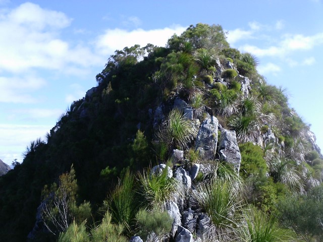
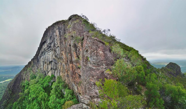
Mt Tibrogargan
When someone asks me about doing this climb I describe it as “the perfect mountain” because it is a perfect amount of challenge and ease. For me there are only 2 very small sections that make my heart freeze abit but the rest is just perfect fun scrambling it’s actually quite easy but a good workout. Views are completely worth it. Beautiful mountain
 4.9
km
return
3.5
hrs
4.9
km
return
3.5
hrs
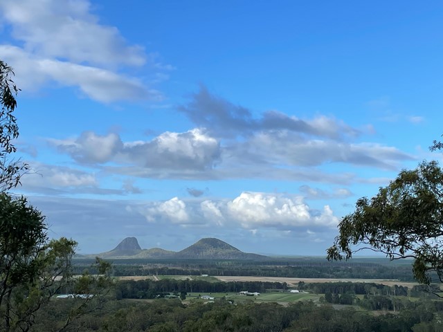
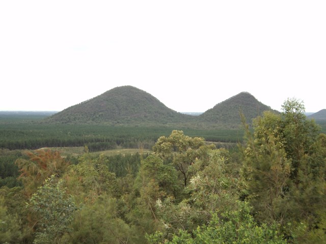
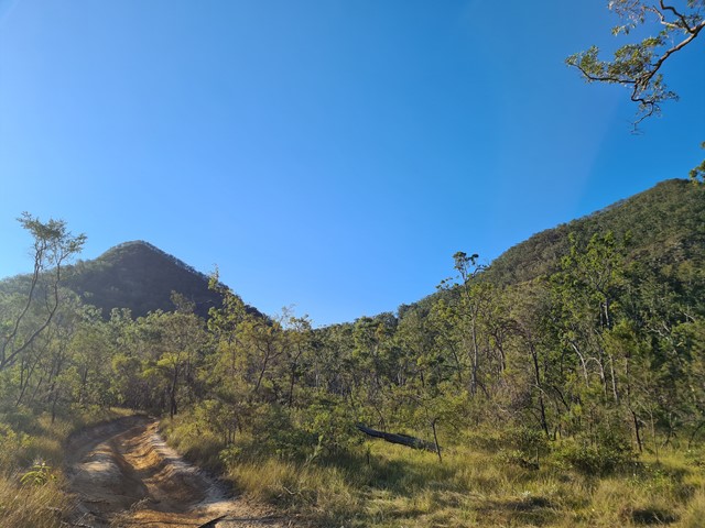
Mt Tunbubudla East
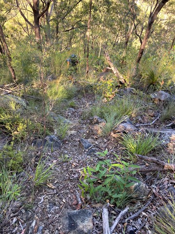
Mt. Tunbubudla is in fact two mountains known as The Twins. Not easy to access and certainly not easy to climb, and the view of the rest of the Glasshouse Mountains from the South really isn't visible through the trees on the summit. However, it can provide and excellent challenge in bush-bashing or in steep rocky ascents.
 4.7
km
return
3.5
hrs
4.7
km
return
3.5
hrs
Mt Tunbubudla West
Mt. Tunbubudla is in fact two mountains known as The Twins. Not easy to access and certainly not easy to climb, but the reward is a new perspective of the remainder of the Glass House Mountains to your north.
 750
m
one-way
3
hrs
750
m
one-way
3
hrs
Mt. Beerwah - Alpine Route
Steep and tricky scramble followed by a nasty scrub bash section, climbing the North West side to join the upper tourist track. Basic rock climbing skills are needed to ascend the first 100m. Rope and some trad gear would be advisable on the lower section to lead a group.
A route of a strong wild environment and adventure character not to be taken lightly by inexperienced route finders.