
Menu
Suggested searches
Your search found 510 results...

 250
m
return
250
m
return
 20
mins
20
mins
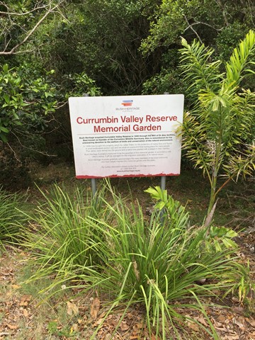
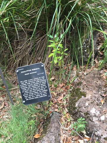
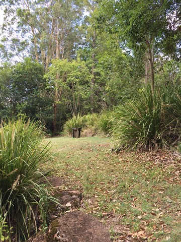
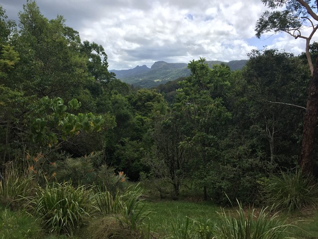
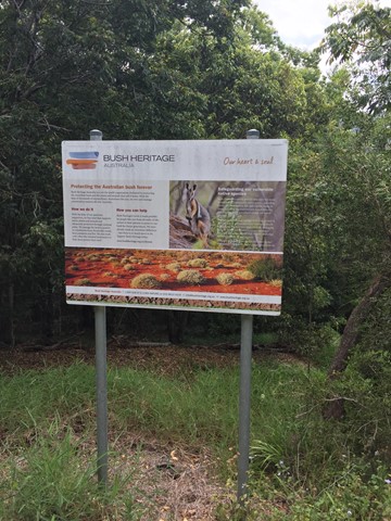
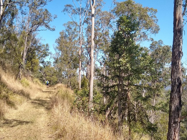
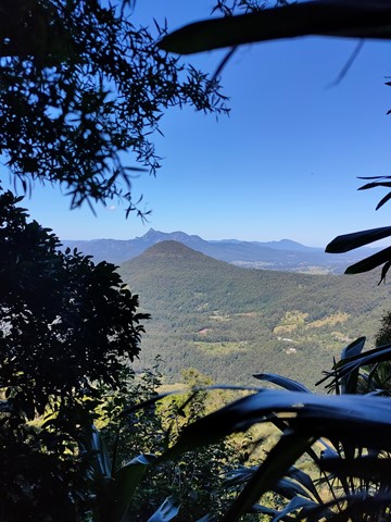
Currumbin Valley Reserve
Gold Coast
A short amble around the Bush Heritage Australia property the Currumbin Valley Reserve previously known as the Griffiths Nature Refuge. The reserve is also home to a memorial garden which serves as the final resting place for people's ashes. The reserve has some informative signage on native trees and provides views of and access to the adjacent Nicoll Scrub National Park.
 16
km
return
4
hrs
16
km
return
4
hrs
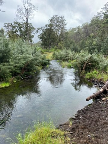
Blackfellow Creek Glen Rock
South East Queensland
An easy but longer walk. Yet no hills so the little ones can go along on this hike.
 3.2
km
return
90
mins
3.2
km
return
90
mins
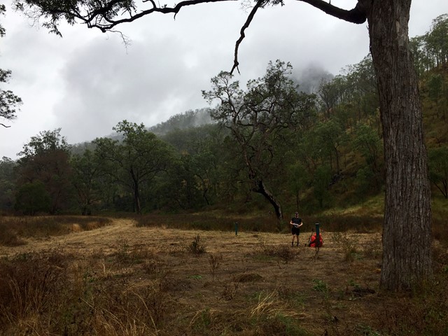
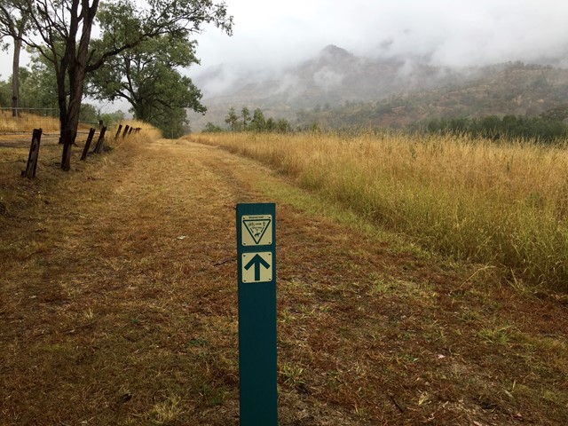
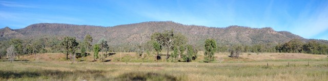
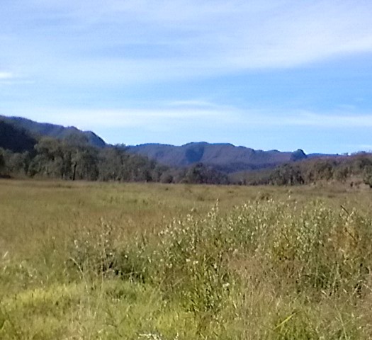
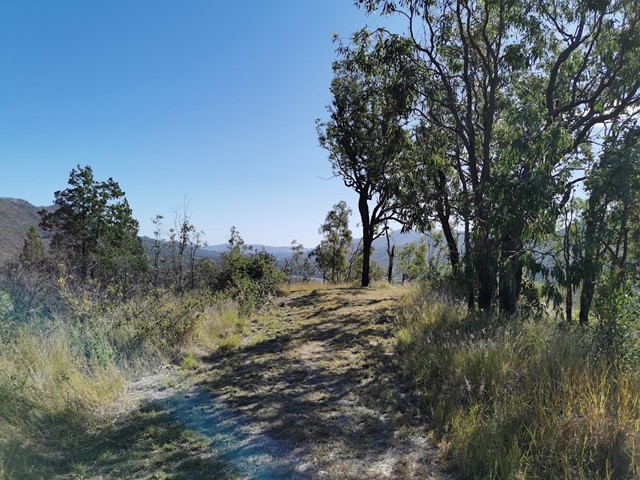
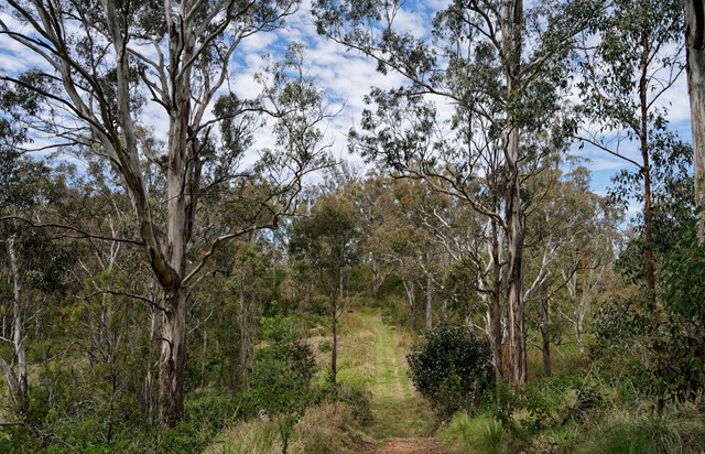
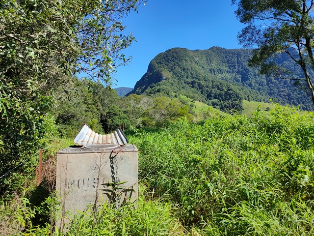
Mount Machar walking track
Glen Rock Regional Park
This short walk starts from the camping area, crosses the creek bed and goes up the hill to provide panoramic views of the valley. The eucalyptus trees block some of the view, but you can catch the sun coming over the mountains from here.
The path is a clear, wide strip of mowed grass and is easy to follow.
 9.5
km
return
3.5
hrs
9.5
km
return
3.5
hrs
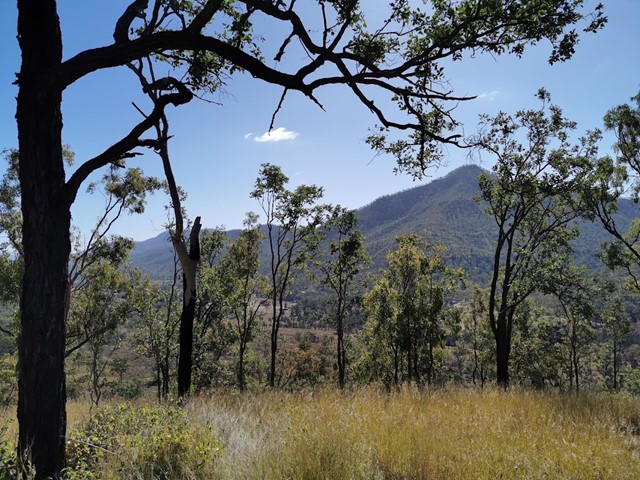
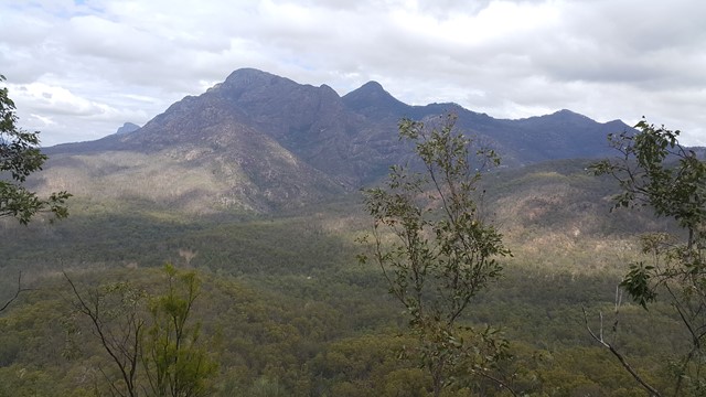
Mt Mitchell via West Peak
Main Range National Park
A variation on the usual Mt Mitchell walk, for those who want to "bag" another peak
 7.2
km
return
70
mins
7.2
km
return
70
mins
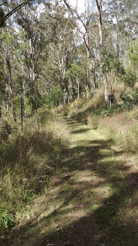
Munroe Tramway
Darling Downs South West
An easy, well-maintained walk through bushland and farmland, including some short sections that join up with the dirt road.
Interpretive signs tell the history of the Munroe Tramway, and some lovely views/birdwatching opportunities.
Officially listed as Grade 3/Medium difficulty (including some uneven surfaces and mild inclines), this track is suitable for walkers of most ages and fitness levels.
 120
m
return
10
mins
120
m
return
10
mins
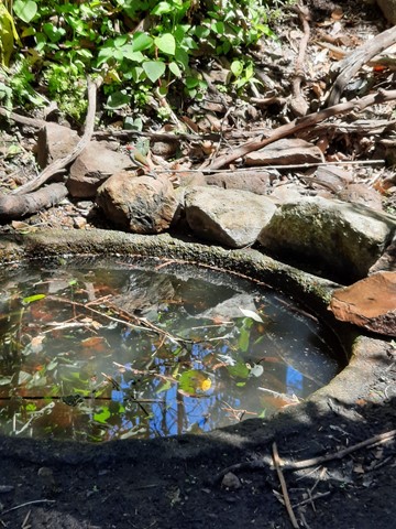
Moss's Well
Main Range National Park
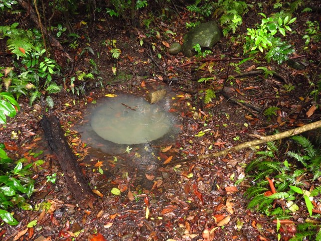
Moss's Well, in tall open forest, is a haven for many species of birds. The well is believed to take its name from Edward Moss, the first road contractor. This was the only water for travellers and their teams making their way over the range. The well water is now unsuitable for drinking.
 7.6
km
return
3
hrs
7.6
km
return
3
hrs
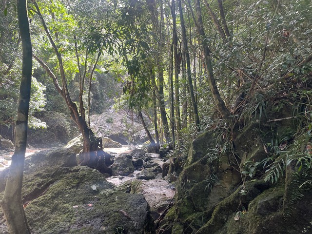
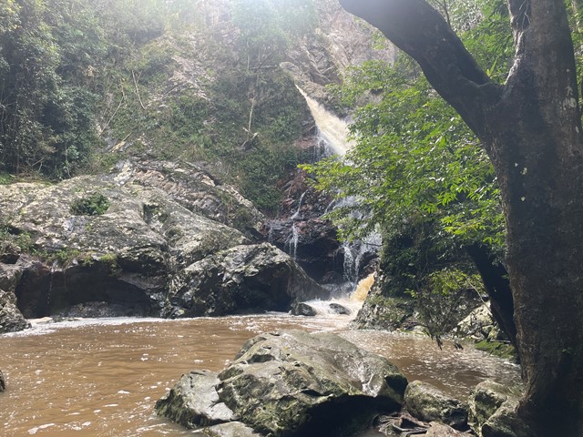
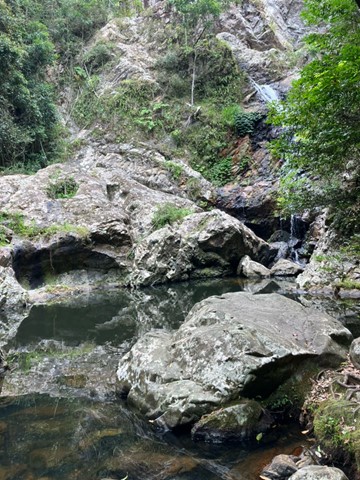
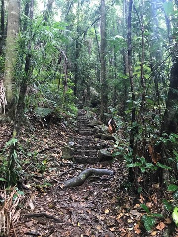
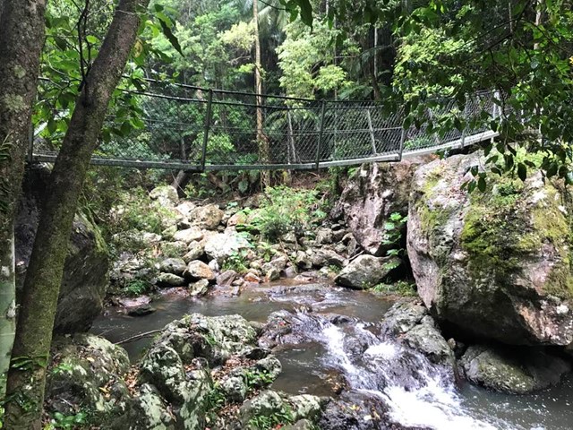
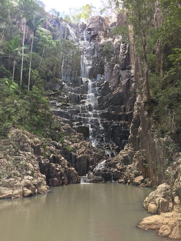
Baxter Falls - Southern Approach
Kondalilla National Park
This walk leads through open eucalypt forest, past rocky outcrops and down the side of the gorge to Baxter Creek with its suspension bridge and beautiful waterfall.
 4.2
km
return
2
hrs
4.2
km
return
2
hrs
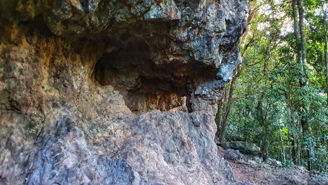
Bushrangers Cave
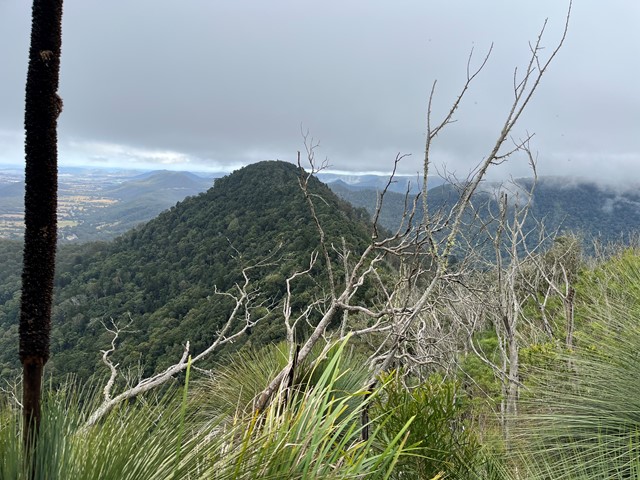
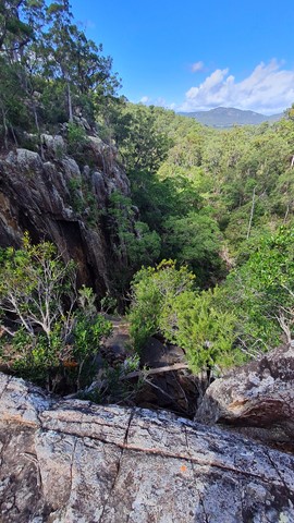
Springbrook National Park
An off-track walk from the border gate to Bushrangers Caves, which used to be an aboriginal camp. The adventurous can head on up Mt Wagawn to join up with the main Lamington track system.
 8
km
return
3.5
hrs
8
km
return
3.5
hrs
Paddy's Peak
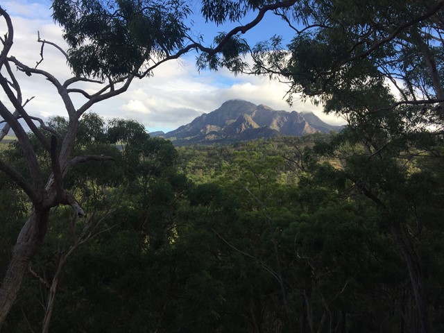
Mt Barney National Park
A reasonably straight forward walk up a lesser known peak nestled between Mt Barney, Mt Maroon and Mt May.
 4.8
km
return
3
hrs
4.8
km
return
3
hrs
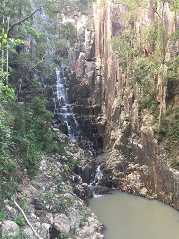
Paddy's Falls
Mt Barney National Park
Also known as Golden Staircase Falls for the so named nearby fire trail. Follows the fire trail before a rock hop up the creek to the falls then you can return the way you came or scramble out of the gully up to the fire trail and use it to go all the way back.