
Menu
Suggested searches
Your search found 510 results...

 3.2
km
return
3.2
km
return
 1
hr
1
hr
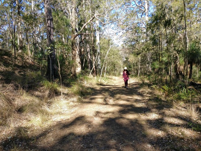
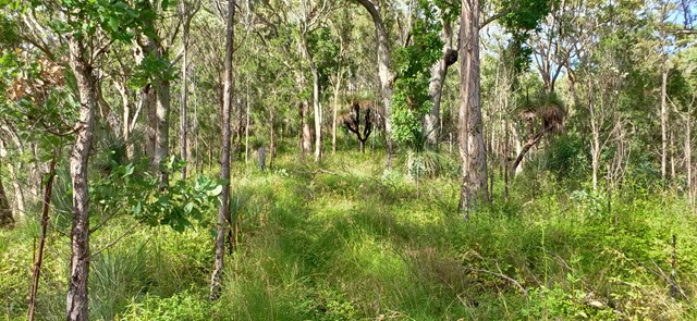
Heritage trail
Main Range National Park
From the Governors Chair car park an interesting self-guiding walk, showing various road construction methods, follows the historic road.
 300
m
return
15
mins
300
m
return
15
mins
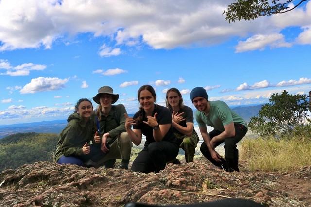
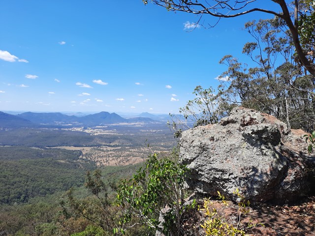
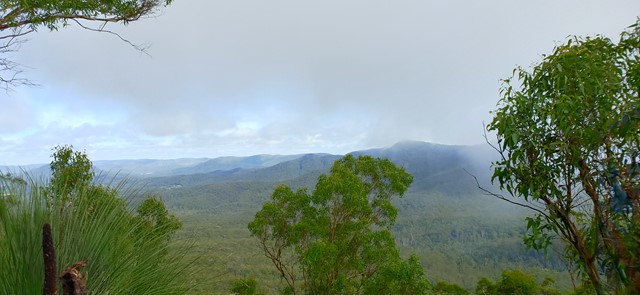
Governors Chair Lookout
Main Range National Park
Magnificent views out over the Fassifern Valley.
Take a seat in the large rock at the edge which was popular resting spot for early governors on their journeys over the range at Spicers Gap.
Be careful as it is a sheer cliff edge.
 12
km
one-way
3
hrs
12
km
one-way
3
hrs
Maroochydore (Picnic Point) to Mudjimba (SCCP 8)
Sunshine Coast
Coastal walk that is part of Sunshine Coast Coastal Walk.
 1.6
km
return
1
hr
1.6
km
return
1
hr
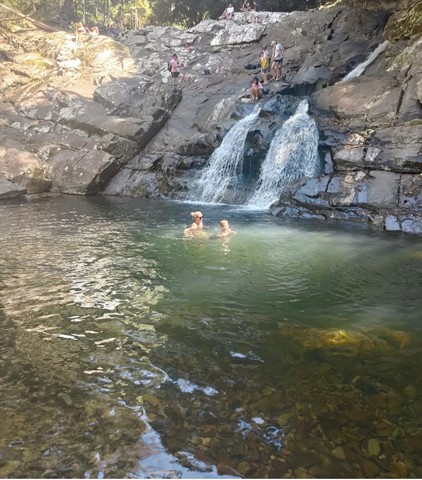
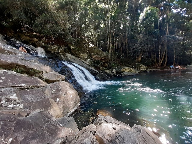
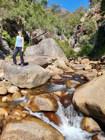
Cougal Cascades
Springbrook National Park
A short walk next to Currumbin Creek. Great for a short walk not too far from the Gold Coast or for cooling off on a hot day (without the sand and salt of the sea).
There are plenty of fantastic swimming holes further up the cascades if you don't mind a 20min walk upstream .
 6
km
return
3.5
hrs
6
km
return
3.5
hrs
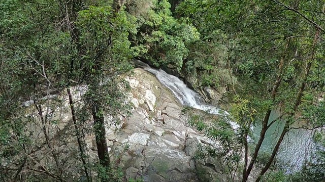
Boyds Butte - from Cougal Cascade
Springbrook National Park
A relatively short walk, but challenging, rainforest walk, with great views as a reward. You'll need a GPS app, or good off-track navigational skills in places.
 3.3
km
one-way
90
mins
3.3
km
one-way
90
mins
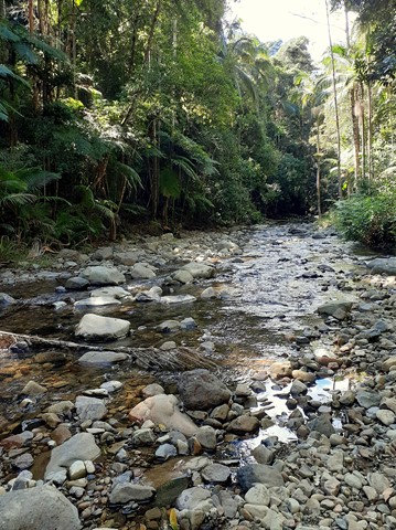
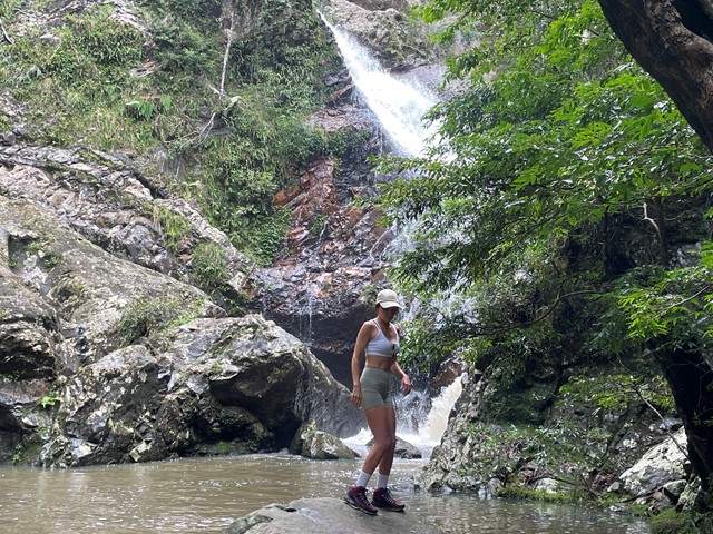
Baxter Falls - Northern Approach
Kondalilla National Park
This walk leads through open eucalypt forest, dropping almost 300m down to the suspension bridge across Baxter Creek and the Falls to your left. The water falls into a 'bowl', before cascading into the bottom of the creek. Access to the 'bowl' is thought to be by bush bash to the left, but was not tracked.
 6
km
return
4
hrs
6
km
return
4
hrs
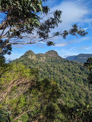
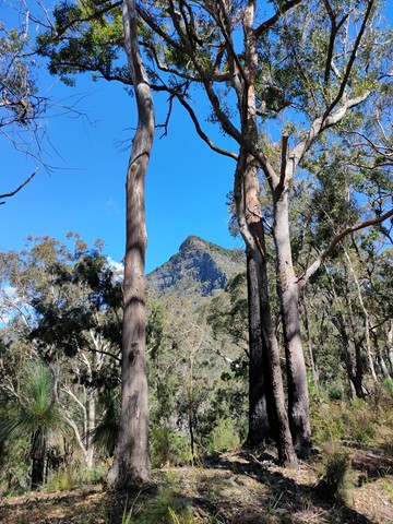
Spicer's peak
Main Range National Park
A steep and loose ascent from Governor's Chair. The views are great over the Fassifern Valley.
 5
km
return
3
hrs
5
km
return
3
hrs
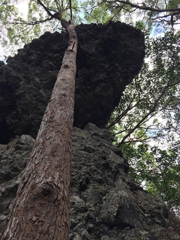
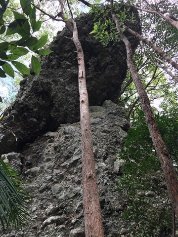
Hanging Rock Bushwalk
Gold Coast
This bushwalk follows the border fence East from the Tomewin border crossing through often overgrown terrain. Initially you head up hill to Mount Boyung Thuga before continuing over the shoulder of Mount Tomewin and then over Mount Talganda Colgon (consult NSW SIX maps rather than Qtopo for accurate mountain positioning). The Hanging Rock formation is a few hundred metres past Mount Talganda Colgon.
 7.4
km
return
3
hrs
7.4
km
return
3
hrs
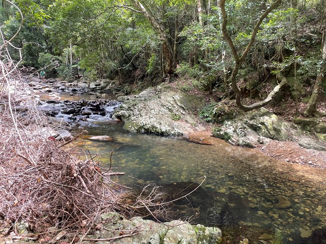
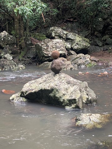
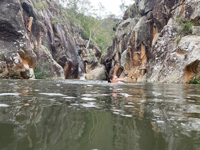
Lower Portals
Mt Barney National Park
This was my first overnight hike. It was challenging, but not ridiculous. A good beginners walk.
I highly recommend going for a dip in the creek even in Winter. It was like an ice bath for my tired muscles.
 1
km
return
30
mins
1
km
return
30
mins
Koala Park
Sunshine Coast
A short easy walk down and up the hillside. It will get the heart pumping if you choose to go up the steps. Great for kids too as there is a playground at the top with BBQs.