
Menu
Suggested searches
Your search found 510 results...

 4.7
km
4.7
km
 2
hrs
2
hrs
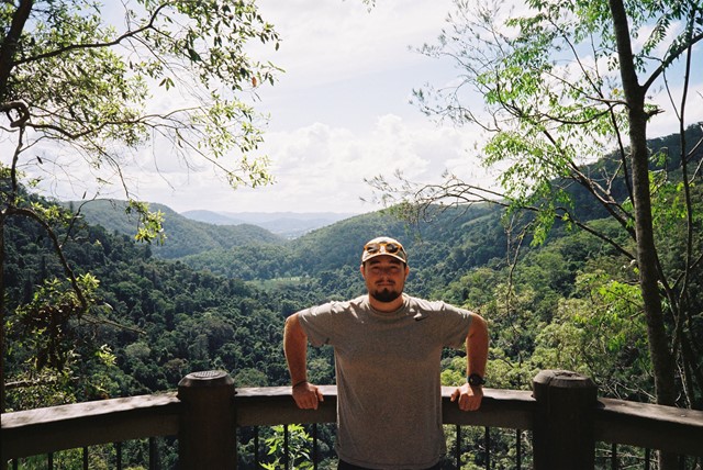
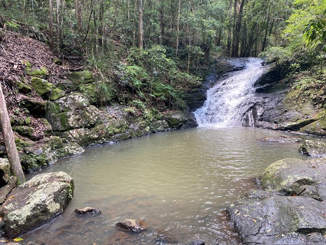
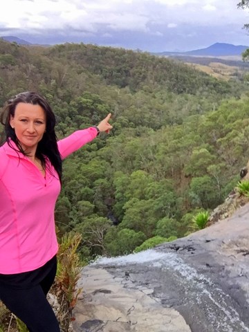
Kondalilla Falls Circuit
Kondalilla National Park
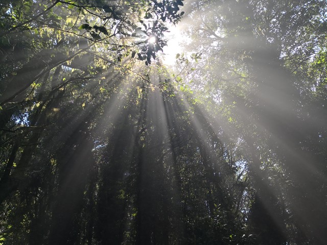
Kondalilla Falls (80m) is one of the most spectacular and accessible falls on the Sunshine Coast Hinterland. The walk down to the falls is 'family friendly' with some rock stairs and a maintained path. Great views of the rainforest valley from the natural rock pools at the top. You can swim in the rock pools at both the top and bottom of the falls.
 1.7
km
return
45
mins
1.7
km
return
45
mins
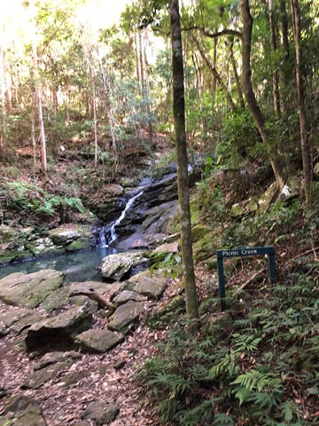
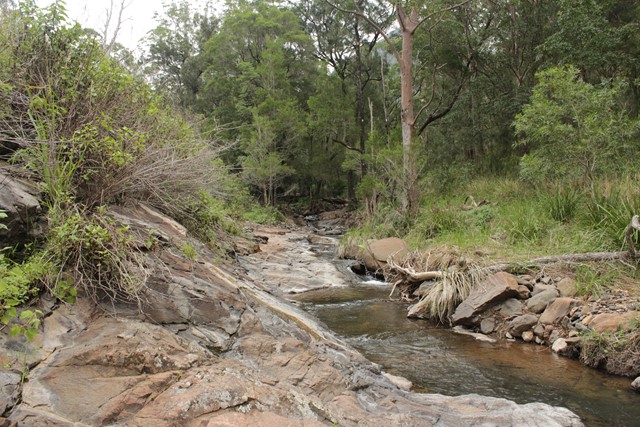
Picnic Creek Circuit
Kondalilla National Park
This easy walk crosses Picnic Creek, passes through tall eucalypt forest and patches of wet sclerophyll (a mix of eucalypt and rainforest species). Enjoy views over the valley from a lookout point.
 9.5
km
return
3.5
hrs
9.5
km
return
3.5
hrs
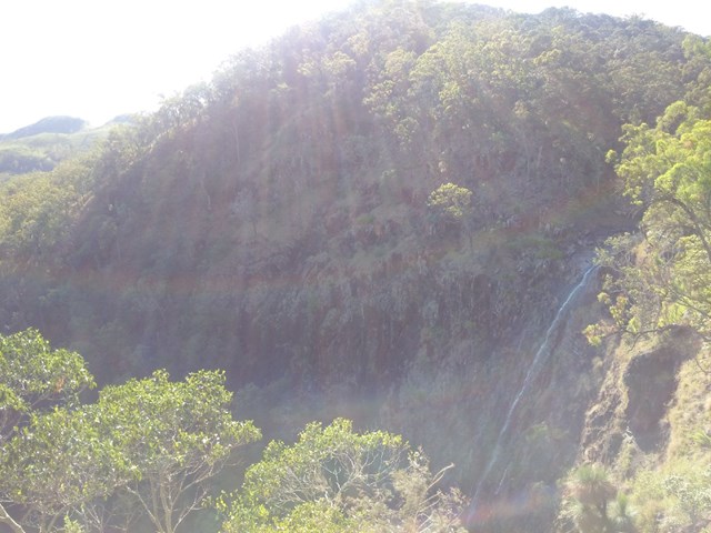
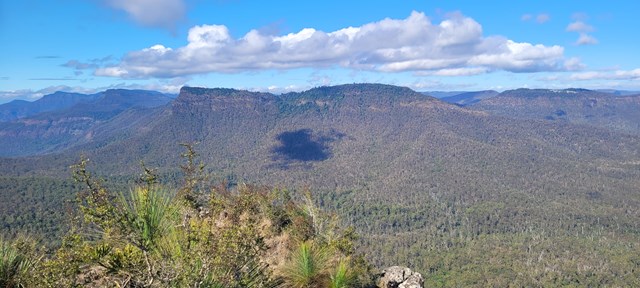
Gap Creek Falls
Main Range National Park
This is a moderately strenuous walk, with good views and a nice creek to paddle in.
 10
km
return
3
hrs
10
km
return
3
hrs
Schultz Track
Kondalilla National Park
This walk can be accessed via Schultz road, in Witta, and appears to be a 4x4 telegraph track (frequently crossing through a power line area). It includes wet and dry Schlerophyll forests, and is Ideal in spring when it isn't too cold. Also, don't go after heavy rain, as creek crossings may be flooded.
 130
m
12
mins
130
m
12
mins
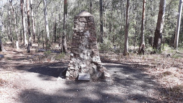
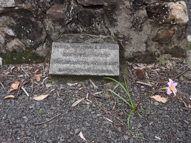
Pioneers Graves
Main Range National Park
130 meters south of the Pioneer picnic ground. A cairn stands to represent where the Pioneers of the area are buried.
 700
m
return
30
mins
700
m
return
30
mins
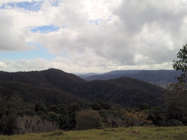
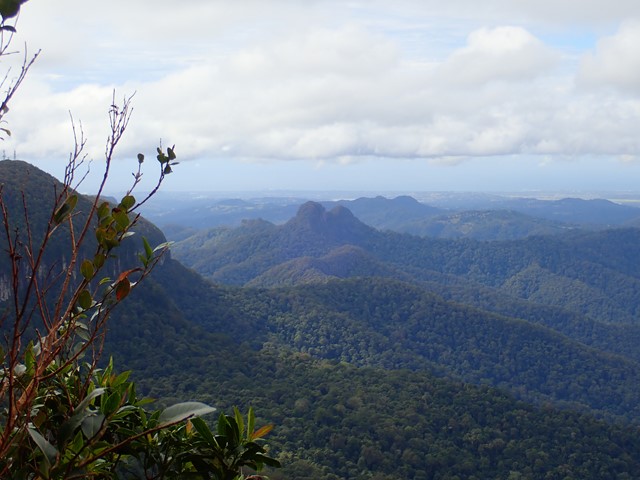
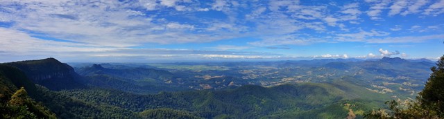
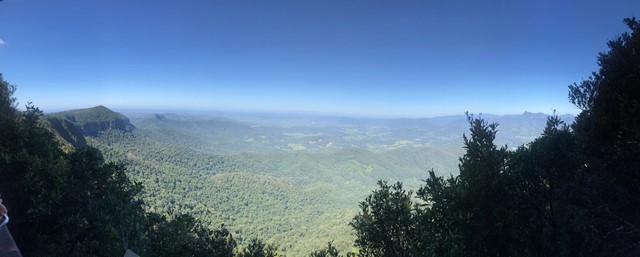
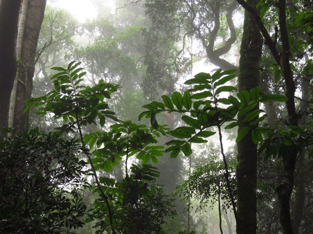
Best Of All Lookout
Springbrook National Park
It makes lofty claims... and meets them! This short walk is well worth the effort with excellent views of the Tweed Valley including Mt Warning, Byron Bay and The Cougals. Plus, it includes one of the most accessible stands of Antarctic Beech Forest (Nothofagus Moorei) in Queensland. If you haven't been there, make sure to stop off next time you're on the plateau.
 3
km
return
1
hr
3
km
return
1
hr
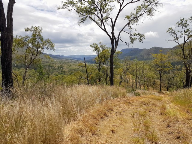
East Lookout
Glen Rock Regional Park
Climb to a lookout at the base of Glen Rock. This walk provides great views down the valley carved by Blackfellow Creek and a good overview of Glen Rock Regional Park.
 7.2
km
return
2
hrs
7.2
km
return
2
hrs
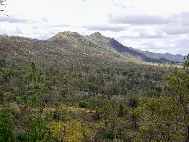
Christies Loop Glen Rock State Forest
South East Queensland
A 7.2km shared trail that starts off easy then head straight up the range before doing a loop coming back down again. Quite steep at times and rocky / gravel track. Does provide some nice views of Mt Philip and Glen Rock as you get higher up.
 1.6
km
return
25
mins
1.6
km
return
25
mins
Rainforest Circuit
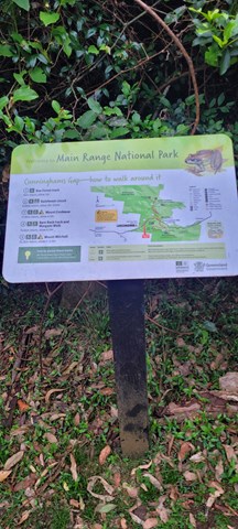
Main Range National Park
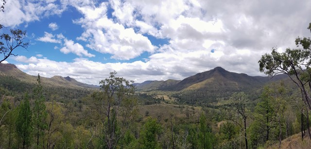
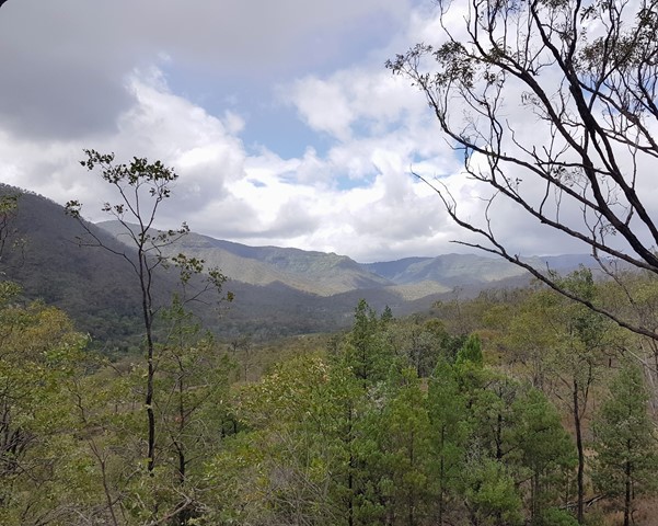
The circuit commences at the eastern end of The Crest car park. It passes the Allan Cunningham monument and is the beginning of an extensive track system on the northern side of Cunninghams Gap. The Fassifern Valley lookout is on the eastern part of the circuit and can be reached by climbing the stairs at the first track junction. The lookout provides a spectacular view over distinctive volcanic peaks, the Fassifern Valley and Lake Moogerah.
For an easier way round the circuit, turn left at the base of the stairs and walk the circuit in a clockwise direction.
 5
km
return
1
hr
5
km
return
1
hr
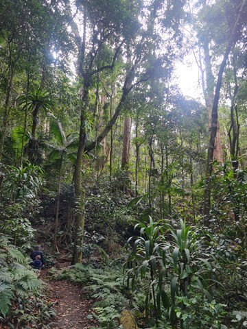
Box Forest Track
Main Range National Park
Rain forest walk from top car park to the bottom rest area at Cunningham's Gap. Includes 2 creek crossings and plenty of little waterfalls along the way.