
Menu
Suggested searches
Your search found 510 results...

 600
m
return
600
m
return
 10
mins
10
mins
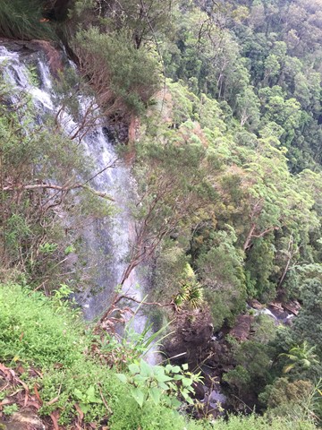
Goomoolahra Falls Lookout Track
Springbrook National Park
Picnic area with a view. Wheelchair friendly track to a stunning view of the top of Goomoolahra Falls with the warrie circuit track below and views of the Springbrook Pinnacle and out to the coast and the general hinterland.
 2
km
return
1
hr
2
km
return
1
hr
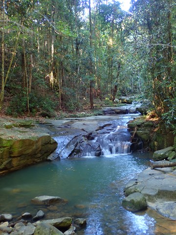
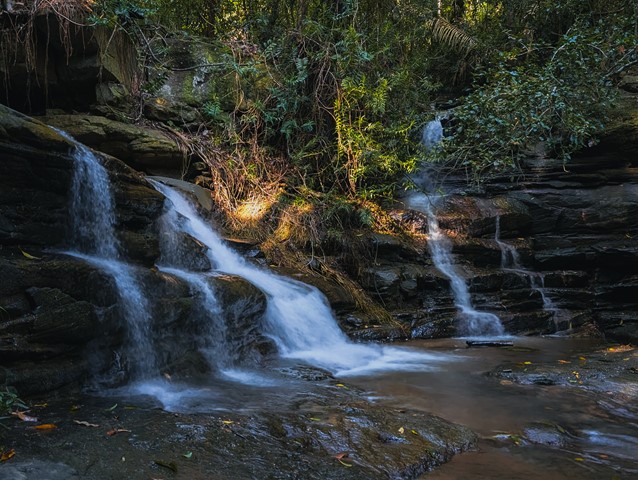
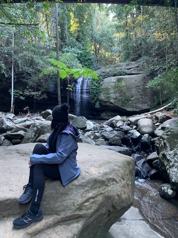
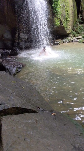
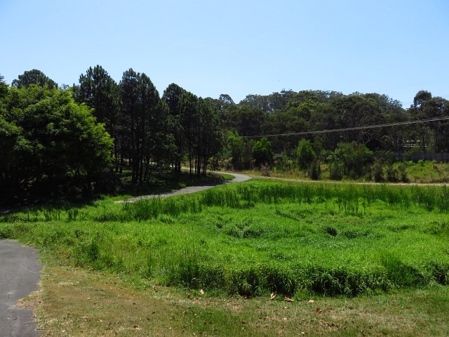
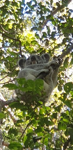
Buderim Forest Park
Sunshine Coast
This is a 45 hectare secluded oasis, hidden on the northern side of Buderim, less than a kilometre from the Buderim Village. This is a rainforest world of tall trees, ferns, babbling waterfalls, cascades and bird calls.
The area was purchased many years ago by the Council as a reserve for all of Buderim.
Amazingly much of the creek actually belongs to private land owners as once did the waterfall! The falls were a favourite recreational place for the region’s indigenous people and have been unofficially named “Serenity Falls”, but are widely known as the Buderim Falls.
 2.5
km
return
45
mins
2.5
km
return
45
mins
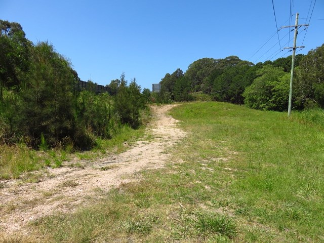
Tugun Hill Conservation Area
Gold Coast
The Tugun Hill Conservation Area is approximately 16 hectares and is managed for conservation purposes.
 4.5
km
return
4
hrs
4.5
km
return
4
hrs
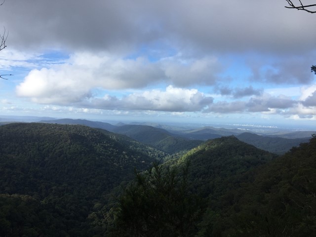
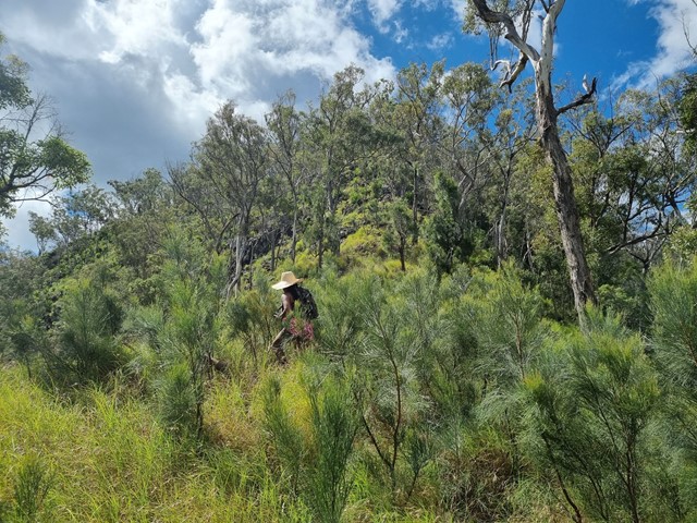
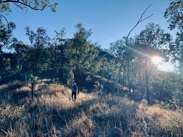
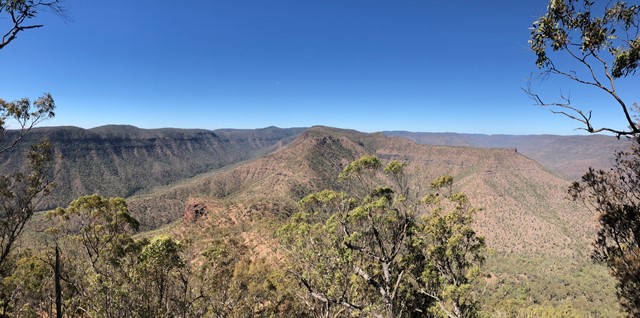
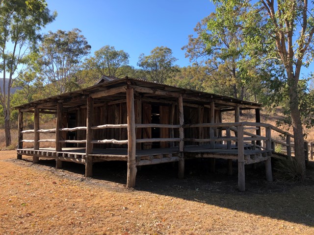
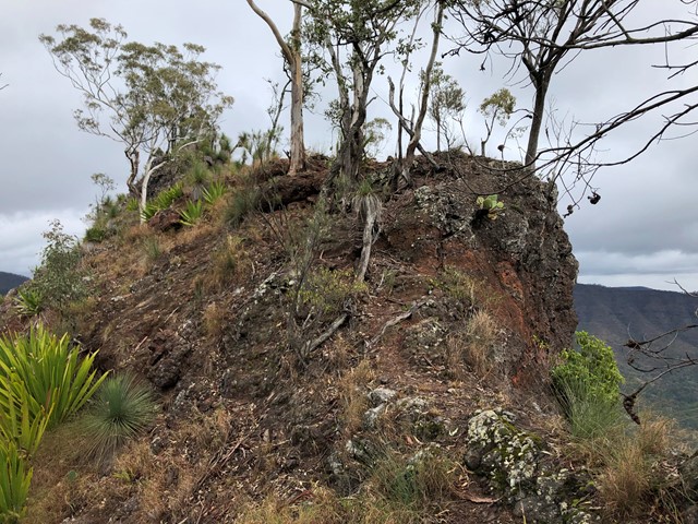
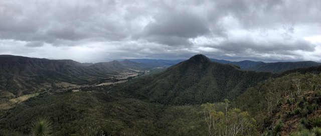
Mt Philp
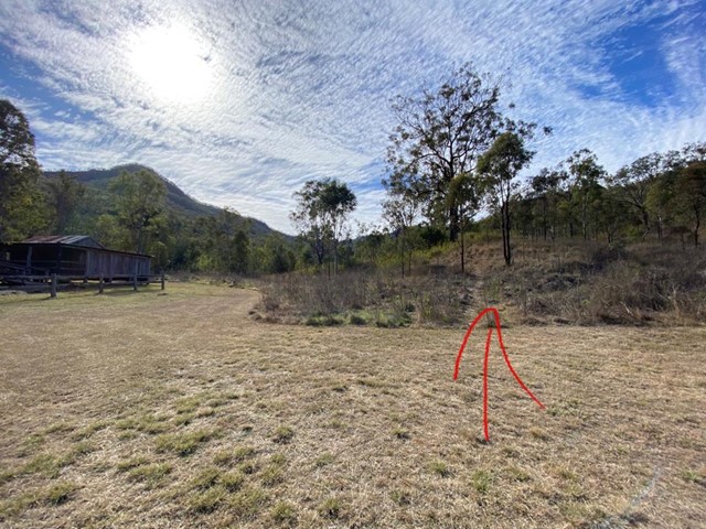
Glen Rock Regional Park
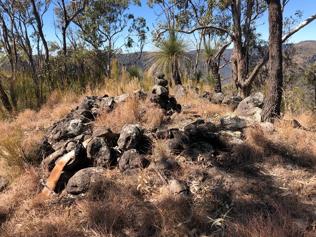
Mt Philp is located in GlenRock Regional Park and sits to the north of the ridge of Glen Rock.
There is no distinct track to the summit so you will have to navigate your way starting from the information shed opposite the day use area.
This climb can be steep in areas and will require some scrambling approaching the summit but you are rewarded with amazing views of Glen Rock and the ridge lines of the sorrounding area.
 5
km
return
3
hrs
5
km
return
3
hrs
Glen Rock
Glen Rock Regional Park
Glen Rock State Forest is situated at the head of Tenthill Valley and adjoins the World Heritage-listed Main Range National Park.
 4
km
return
2
hrs
4
km
return
2
hrs
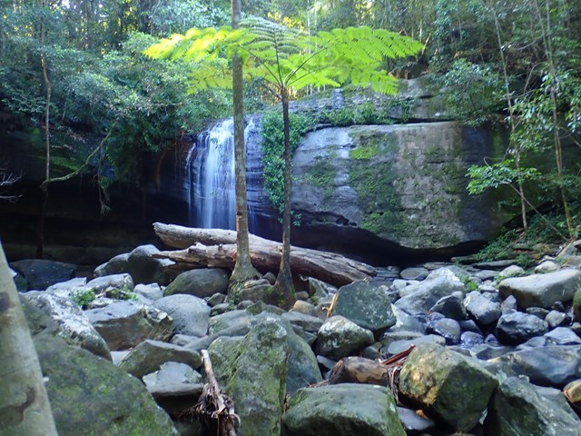
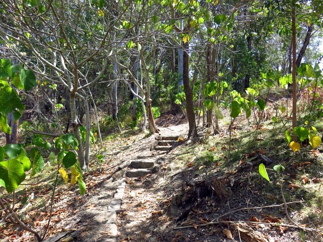
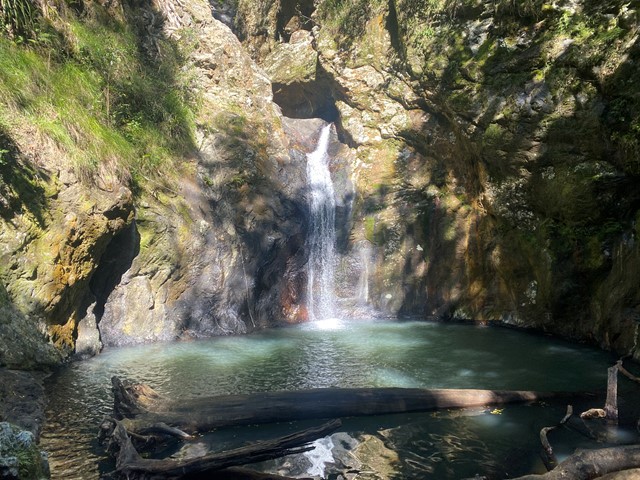
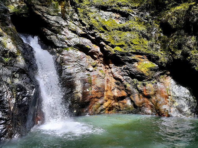
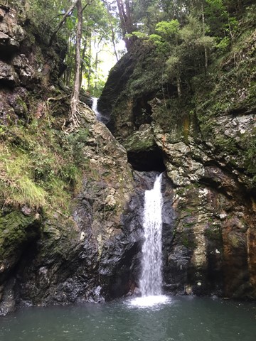
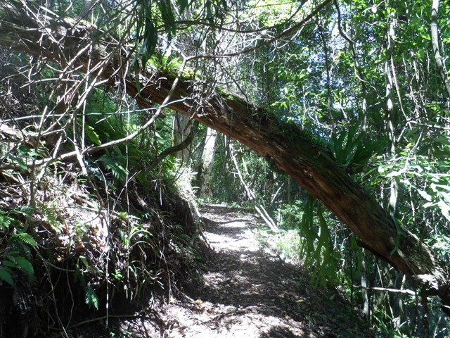
Gorge Falls
Springbrook National Park
Gorge Falls is a 5.6km return walk along the Cream Track, beginning at the end of Tallebudgera Creek Road.
When you reach the cream track signpost that takes you up some man made steps bear left and follow the path to the left to get to the falls. The track seems to disappear a few times but just continue along the edge of the creek and you keep finding it.
 2
km
return
1
hr
2
km
return
1
hr
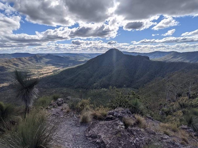
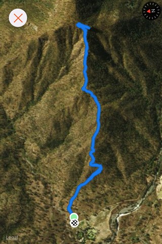
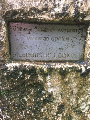
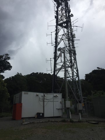
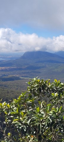
Mount Thillinmam (Bilbroughs Lookout)
Springbrook National Park
A 4wd track through rainforest to Mount Thillinmam (958m). Mount Thillinmam has multiple repeater towers and limited views.
 10.5
km
3
hrs
10.5
km
3
hrs
Mt. Mathieson Circuit
Main Range National Park
This track was built by volunteers in 1986 from the National Parks Assoc of Qld. The mountain is named after the chief commissioner of railways from 1880s to 1912
 6.8
km
return
2.5
hrs
6.8
km
return
2.5
hrs
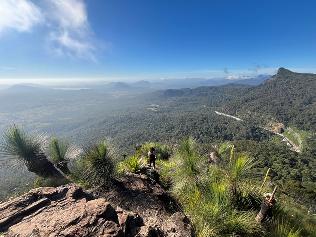
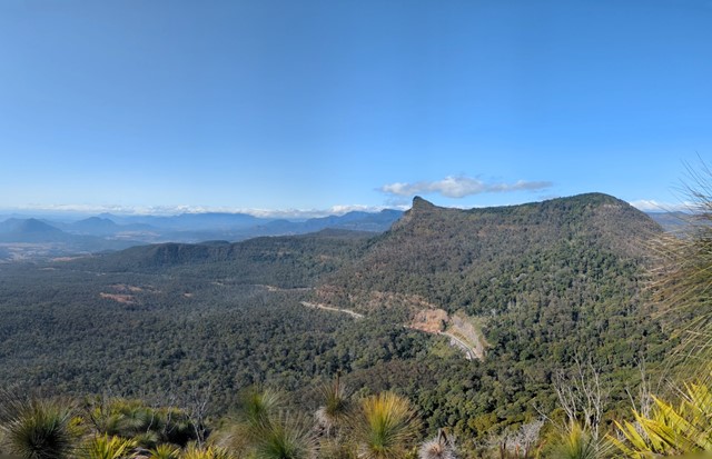
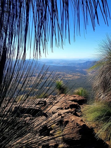
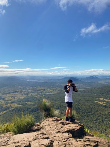
Mt Cordeaux
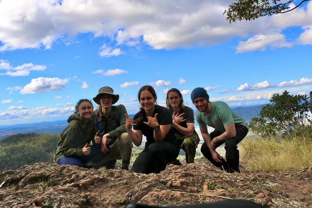
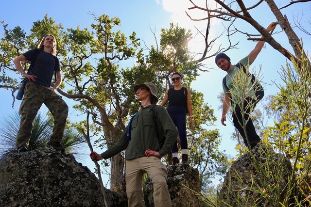
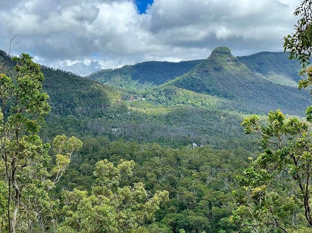
Main Range National Park
Mt Cordeaux forms the Northern side of Cunningham's Gap. The track ends at a platform just below the main peak and is ideal for viewing South, down the length of Main Range National Park. There are also good views of the Moogerah Peaks, Mt Barney and North to the Mistake Mountains.
National Parks signage officially lists this walk as Grade 4 difficulty (most of the track is unsealed, with hazards such as tree roots/rocks, muddy sections and occasional tree-falls across the path). Walkers with a moderate level of fitness should find this a comfortable walk and be able to complete it in under the given timeframe.
 4.4
km
2
hrs
4.4
km
2
hrs
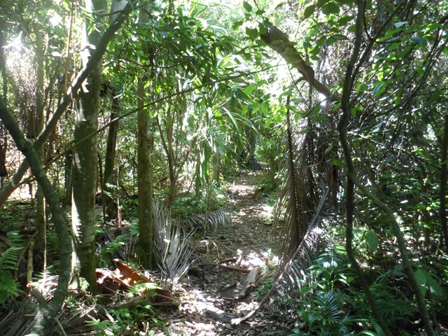
Palm Grove Circuit
Main Range National Park
Branching from the Rainforest Circuit, this walk ends in a one kilometre circuit featuring a dense grove of Piccabeen palms in rainforest and open eucalypt forest. A variety of birdlife can be seen and the track is suitable for all ages.