
Menu
Suggested searches
Your search found 510 results...

 8
km
one-way
8
km
one-way
 2
hrs
2
hrs
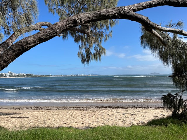
Mooloolaba Beach to Maroochydore (Picnic Point) (SCCP 7)
Sunshine Coast
Coastal walk that is part of the Sunshine Coast Coastal Walk.
 4.6
km
return
90
mins
4.6
km
return
90
mins
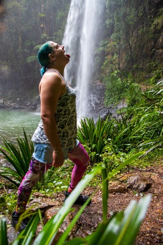
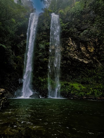
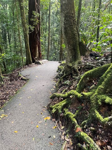
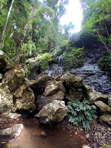
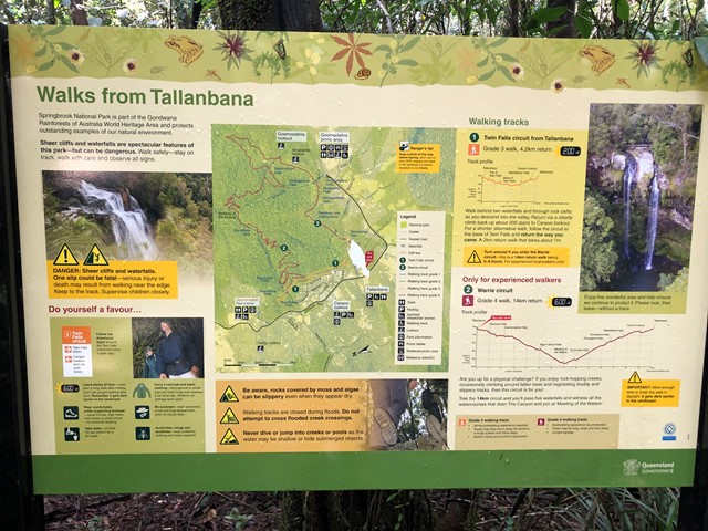
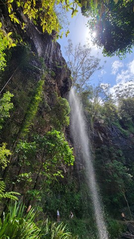
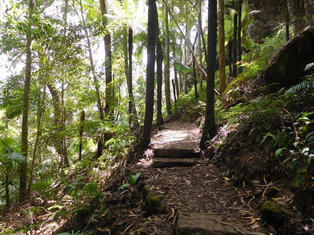
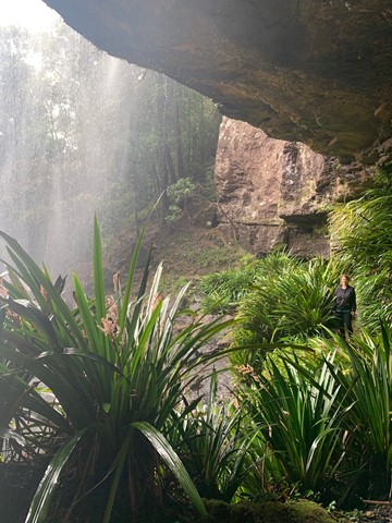
Twin Falls Circuit
Springbrook National Park
A rewarding sheltered walk through rainforest rock clefts and behind the twin falls.
 1.4
km
return
45
mins
1.4
km
return
45
mins
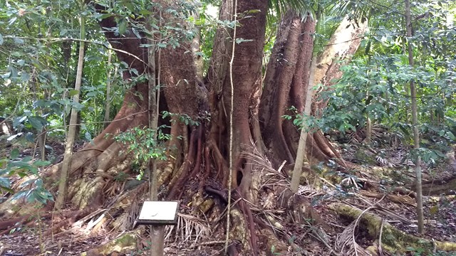
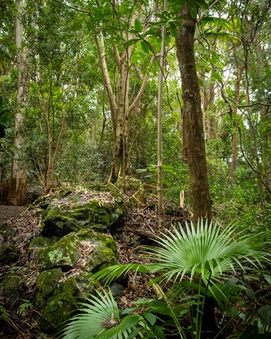
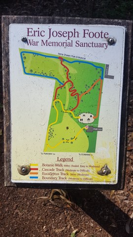
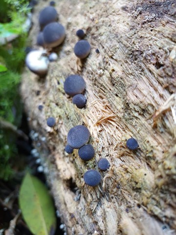
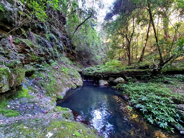
Eric Joseph Foote Sanctuary (Buderim)
Sunshine Coast
The Eric Joseph Foote Sanctuary covers a huge 23 acres site on Buderim's eastern slopes. Once farmland, it has been left to nature and the dedicated volunteer committee to regenerate into a wonderful woodland and a haven for wildlife and includes a creek and cascade.
 6
km
return
4
hrs
6
km
return
4
hrs
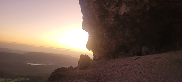
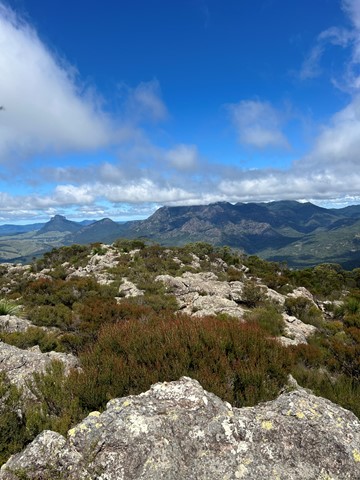
Mt Maroon
Mt Barney National Park
Mt Maroon provides some of the best views in South-East Queensland, with a 360 degree views ranging from Lamington NP through Mt Barney, the length of Main Range and the Moogerah Peaks.
No facilties on site, be sure to bring toilet paper etc.
Bring plenty of water and food/snacks.
 1
km
return
30
mins
1
km
return
30
mins
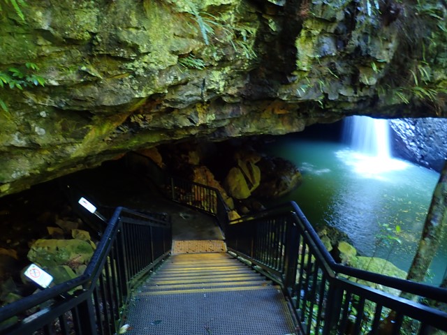
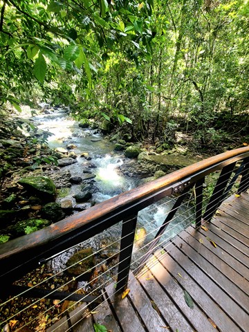
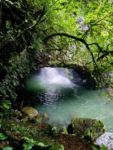
Natural Bridge
Springbrook National Park
A sealed circuit track takes you through the forest, across Cave Creek, and into the arched cave to witness the waterfall plunging from above. At night the cave is illuminated by thousands of glow-worms' tiny green lights. While glow-worms are visible year-round, their display is significantly reduced during the winter months. Interpretive signs along with the circuit highlight the park's special features. The hoop pines Araucaria cunninghamii that emerge through the thick greenery of the surrounding rainforest are living relics of the Jurassic Age—the age of the conifers—about 180 million years ago. These pines are 'living dinosaurs'—they are among the most primitive of conifers.
 1.2
km
return
30
mins
1.2
km
return
30
mins
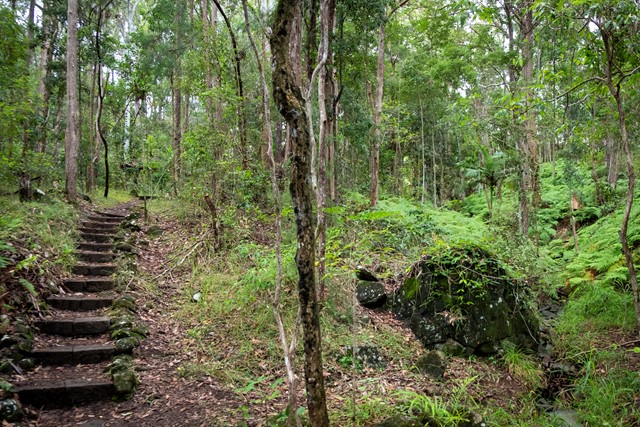
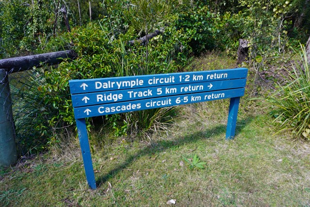
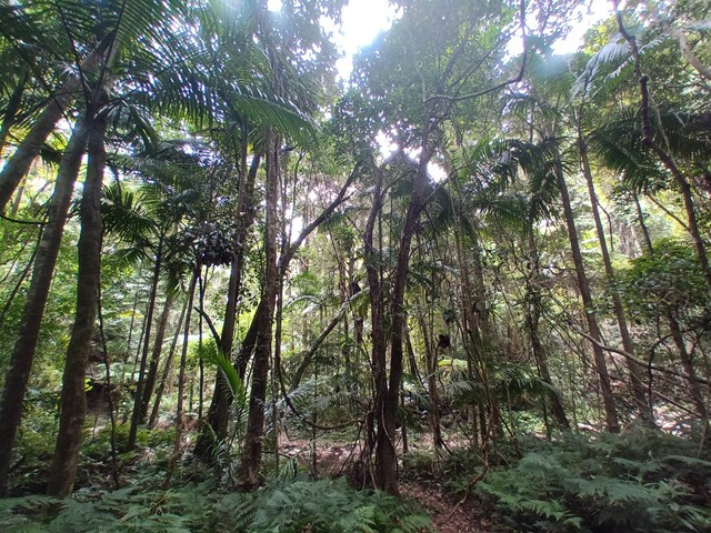
Dalrymple Circuit
Main Range National Park
THIS WALK (SEPTEMBER 2025) IS CURRENTLY CLOSED DUE TO STORM DAMAGED.
A short easy walk from the Manna Gum camping area in the Goomburra section of the Main Range National Park.
 9
km
return
4
hrs
9
km
return
4
hrs
Cascades Circuit
Main Range National Park
THIS TRACK (SEPTEMBER 2025) IS CURRENTLY CLOSED DUE TO STORM DAMAGE.
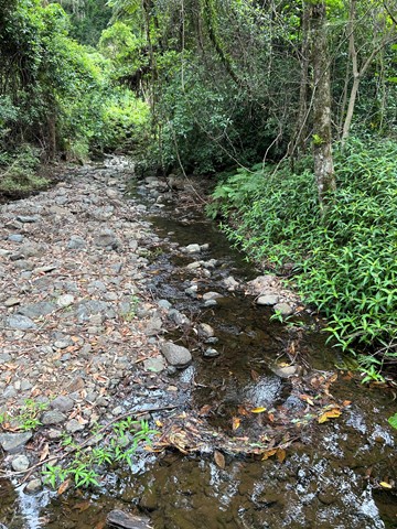
A nice circuit starting off in a eucalypt forest and venturing deeper into the rainforest along the upper reaches of Dalrymple Creek.
Dalrymple is a level 3 track - medium
Cascades is a level 4 track - hard
Easiest way is to complete in clockwise direction and end up on the fire track heading back to the camp ground.
 5
km
return
2.5
hrs
5
km
return
2.5
hrs
Ridge Track
Main Range National Park
This steep circuit that rewards you with views into the Dalrymple Creek valley in the Main Range National Park.
4.4
km
return
90
mins
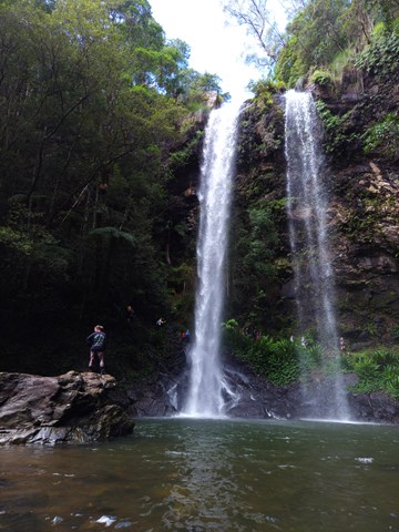
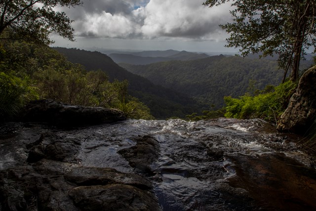
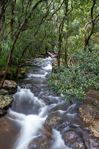
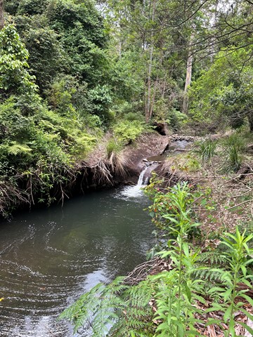
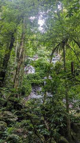
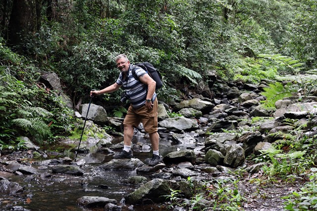
Goomoolahra Falls and Rainbow Falls
Springbrook National Park
No need to complete the full 14 kilometre Warrie circuit, but instead walk 3 kilometres (of the 17 km track) and see at least 3 waterfalls. You are walking along the side of the cliff with sheer drops below and rock faces above.
Very picturesque and one of the nicest walks in Springbrook National Park. Not to be confused with the view of the Goomoolahra Falls from above.
 7
km
return
3
hrs
7
km
return
3
hrs
North Branch Track
Main Range National Park
Commencing opposite the Kurrajong picnic area, this trail follows the north branch of Dalrymple Creek, before ending just inside the rainforest edge.