
Menu
Suggested searches
Your search found 2398 results...

 2
km
return
2
km
return
 45
mins
45
mins
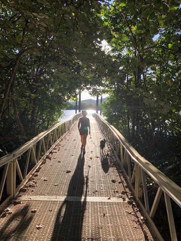
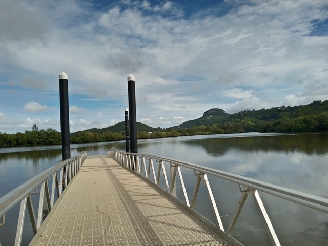
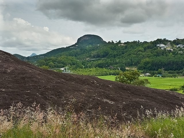
Dunethin Rock and Lake
Sunshine Coast
A beautiful walk along dirt tracks in the bushland. Start from the Scout Camp, river or Dunethin Rock. It's an easy flat walk to Dunethin Lake and along the riverside. If you want a more challenging walk you can walk up the hill to Dunethin Rock and do a circuit back around to where you started. You can drive right up to Dunethin Rock if you don't feel like walking up the hill. There is a great view to My Coolum and Mt Ninderry from Dunethin Rock. There is a great view of Mt Ninderry from the lake and river too. Apparently you can hire canoes from the Scouts there, however, it needs to be pre-arranged. There are a lot of mosquitoes so make sure you use insect repellent.
 1.3
km
return
40
mins
1.3
km
return
40
mins
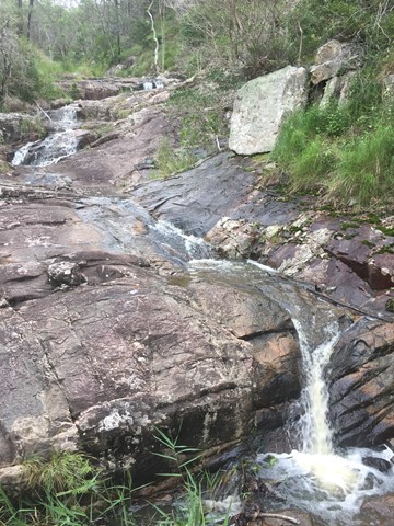
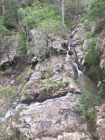
Simpson Falls Track
Mt. Coot-tha
This track begins at Simpson Falls picnic area. It is excellent for wildflower viewing in late winter and spring when the golden wattles and purple hoveas of the open forest understorey burst into bloom. Walkers may catch a glimpse of the city from the Simpson Falls viewing deck.
 400
m
return
30
mins
400
m
return
30
mins
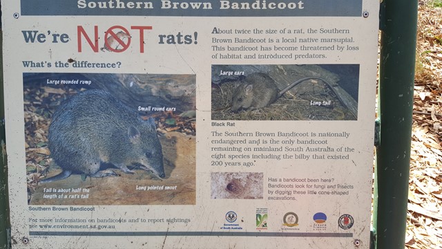
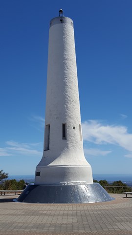
Discovery Walk
Cleland Conservation Park
This short walk, just below the summit of Mount Lofty and Flinders Column, provides fantastic views of Adelaide below and an idea of the habitat here claimed by the local Bandicoots.
 3.5
km
return
2.5
hrs
3.5
km
return
2.5
hrs
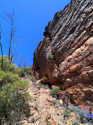
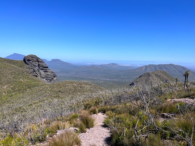
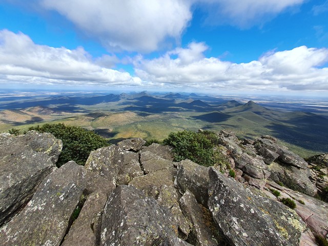
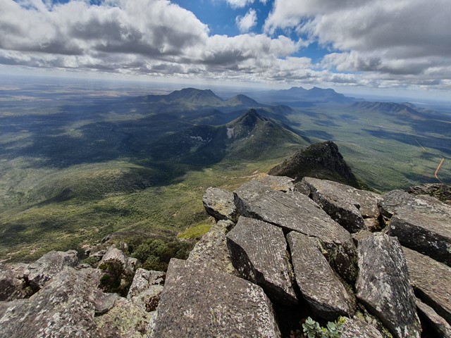
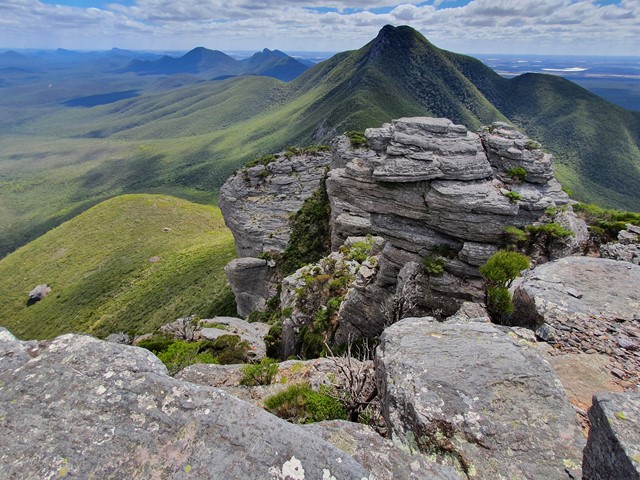
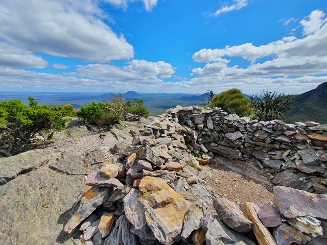
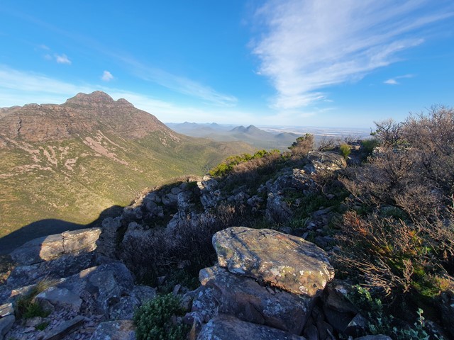
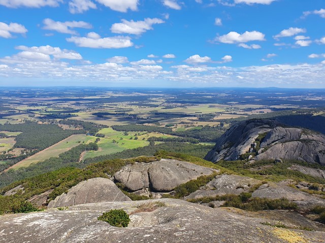
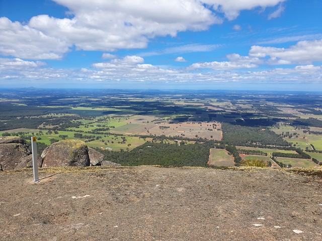
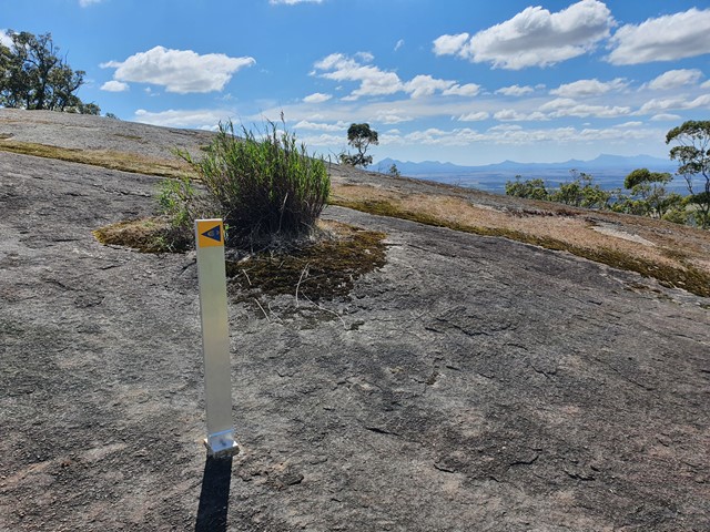
Mt Trio
Stirling Range National Park
The 2nd easiest of the Stirling Range Mountains after Bluff Knoll hosts excellent views and a physically challenging track with lots and lots of steps.
 4
km
return
3
hrs
4
km
return
3
hrs
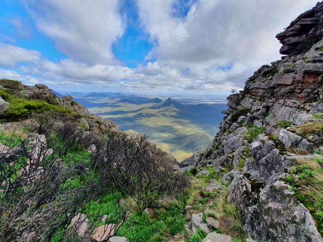
Mt Toolbrunup
Stirling Range National Park
A steep walk/scramble up to the peak of the 2nd highest mountain in the Stirling Range.
 2.6
km
return
2
hrs
2.6
km
return
2
hrs
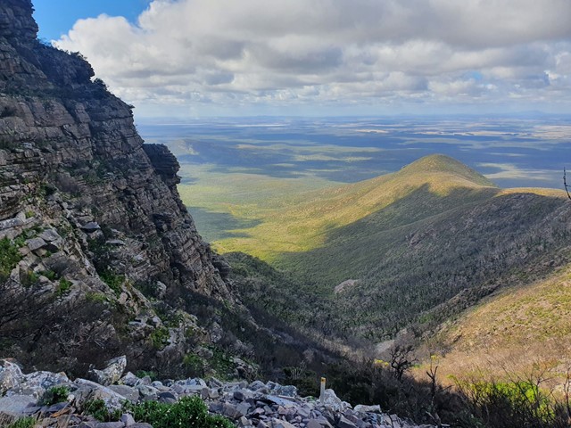
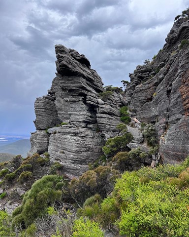
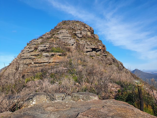
Talyuberlup Peak
Stirling Range National Park
A steep and challenging hike/climb to the top of Talyuberlup Peak which hosts impressive rocky outcrops near the summit and a hole straight through the mountain.
 7
km
return
3
hrs
7
km
return
3
hrs
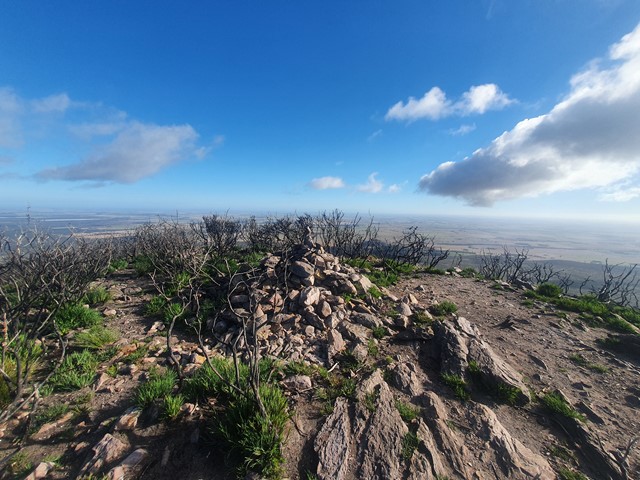
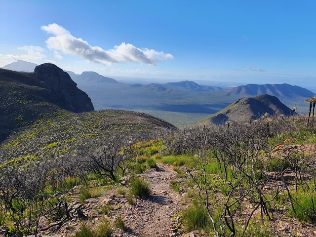
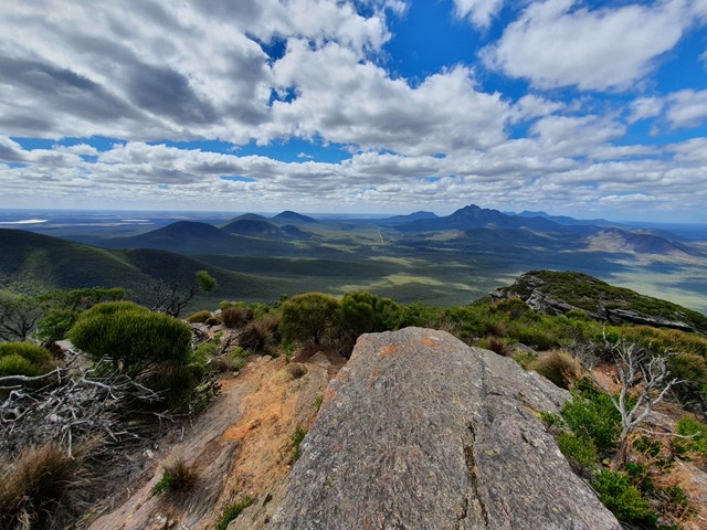
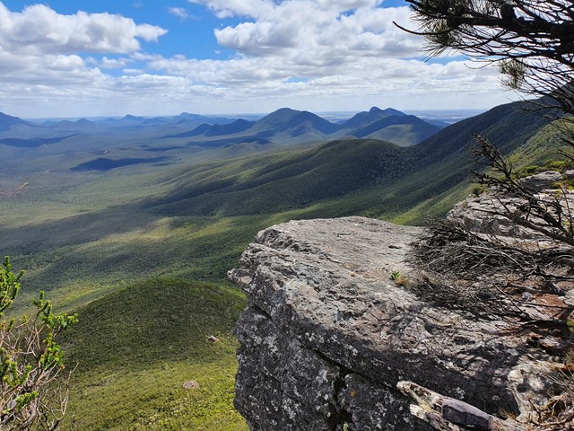
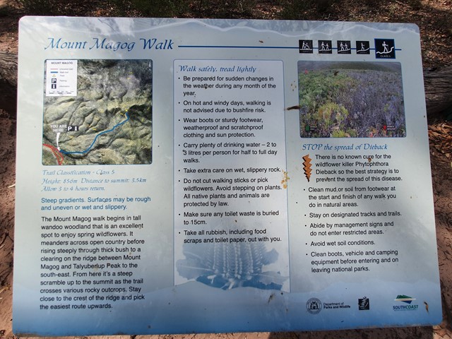
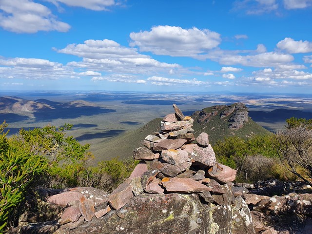
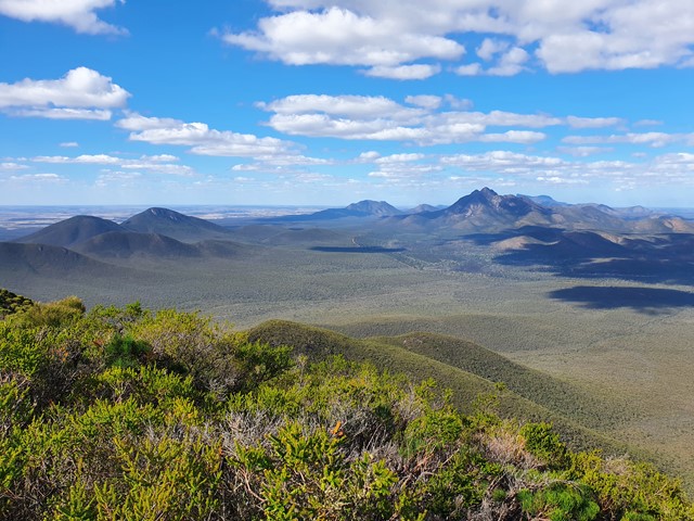
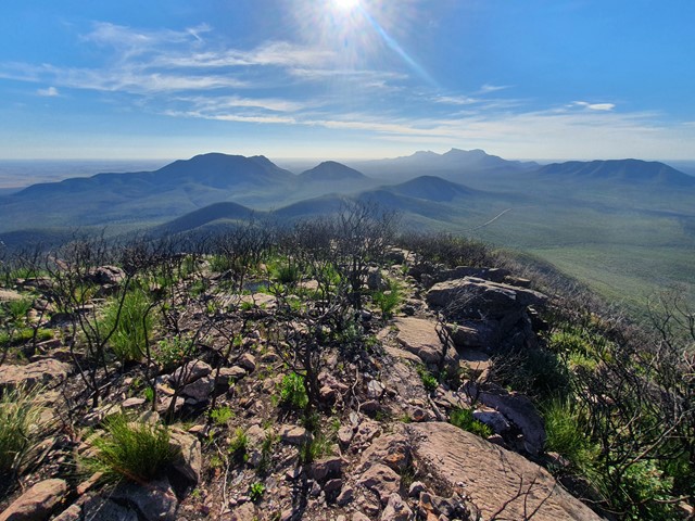
Mt Magog
Stirling Range National Park
One of the lesser climbed peaks of the Stirling Range, Mt Magog features a long undulating walk to the base of the mountain then a steep walk/scramble to the top to get excellent views over the surrounding area and the neighboring Talyuberlup Peak.
 3
km
return
2.5
hrs
3
km
return
2.5
hrs
Mt Hassell
Stirling Range National Park
A short yet steep walk that ascends 430 meters in just 1.5kms and provides excellent views of the neighboring Mt Toolbrunup.
 4.4
km
return
2
hrs
4.4
km
return
2
hrs
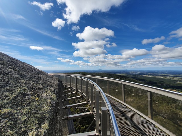
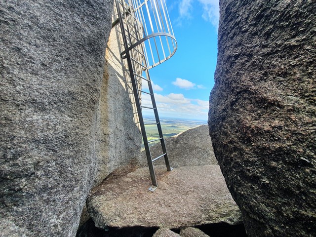
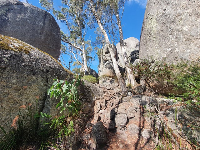
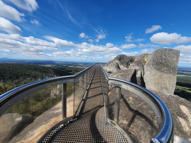
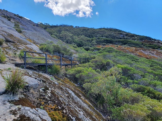
Castle Rock and the Granite Skywalk
Western Australia
A nice steady ascent to Castle Rock followed by a scramble up to the skywalk perched high on the top of the rock formation.
 7
km
return
3
hrs
7
km
return
3
hrs
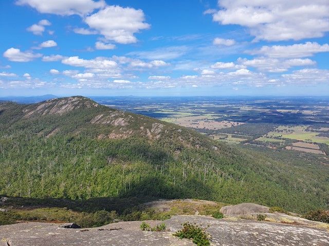
Marmabup Rock Summit via the Devils Slide
Western Australia
A scenic loop that connects Hayward Peak and Nancy Peak with a bonus side trail to Marmabup Rock (the highest point in the Porongurup Ranges) via the Devils Slide track.