
Mt Wagawn
Lamington National Park


Menu
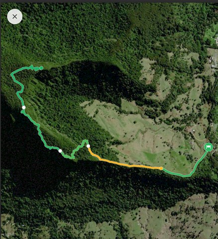
GPS Tracks

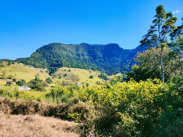

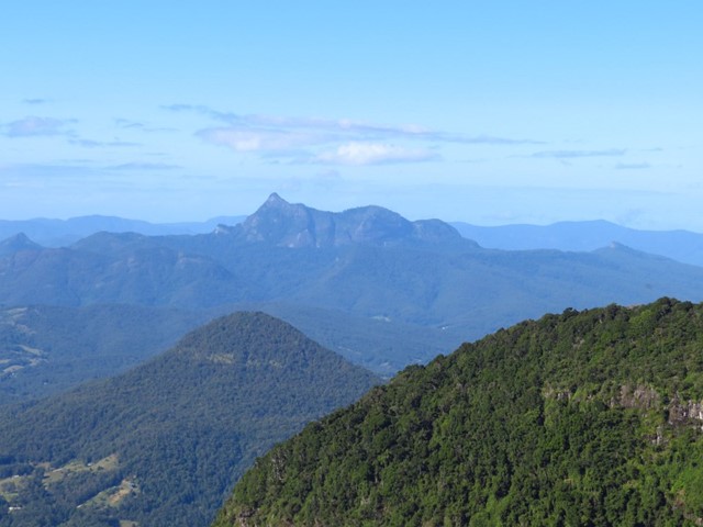
This track also branches off the Mount Hobwee circuit, 2km from the Border Track junction. Garragoolba lookout features uninterrupted views of Springbrook, the Tweed Valley and Mount Warning.
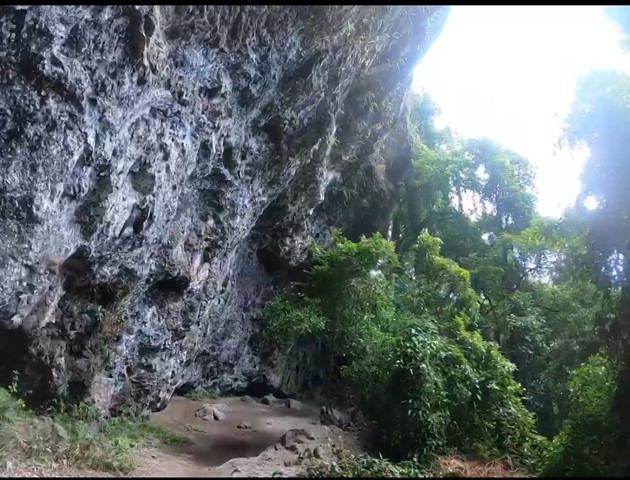
If you approach from the bushrangers caves it is approximately 8km to Mt Wagawn.
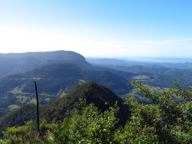
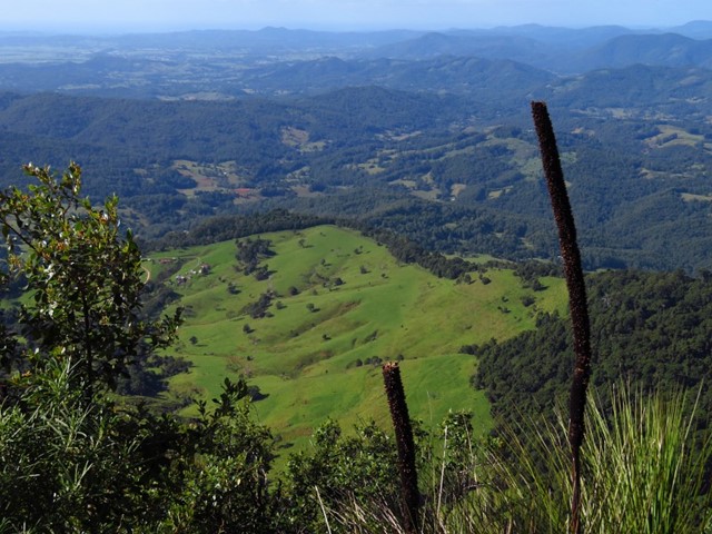
Only after naturally occurring events such as severe wildfires or storms are there uninterrupted views of Springbrook, the Tweed Valley and Mount Warning from Wagawn. In the interim years the view may be interrupted by natural regrowth. Please do not damage or remove vegetation as many of these plants are significant species in the Gondwana Rainforests of Australia World Heritage Area. Remember, all plants are protected by legislation.

Getting there
How do you get to the start of the walk?
Maps
Which maps cover the area?
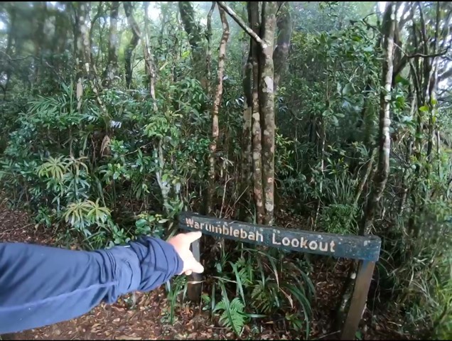
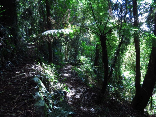
Route/Trail notes
A detailed description of the walk!
Permits/Costs
Nil
Other References
How can I find more info? Any guide books?
 Mt Wagawn (GPX)
 18
18 7
7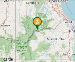
Comments