
Menu
Popular Walks
-
Mt Ngungun
(1156 ticks) -
Mount Coolum
(872 ticks) -
Mt Cordeaux
(668 ticks) -
Twin Falls Circuit
(636 ticks) -
Purling Brook Falls Circuit
(611 ticks)
Summary
The Sunshine State
Queensland has a wealth of bushwalking opportunities including multiple World Heritage Listed rainforests such as the Daintree and Lamington National Park, great coastal and island parks like Fraser Island and Hinchinbrook Island.
Popular Walks
-
Mt Ngungun
(1156 ticks) -
Mount Coolum
(872 ticks) -
Mt Cordeaux
(668 ticks) -
Twin Falls Circuit
(636 ticks) -
Purling Brook Falls Circuit
(611 ticks)
Sub-Regions
Other Information
World Heritage Areas
- Fraser Island
- Gondwana Rainforests of Australia (Lamington NP, Springbrook NP, Mount Chinghee NP, Mount Barney NP, Main Range NP)
- Great Barrier Reef
- Riversleigh
- Wet Tropics (Daintree NP, Barron Gorge NP, Cedar Bay NP, Girringun NP, Wooroonooran NP)
Contact details
Queensland Parks and Forest:
https://parks.des.qld.gov.au/
Regions
The link below provides a region map of QLD as a reference to what council zones are included in the 7 geographic regions of QLD.
https://en.wikipedia.org/wiki/Regions_of_Queensland#/media/File:Qld-regions-map.gif
- Far North Queensland
- North Queesnland
- Central Queensland
- Mackay, Isaac and Whitsunday
- Wide Bay Burnett
- Darling Downs South West
- South East Queensland

 2.5
km
return
2.5
km
return
 1
hr
1
hr
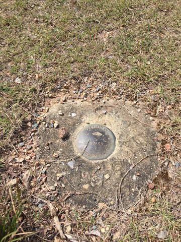
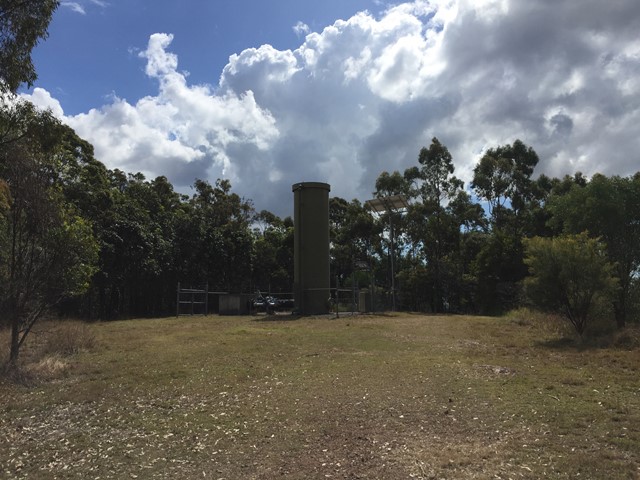
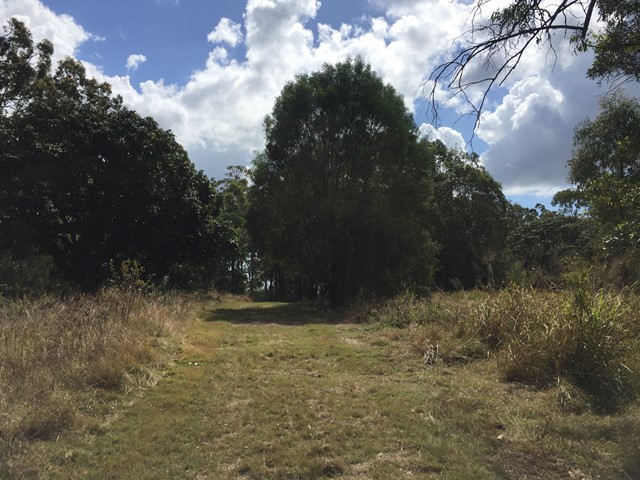
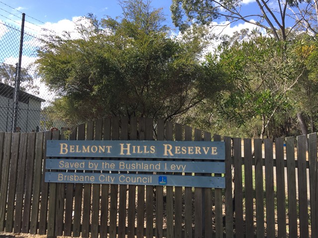
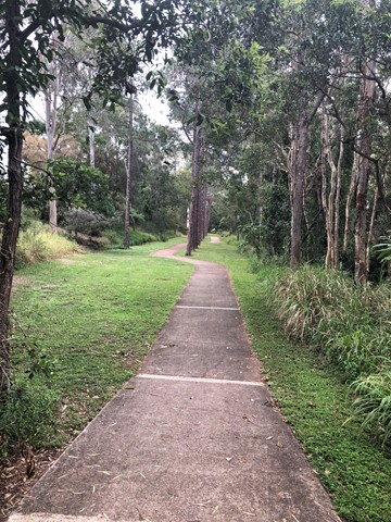
Belmont Hills Reserve
A short walk to the top of Belmont Hill. Journey to the top of the hill has some great views of the city and surrounding suburbs.
Top of the hill has some great places to rest under the tree canopy and have a picnic
 3
km
return
45
mins
3
km
return
45
mins
Beryl Roberts Park
Accessible toilet, barbecue (electric), bikeway network, dog off leash area (Arrunga Street), fitness station (Barham Street), picnic area (Barham Street), playground (Barham Street, Perina Street), public toilet (Barham Street), water (bubbler/tap)
 2
km
return
45
mins
2
km
return
45
mins
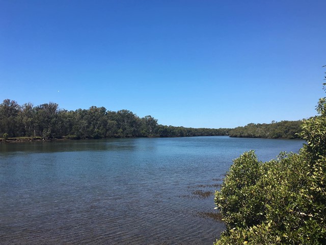
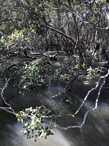
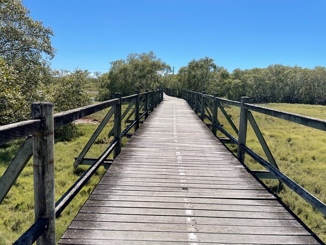
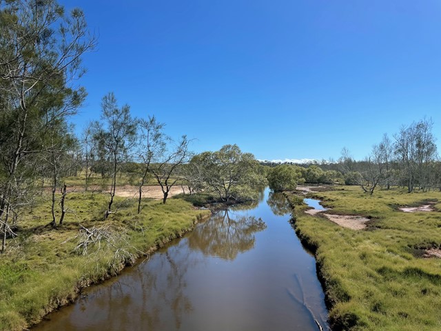
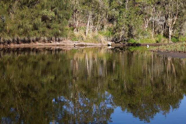
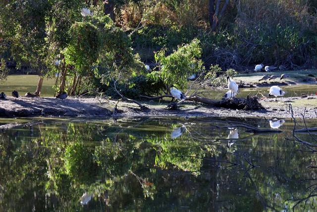
Billai Dhagun Circuit
Billai Dhagun Circuit is part of the Boondall Wetlands, and after rain this walk can get quite wet. It is still quite an easy walk though. The name means 'Place of She-oaks', and you will see plenty of these here. There is a bird hide along the walk so that you can watch the water birds at the opening to Nundah Creek.
 3.4
km
return
1
hr
3.4
km
return
1
hr
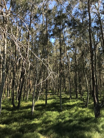
Bloodwood, She-oak, Mahogany and Ironbark Loop (Whites Hill Reserve)
Lovely Aussie scrub bush walk. Keep your eye out for koalas.
 8.4
km
return
8.4
km
return
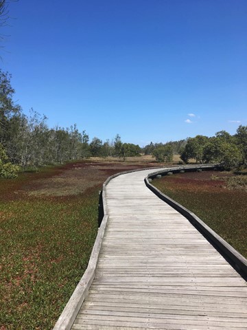
Boondall Wetlands Bikeway
Walking and bike track leading from Boondall Wetlands Environment Centre to Nudgee Road.
 1
km
return
20
mins
1
km
return
20
mins
Bowie Flats Wetlands
Located in the Suburb of Coorparoo there is a little hidden treasure to walk around. Take a look.
Have a look at the Video.
http://www.youtube.com/watch?v=QmQ77iMVHeY
 3.5
km
return
1
hr
3.5
km
return
1
hr
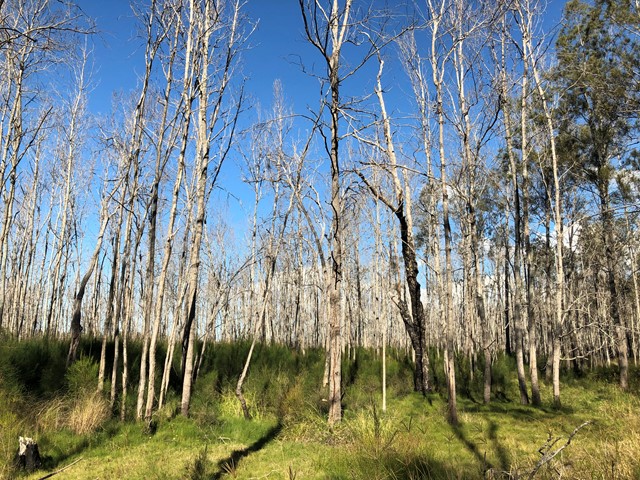
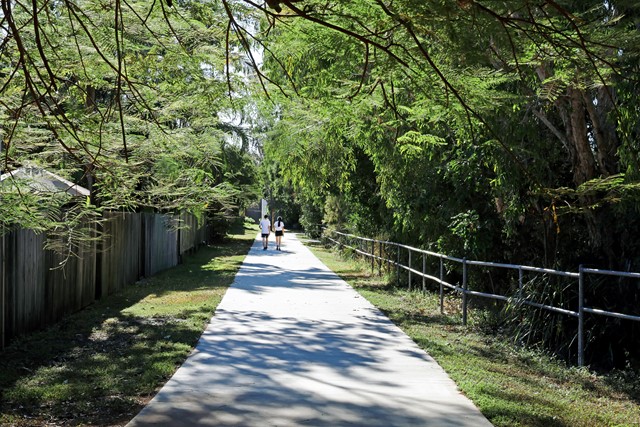
Brisbane Koala Bushlands (Multi Use Trail)
A pleasant walk in bushland that takes about 1 hour. You are likely to have the walk to yourself and see wallabies and various bird species.
 1.4
km
return
30
mins
1.4
km
return
30
mins
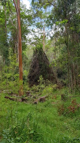
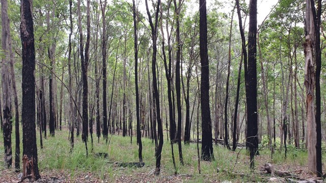
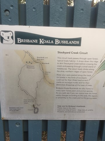
Brisbane Koala Bushlands (Stockyard Creek Walking Trail)
Circuit track through open forest koala habitat. Bitumen/ boardwalk.
 8
km
return
90
mins
8
km
return
90
mins
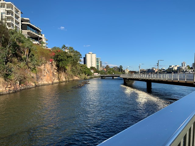
Brisbane River Walk
This is my taken pathway: Fortitude Valley, New Farm, Riverwalk, Kangaroo Point on a sunny hot day! It took me 1.5h equivalent to 10k & 11,000 steps
 6
km
one-way
2
hrs
6
km
one-way
2
hrs
Cabbage Tree Creek Walk (lower creek section)
Follow the Cabbage Tree Creek bikeway through local parks and remnant bush lands. Accessible by public transport. Including the suburbs of McDowall, Bridgeman Downs, Carseldine, Fitzgibbon.