
Menu
Popular Walks
-
Mt Ngungun
(1156 ticks) -
Mount Coolum
(872 ticks) -
Mt Cordeaux
(668 ticks) -
Twin Falls Circuit
(636 ticks) -
Purling Brook Falls Circuit
(611 ticks)
Summary
The Sunshine State
Queensland has a wealth of bushwalking opportunities including multiple World Heritage Listed rainforests such as the Daintree and Lamington National Park, great coastal and island parks like Fraser Island and Hinchinbrook Island.
Popular Walks
-
Mt Ngungun
(1156 ticks) -
Mount Coolum
(872 ticks) -
Mt Cordeaux
(668 ticks) -
Twin Falls Circuit
(636 ticks) -
Purling Brook Falls Circuit
(611 ticks)
Sub-Regions
Other Information
World Heritage Areas
- Fraser Island
- Gondwana Rainforests of Australia (Lamington NP, Springbrook NP, Mount Chinghee NP, Mount Barney NP, Main Range NP)
- Great Barrier Reef
- Riversleigh
- Wet Tropics (Daintree NP, Barron Gorge NP, Cedar Bay NP, Girringun NP, Wooroonooran NP)
Contact details
Queensland Parks and Forest:
https://parks.des.qld.gov.au/
Regions
The link below provides a region map of QLD as a reference to what council zones are included in the 7 geographic regions of QLD.
https://en.wikipedia.org/wiki/Regions_of_Queensland#/media/File:Qld-regions-map.gif
- Far North Queensland
- North Queesnland
- Central Queensland
- Mackay, Isaac and Whitsunday
- Wide Bay Burnett
- Darling Downs South West
- South East Queensland

 4.5
km
one-way
4.5
km
one-way
 90
mins
90
mins
Cabbage Tree Creek Walk (upper creek section)
Follow the Cabbage Tree Creek Bikeway through parks and reserves. Includes parts of Bunyaville, Everton Hills, Arana Hills, Ferny Hills. Accessible by public transport.
 5
km
return
90
mins
5
km
return
90
mins
Cornubia Forest Park - Birdwing - Stupidty Happy - Birdwing
This walk is shared with the brave bike riders. The first half was winding down to the valleys bottom then winding back up to the top.
900
m
return
30
mins
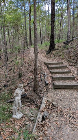
Crebra Circuit
A circuit for walkers only, can be joined behind the Ironbark Gully picnic area. Two bridges to traverse the mostly dry creek. Drinking water and toilets available at the picnic ground.
 770
m
15
mins
770
m
15
mins
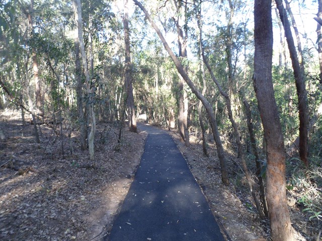
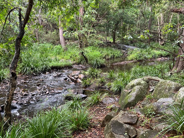
Creek Track
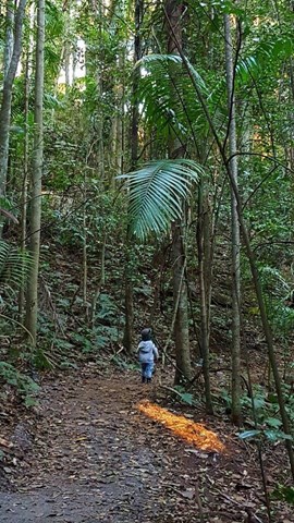
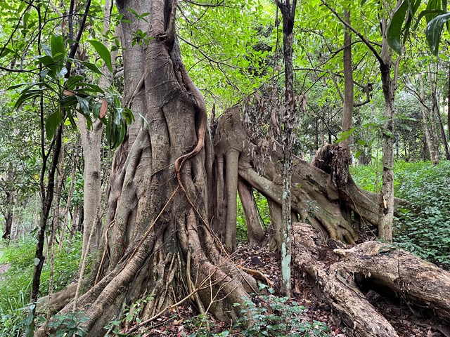
This track leads you to a creek platform that overlooks Downfall Creek. You are likely to see waterhousia and lomandra. Common crow butterflies feed on monkey vine and red ash.
Picnic area available at entrance
Grade: easy
Suited to: bushwalking
Habitat: dry riparian vine forest
Must: spend time at the creek platform listening for birds and watching the creek life
 7
km
one-way
2
hrs
7
km
one-way
2
hrs
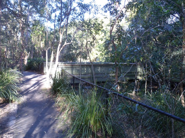
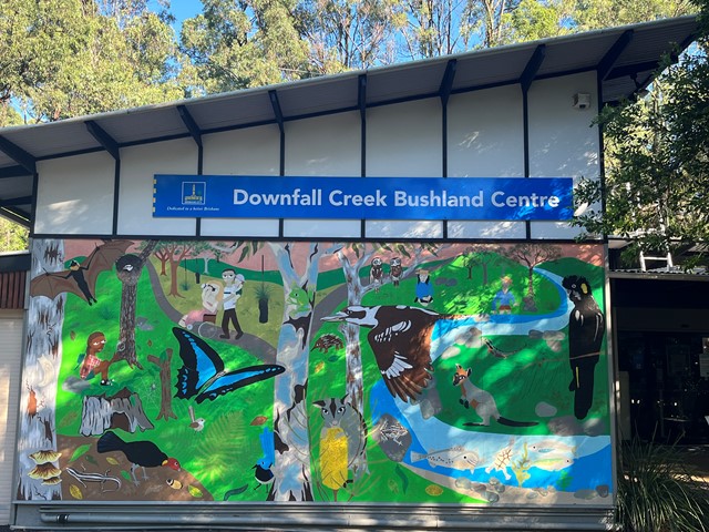
Downfall Creek Walk
Shared path along the creek, from Downfall Creek Bushland Centre to Virginia train station. Don't miss the Huxtable Park Rainforest Boardwalk along the way.
 2
km
return
45
mins
2
km
return
45
mins
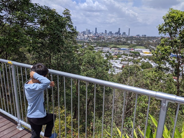
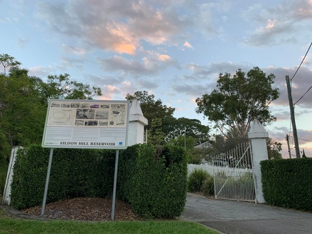
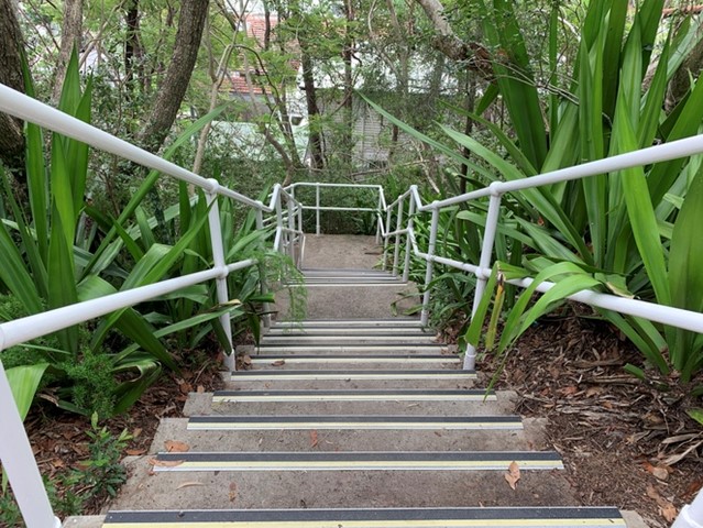
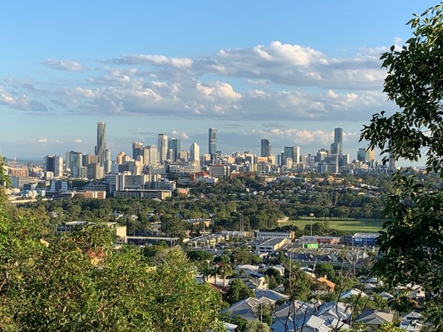
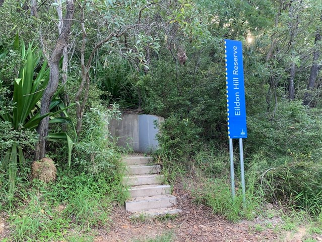
Eildon Hill Reservoir
Eildon Hill Reservoir sits at the summit of Eildon Hill, which is a strategic location for viewing the City, Moreton Bay, the Border Ranges, Cunningham's Gap, Taylor and D'Aguilar Range.
Recently a new lookout has been build as a project to improve the great places in the suburb, make them safer and connect them with the communities, family and friends. There are walking trails on the steep hill of the reservoir, which connect Windsor and Wilston suburbs. The Loop walk is upgraded as well.
https://www.weekendnotes.com/eildon-hill-reserve/192915/
 13
km
one-way
4
hrs
13
km
one-way
4
hrs
Enoggera Creek walk
Walk along the Enoggera Creek from the Enoggera Reservoir to Bowen Bridge, where the creek joins Breakfast Creek and Brisbane River. Crossing the suburbs The Gap, Ashgrove, Newmarket, Herston and many of the local parks. Mostly following the Enoggera Creek Bikeway.
 3.6
km
return
1
hr
3.6
km
return
1
hr
Ferny Grove Rail Trail
Brisbane's Ferny Grove Rail Trail, a 1.8km bush track which connects the Samford Valley foothills to Ferny Grove, may be short and lack romantic trimmings such as old stations and railway bridges, but of all the country's rail trails, it distinguishes itself with an infamous and tragic history.
 1.2
km
return
30
mins
1.2
km
return
30
mins
Fitzgibbon Bushland Walk
Remnant bushland pocket in suburb of Fitzgibbon. Accessible by public transport.
2.5
km
return
45
mins
Forest Lake Shore Walk
Shared path around the man-made, 11 hectare lake, surrounded by parklands and public recreational facilities.