
Menu
Popular Walks
-
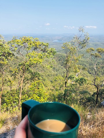
Mt Ngungun
(1155 ticks) -
Mount Coolum
(872 ticks) -
Mt Cordeaux
(668 ticks) -
Twin Falls Circuit
(636 ticks) -
Purling Brook Falls Circuit
(611 ticks)
Summary
The Sunshine State
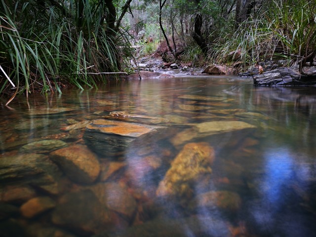
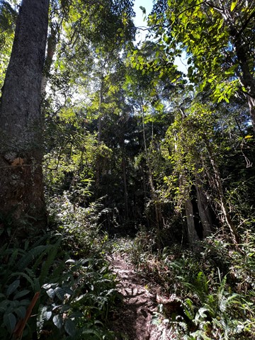
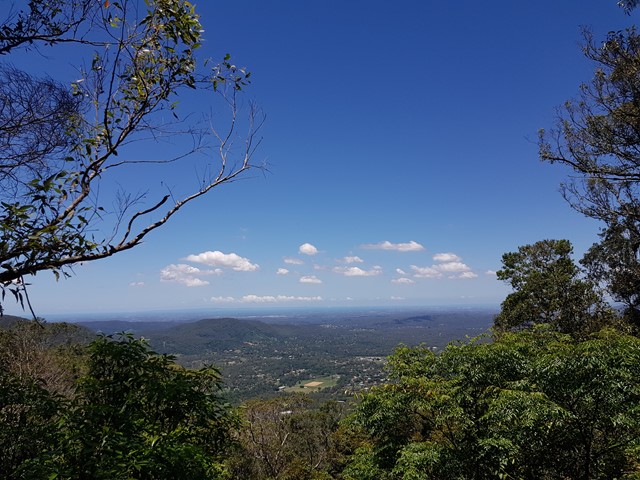
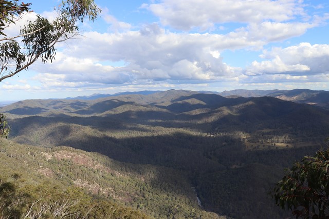
Queensland has a wealth of bushwalking opportunities including multiple World Heritage Listed rainforests such as the Daintree and Lamington National Park, great coastal and island parks like Fraser Island and Hinchinbrook Island.
Popular Walks
-
Mt Ngungun
(1155 ticks) -
Mount Coolum
(872 ticks) -
Mt Cordeaux
(668 ticks) -
Twin Falls Circuit
(636 ticks) -
Purling Brook Falls Circuit
(611 ticks)
Sub-Regions
Other Information
World Heritage Areas
- Fraser Island
- Gondwana Rainforests of Australia (Lamington NP, Springbrook NP, Mount Chinghee NP, Mount Barney NP, Main Range NP)
- Great Barrier Reef
- Riversleigh
- Wet Tropics (Daintree NP, Barron Gorge NP, Cedar Bay NP, Girringun NP, Wooroonooran NP)
Contact details
Queensland Parks and Forest:
https://parks.des.qld.gov.au/
Regions
The link below provides a region map of QLD as a reference to what council zones are included in the 7 geographic regions of QLD.
https://en.wikipedia.org/wiki/Regions_of_Queensland#/media/File:Qld-regions-map.gif
- Far North Queensland
- North Queesnland
- Central Queensland
- Mackay, Isaac and Whitsunday
- Wide Bay Burnett
- Darling Downs South West
- South East Queensland

 3.6
km
3.6
km
 3.5
hrs
3.5
hrs
Light Line bush camp walk
Remote bush camping in open eucalypt woodland surrounded by bloodwoods, grey gums and tallowwoods. The uncommon shrub, Goodenia ovata, shows off its yellow flowers in spring and autumn along the road edge on the walk in.
 9.14
km
return
3
hrs
9.14
km
return
3
hrs
Light Line Rd Kholo to Mermaid Mountain
Amazing walk worth the views. This is the shortest and most direct route to get to the lookout.
1
km
return
30
mins
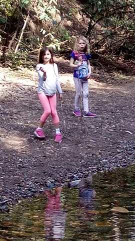
Lophostemon Walk
A short circular stroll following and crossing Neurum Creek.
4.7
km
return
3
hrs
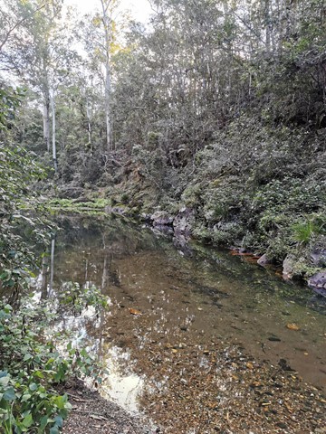
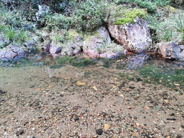
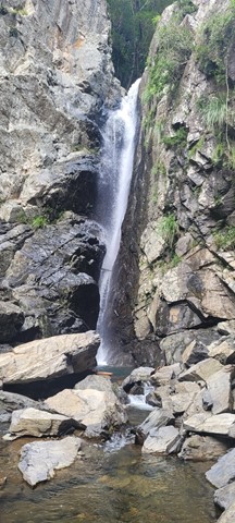
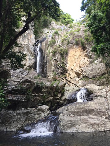
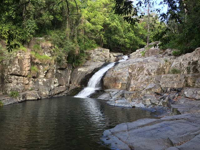
Love Creek Falls
Rock hop up Cedar Creek past Cedar Falls and take the right turn onto Love Creek then follow it to Love Creek Falls.

 18
km
return
5
hrs
18
km
return
5
hrs
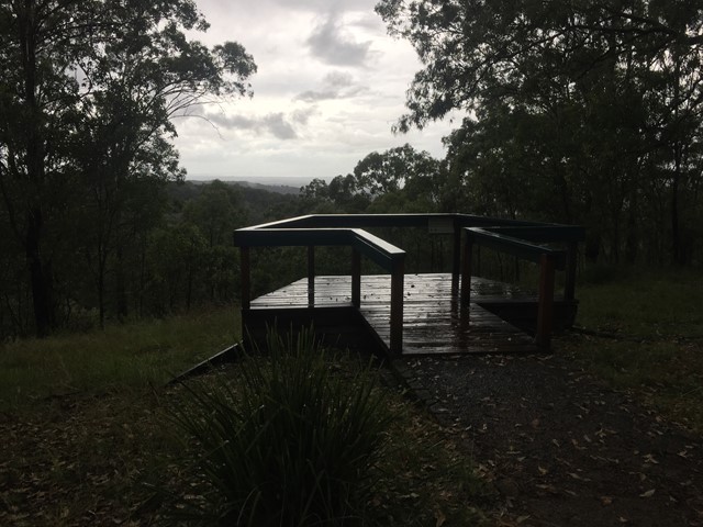
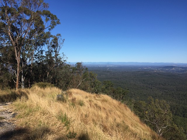
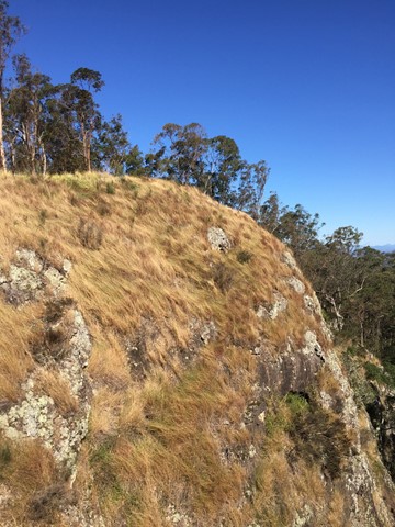
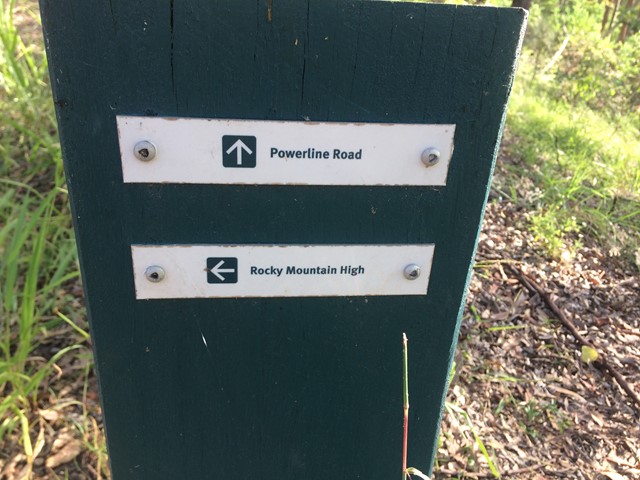
Mermaid Mountain
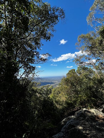
Bush walk from Mt Crosby (town) to Mermaid mountain in Brisbane Forest Park. Lots of uphill tracks and great view of Lake Manchester and surrounding hills from the top.
Entrance for walk from Wirrabara Road, which is off Mount Crosby Road.
Start on the Powerline Road firetrail then turn left onto Rocky Mountain High Break. After about 9kms you will reach the view!
Finally, return to Wirrabara Road via the same path in reverse.
 10
km
4
hrs
10
km
4
hrs
Middle Kobble bush camp walk
Remote bush camping in an open grassy area next to Kobble Creek, in the remote northern section of the park. A short walk takes you to the top of the Kobble Creek waterfall. Keep an eye out for the prehistoric-looking Lepidozamia (cycads) on your walk to the bush camp. Skinks and keelbacks (freshwater snakes) can be seen basking on the rocks at the top of Kobble Creek waterfall. Bottlebrush plants flower along the creek beside the bush camp in spring.
 1.3
km
return
1
hr
1.3
km
return
1
hr
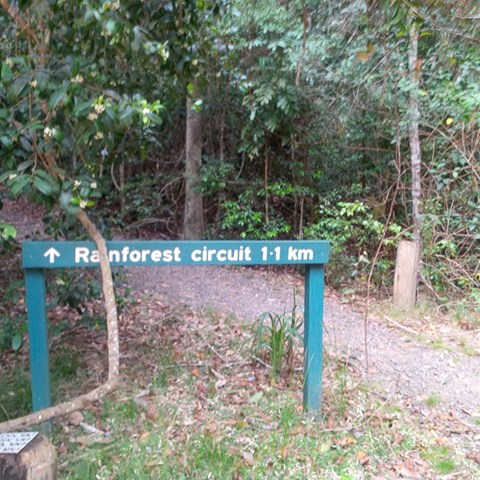
Mill Rainforest Walk
Part of the Mt Mee section of the D'Arguilar National Park.
This subtropical rainforest track provides great opportunities for birdwatching. The track entrance is accessed by a short unsealed formed gravel road
 6
km
return
2
hrs
6
km
return
2
hrs
Morelia Track
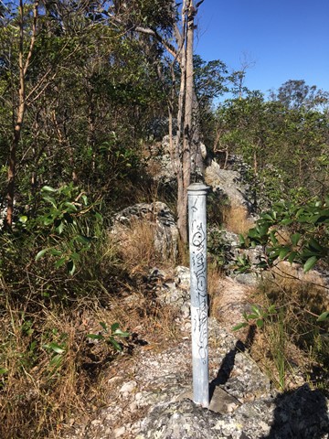
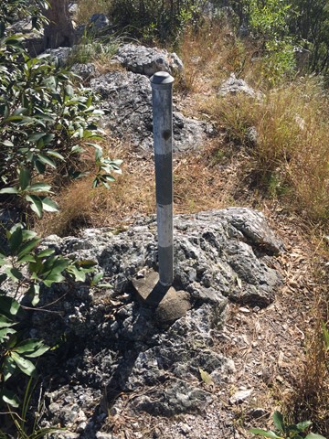
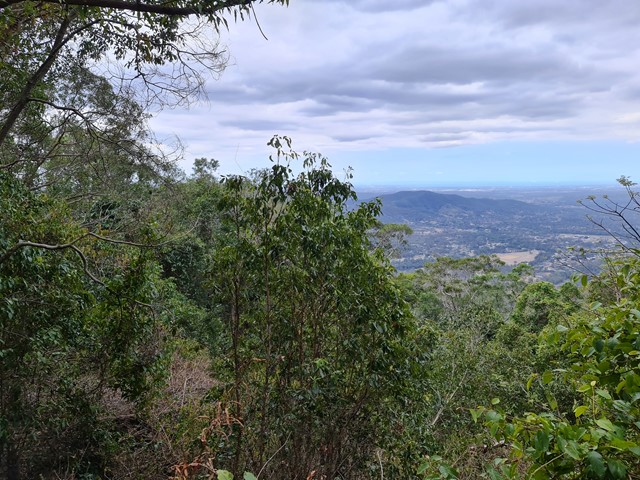
This track takes walkers from the Manorina car park to Mount Nebo lookout. Trek through wet eucalypt forest containing groves of cabbage tree palms, recognised by their huge, fan-shaped leaves. At Mount Nebo lookout, enjoy spectacular views over the Samford Valley to Moreton Bay. The track is well defined and gently-sloping. Keep your eyes peeled for a few of the old track markers with distances marked in miles.
 5
km
return
90
mins
5
km
return
90
mins
Mount Byron
Out and back trail to Mount Byron that can be accessed by 4wd or added onto a walk of the Somerset Trail. Walk is initially along fire trail up and over the summit of Mount Byron before it ends on the far side from there continue along single trail to enjoy views from the cliff line on the Southern side of Mount Byron.