


Menu
Popular Walks
-
Mt Ngungun
(1162 ticks) -
Mount Coolum
(874 ticks) -
Mt Warning Summit Trail
(760 ticks) -
Mt Cordeaux
(669 ticks) -
Twin Falls Circuit
(638 ticks)
Popular Walks
-
Mt Ngungun
(1162 ticks) -
Mount Coolum
(874 ticks) -
Mt Warning Summit Trail
(760 ticks) -
Mt Cordeaux
(669 ticks) -
Twin Falls Circuit
(638 ticks)
Sub-Regions
Walks in South Australia

 5.8
km
return
5.8
km
return
 4
hrs
4
hrs
Gorge Hike
This trail descends from the Sundews Lookout along a contoured walking trail to the bottom of the gorge, and then follows the river downstream for 1.6km before returning via a steep fire track to the ridge and the car park. The walk takes in two perennial waterholes, and a lookout. There are numerous glimpses into the river gorge from various parts of the trail. The 1.6km of trail along the river is not well-formed, and involves some short rock scrambling. Current water levels and recent rainfall can impact on how hard this river section of trail is to follow. The trail is easiest to navigate when walking clockwise, as the fire trail exit is easily spotted, whereas when walking anticlockwise the walking trail exit may be harder to find. Begins from the carpark at Gate 11 on Piggott Range Road (near junction of Upper Penneys Hill Road).
 5.1
km
one-way
90
mins
5.1
km
one-way
90
mins
Hallett Cove Boardwalk (Marion Coastal Walking Trail)
A clifftop boardwalk along the rocky coastline between Marino and Hallett Cove. Experience the unique environment along this section of Adelaide’s coastline, with rugged cliffs and rocky reef platforms. The trail follows the cliff edge, descending down numerous gullies. The trail consists of boardwalk, steps (lots) and pathways. The walk is a good option as a regular route to keep fit, as there are numerous sets of stairs descending and ascending the numerous steep gullies which cut through the cliffs.
73
km
one-way
120
hrs
Heysen Trail South Coast
This 4-5 day highlight section of the Heysen Trail along the south coast is spectacular, with good campsites along the way for multi-day hikers. This highlight section starts from the southern trailhead of the Heysen Trail at Cape Jervis, following the coast to Victor Harbor. Before Victor Harbor the main Heysen Trail heads north for 1,200km to the Flinders Ranges, but a good spur trail continues into central Victor Harbor.
3.3
km
return
1
hr
Kaiki Walk, Granite Island Circuit
The 1.9km walk around Granite Island is a great way for people, including families with children and strollers, to discover the island. Begin the walk in Victor Harbor, by crossing the causeway. Horse drawn trams operate across the causeway, providing a new experience for children. The trailhead is on the island, just after the causeway reaches the island. Discover more about the wildlife, geology and history of the island with the interpretive signs along the trail. Explore granite boulders including Umbrella Rock, and take in the views of Encounter Bay, the Bluff, islands and whales. Return at night time to see the Little Penguins, or visit the Penguin Interpretive Centre during the day. Causeway 700 metres one way Kaiki Walk 1.9km loop For parents with prams we suggest walking anti-clockwise, which is to turn sharp right after leaving the the causeway. There is a long flight of steps at the other end of the trail, but this is easily avoided by taking the shortcut gravel ramped path from the top of the island. There are no other steps on the circuit trail. The trail may be too steep for some people using prams and it may be easier to return via the way you came. The causeway and road to the kiosk is accessible to people using wheelchairs and prams.
5.3
km
return
Lobethal Bushland Park - Purple Trail
The purple trail is the longest walk in Lobethal Bushland Park and parses both the lower and upper dams. The walk is scattered with gums showing signs of regrowth after bushfires in 2020. This walk is a good way to see all the park has to offer. The purple trail has an optional extension which ads approximately 1km to the journey. This extension is included in the measurements and maps provided.
2.9
km
return
90
mins
Mount Schank
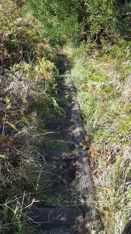
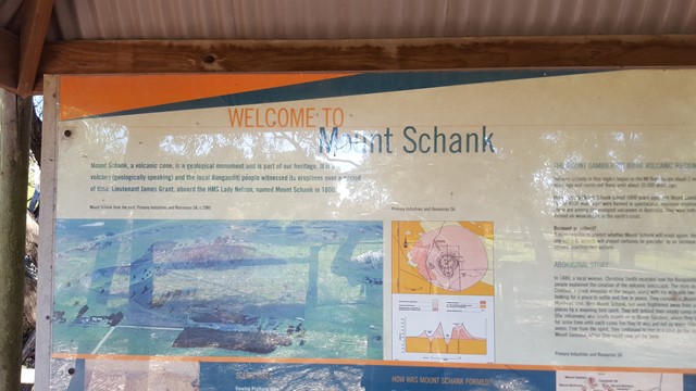
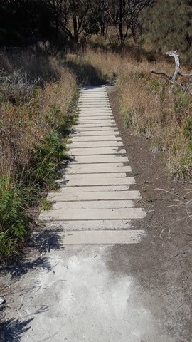
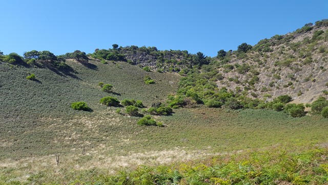
Your chance to enter the centre of Mount Schank, the youngest volcano in Australia (5,000 years old) and now a 100m high dormant volcano, with a basic ash cone and base that does not extend below the water table, so there is no crater lake.


Mt Woodroffe
The tallest mountain in South Australia. Deep in the remote outback, but on APY lands so permit required. Diversetravel run an annual tour in May. No marked track, spinifex and remoteness make this a challenge.
 10.4
km
one-way
2
hrs
10.4
km
one-way
2
hrs
Oyster Walk
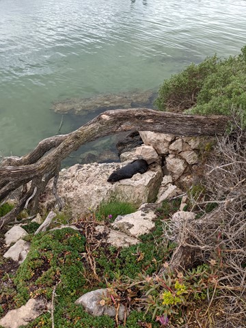
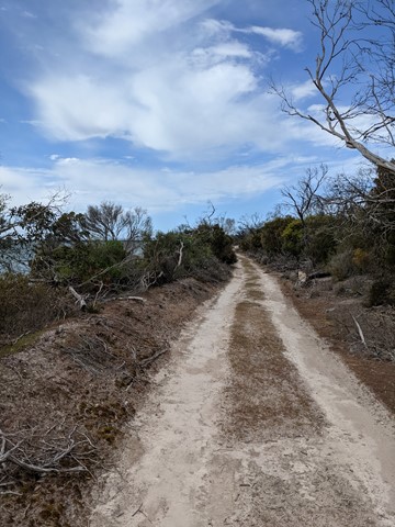
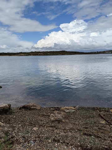
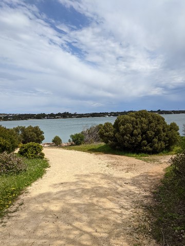
A 10.4km walk along the coast line at Coffin Bay, Ayre Peninsula. It is a good way to explore the township and area. A pleasant, easy walk with some special views around each corner. It can be done in sections and so the length is your own choosing.
 2.5
km
return
1.5
mins
2.5
km
return
1.5
mins
Plateau Hike
This hike begins along Fourth Creek and then ascends above the valley floor to Giants Cave. Enjoy the stunning views of Morialta Gorge from the Kookaburra Rock Lookout, the top of First Falls and Eagles Nest Lookout.
 2
km
return
1
hr
2
km
return
1
hr
Punchbowl Lookout Walk
A new trail opened in Spring 2017 as part of the Government of South Australia’s $10 million upgrade of the Adelaide’s national parks. The 1km (2km return) trail visits a new lookout above The Punchbowl, where you can see spectacular views into the Onkaparinga Gorge. The trail is a consistent one metre wide and made of compacted gravel, and with gentle contoured gradients, so as such is suitable suitable for people of all abilities, including those with mobility access issues, wheelchairs and prams. There is some seating mid-way along the trail. Some people using wheelchairs may require assistance on the way back up the trail to the car park. The Hike begins from the new carpark constructed in 2017, between gates 8 and 9 on Piggott Range Road. There are toilets at the nearby Sundews Carpark, near Gate 11 on Piggott Range Road.