
Menu
Popular Walks
-
Mt Ngungun
(1145 ticks) -
Mount Coolum
(864 ticks) -
Mt Warning Summit Trail
(759 ticks) -
Mt Cordeaux
(659 ticks) -
Twin Falls Circuit
(630 ticks)
Popular Walks
-
Mt Ngungun
(1145 ticks) -
Mount Coolum
(864 ticks) -
Mt Warning Summit Trail
(759 ticks) -
Mt Cordeaux
(659 ticks) -
Twin Falls Circuit
(630 ticks)
Sub-Regions
Walks in South Island NZ
(New Zealand, Overseas)
 4.7
km
return
4.7
km
return
 105
mins
105
mins
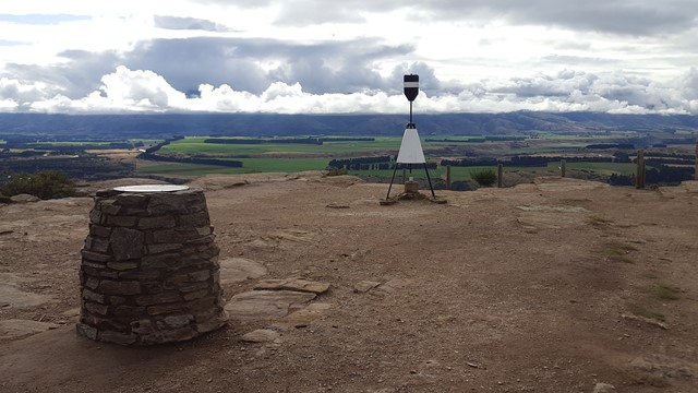
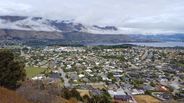
Mount Iron Loop
Mount Iron is an impressive, glacier-carved, 240-metre rocky knoll. From its summit a great panorama unfolds: Lakes Wanaka and Hawea, Pisa Range, the Cardrona and Upper Clutha Basin and all the surrounding peaks of the Southern Alps; many of them in Mount Aspiring National Park in the west.
 8.3
km
return
2.5
hrs
8.3
km
return
2.5
hrs
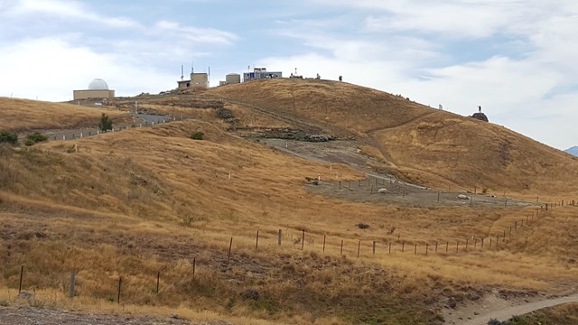
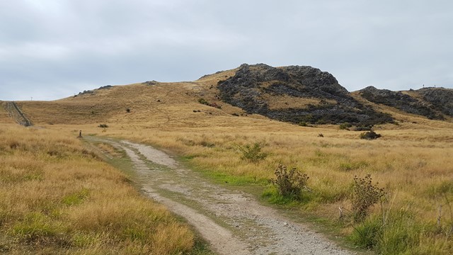
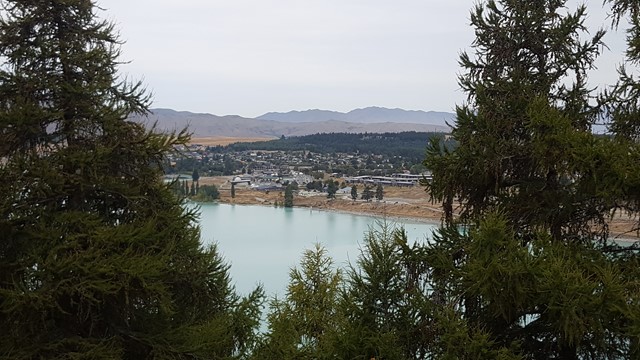
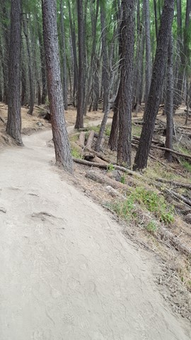
Mount John
This track rises steadily up through exotic forest and then open tussock hill slopes to a viewing area with a 360° panorama of the surrounding mountains of the Southern Alps, various lakes and the Mackenzie Basin flats, before heading across the mountain below the Observatory and down the far side and back along the shoreline of Lake Tekapo.
 3.4
km
one-way
2
hrs
3.4
km
one-way
2
hrs
Mt Cargill, Buttars Peak, Mt Holmes & the Organ Pipes
A oneway track as the walk can be done as a through walk / point to point but if doing as return then tick the walk twice and it will be ~6.6kms. From the carpark ascend to the organ pipes formation which you can scale to reach the summit of Mt Holmes then continue to Buttars Peak which is best ascended from the saddle between it and Mt Cargill. Finally summit Mt Cargill to finish your walk if you are doing it return then congratulations you have reached half way although the vast majority of the uphill will be done.
 2.3
km
return
1
hr
2.3
km
return
1
hr
Oamaru Lookout Point Walk
A short loop out on Cape Wanbrow with access down to the beach and old fortification buildings. Watchout for mountain bikes on the mountain bike trails at track junctions.
2
km
return
30
mins
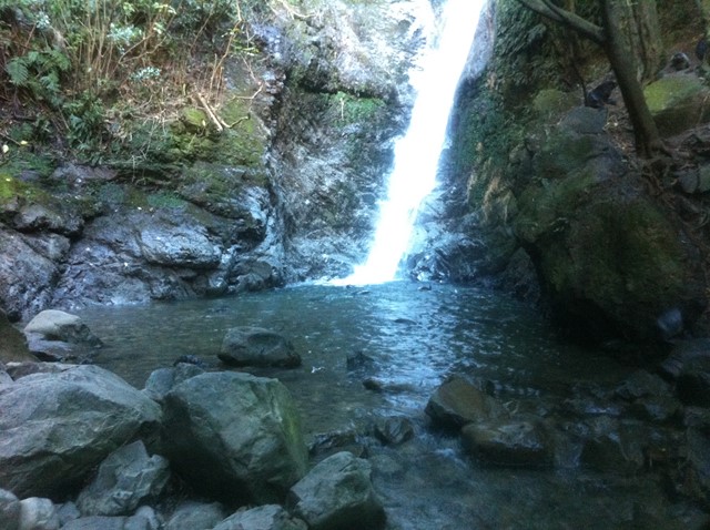
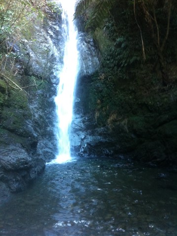
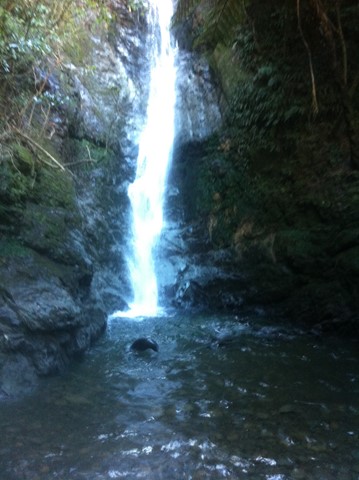
Ohau Stream and Waterfall
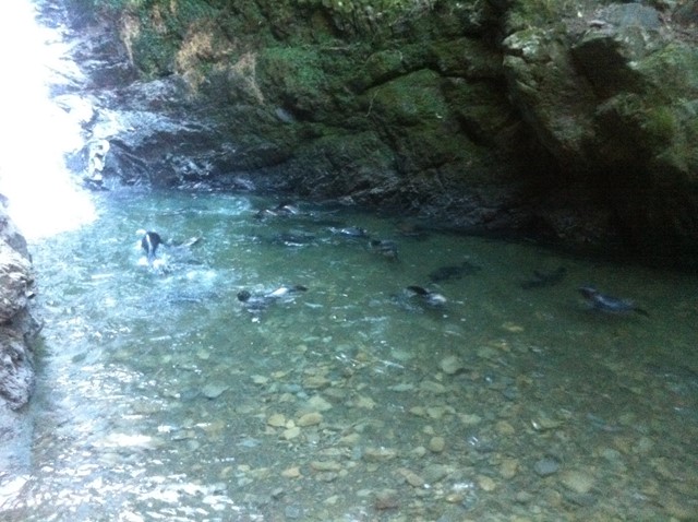
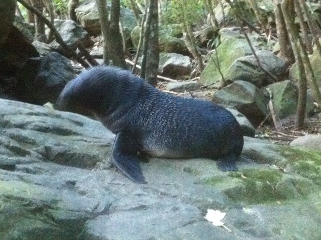
A stream and waterfall seal pups come to play in at certain times of the year.
Ohau Point Seal Colony, Kaikoura
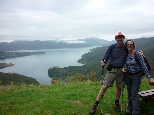
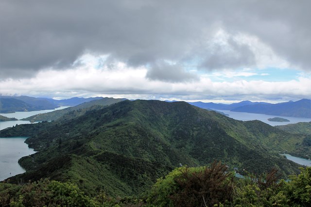
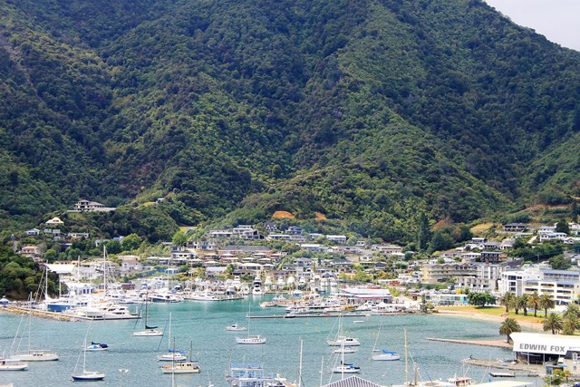
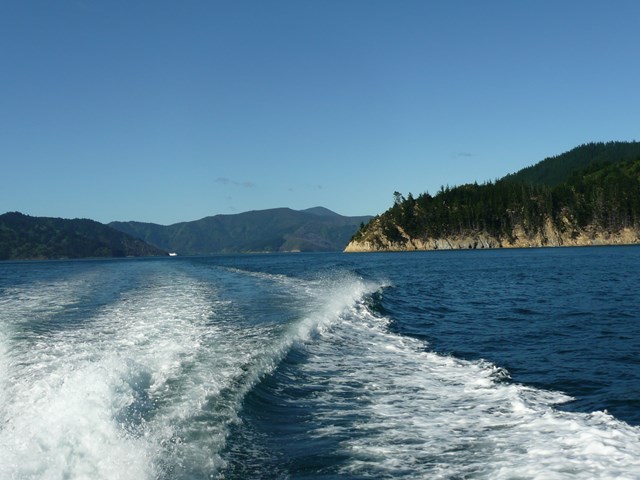
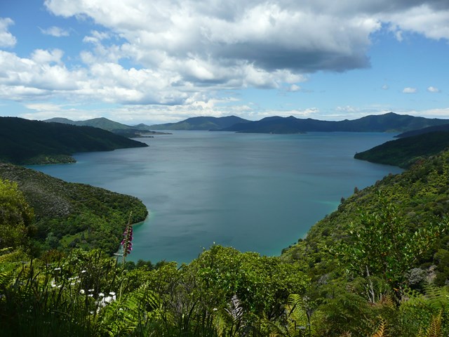
Queen Charlotte Track
Choice of multiple days or day walks in the Marlborough Region, South Island. The town of Picton is a good base to prepare or start of your adventure. You can decide to combine your walk with: a drop off and pick-up by water taxi, a mountain bike, a sea kayak or simply walk. Stunning scenery on both sides from the Queen Charlotte Sound and Kenepuru Sound. Walking on good track with some challenging climbs and sections.
 3.1
km
return
20
mins
3.1
km
return
20
mins
Queenstown Gardens Foreshore Walk
A short walk around the Queenstown Foreshore.
6.2
km
return
2
hrs
Queenstown Hill Walkway
From the edge of Queenstown follow the Queenstown Hill Time Walk trail up through the forest past information boards and a statue to this popular viewpoint over Queenstown.
10.4
km
return
3.5
hrs
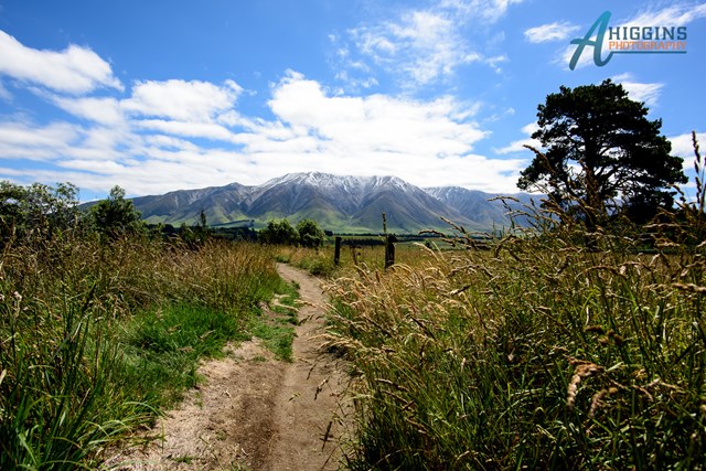
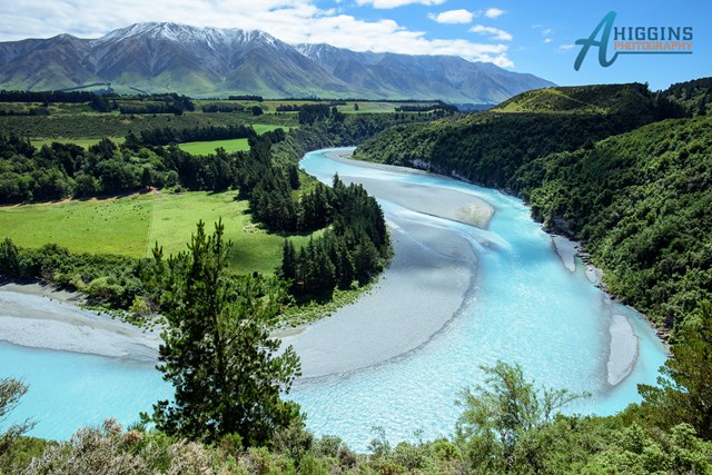
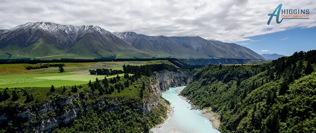
Rakaia Gorge Walkway
The walkway follows the rim of the gorge providing views of the Rakaia River and Mt Hutt. Along the way there are a number of historical points of interest.
 10
km
return
5
hrs
10
km
return
5
hrs
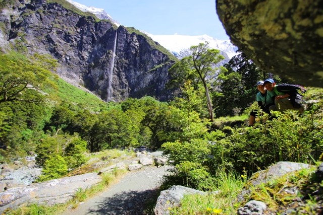
Rob Roy Glacier
http://www.doc.govt.nz/parks-and-recreation/places-to-go/otago/places/mount-aspiring-national-park/things-to-do/rob-roy-track/