
Menu
Popular Walks
-
Mt Ngungun
(1139 ticks) -
Mount Coolum
(858 ticks) -
Mt Warning Summit Trail
(758 ticks) -
Mt Cordeaux
(655 ticks) -
Twin Falls Circuit
(625 ticks)
Popular Walks
-
Mt Ngungun
(1139 ticks) -
Mount Coolum
(858 ticks) -
Mt Warning Summit Trail
(758 ticks) -
Mt Cordeaux
(655 ticks) -
Twin Falls Circuit
(625 ticks)
Sub-Regions
Walks in Melbourne City Walks
(Victoria)
 4.6
km
return
4.6
km
return
 90
mins
90
mins
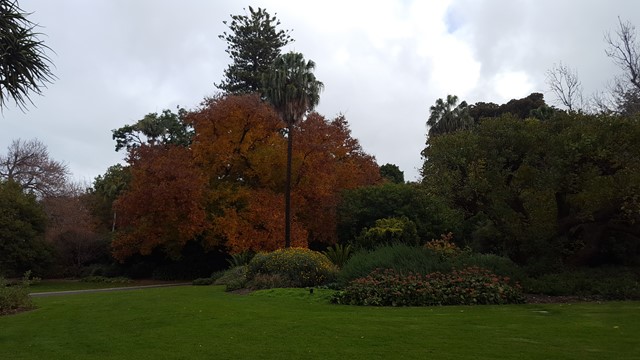
Royal Botanic Gardens
Numerous looping pathways through the gardens, starting from the Visitor Centre with a range of ornamental ponds and lakes, garden, plant and tree collections.
Walks in Mt Buffalo National Park
(Victoria) 2
km
return
1
hr
2
km
return
1
hr
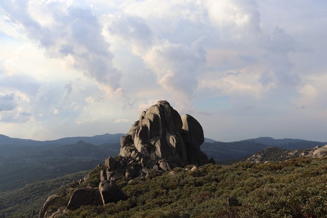
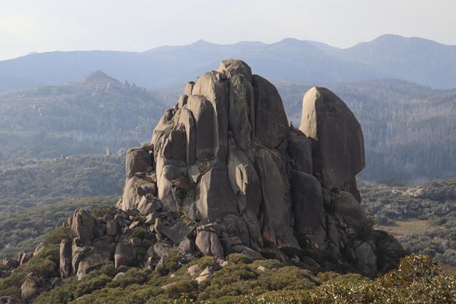
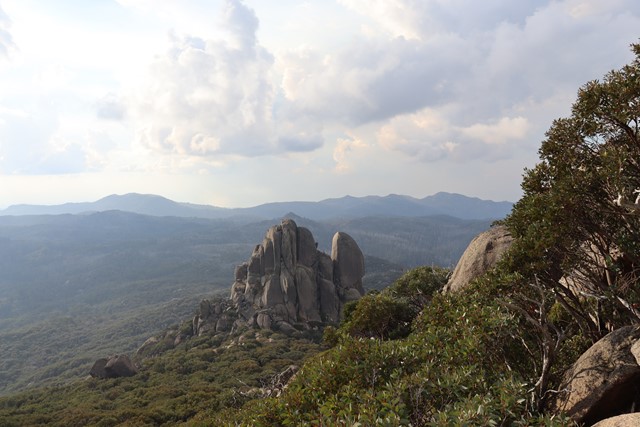
Cathedral - Hump Track
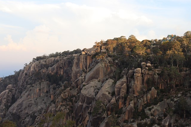
The Cathedral - Hump Walk offers spectacular views at every turn. Higher up it traverses rock slabs and is popular for capturing both sunrise and sunset photos with the Cathedral as the starring feature. The track ends at the outcrop of rocks overlooking Cresta Valley. Return the same way, staying on track, safe from unprotected cliff edges. Ends at the summit of The Hump (1695m).
 2.7
km
return
40
mins
2.7
km
return
40
mins
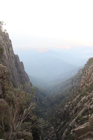
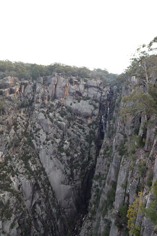
Gorge Heritage Walk
Follows the cliff edges of the gorge before crossing Crystal Brook above Crystal Brook Falls and following the opposite side of the gorge above the North wall which is 300 metres high before looping back round and then following the same track back to the Mount Buffalo Chalet.
 1.3
km
return
45
mins
1.3
km
return
45
mins
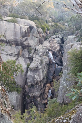
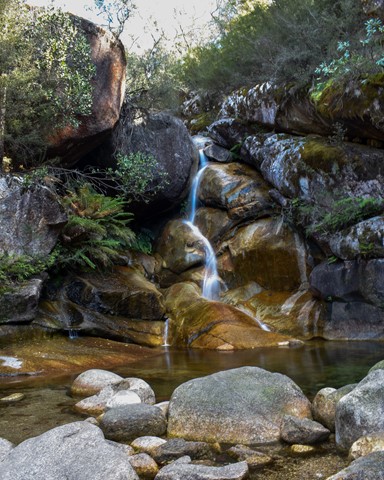
Ladies Bath and Eurobin Falls
At Ladies Bath Falls, water cascades into a perfectly clear pool of water, while at Upper and Lower Eurobin Falls, Crystal Creek spills spectacularly over a formidable granite escarpment. With only a short walk to see all three. In the early 20th century, travellers would stop here to cool off on their way to the Mount Buffalo chalet. The men and women would separate and Ladies Bath is where the women would come to dip their toes in the refreshing waters of Crystal Brook.
 800
m
return
45
mins
800
m
return
45
mins
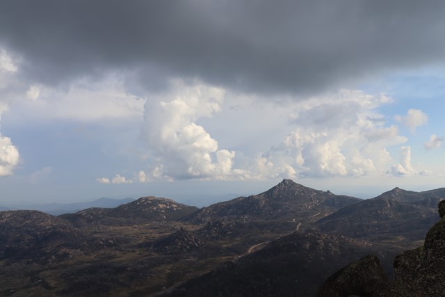
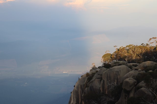
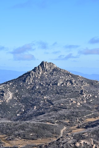
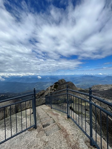
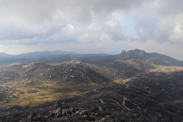
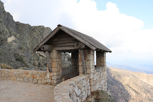
The Horn
Perched on top of granite cliffs at the edge of the Mount Buffalo plateau, The Horn is a unique landscape. Dotted here and there among the great boulders are the twisted, sun-bleached trunks of Snow Gums that have succumbed to bushfires over the years. A stone lookout shelter perched precariously atop the cliff overlooks all of this as well as the surrounding mountains far below. The Horn (1723m) is the most prominent peak of the Mount Buffalo plateau. A dirt road to The Horn picnic area which can be closed at times usually during Winter. Then the walk starts at the end of the paved road and carpark. Here, there are already magnificent views!
The walk itself is a steep ascent, narrow in places, with stairs and long hanging rock to limbo under.
Short in distance but you will work up a puff! Insane panoramic views from the top!
 1.6
km
return
40
mins
1.6
km
return
40
mins
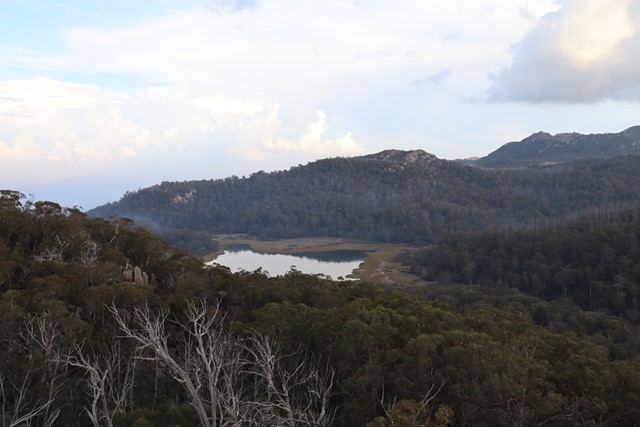
The Monolith Walk
A short walk up to the monolith with views over Lake Catani.
Walks in Point Nepean National Park
(Victoria)
2.8
km
one-way
1
hr
Bay Beach Walk
Explore the southern end of Port Phillip with this walk along the bay beach. The beach includes remnants of the old quarantine cattle jetty. Swimming is not advised due to Port Phillip's strong, unpredictable currents.
750
m
return
30
mins
Cheviot Hill and Harold Holt Memorial
Visit the World War II fortifications on Cheviot Hill, the highest point in Point Nepean National Park, and a memorial to Harold Holt, Australia's 17th Prime Minister who disappeared at nearby Cheviot Beach in 1967.
1
km
return
90
mins
Fort Nepean
Explore this 19th century fort that fired the first shot of the British Empire in WWI and the first Australian shot of WWII. Visitors can investigate the tunnels, forts and gun emplacements.
1
km
return
45
mins
Gunners Cottage and Walker Pisterman Heritage Walk
Explore the original Master Gunner's house and nearby Point Nepean Cemetary before visiting the bay and the Observatory Point picnic area.