
Menu
Popular Walks
-
Mt Ngungun
(1145 ticks) -
Mount Coolum
(864 ticks) -
Mt Warning Summit Trail
(759 ticks) -
Mt Cordeaux
(659 ticks) -
Twin Falls Circuit
(630 ticks)
Popular Walks
-
Mt Ngungun
(1145 ticks) -
Mount Coolum
(864 ticks) -
Mt Warning Summit Trail
(759 ticks) -
Mt Cordeaux
(659 ticks) -
Twin Falls Circuit
(630 ticks)
Sub-Regions

 400
m
400
m
 18
mins
18
mins
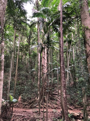
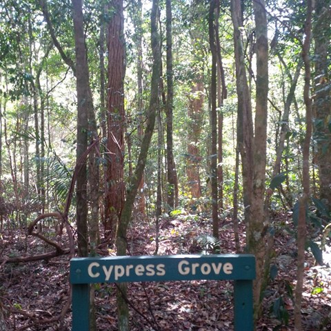
Cypress Grove
A small isolated cypress grove. An easy walk for most fitness levels.
 3
km
1
hr
3
km
1
hr
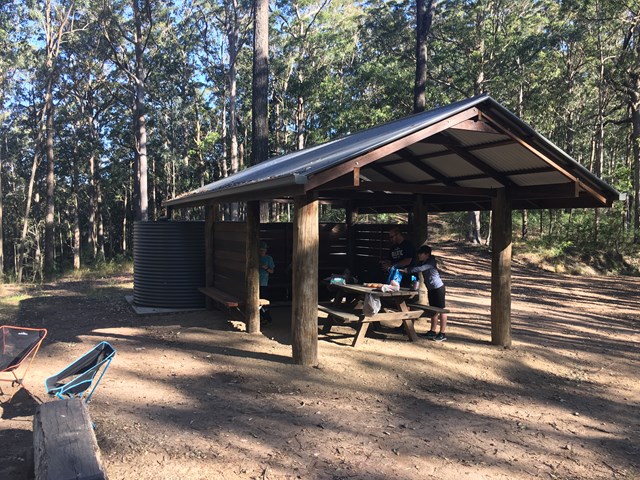
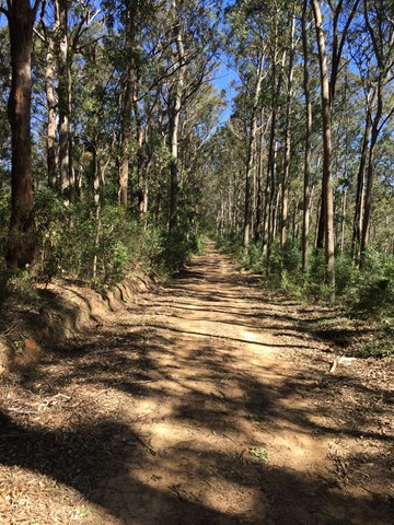
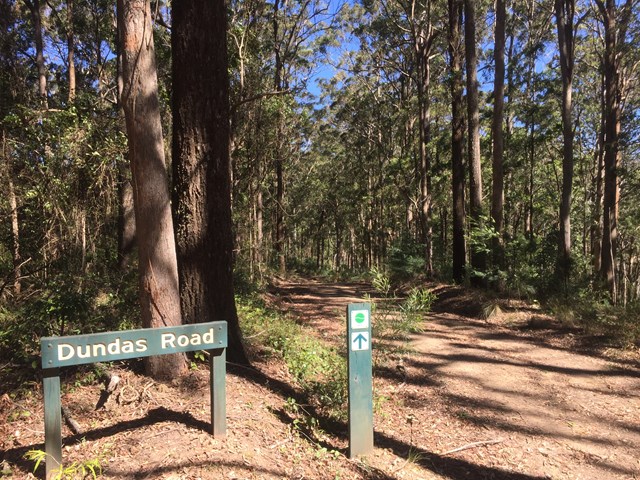
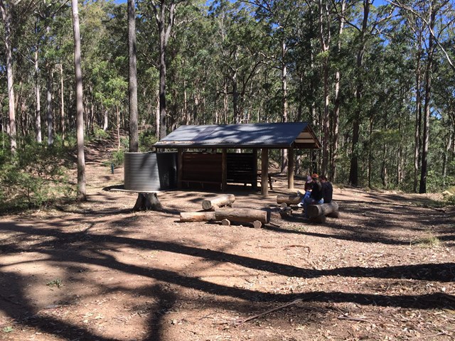
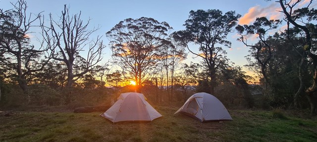
Dundas Road bush camp walk
Dundas Road bush camp.Remote bush camping in open eucalypt forest. Enjoy picturesque wet eucalypt forest on your walk to the campsite. This campsite is the most accessible remote campsite in the park and suits overnight campers with some walking experience and fitness.
This is a great place to base yourself to go exploring other areas.
 1.5
km
return
30
mins
1.5
km
return
30
mins
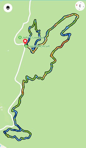
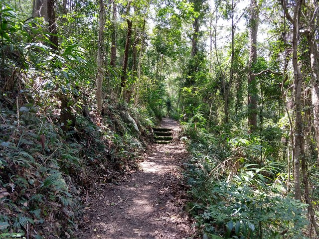
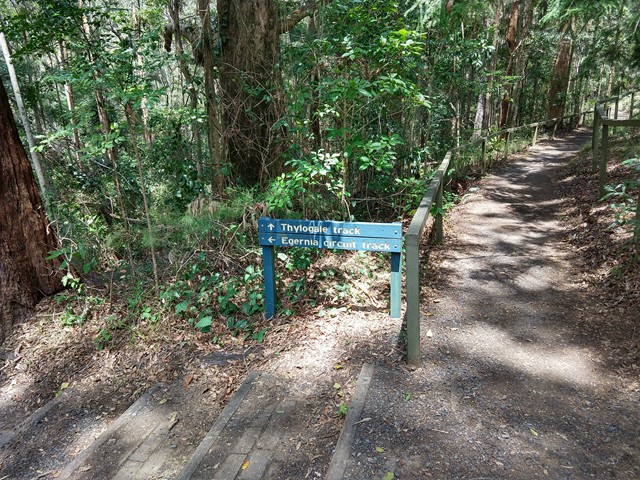
Egernia Circuit
From the road at the base of Jollys Lookout, this track loops through open eucalypt forest and back to the road. Parking is available at the lookout and at the walking track entrance below it. Early morning walkers may be rewarded with a host of different birdcalls to listen to.
 1.8
km
1
hr
1.8
km
1
hr
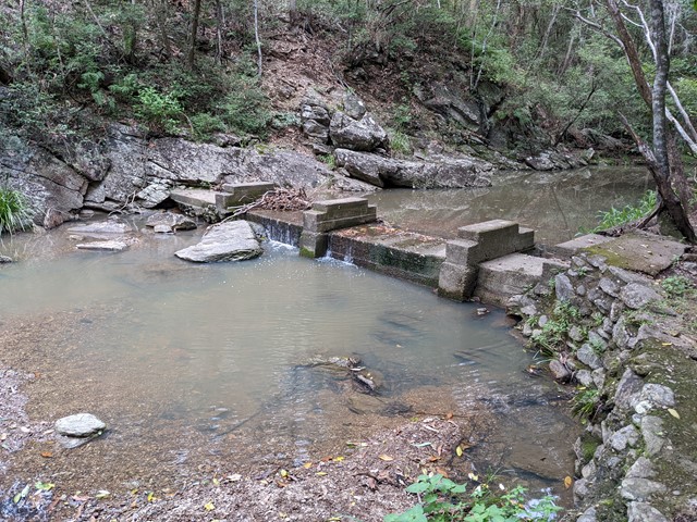
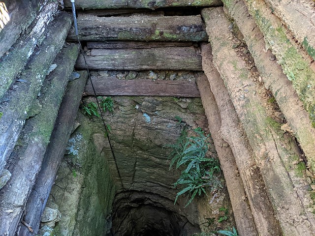
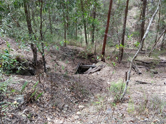
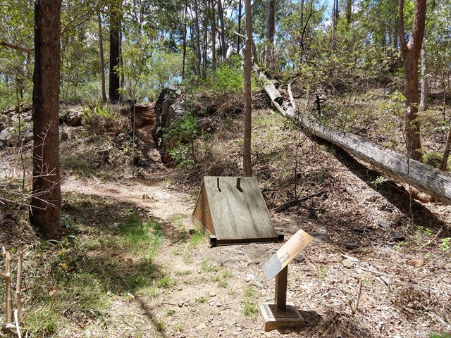
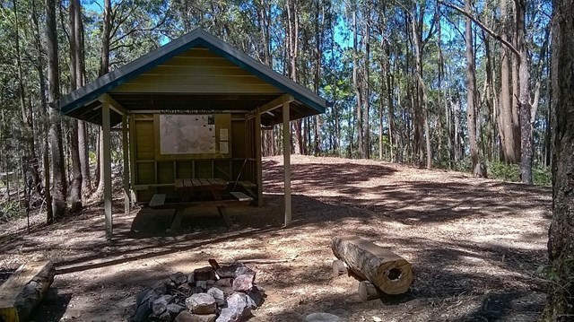
Golden Boulder Track
Cross the road and continue to the track shelter showing some history of the area then onto a plaque and continue along the track to a caged mine shaft. A worthwhile walk
 4.3
km
return
2
hrs
4.3
km
return
2
hrs
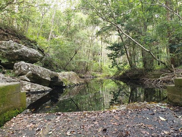
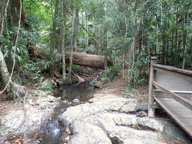
Greenes Falls via Rainforest Circuit + Cypress Grove Circuit
Greenes Falls Track is one of three connected walks, comprising of the Rainforest Circuit (2km return), Greenes Falls Track (+2.2km return) and the optional add-on of Cypress Grove Circuit (+500m), making a total walking distance of 4.7km. The small but beautiful trail network includes several boardwalk sections and sets of stairs, passing over rainforest pools and ending at a lookout above Greenes Falls. Be prepared for an uphill walk on the return trip. Parking is available at Maiala car park.
 2.5
km
one-way
90
mins
2.5
km
one-way
90
mins
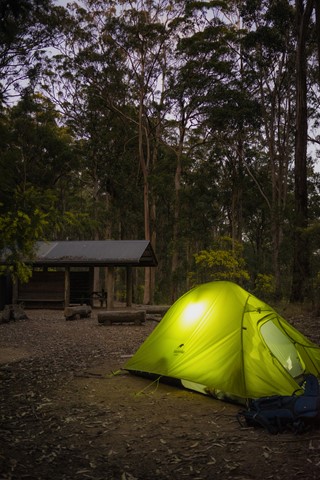
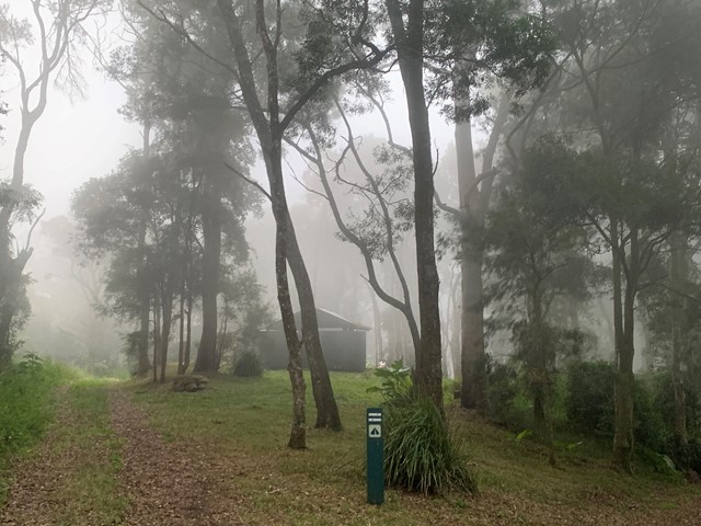
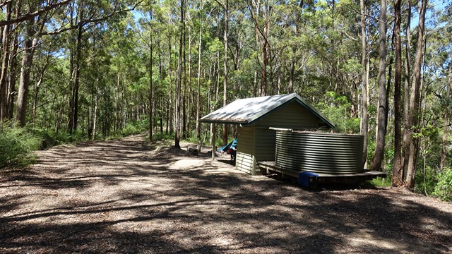
Lepidozamia Remote Bush Camp
A pleasant 2.5km walk along a well maintained access track through rainforest and wet eucalypt forest leading to a spacious, well equipped remote campsite. The campsite offers a hut with benches and a picnic table, two large water tanks, and seating around a fire pit. There are sunset views over the range when looking to the west and, to the east, you can enjoy views of the sunrise, Moreton Bay, and Brisbane lights at night. If you’re lucky you will also see the fireflies flitting around the camp.
 3.6
km
3.5
hrs
3.6
km
3.5
hrs
Light Line bush camp walk
Remote bush camping in open eucalypt woodland surrounded by bloodwoods, grey gums and tallowwoods. The uncommon shrub, Goodenia ovata, shows off its yellow flowers in spring and autumn along the road edge on the walk in.
 9.14
km
return
3
hrs
9.14
km
return
3
hrs
Light Line Rd Kholo to Mermaid Mountain
Amazing walk worth the views. This is the shortest and most direct route to get to the lookout.
 1
km
return
30
mins
1
km
return
30
mins
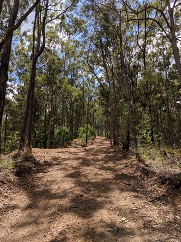
Lophostemon Walk
A short circular stroll following and crossing Neurum Creek.
 4.7
km
return
3
hrs
4.7
km
return
3
hrs
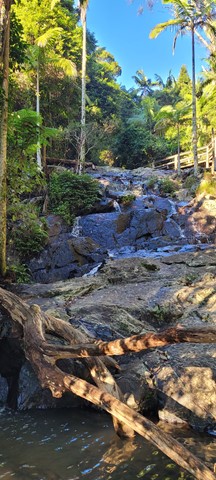
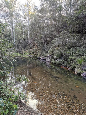
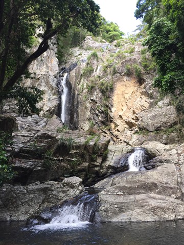
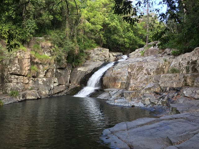
Love Creek Falls
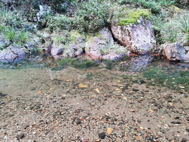
Rock hop up Cedar Creek past Cedar Falls and take the right turn onto Love Creek then follow it to Love Creek Falls.