
Menu
Popular Walks
-
Mt Ngungun
(1145 ticks) -
Mount Coolum
(864 ticks) -
Mt Warning Summit Trail
(759 ticks) -
Mt Cordeaux
(659 ticks) -
Twin Falls Circuit
(630 ticks)
Popular Walks
-
Mt Ngungun
(1145 ticks) -
Mount Coolum
(864 ticks) -
Mt Warning Summit Trail
(759 ticks) -
Mt Cordeaux
(659 ticks) -
Twin Falls Circuit
(630 ticks)
Sub-Regions
Walks in South East Queensland
(Queensland)
 11.5
km
one-way
11.5
km
one-way
 4
hrs
4
hrs
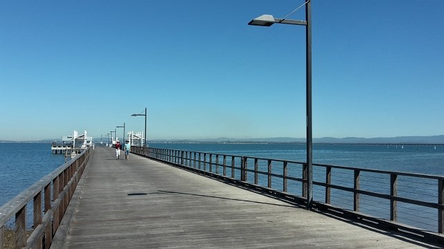
Moreton Bay Cycle Way (Woody Point to Scarborough section)
Coastal track along sheltered beaches with eye-popping ocean vistas and fascinating hertiage sites.
 3.3
km
return
90
mins
3.3
km
return
90
mins
Moreton Terrace Park
Lovely flat walk long boardwalk and sandy track taking around 1.5 hours return, through mangroves and out to Caboolture river mouth. Broad views across Moreton Bay, shady and easy. At the board walk end cross the dog off-leash area and you see the sandy path begin, follow your walk through the mangroves at high tide or take the beach, however, the track remains in the mangroves for the most. You end at the point of the Caboolture River.
0
m
return
0
mins
Mount Barney Remote Campsites
This .gpx file is for all the remote campsites in the Mount Barney National Park. I have taken the coordinates from the Parks DES website
 1
km
3
hrs
1
km
3
hrs
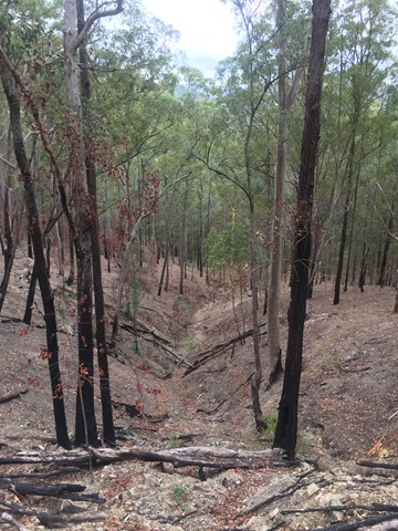
Mount Moon
Mount Moon near Mount Alford is on private property (you can ask for permission to climb it) near Mt Greville. I took the difficult (not defined) route up, through lots of lantana (as tall as myself) in which I got severely tangled. Lots of scratches to show for it at the end. My first really hard bushwalk.
 6.5
km
return
4
hrs
6.5
km
return
4
hrs
Mt Beau Brummell
An off-track walk on a rarely climbed mountain, with good views at the summit. This walk is closed to public access.
 3.5
km
return
75
mins
3.5
km
return
75
mins
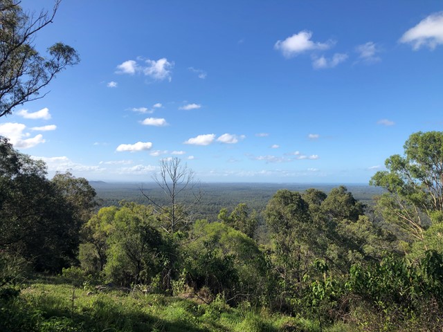
Mt Cotton
Great short walk up with good views out to Moreton, Moreton bay and Stradbroke islands and to city, Glasshouse Mountains, and mountains to south and west. The view makes this one of the most rewarding walks in the area. Park at foot of 640 West Mt Cotton Rd near roundabout opposite the quarry entrance.
 12
km
return
5
hrs
12
km
return
5
hrs
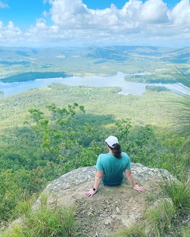
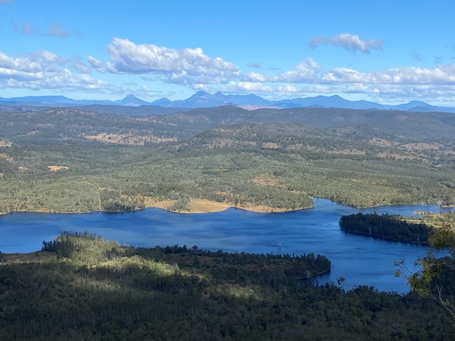
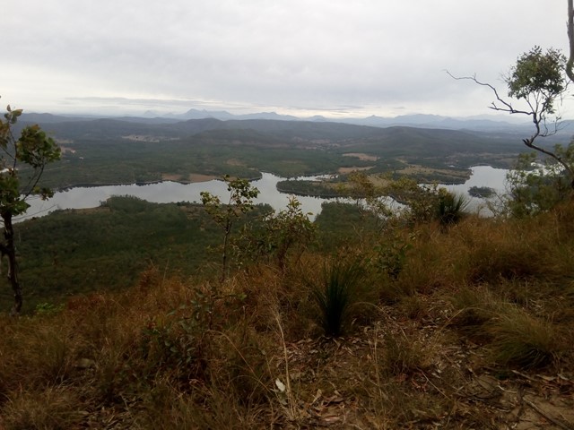
Mt Joyce Summit Walk
A easy, but long walk along the banks of the Wyaralong Dam to the summit track for Mt Joyce which rewards you with amazing views as far as Mt Barney.
 10.6
km
return
3
hrs
10.6
km
return
3
hrs
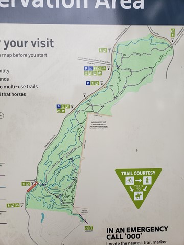
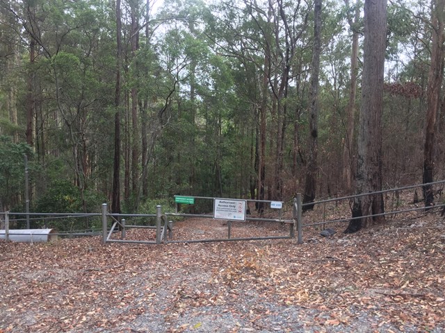
Nerang State Forest Centre Road
Decent walk through the State Forest. Network of trails to chose from to form a loop or simply return.
2.3
km
one-way
30
mins
Neranwood Multi Use Trail
The trail begins at the end of Little Nerang road and runs along the Southern portion of the Tallai range before running down it's Western flanks above Advancetown Lake (Hinze Dam) to Gold Coast Springbrook Road.
 3.5
km
return
45
mins
3.5
km
return
45
mins
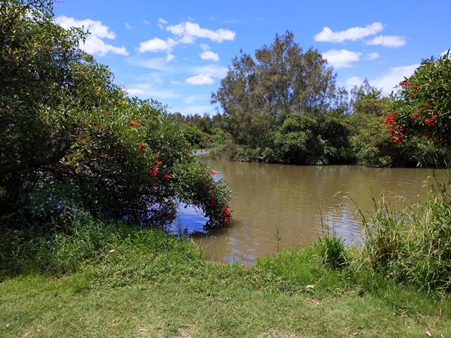
Oxley Creek Common-Pelican Island Walk
A serene patch of bird-inhabited wetland in the midst of an agricultural and industrial area, Oxley Creek Common has a couple of easy paved walking trails and picnic amenities for the visitor.
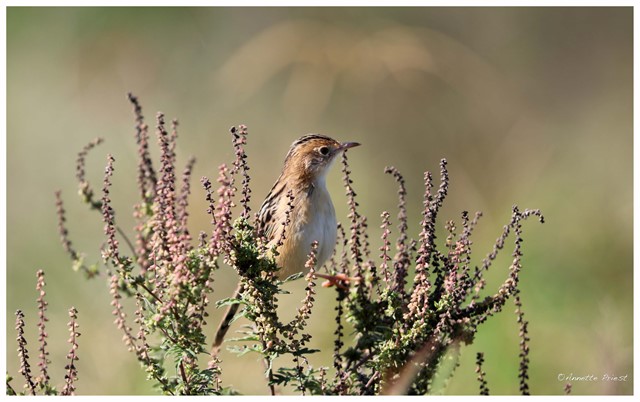
One trail leads from the picnic area and themed info and amenity block Red Shed and splits into two before ending at two different bird habitats. For those keen to spot some of the 180 plus species of bird that inhabit this space, the best times to walk are at dawn and dusk though ornithological tendencies are not required to enjoy these walks.