
Deer Reserve SF - T1
South East Queensland


Menu
GPS Tracks
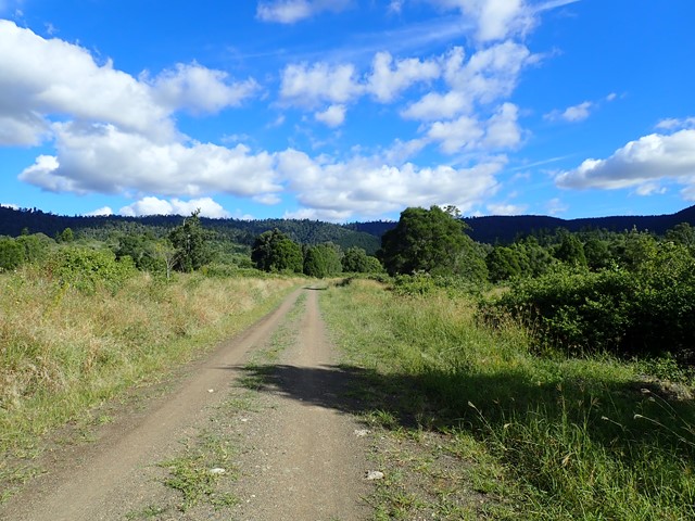

The northern half of Deer Reserve is a State Forest, containing native forest and hoop-pine plantations on steep mountainous slopes. It’s crisscrossed by management trails, which is perfect for hiking and mountain biking, provided you don’t mind hills.


Getting there:
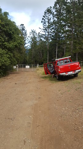
From Kilcoy, head west on the D'Aguilar and just out of town, turn left onto the Esk Kilcoy Road. After 1.8km, turn right into Gregors Creek Road and after a further 3.9km, turn left into Deer Reserve Road (gravel) and follow this for 900m till you reach a gated track on your left, where you need to park.
Maps:
Deer Reserve State Forest. Blog
Deer Reserve Map. Courtesy of 'Where to Mountain Bike in South East Queensland'.
Route/Trail notes:
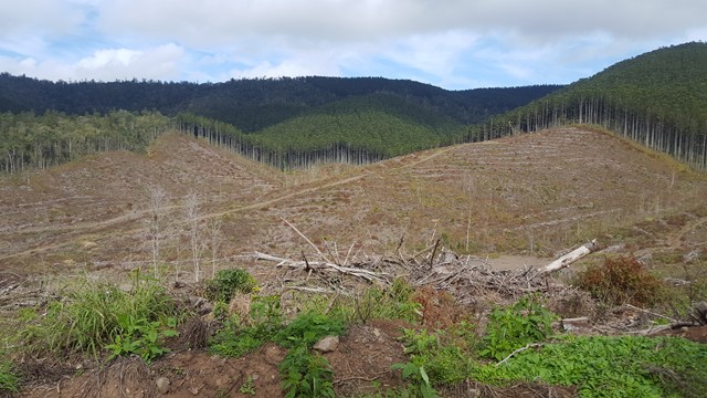
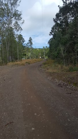
From where you parked, head through the gate and straight up the main track till you reach the 'Adventure Camp', and take the right fork. Keep going straight up through the felled tree area, ignoring various other track to the right and left, till you hit the tree line. The track now starts to be overgrown and rises steeply till it 'T' junctions with Shallcross Break, where you turn right and follow this back down to where you left your vehicle.
Permits/Costs:
None.
Other References/Comments:
Deer Reserve is named after a herd of deer; a gift from Queen Victoria to the people of the fledgling state of Queensland who had named their state in her honour. Since their arrival in 1873, the deer have flourished and can be found in many forests in the area.
This is just one of many walks in the State Forest and whatever way you do it, remember that it’s remote and rough. Bring plenty of water and snacks, and don’t forget a paper map (priority - see link above). Some of those trails can become quickly overgrown.
 266 Deer Reserve SF T1 (GPX)
 3.6
3.6 90
90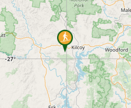
Comments