
Menu
Suggested searches
Your search found 118 results...

 5
km
return
5
km
return
 3
hrs
3
hrs
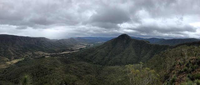
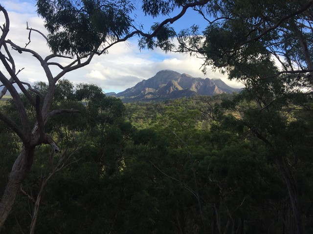
Glen Rock
Glen Rock Regional Park
Glen Rock State Forest is situated at the head of Tenthill Valley and adjoins the World Heritage-listed Main Range National Park.
 4
km
return
2
hrs
4
km
return
2
hrs
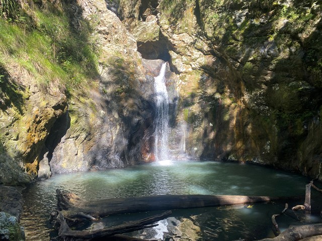
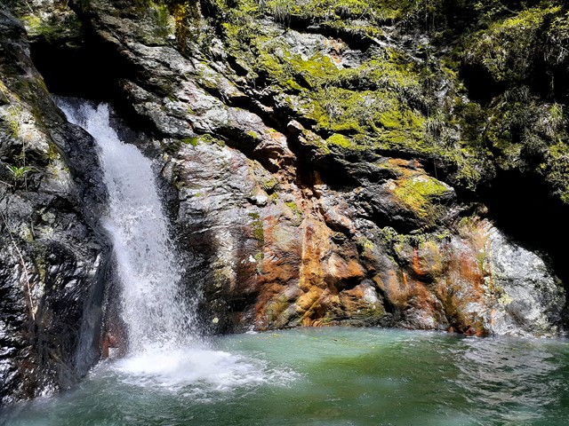
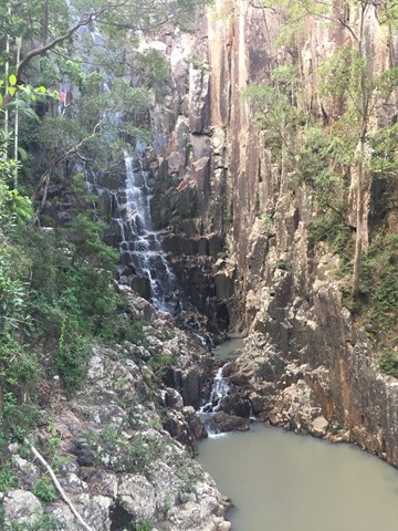
Gorge Falls
Springbrook National Park
Gorge Falls is a 5.6km return walk along the Cream Track, beginning at the end of Tallebudgera Creek Road.
When you reach the cream track signpost that takes you up some man made steps bear left and follow the path to the left to get to the falls. The track seems to disappear a few times but just continue along the edge of the creek and you keep finding it.
 4.4
km
2
hrs
4.4
km
2
hrs
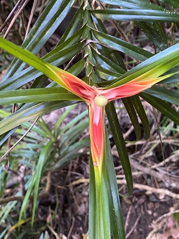
Palm Grove Circuit
Main Range National Park
Branching from the Rainforest Circuit, this walk ends in a one kilometre circuit featuring a dense grove of Piccabeen palms in rainforest and open eucalypt forest. A variety of birdlife can be seen and the track is suitable for all ages.
 4.7
km
2
hrs
4.7
km
2
hrs
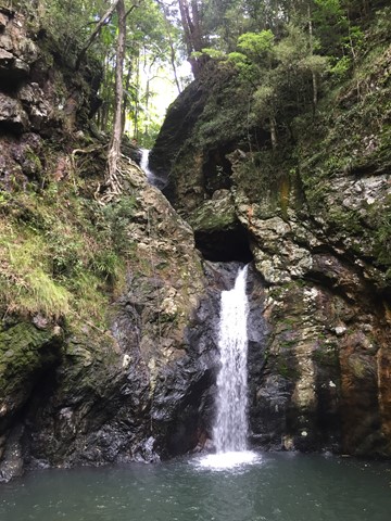
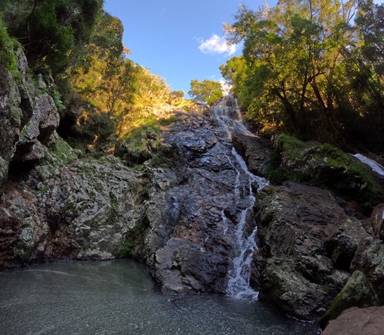
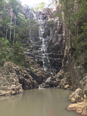
Kondalilla Falls Circuit
Kondalilla National Park
Kondalilla Falls (80m) is one of the most spectacular and accessible falls on the Sunshine Coast Hinterland. The walk down to the falls is 'family friendly' with some rock stairs and a maintained path. Great views of the rainforest valley from the natural rock pools at the top. You can swim in the rock pools at both the top and bottom of the falls.
 5
km
return
1
hr
5
km
return
1
hr
Box Forest Track
Main Range National Park
Rain forest walk from top car park to the bottom rest area at Cunningham's Gap. Includes 2 creek crossings and plenty of little waterfalls along the way.
4.2
km
return
2
hrs
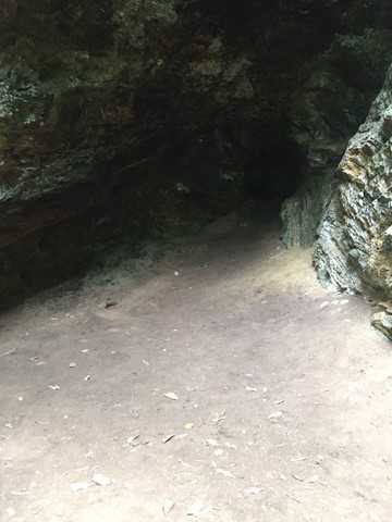
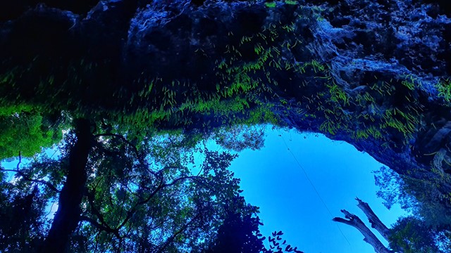
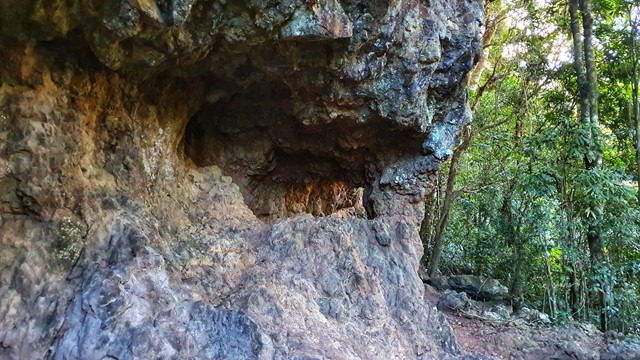
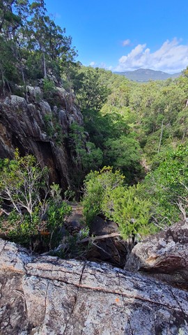
Bushrangers Cave
Springbrook National Park
An off-track walk from the border gate to Bushrangers Caves, which used to be an aboriginal camp. The adventurous can head on up Mt Wagawn to join up with the main Lamington track system.
 4.5
km
return
3
hrs
4.5
km
return
3
hrs
Paddy's Falls
Mt Barney National Park
Also known as Golden Staircase Falls for the so named nearby fire trail. Follows the fire trail before a rock hop up the creek to the falls then you can return the way you came or scramble out of the gully up to the fire trail and use it to go all the way back.
 6
km
return
3.5
hrs
6
km
return
3.5
hrs
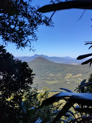
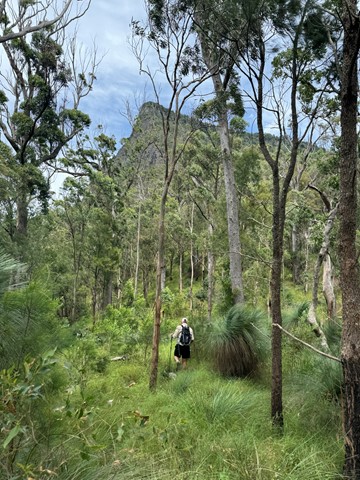
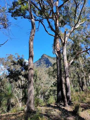
Boyds Butte - from Cougal Cascade
Springbrook National Park
A relatively short walk, but challenging, rainforest walk, with great views as a reward. You'll need a GPS app, or good off-track navigational skills in places.
 6
km
return
4
hrs
6
km
return
4
hrs
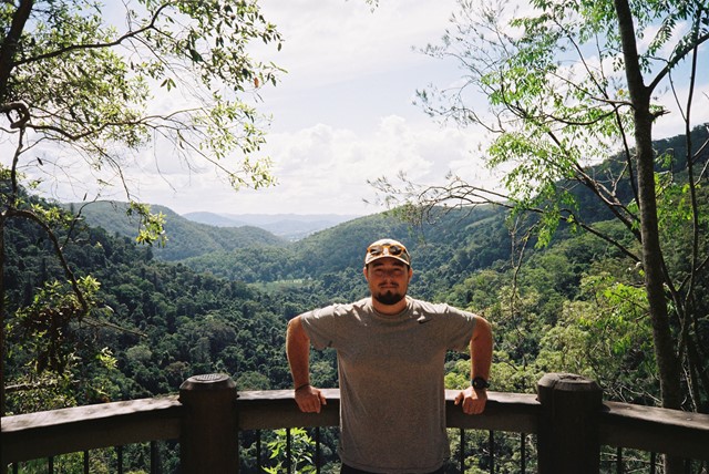
Spicer's peak
Main Range National Park
A steep and loose ascent from Governor's Chair. The views are great over the Fassifern Valley.
 5
km
return
3
hrs
5
km
return
3
hrs
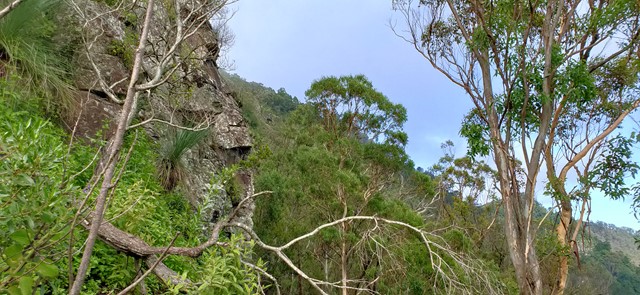
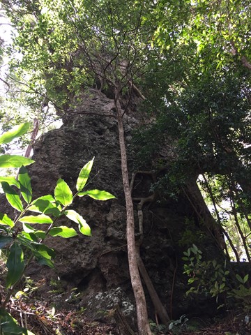
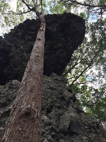
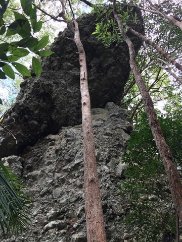
Hanging Rock Bushwalk
Gold Coast
This bushwalk follows the border fence East from the Tomewin border crossing through often overgrown terrain. Initially you head up hill to Mount Boyung Thuga before continuing over the shoulder of Mount Tomewin and then over Mount Talganda Colgon (consult NSW SIX maps rather than Qtopo for accurate mountain positioning). The Hanging Rock formation is a few hundred metres past Mount Talganda Colgon.