
Menu
Popular Walks
-
Mt Walsh
(108 ticks) -
Barker Creek Circuit
(77 ticks) -
Carlo Sandblow
(68 ticks) -
Scenic Circuit
(64 ticks) -
Mount Kiangarow
(59 ticks)
Summary
From Gympie to Bundaberg. This region is known for...
Popular Walks
-
Mt Walsh
(108 ticks) -
Barker Creek Circuit
(77 ticks) -
Carlo Sandblow
(68 ticks) -
Scenic Circuit
(64 ticks) -
Mount Kiangarow
(59 ticks)
Parent Regions
Sub-Regions
History
Any interesting history for the region?
Features
What are the standout bushwalking features?
Access
How do you get there? Include all access points if there are many?
Maps
Which maps cover the region?
Accommodation
Where can I stay there? or near there?
Camping
Council Areas
- Gympie Regional
- South Burnett Regional
- North Burnett Regional
- Fraser Coast Regional
- Bundaberg Regional
Contact details
See QLD National Parks Website: ..
Walks in Wide Bay Burnett

 4
km
return
4
km
return
 45
mins
45
mins
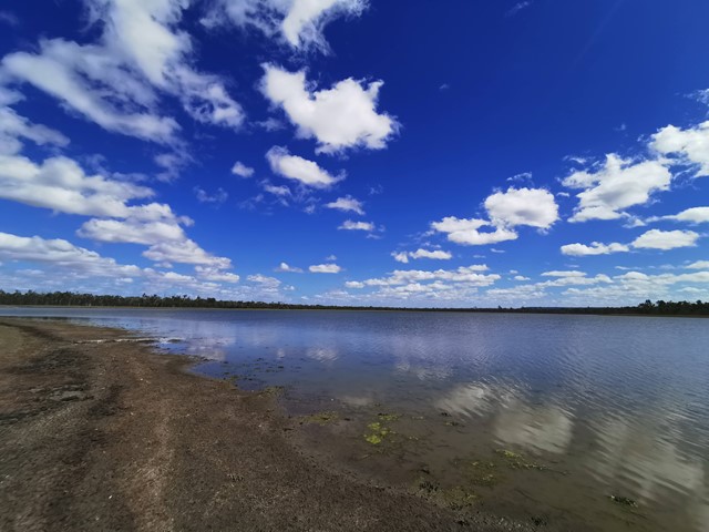
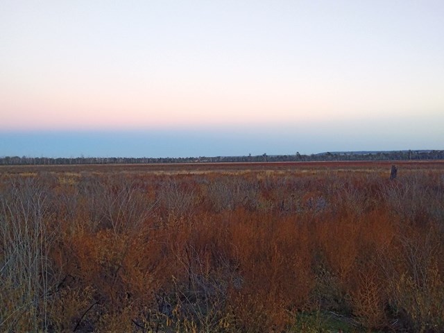
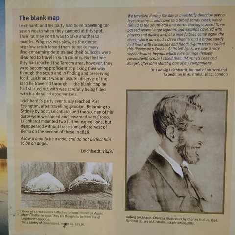
Lake Murphy Conservation Park
Nice easy stroll along the camping area , Robinson Creek and Lake Murphy
 20
km
one-way
3
hrs
20
km
one-way
3
hrs
Mary to Bay Rail Trail
A 20k walk/ ride from Hervey Bay To Maryborough, or visa versa. Cleared packed gravel track to thicker bush tracks. Mainly flat with some flooding in wetter weather. View the bird life and early morning kangaroos feeding on tufts of grass by the track.
 100
km
return
15
mins
100
km
return
15
mins
McConnell Lookout
Lovely views of Burnett River, easy walk, shade shelter and bbq.
5
km
return
1
hr
Mount Mia
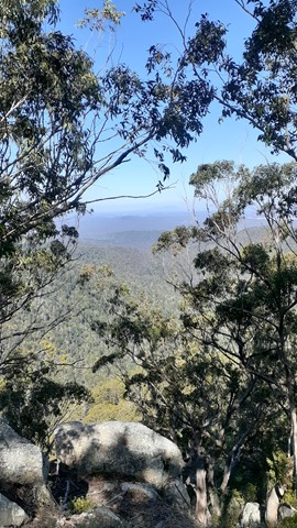
Located in Wrattens State Forest . Nice quite hike as none venture out here often I say.
 5.5
km
return
2
hrs
5.5
km
return
2
hrs
Mount Perry Summit Walk
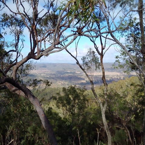
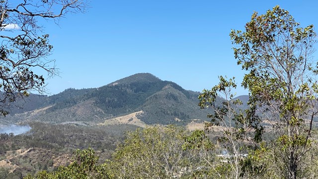
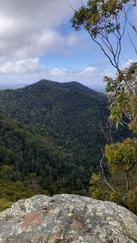
Mt Perry. The walk up to the tree line is the hardest part. About 1km , constantly going up, in the sun and warmth of the morning really takes it out of you. The track through the trees and up to the peak is quite a good one and anyone who enjoys a good bush walk should have no problem reaching the peak. Once there the views are fantastic.
 10
km
return
2
hrs
10
km
return
2
hrs
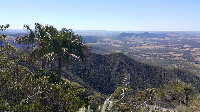
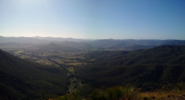
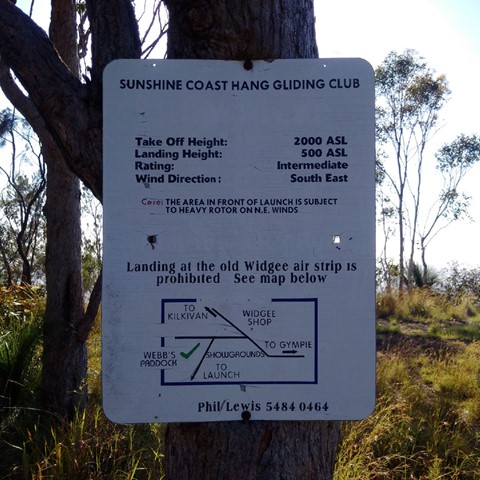
Mt Widgee
Nice relatively easy ,if you're fit ;-) , up to Mt Widgee to enjoy awesome views across Wratten Forrest.
 3.6
km
return
2.5
hrs
3.6
km
return
2.5
hrs
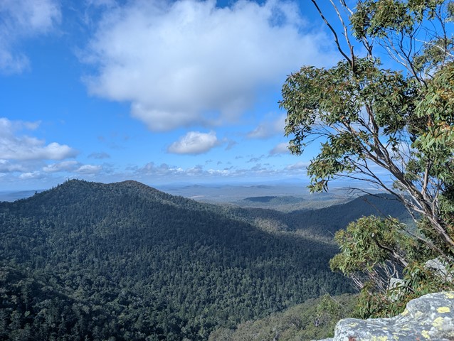
Mt Woowoonga
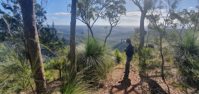
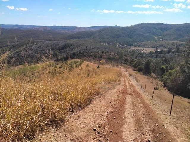
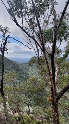
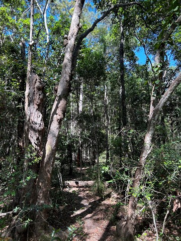
A rough trail leads through thick vine forest to the lookout before opening up into open hoop pine forest with some vine forest sections in the understory. Towering hoop pines greet hikers at the summit of Mt Woowoonga. A high level of fitness is required to make the final ascent to the summit as it is a steep and strenuous climb suitable for experienced bushwalkers only.
 2.75
km
return
30
mins
2.75
km
return
30
mins
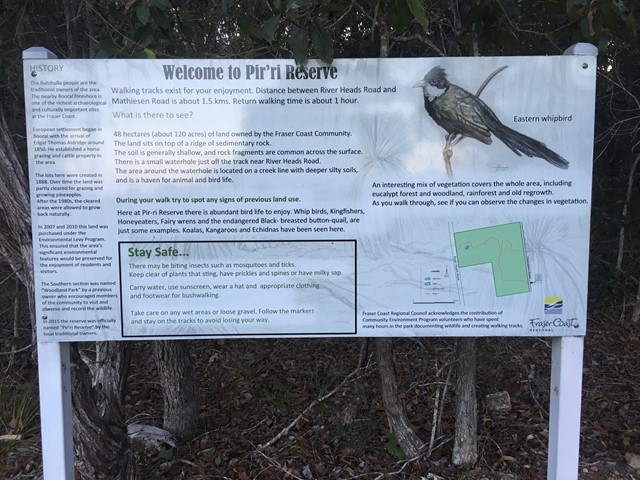
Pir'ri Reserve
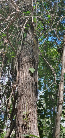
Easy walk through rainforest to grassland and gums. Koalas 🐨 can be seen if your patient and lucky.
Trail is not very well maintained
 700
m
return
30
mins
700
m
return
30
mins
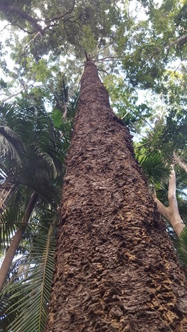
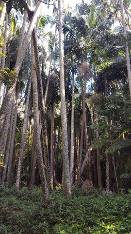
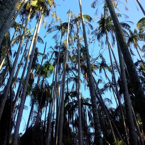
The Palms Circuit
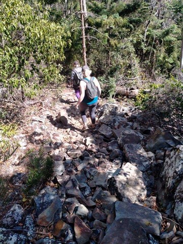
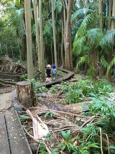
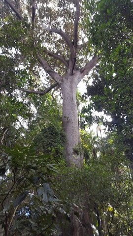
Tucked away in the hills east of Cooyar, The Palms National Park is a gem worth making an effort to visit. Small in size, but big in nature, this tiny patch of remnant subtropical rainforest is filled with impressive piccabeen palms (Archontophoenix cunninghamiana) clinging to a waterlogged depression, towering fig trees and a rich suite of birdlife. It is also home to a colony of grey-headed flying foxes.
Officially marked as Grade 3/Medium difficulty (includes natural stairs, a narrow boardwalk + uneven or slippery surfaces), this walk is easily manageable for most ages and fitness levels.