
Menu
Popular Walks
-
Dragon and Bloodwood Caves
(39 ticks) -
Dripping Rock and The Overhang
(38 ticks) -
Two Storey Caves Circuit
(27 ticks) -
Fern Tree Pool and Giant's Chair Circuit
(25 ticks) -
Big Foot Walk
(21 ticks)
Parent Regions
Summary
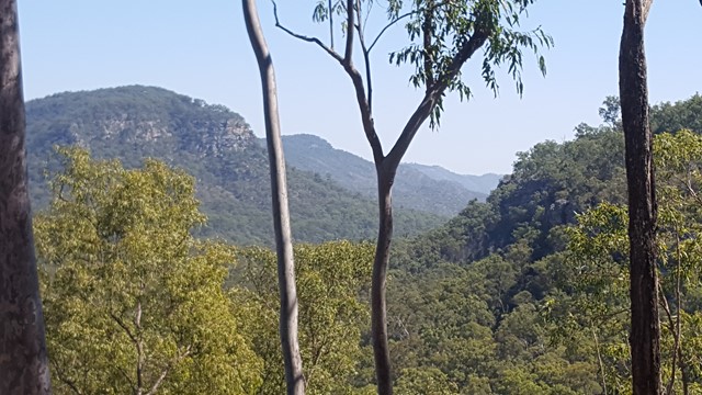
Situated just north of Monto off the Burnett Highway, this park provides a wide selection of walks through the gorge an onto the escarpment.
Popular Walks
-
Dragon and Bloodwood Caves
(39 ticks) -
Dripping Rock and The Overhang
(38 ticks) -
Two Storey Caves Circuit
(27 ticks) -
Fern Tree Pool and Giant's Chair Circuit
(25 ticks) -
Big Foot Walk
(21 ticks)
Parent Regions
History
Any interesting history for the region?
Features
What are the standout bushwalking features?
Access
How do you get there? Include all access points if there are many?
Maps
Which maps cover the region?
Accommodation
Where can I stay there? or near there?
Camping
Other
Contact details
https://parks.des.qld.gov.au/parks/cania-gorge/about.html
Walks in Cania Gorge National Park

 1.2
km
return
1.2
km
return
 30
mins
30
mins
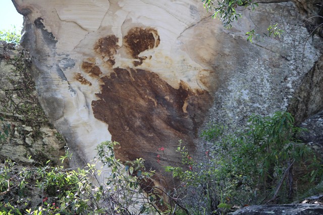
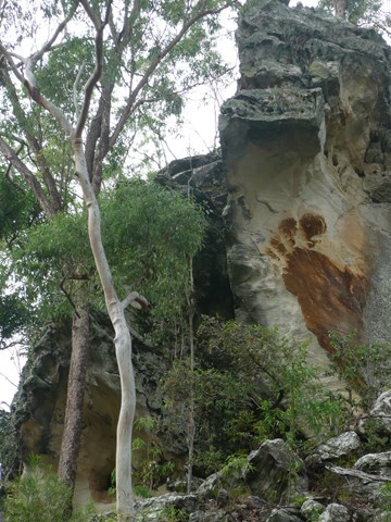
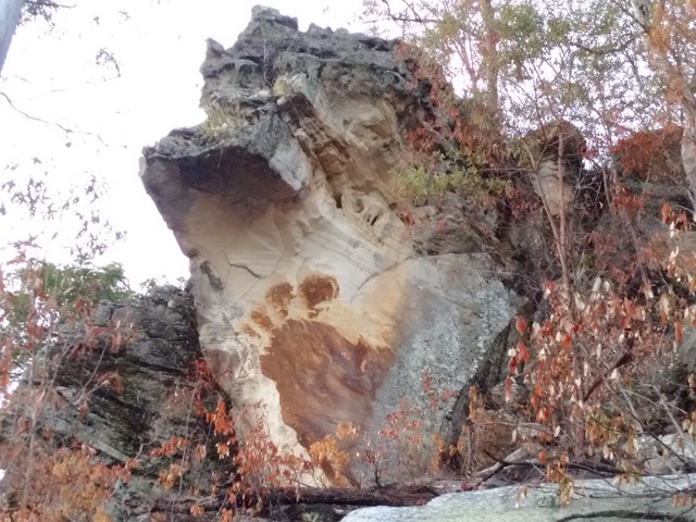
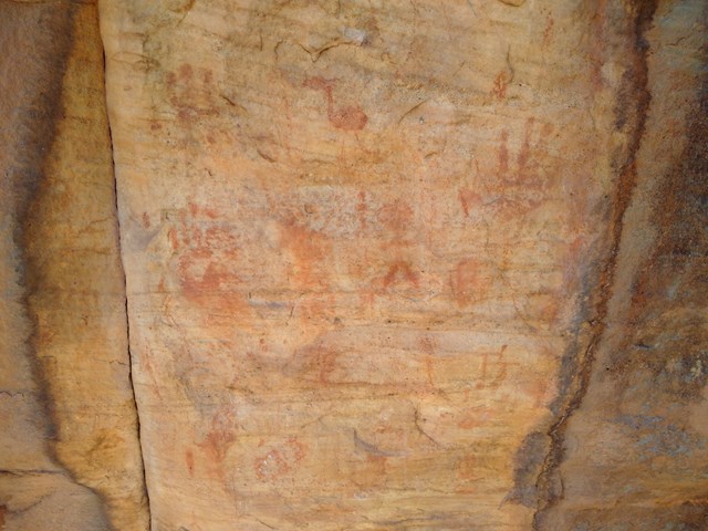
Big Foot Walk
Short trail featuring a large brown image of a four-toed foot on the white sandstone cliff.
 16
km
2
days
16
km
2
days
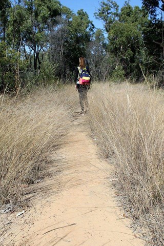
Cania Gorge
Seven walks all well signposted, covering a distance of 16km, with photo opportunities and better after a wet season. Biggest walk 22kms return.
 24
km
return
6
hrs
24
km
return
6
hrs
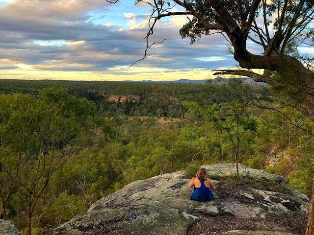
Castle Mountain Lookout
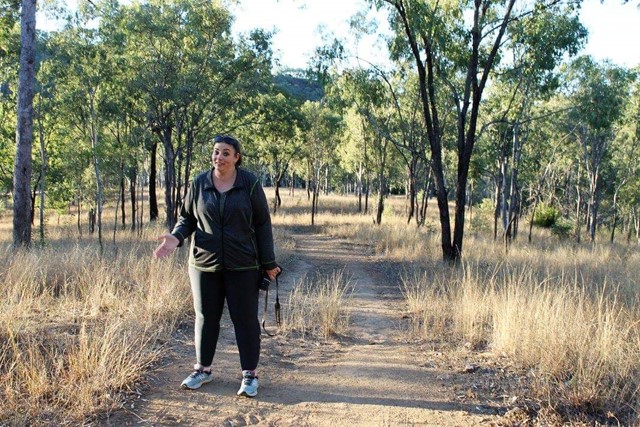
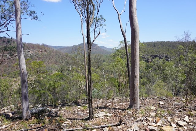
This walk start from the main car park. Head off toward the Gorge lookout then it continues on from there to a fire trail that runs up the eastern side of the range. Fairly easy going and slowly works uphill with a steeper section at the end to get the heart pumping. Along the fire trail there are the odd resting chair and glimpse of views off to the east. Take plenty of water as there is no water anywhere on the trail or lookout. The maps at the start said 22km return but I had 24km on my return.
 4.2
km
return
2
hrs
4.2
km
return
2
hrs
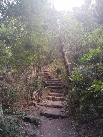
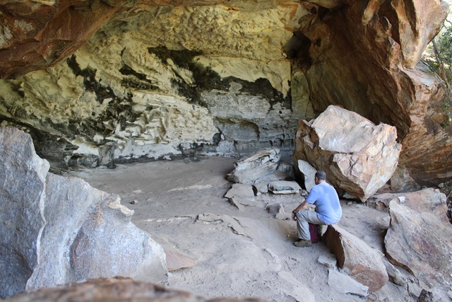
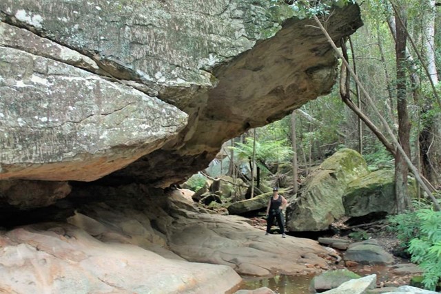
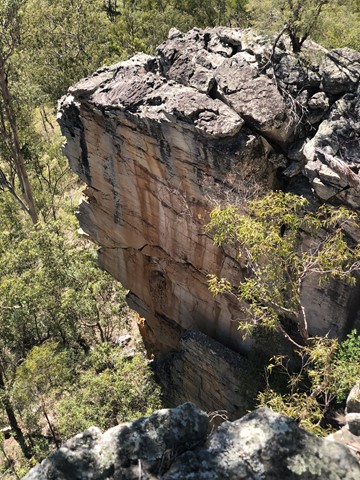
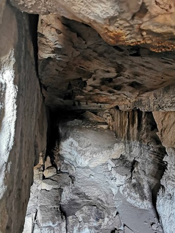
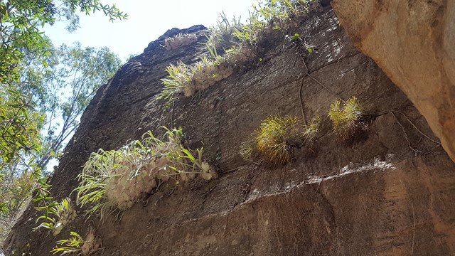
Dragon and Bloodwood Caves
A moderate steep track leading to and along the cliff face, where a sidetrack branches north to Dragon Cave. The southern branch leads to Bloodwood Cave and then a steep stepped section to the Gorge Lookout.
 3.2
km
return
90
mins
3.2
km
return
90
mins
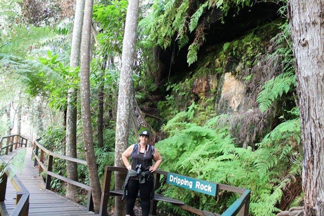
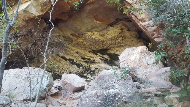
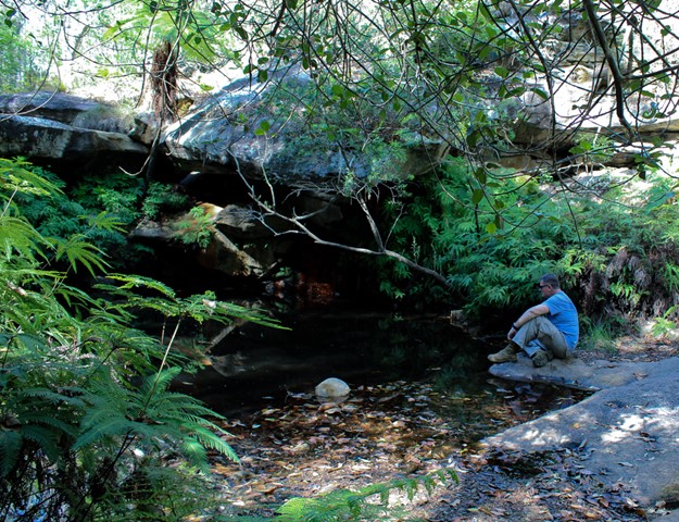
Dripping Rock and The Overhang
Nice easy walk through bit of rainforest to Dripping Rock and further to The Overhang where water has eroded the base of the sandstone cliff.
 5
km
return
2
hrs
5
km
return
2
hrs
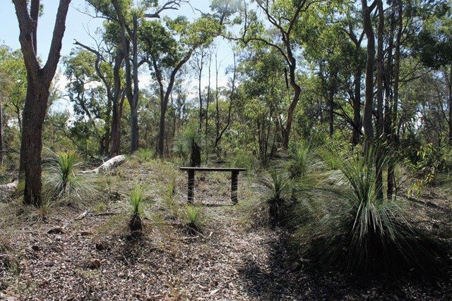
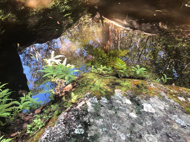
Fern Tree Pool and Giant's Chair Circuit
A circular walk, that takes a steep climb the Giant's Chair lookout and then down to Fern Tree Pool and back along Doctors Gully. An ever changing environment from boulder to eucalypt to rainforest.
 1.4
km
return
45
mins
1.4
km
return
45
mins
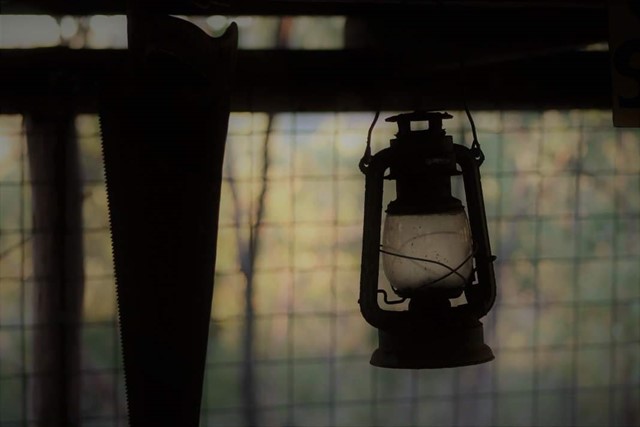
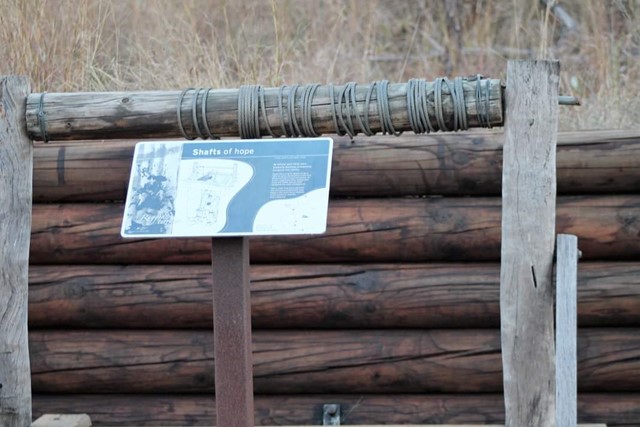
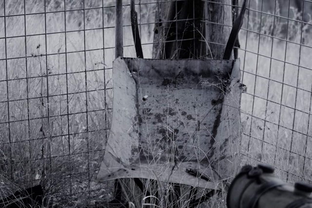
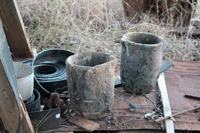
Shamrock Mine Site
The track meanders along the creek before passing into eucalypt woodland. At the former Shamrock Gold Mine site, there is a self-guided walk with information about the life on the Cania Goldfields.
 8
km
return
6
hrs
8
km
return
6
hrs
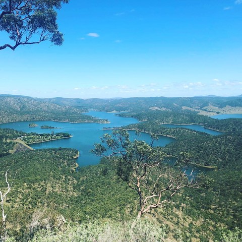
Shamrock Mine to Castle Mountain Lookout
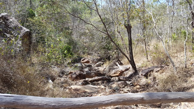
This walk follows a creek bed to the rock face, where you need to climb a dry waterfall, before using navigational skills to reach the fire trail that takes you to the lookout that provides stunning views of the dam, lake and gorge.
 3
km
return
2
mins
3
km
return
2
mins
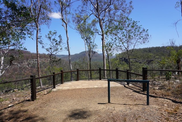
The Gorge Lookout
This lookout is off the Dragon Cave and Bloodwood Cave Walk (Approx 240 meters up from half way along the walk)
 1.5
km
return
1
hr
1.5
km
return
1
hr
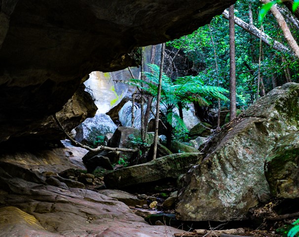
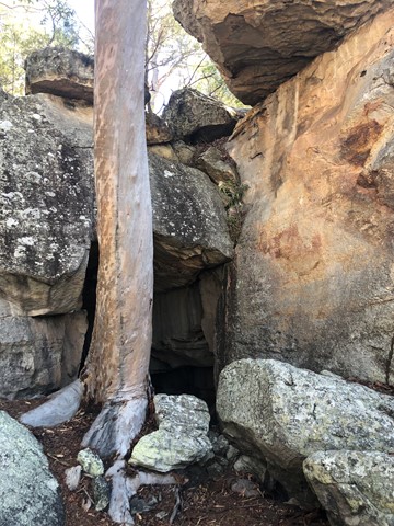
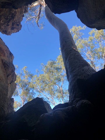
Two Storey Caves Circuit
An easy loop walk that takes in King Orchid Crevice and the Two Storey Caves.