
Summary
Coastal National Park within the Bundaberg Region
Popular Walks
-
Melaleuca Circuit
(17 ticks) -
Russells Rest Track
(2 ticks)
Parent Regions
History
Any interesting history for the region?
Features
What are the standout bushwalking features?
Access
How do you get there? Include all access points if there are many?
Maps
Which maps cover the region?
Accommodation
Where can I stay there? or near there?
Camping
Other
Contact details
https://parks.des.qld.gov.au/parks/burrum-coast
Walks in Burrum Coast National Park

 11
km
return
11
km
return
 4
hrs
4
hrs
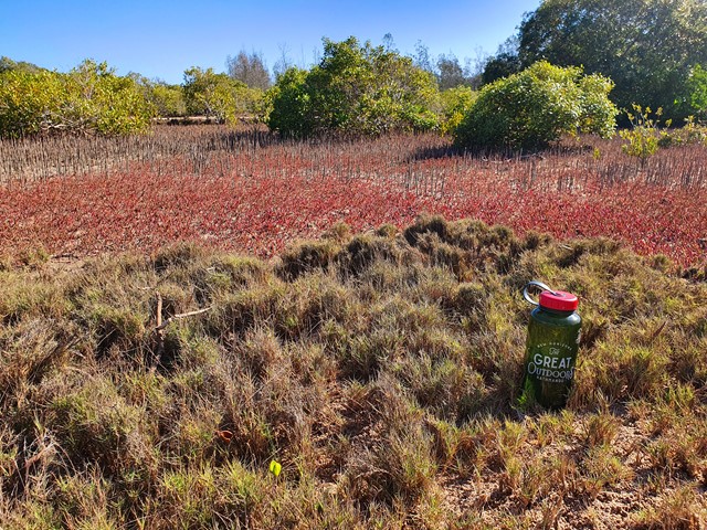
Melaleuca Circuit
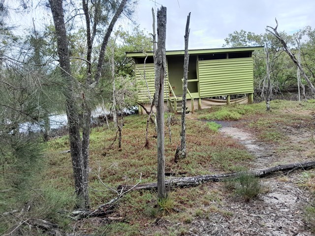
A nice walk, just 45 minutes drive from Bundaberg. Walk through the trees to come out to a beautiful mangrove and continue on to an 4WD/walk in only camp-site. A short sandy section along the beach, leads you back to the start of the circuit. Official signage says 12km return, but my GPS only measured around 11km.
 500
m
return
10
mins
500
m
return
10
mins
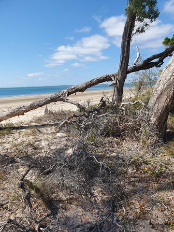
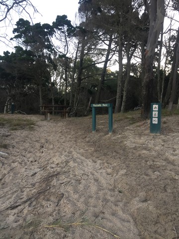
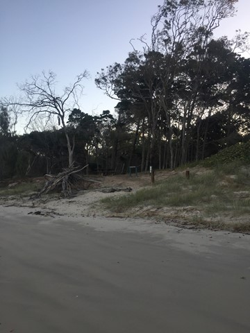
Russells Rest Track
Reward yourself with a picnic and endless ocean and estuary views at the end of this pretty walk.
After you’ve set up camp in the Burrum Point camping area, pack a picnic and meander through cypress pine and tea-trees to a small rest area on the beach. Soak up endless views of the ocean and the Burrum and Gregory river mouths.
Unwind to the sound of the wind in the trees and watch brahminy kites circle overhead. Look for shorebirds—resting here during long migratory flights. If you visiting during winter, keep your eyes glued to the horizon, you might be lucky enough to see whales breaching and playing in the offshore waters of the Great Sandy Marine Park.