
Mt Cougal
Springbrook National Park


Menu
GPS Tracks
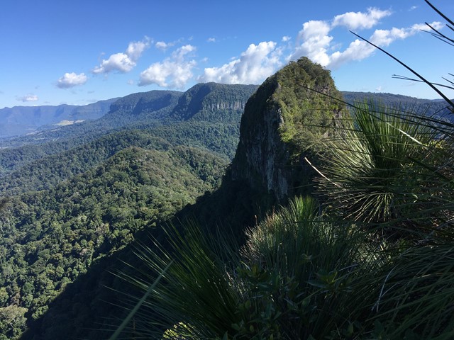
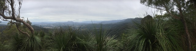

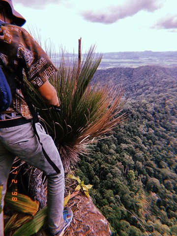

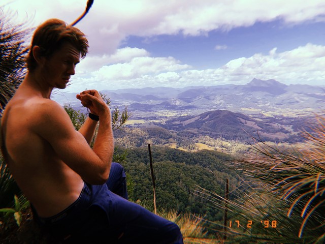


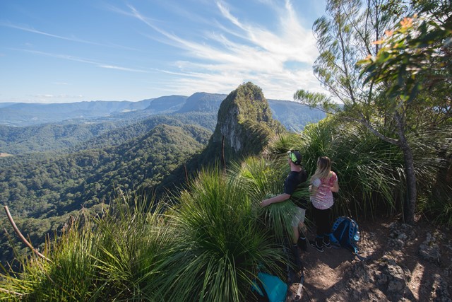
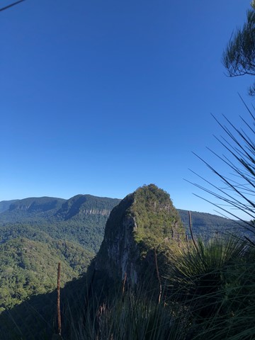


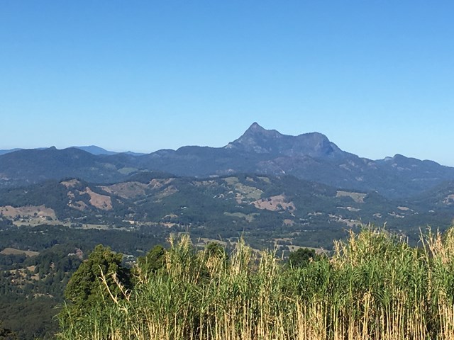
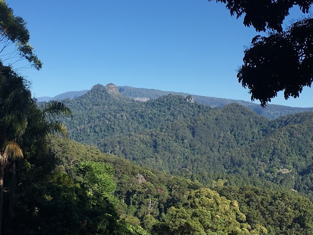

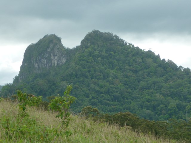

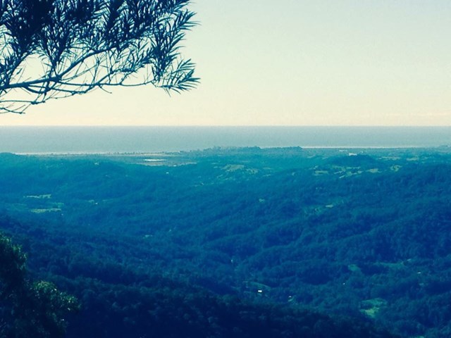
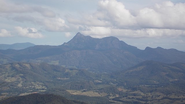


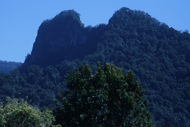
A walk along the border fence line to the twin summits of Mt Cougal. There are excellent views from the top!
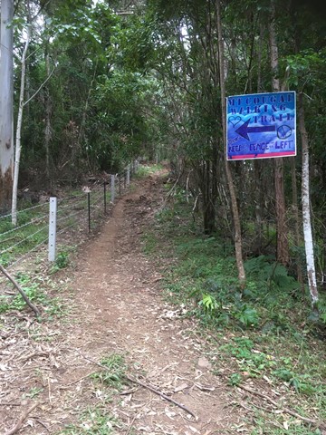
It is hard for beginners. Make sure you check weather. Finding location is a little hard. When arrive see steel gate that states ‘please keep gate clear ta’ On side of gate you can enter, when pass the gate look to your left and see sign with with instructions. Don’t be discouraged when you start, it is a little scary, but it gets easier, but still lots of hill. Follow the barbed wired fence on your left the whole way. The track will go from very narrow to comfortable in some places. Once you reach the last 700 metres or so... it becomes much harder. You will see a thin rope to guide you - do not use this to pull you up as it will break!! You will come to a spot where the track will seem to end. Look for a tree that has arrows etched into it to guide you where to go. There’s also a small pink ribbon tied to a tree branch Up further. You have to go up! It’s hard but worth it.

Getting there
Turn into Stewart Road, exit 95 from the M1. Turn left into Currumbin Creek Rd after about 1km. After about another 7km turn left into Tomewin Mountain Rd. after about another 10km pass through the Border Gate. Turn right into Garden of Eden Rd, about 1km from gate. Drive for about 4km to a gate with a few carspaces. Park Here.
Maps
Sunmaps Springbrook 25000
Route/Trail notes
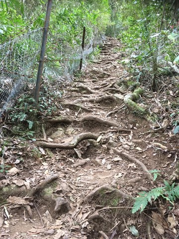
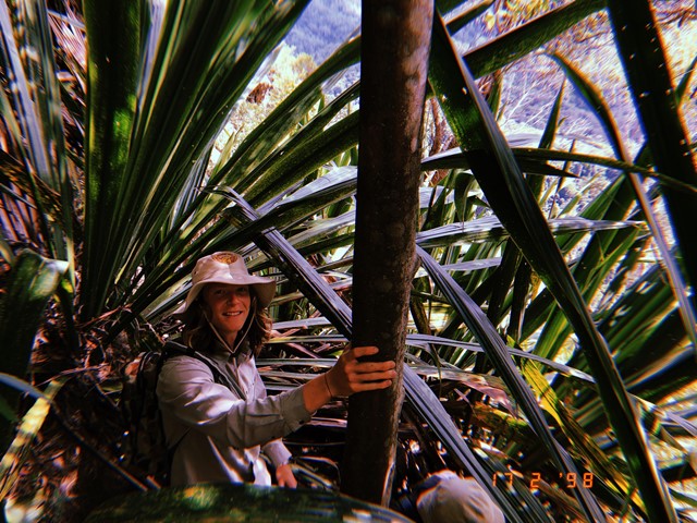
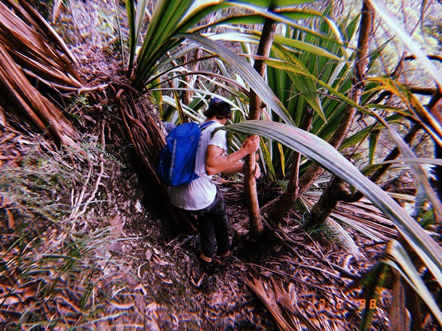
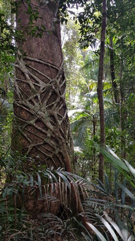
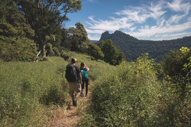
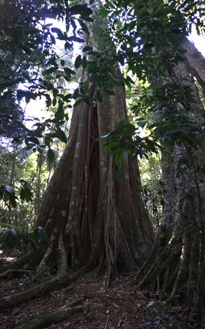
Hop the locked gate (actually, you can walk around it) and follow the path immediately on the left uphill. The barbed wire fence commences here on your left, lantana on your right and sugarcane on your left in patches further up. Do not follow the obvious track straight ahead of the gate! If you see a bunch of abandoned shacks you have gone the wrong way!! After fighting through some serious folage (the path is majorly overgrown for the first hour) at the top of this hill you are rewarded with views of the Tweed Valley and the coast. In fact, garters, long pants and ideally a machette should take care of the basic requirements to continue on this walk. :) The high folage is wet in the mornings requiring hiking boots to avoid soaked feet. On the return (if you choose that option), once the sun hits it, it becomes sticky with a billion small pricles finding every piece of exposed skin! Nonetheless, if you can get past the folage, after the first hour, the track becomes well worn, shady without the high grass. You will be walking on a relatively easy rainforset track for a while.
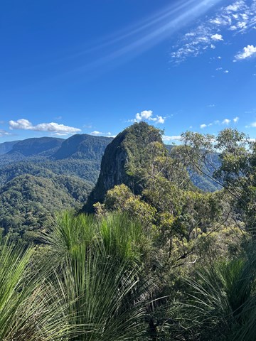
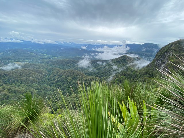
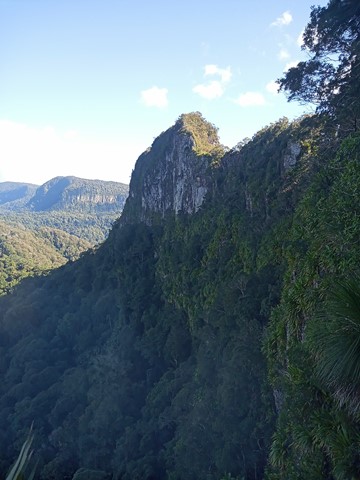
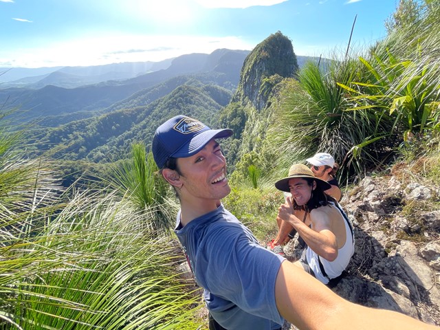
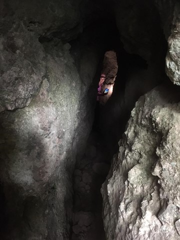
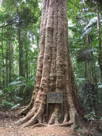
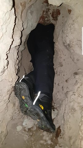
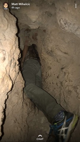
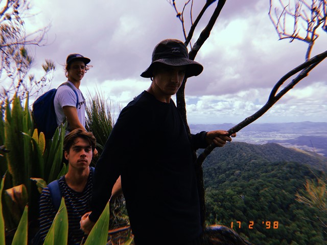
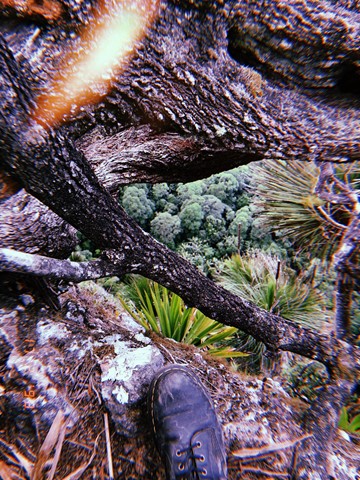
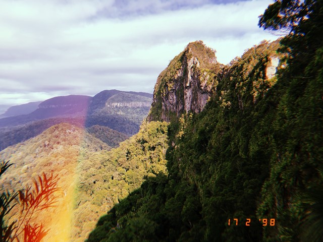
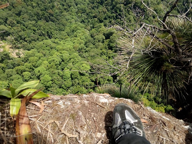
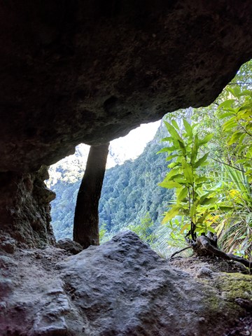
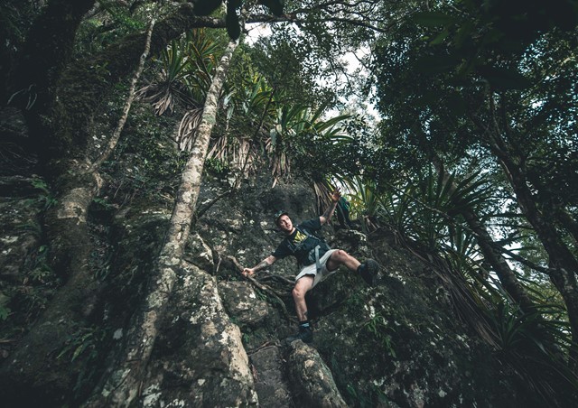
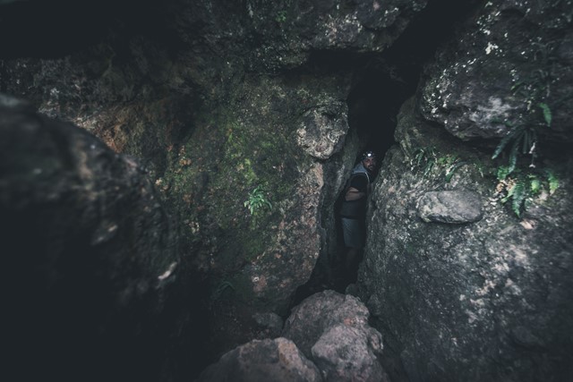
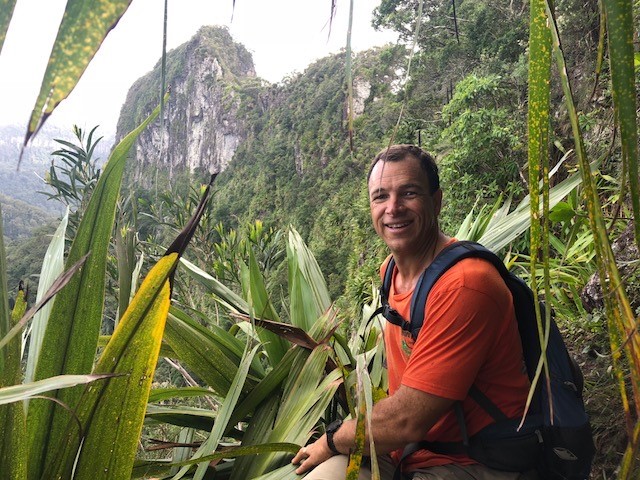
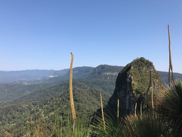
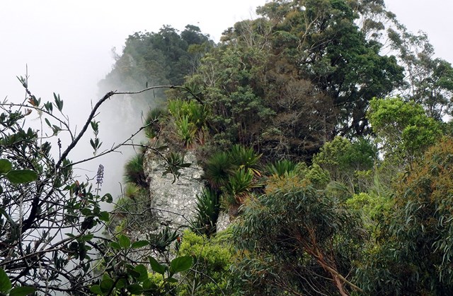
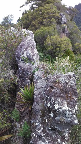
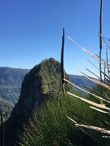
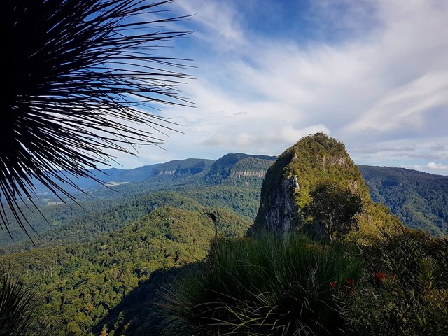
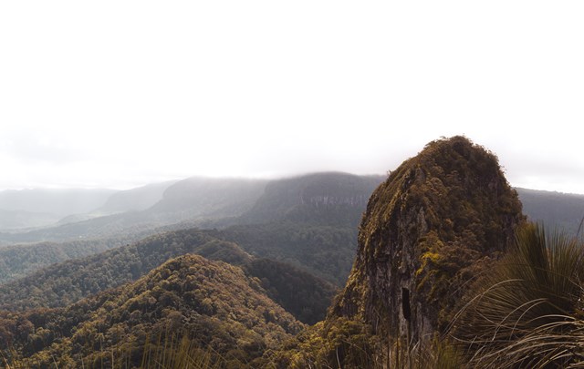
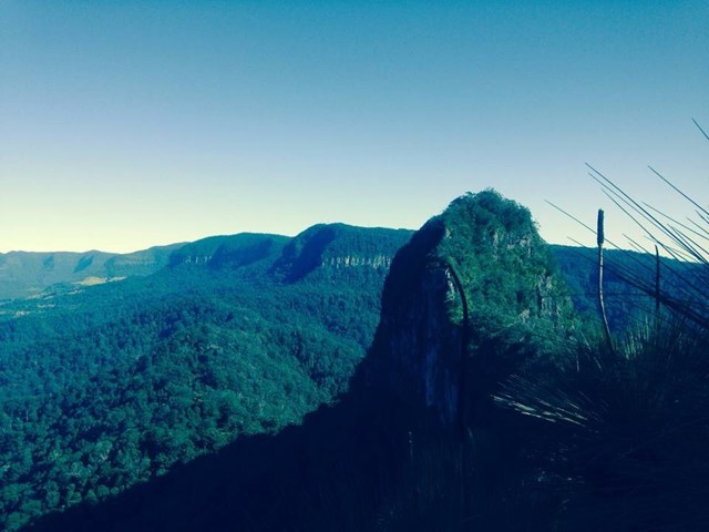
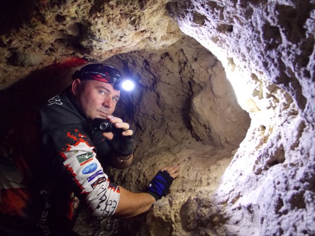
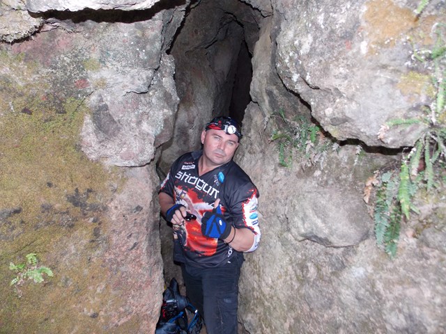
The track winds its way through the rainforest, heading up and downhill along the border fence. You will enter a cleared area with a large tree in it this which was marked by the surveyor Roberts in the 1860's. Keep following the fenceline which will eventually start to become a relatively steep uphill scramble. Walking poles (or some stray sticks) to assist with both the up and decend would be great here if you don't have the fancy onces, pick up a stick early on in the rainforest path before it gets steep (they are usually gone when you start looking on the steep bit). The track is marked in some places with pink ribbons and arrows carved into the timber where it gets a little confusing. After a long uphil climb (notably without further head high grass) veer right and look for a path to a narrow cave. You can Squeeze through the Cave and there is a book to sign on the other side in the opening in the cliff-face - but note that you have to return through the Cave. Keep veering right after a visit to the cave untill you find a steep rocky gully where you need to scramble up the cliff. If you look closely, someone has been kind enough to carve an arrow into a tree trunk to point out where to start climbing. The very first few steps are the hardest. After that it's pretty easy going for the final 5 minutes to the peak / lookout. At the top, on the left of the track is a lookout twoard the west. To the right goes to Boyd's Butt and finally to the sawmill at Cougal Cascades. Turn left and walk to the Summit of East Cougal.
To climb West Cougal locate the track that heads downhill steeply, descend a 3m cliff to the right and a tree to the left. When you reach the saddle. Follow a narrow ridge take the track to the RIGHT. As you climb uphill steeply locate a track that goes to the left. I marked this point for the return. Follow this track uphill to the small clearing at the top. There is a lot of vegetation to push through. there are limited views here.
To return simply retrace your steps.
Permits/Costs
Spring brook Camping $5 in National Parks.
Other References
Rankin: Secrets of the Scenic Rim, Daly:Take a walk in South east Queenslnd.
 Mount Cougal (east and west peaks) (GPX)
 10
10 5
5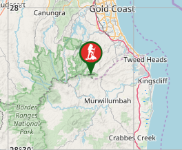
Comments