
Mt Cordeaux
Main Range National Park


Menu
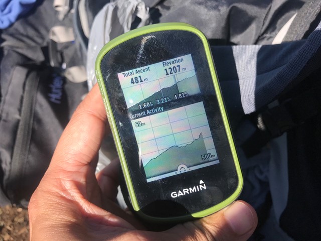
GPS Tracks
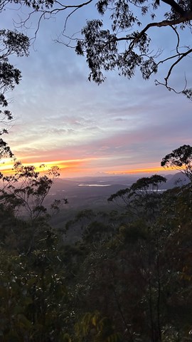
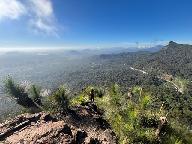
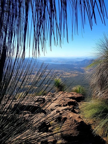
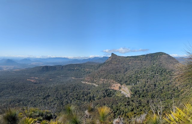
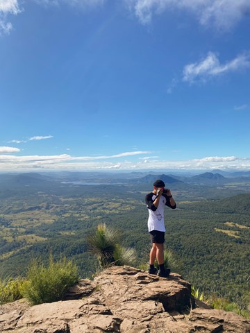
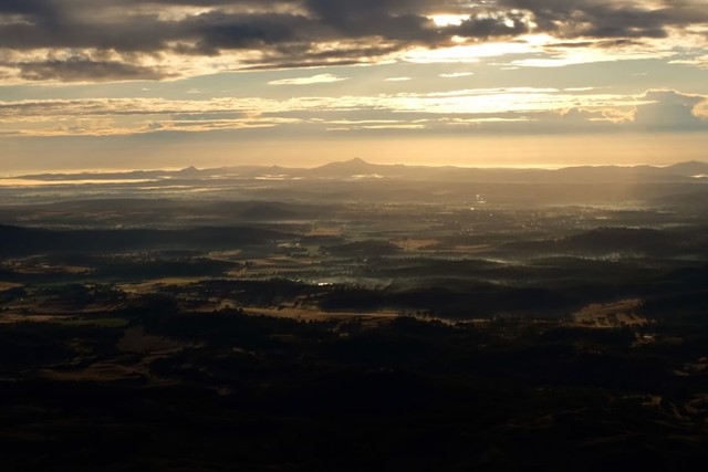
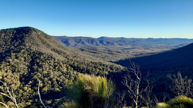
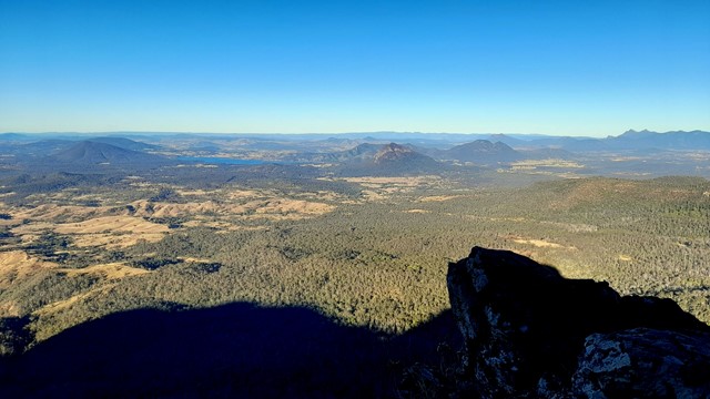
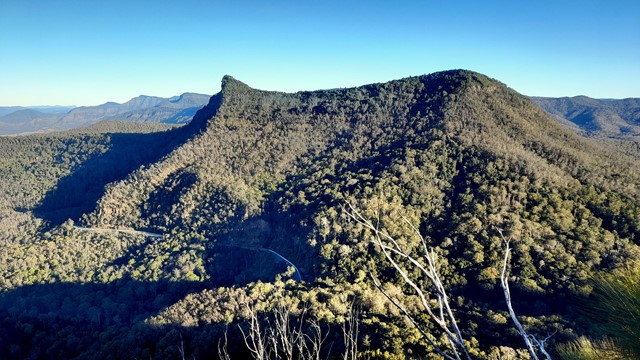

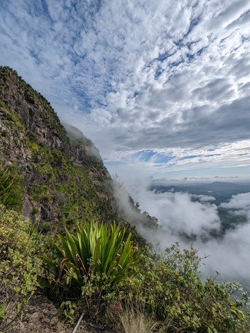


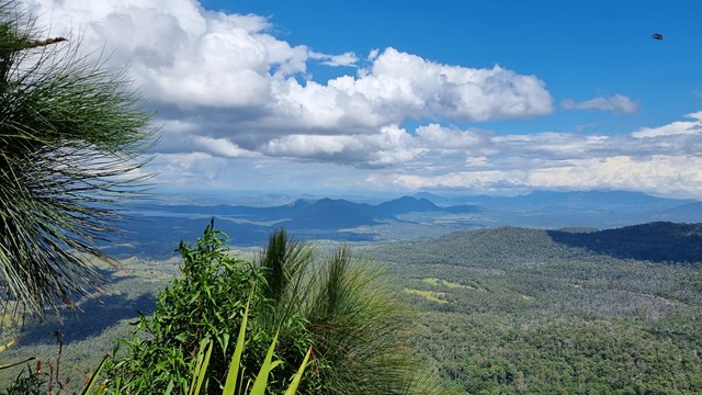

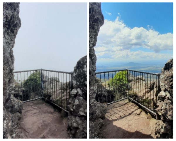
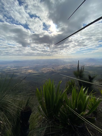
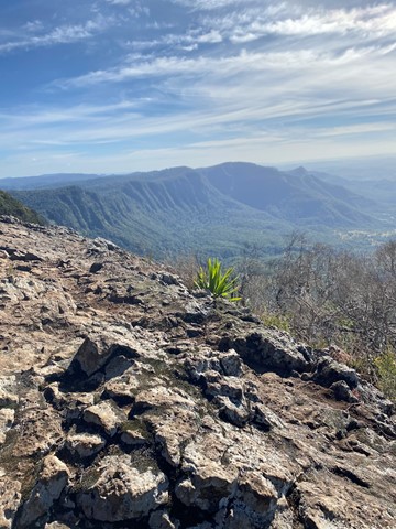

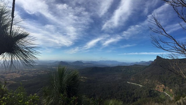
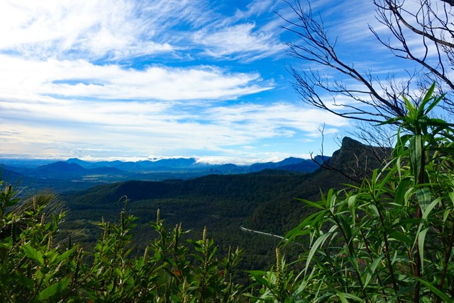


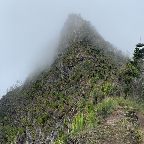
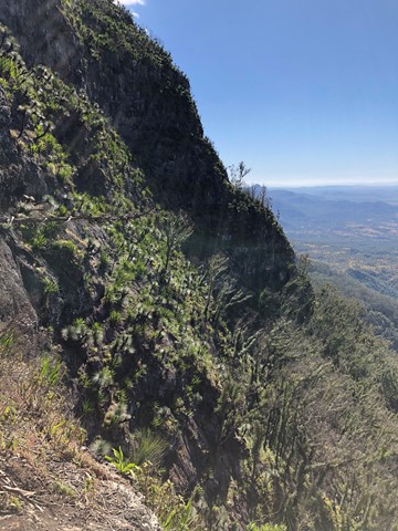


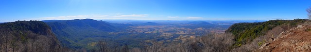
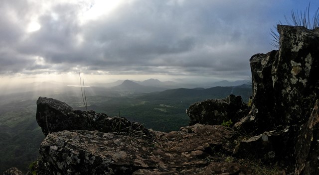
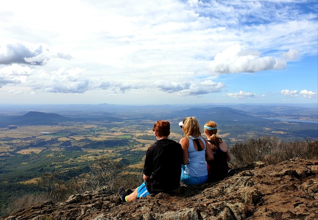

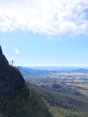
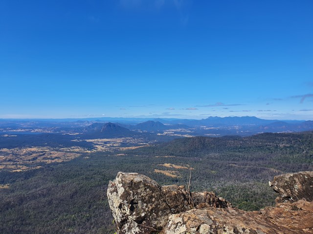


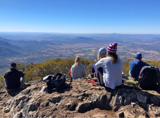
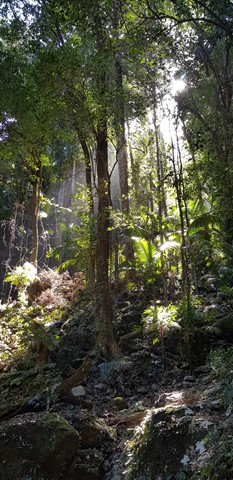
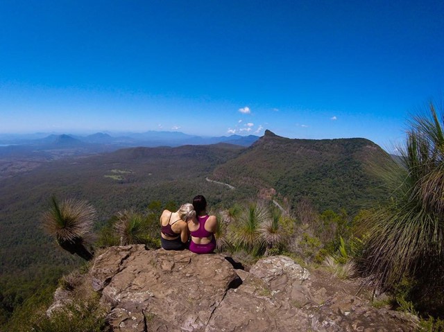
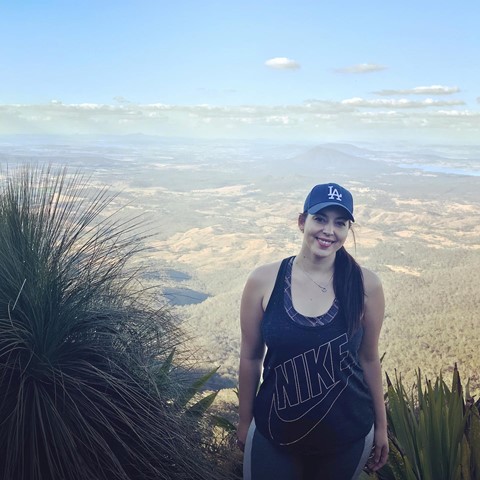
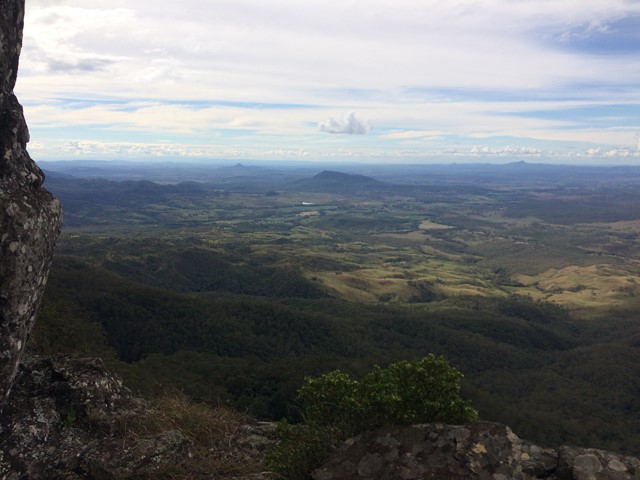

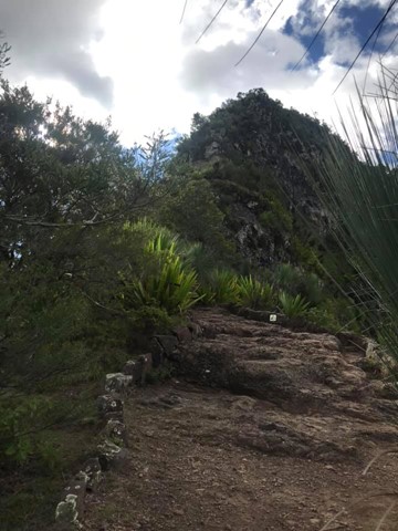
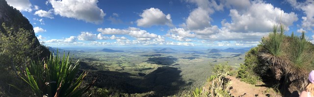
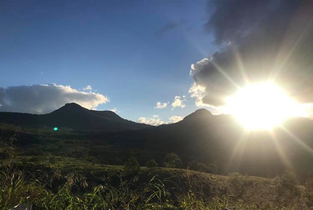
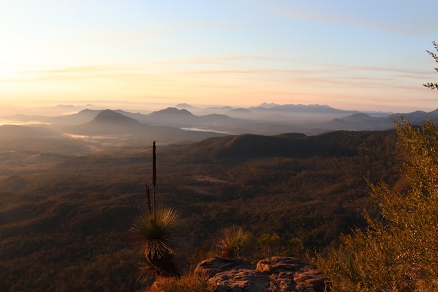

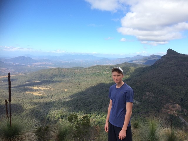
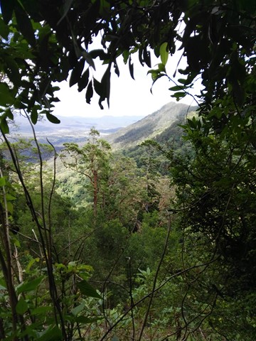
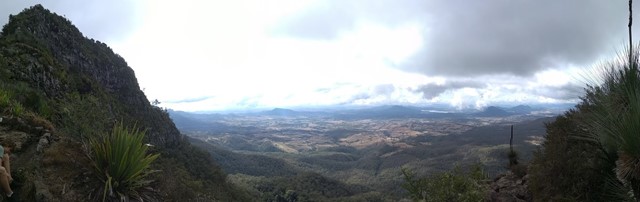
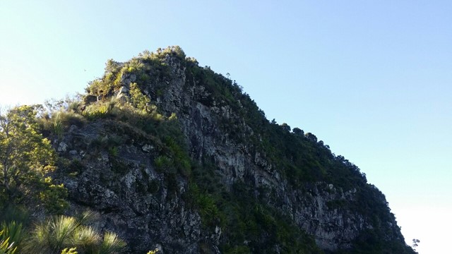
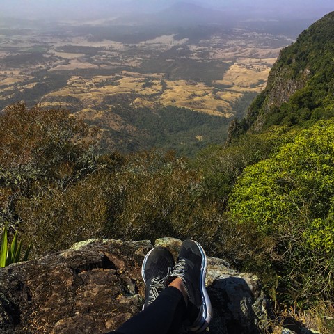
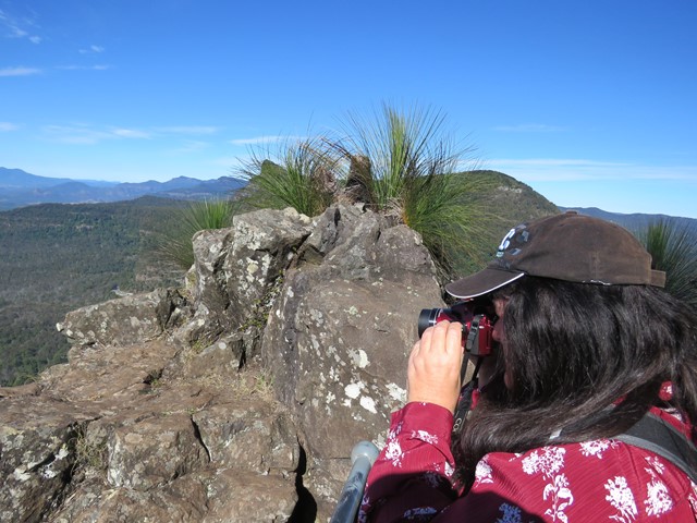
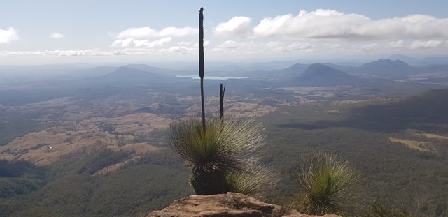
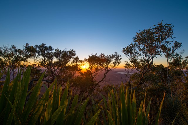
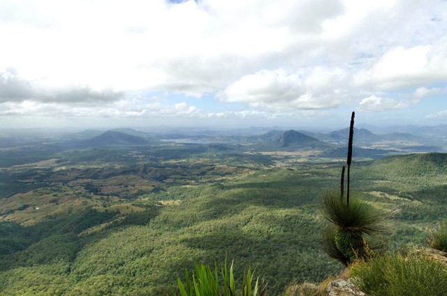

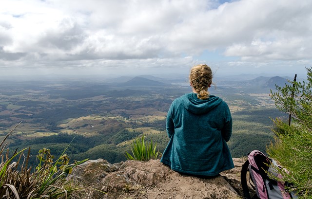
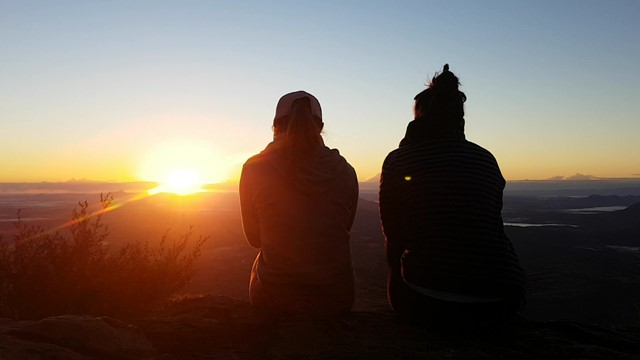
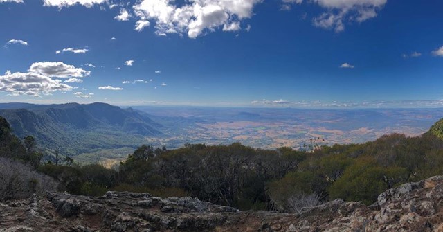
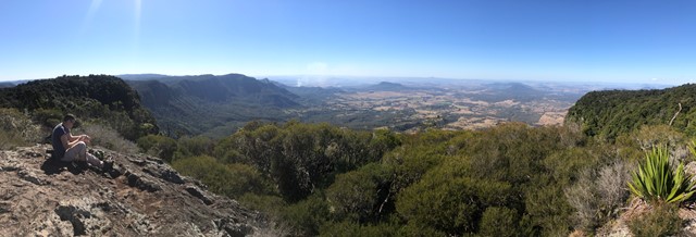
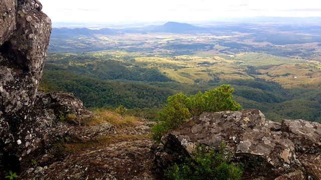
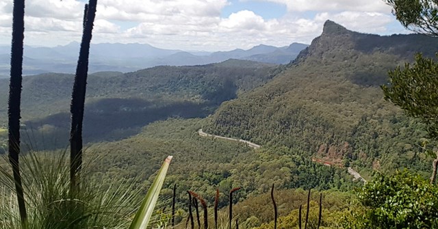
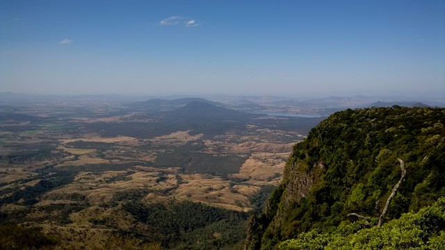
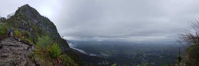
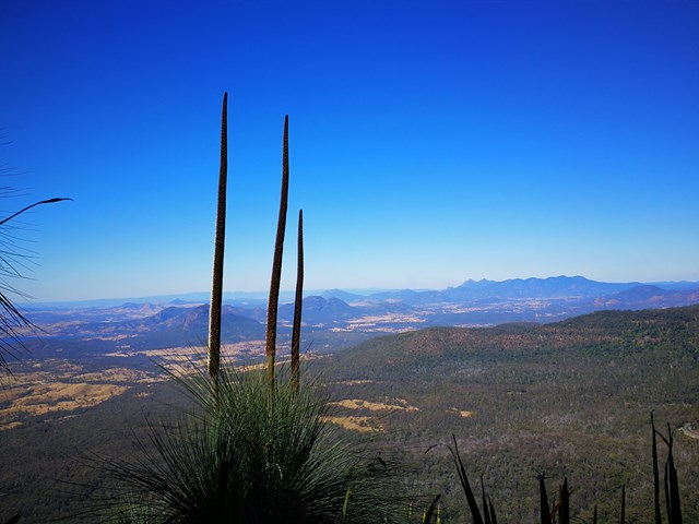
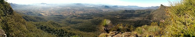
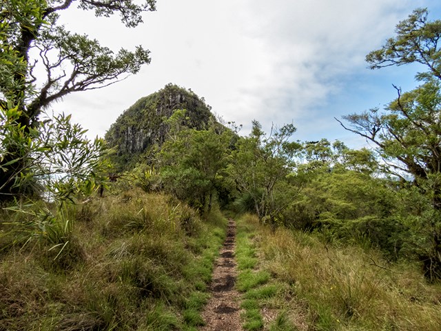
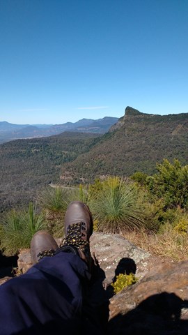
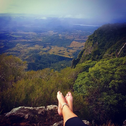
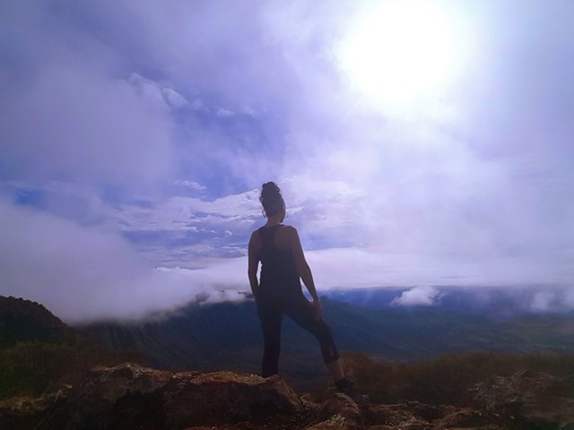

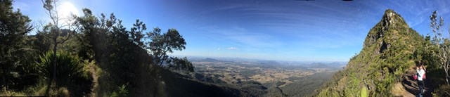
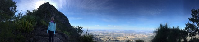
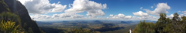
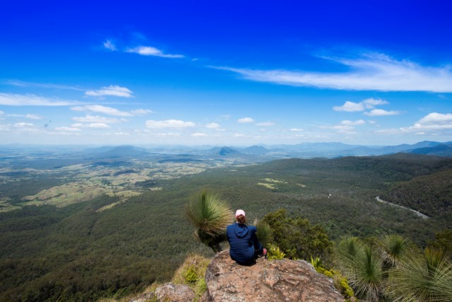
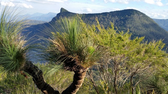
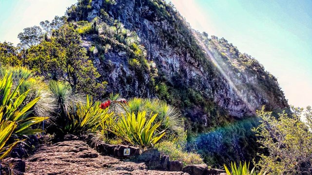
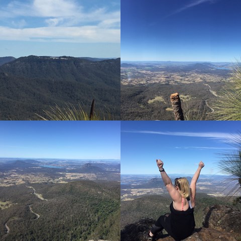
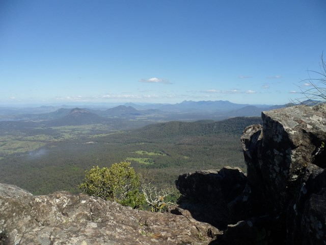

Mt Cordeaux forms the Northern side of Cunningham's Gap. The track ends at a platform just below the main peak and is ideal for viewing South, down the length of Main Range National Park. There are also good views of the Moogerah Peaks, Mt Barney and North to the Mistake Mountains.
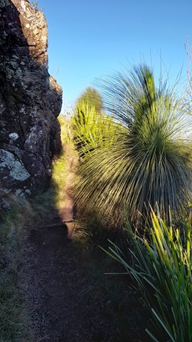
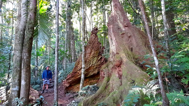
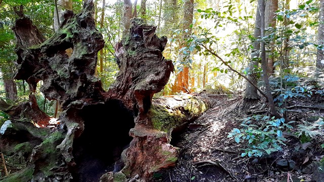
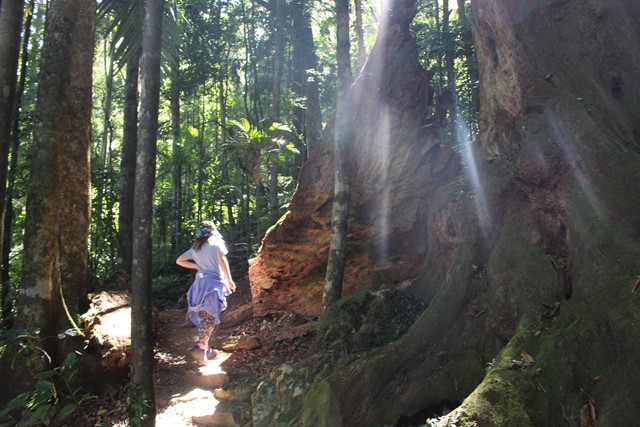
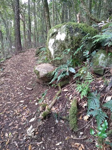
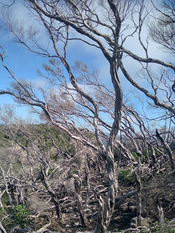
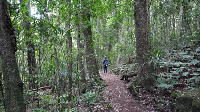
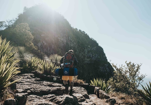
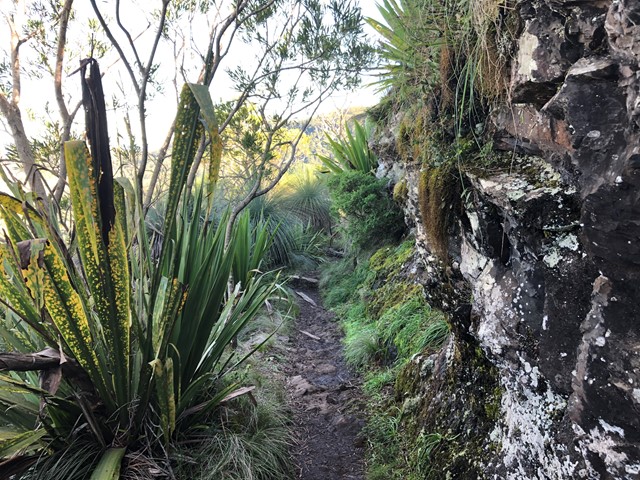
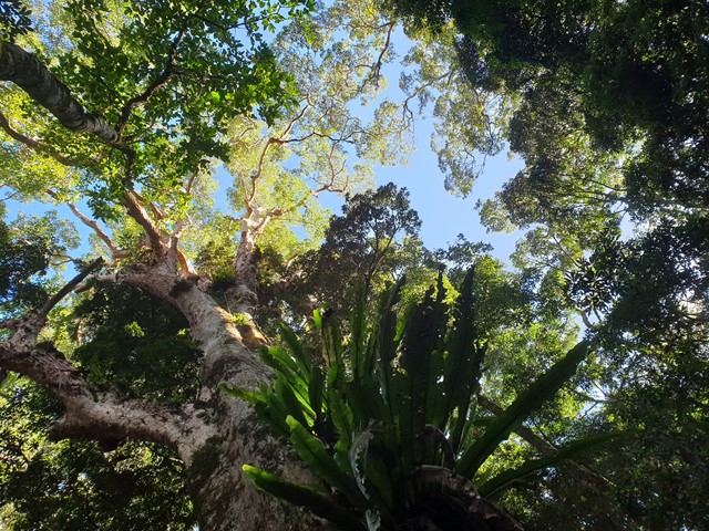
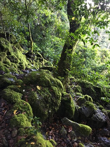
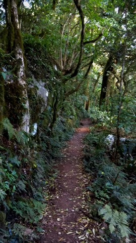
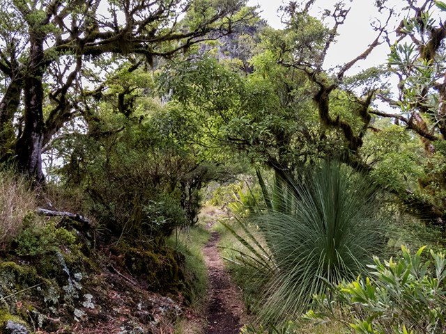
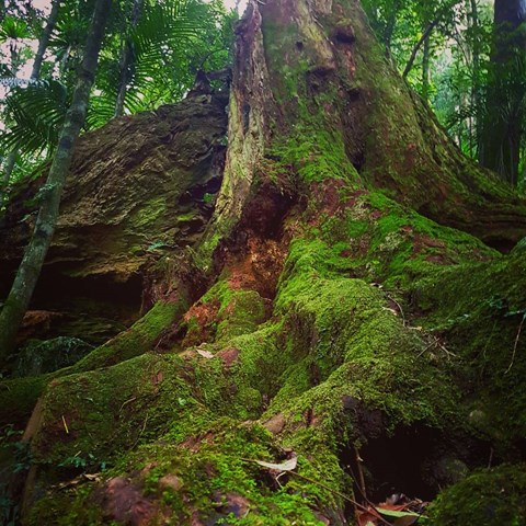
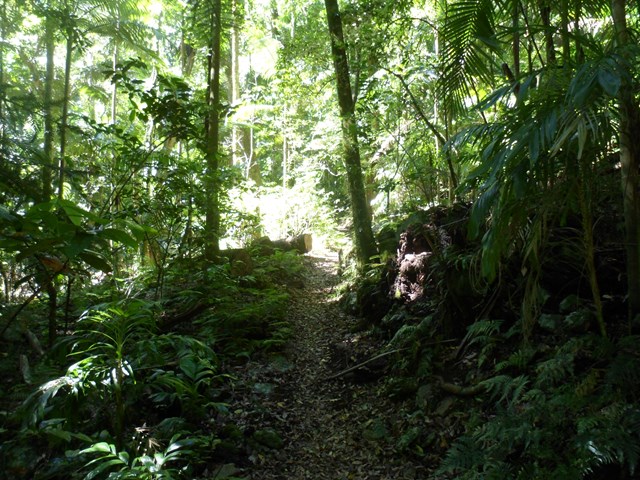
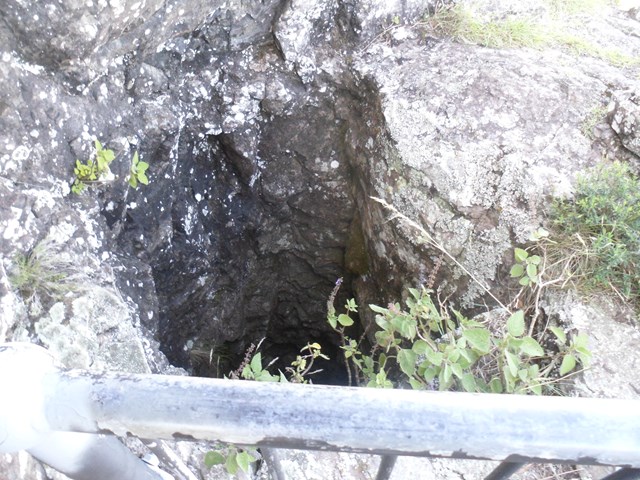
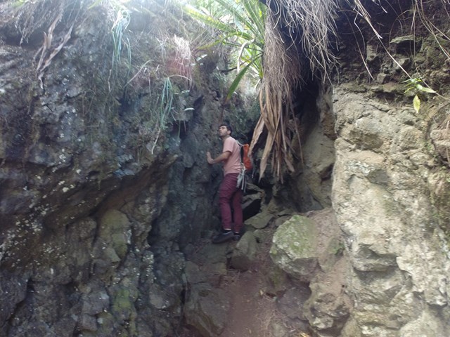
National Parks signage officially lists this walk as Grade 4 difficulty (most of the track is unsealed, with hazards such as tree roots/rocks, muddy sections and occasional tree-falls across the path). Walkers with a moderate level of fitness should find this a comfortable walk and be able to complete it in under the given timeframe.

Getting there
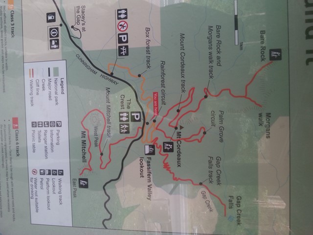
From Brisbane follow the Cunningham Highway towards Cunningham's Gap. Due to road construction, hikers must park at West Gap picnic area, which is west of the gap! Then walk Box Track to the regular trailhead for Mt Cordeaux. This adds an easy 5 km to the entire hike up to Mt Cordeaux and back.
Maps
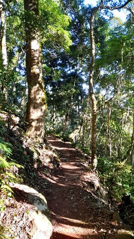
The track is clearly marked so no map is required, however the Sunmap Cunninghams Gap sheet covers the area.
Further Walks
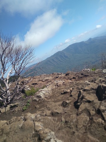
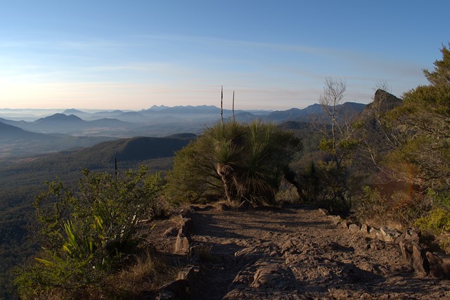
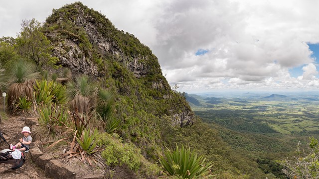
The Mt Cordeaux track continues on to Bare Rock/Morgan's Walk and is worth the effort if you have the time. Allow 4.5 hours to complete the full track. The Bare/Rock Morgan's Walk is a further 2.5km from near the summit of Mt Cordeaux
 Mount Cordeaux (GPX)
 6.8
6.8 2.5
2.5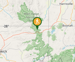
Comments