
Araucaria Falls
Main Range National Park


Menu
GPS Tracks
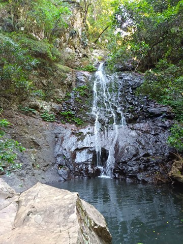
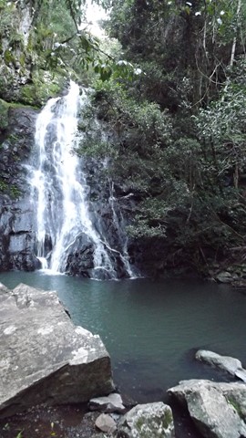
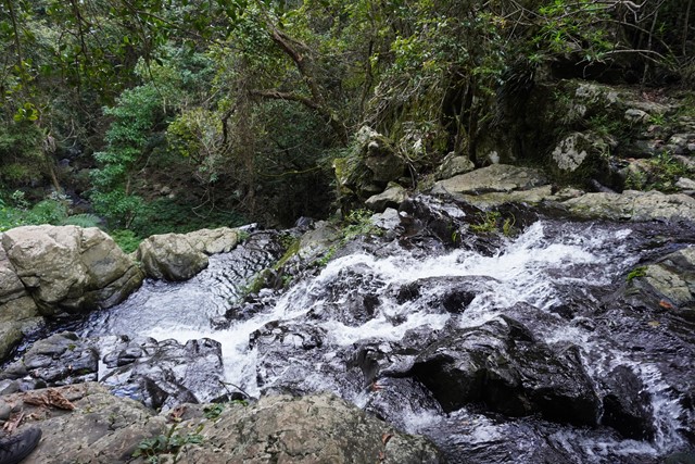
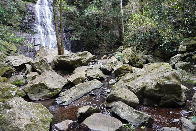


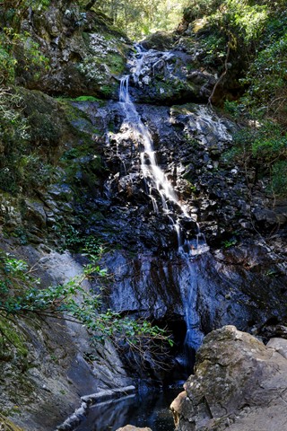

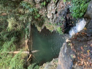
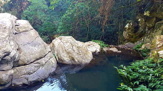
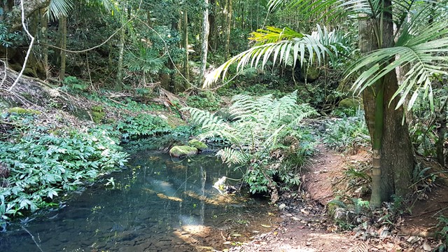

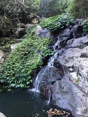
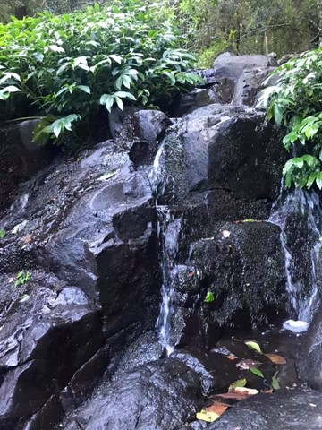
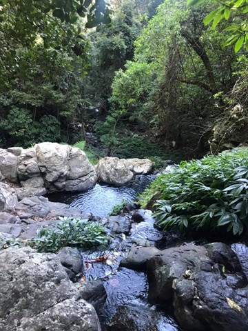

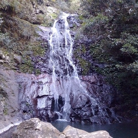

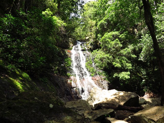
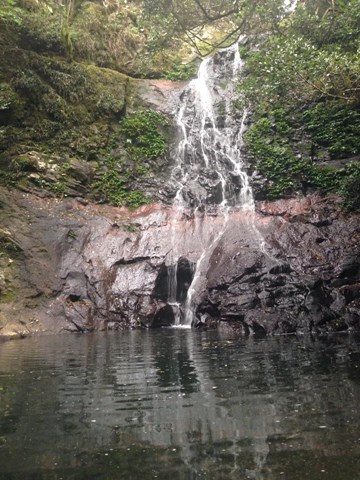
Wind gracefully along a gully lined with brush box and gently climb to this small but spectacular waterfall. Cross the creek at the top before descending sharply to the deep pool below.

Getting there:
Pass through Cunninghams Gap on Cunningham Highway. Turn right at Goomburra Road. Turn right onto Inverramsay Road at the Goomburra Hall and follow this road. The road crosses the creek a number of times as it passes a number of private campgrounds (Gordon Country).
From the New England Highway turn off the highway 3km south of Allora onto Inverramsay Road, follow Inverramsay Road, then Forestry Reserve Road east for about 35km to the park entrance.
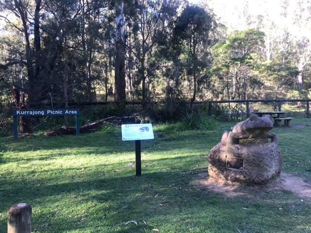
When you reach the National Park boundary take the left branch (Lookout Road). Kurrajong Picinic area is on the right, then cross the creek once more. This crossing isn't sealed but can handle conventional cars as long as the creek isn't running too high - there is no height sign so pre-walk the creek crossing first.
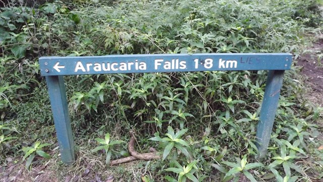
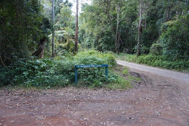
Araucaria Falls walk is on the left about 5km on Lookout Road.
Maps:
Route/Trail notes:
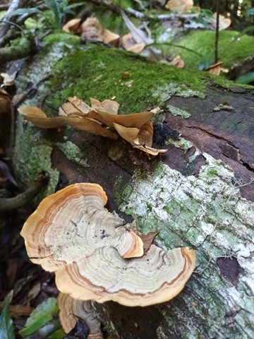
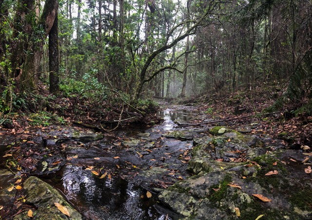
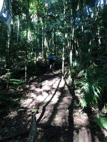
The trail is very well worn and clear to follow, though being dense rainforest the path can become very muddy after heavy rain. The first kilometre is level, before you start to descend to the falls. The trail crosses the top of the falls. Once at the top don't forget to continue up the stairs otherwise you'll miss out on the view. Once across the other side of the falls, it descends very quickly to the base of the falls. There are exposed tree roots and rock steps used in this section.
Permits/Costs:
None.
Other References/Comments:
There are camping option at Gordon Country and many other walks in this area.
 Araucaria Falls (KML)
 3.8
3.8 105
105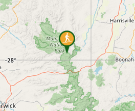
Comments