
Menu
Popular Walks
-
Mt Ngungun
(1156 ticks) -
Mount Coolum
(872 ticks) -
Mt Cordeaux
(668 ticks) -
Twin Falls Circuit
(636 ticks) -
Purling Brook Falls Circuit
(611 ticks)
Summary
The Sunshine State
Queensland has a wealth of bushwalking opportunities including multiple World Heritage Listed rainforests such as the Daintree and Lamington National Park, great coastal and island parks like Fraser Island and Hinchinbrook Island.
Popular Walks
-
Mt Ngungun
(1156 ticks) -
Mount Coolum
(872 ticks) -
Mt Cordeaux
(668 ticks) -
Twin Falls Circuit
(636 ticks) -
Purling Brook Falls Circuit
(611 ticks)
Sub-Regions
Other Information
World Heritage Areas
- Fraser Island
- Gondwana Rainforests of Australia (Lamington NP, Springbrook NP, Mount Chinghee NP, Mount Barney NP, Main Range NP)
- Great Barrier Reef
- Riversleigh
- Wet Tropics (Daintree NP, Barron Gorge NP, Cedar Bay NP, Girringun NP, Wooroonooran NP)
Contact details
Queensland Parks and Forest:
https://parks.des.qld.gov.au/
Regions
The link below provides a region map of QLD as a reference to what council zones are included in the 7 geographic regions of QLD.
https://en.wikipedia.org/wiki/Regions_of_Queensland#/media/File:Qld-regions-map.gif
- Far North Queensland
- North Queesnland
- Central Queensland
- Mackay, Isaac and Whitsunday
- Wide Bay Burnett
- Darling Downs South West
- South East Queensland
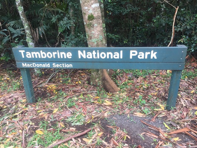
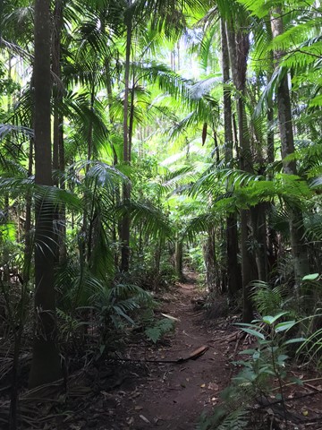
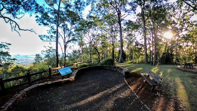
Walks in Tamborine National Park
(South East Queensland)
 1.2
km
return
1.2
km
return
 45
mins
45
mins
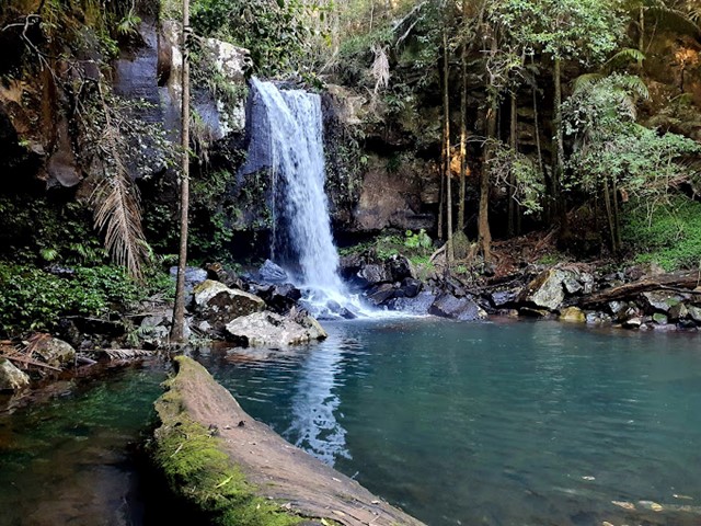
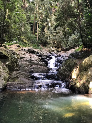
Curtis Falls
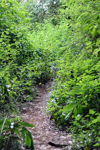
This enchanting walk begins in wet eucalypt forest beneath towering flooded gums. Notice a drop in temperature as the wet eucalypt forest merges into lush rainforest. Beautiful crows nest and staghorn ferns can be seen in the canopy above. The rock pool and surrounding basalt rock face provide important glow-worm and platypus habitat.
 4.3
km
return
105
mins
4.3
km
return
105
mins
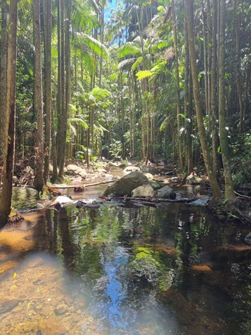
Jenyns Circuit
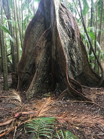
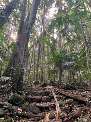
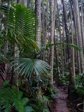
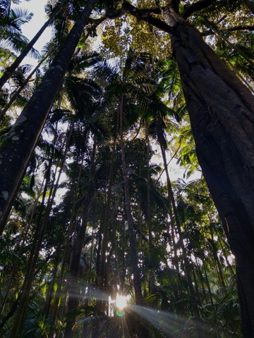
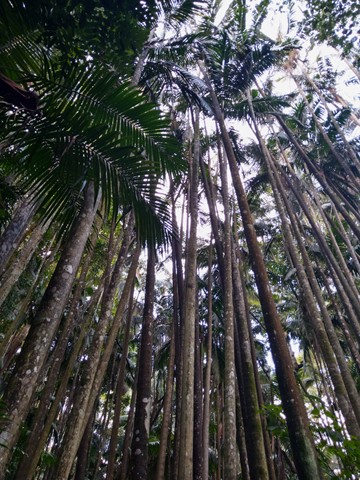
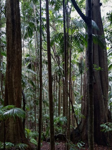
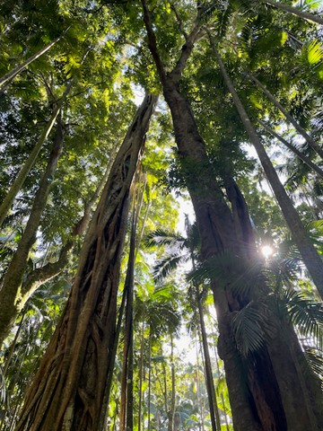
Palm Grove is named after the piccabeen palm that grows abundantly in this section. Explore the lush and diverse subtropical rainforest. Discover rainforest with emergent strangler figs, distinctively-buttressed yellow carabeens and fascinating fungi along the way.
Jenyns circuit drop from 530m to 340m and leads out into drier eucalyptus forest and open canopy. Here hoop pines, brush box and grey gums abound and you will pass through a grove of ancient cycads.
 2.4
km
return
75
mins
2.4
km
return
75
mins
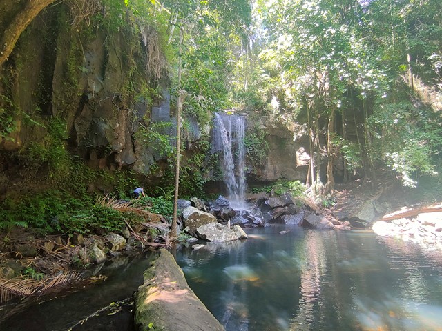
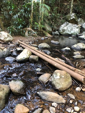
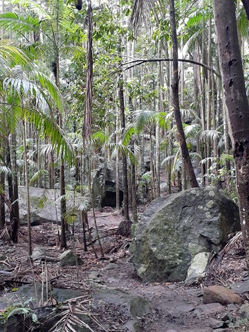
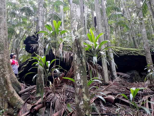
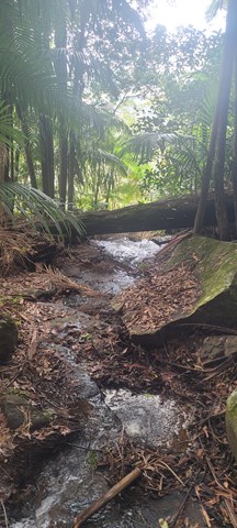
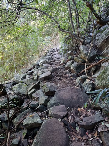
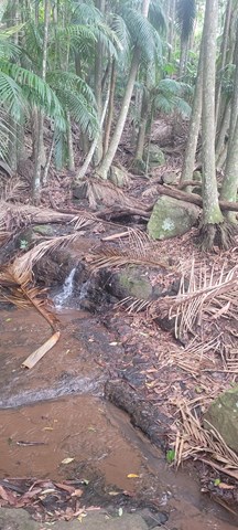
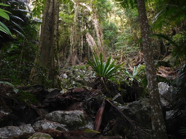
Lower Creek Circuit
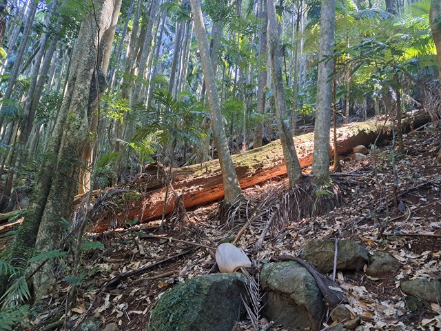
Branching off the Curtis Falls track, the Lower Creek circuit crosses Cedar Creek before passing a giant strangler fig.
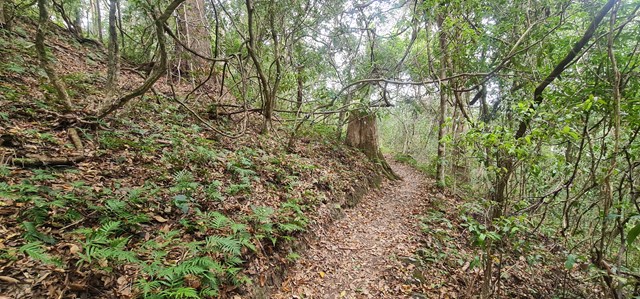
Beyond the strangler fig, the track has an uneven surfaces, creek crossings that involve rock hopping and natural hazards are likely to be present. Notice basalt boulders and columns on this creek-side rainforest walk.
 1.2
km
return
1
hr
1.2
km
return
1
hr
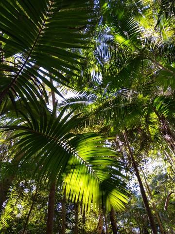
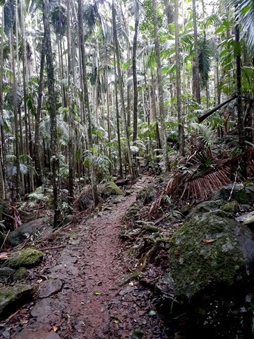
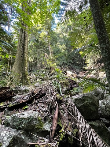
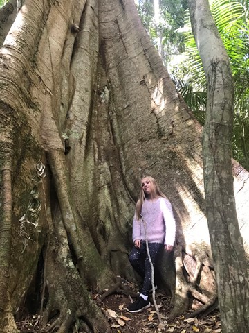
MacDonald Rainforest Circuit
This precious tract of subtropical rainforest was named after Miss Jessie MacDonald, who generously donated part of this area to become a National Park in 1933.
This short, easy grade walk features towering strangler figs and lush groves of piccabeen palms, just south of the Tamborine Botanic Gardens.
 2.5
km
return
1
hr
2.5
km
return
1
hr
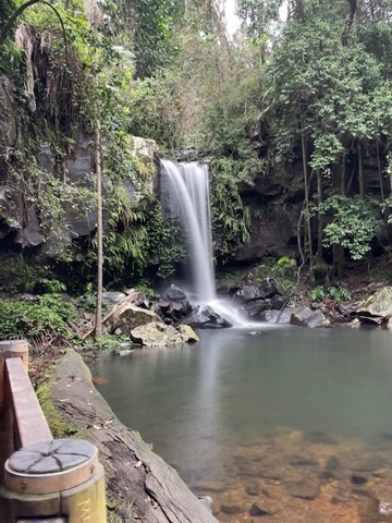
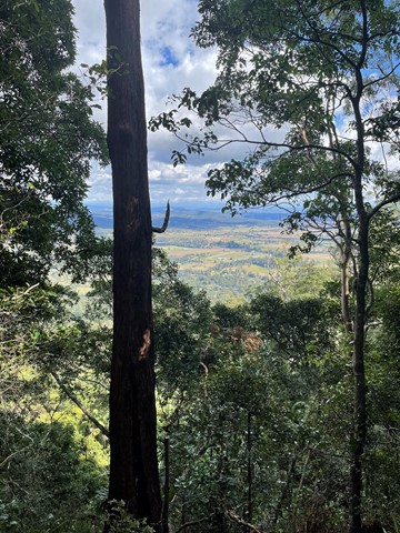
Sandy Creek Circuit
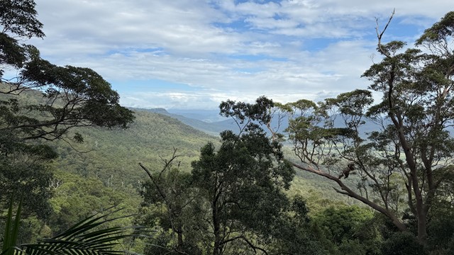
This walk features lush rainforest with towering trees emerging through the canopy and at the falls, eucalypt forest. It follows Sandy Creek out to the western lookout of Cameron Falls, where on a clear day you can enjoy views across the valley to Mount Flinders and the southern suburbs of Brisbane.
This Track travels close to steep cliff edges, so stay on the designated track and behind the fences.
The falls are aligned such that under the correct conditions a rainbow will appear. It has been seen in the afternoon in late July.
Easy and accessible for kids.
 5.4
km
return
4
hrs
5.4
km
return
4
hrs
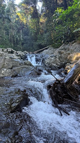
Sandy Creek to Cameron Falls, Mt Tamborine
A great Southeast Qld creek walk, with some beautiful falls, only an hour from Brisbane.
2
km
return
90
mins
The Shelf Road Environmental Offset Loop & Falls
A loop through a revegetating section of bush with a side trail to some falls. Note the side section is well used though passes through private property.
2.6
km
return
2
hrs
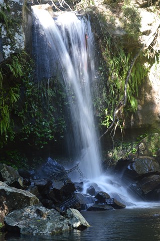
Witches Chase
Witches Falls is Queensland’s first National Park, declared in 1908. This track leads through rainforest with large red cedar trees and eucalypt forest to Witches Falls lookout. The waterfall only flows after recent rain and is best viewed from the lookout platform.
Return by the same route, or extend your walk by 3.1km by completing the Witches Falls Circuit, which starts just beyond the lookout.
 3.4
km
return
75
mins
3.4
km
return
75
mins
Witches Falls
This is an easy walk. In the afternoon this walk is prone to high temps in the exposed areas. The conditions can change extremely fast always take rain protection.