
Menu
Popular Walks
-
Mt Ngungun
(1156 ticks) -
Mount Coolum
(872 ticks) -
Mt Cordeaux
(668 ticks) -
Twin Falls Circuit
(636 ticks) -
Purling Brook Falls Circuit
(611 ticks)
Summary
The Sunshine State
Queensland has a wealth of bushwalking opportunities including multiple World Heritage Listed rainforests such as the Daintree and Lamington National Park, great coastal and island parks like Fraser Island and Hinchinbrook Island.
Popular Walks
-
Mt Ngungun
(1156 ticks) -
Mount Coolum
(872 ticks) -
Mt Cordeaux
(668 ticks) -
Twin Falls Circuit
(636 ticks) -
Purling Brook Falls Circuit
(611 ticks)
Sub-Regions
Other Information
World Heritage Areas
- Fraser Island
- Gondwana Rainforests of Australia (Lamington NP, Springbrook NP, Mount Chinghee NP, Mount Barney NP, Main Range NP)
- Great Barrier Reef
- Riversleigh
- Wet Tropics (Daintree NP, Barron Gorge NP, Cedar Bay NP, Girringun NP, Wooroonooran NP)
Contact details
Queensland Parks and Forest:
https://parks.des.qld.gov.au/
Regions
The link below provides a region map of QLD as a reference to what council zones are included in the 7 geographic regions of QLD.
https://en.wikipedia.org/wiki/Regions_of_Queensland#/media/File:Qld-regions-map.gif
- Far North Queensland
- North Queesnland
- Central Queensland
- Mackay, Isaac and Whitsunday
- Wide Bay Burnett
- Darling Downs South West
- South East Queensland

 9
km
return
9
km
return
 3
hrs
3
hrs
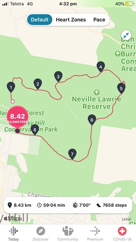
Buhot Creek Circuit
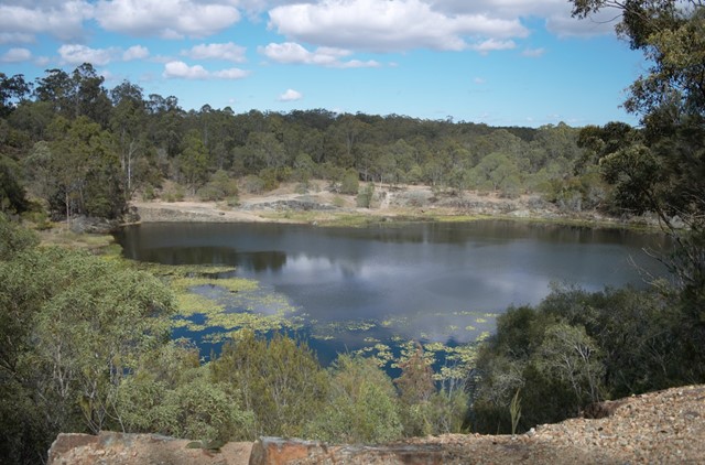
This trail starts from the upper day-use area and allows visitors to explore Daisy Hill Conservation Park and adjoining Neville Lawrie Reserve. Take time by tranquil waterholes and enjoy views from the old quarry.
 800
m
return
20
mins
800
m
return
20
mins
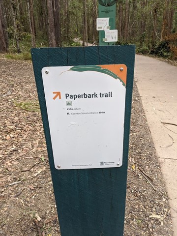
Paperbark Trail
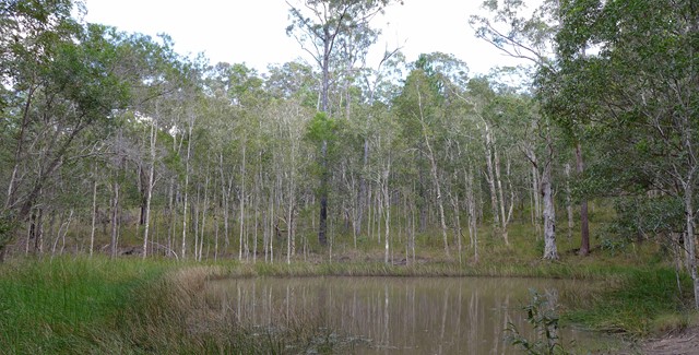
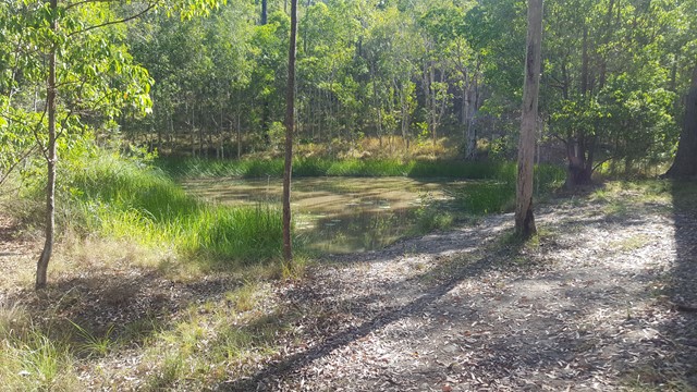
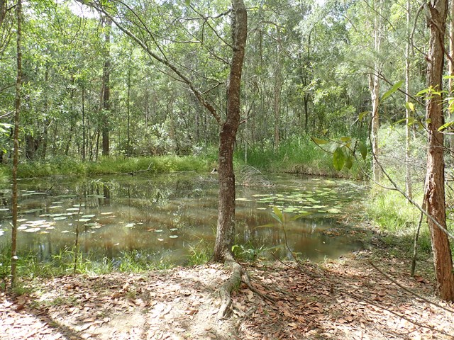
sealed loop walk with boardwalk section and many seating spots to observe the swamp like surroundings.
 4
km
return
1
hr
4
km
return
1
hr
Spotted Gum Trail
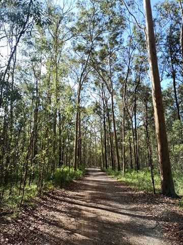
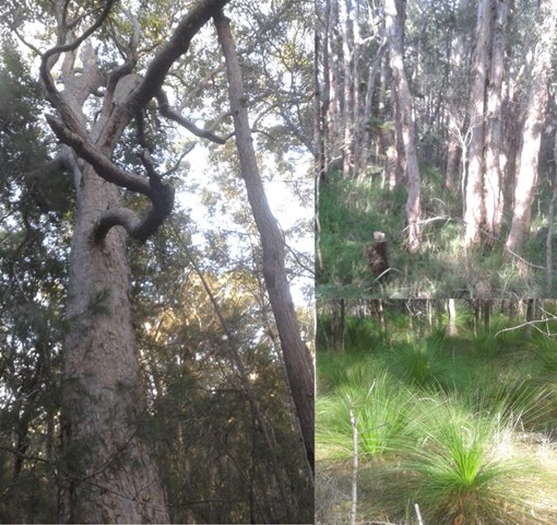
A fairly level four wheel drive track, so is quite an easy going walk, but a few hilly bits. It takes you through Eucalyptus forest.
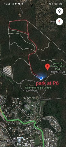
For best parking, park at the top right "corner" of the Daisy Hill Rd parking loop at P6. There is a small toilet at P7 about 100m south from P6 on the same loop.
The track can also be accessed at its top left side from Underwood Road.
This loop track can be accessed from the Tree Discovery Trail. There is a track that branches links the two.
4km approx. 1hr
 5.7
km
return
90
mins
5.7
km
return
90
mins
Stringybark Circuit to Daisy Hill Quarry
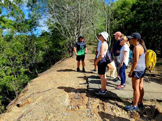
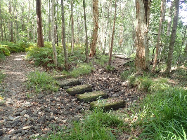
This is a well-rounded walk through the Daisy Hill Conservation Park bushland out to the Old Quarry. Note, this is a shared trail for walkers, bikes and horses. A pleasant walk with a few easy hills. From the car park at Daisy Hill Road the route follows mostly unsealed/gravel road until you reach the quarry.
 800
m
return
30
mins
800
m
return
30
mins
Tree Discovery Trail
A short walk through eucalyptus forest with information boards along the way talking about how the eucalyptus forest works. There are quite a few steps, but the walk isn't too strenuous
Walks in Eumundi Conservation Park
(South East Queensland)
4.7
km
return
75
mins
Blackbutt Trail
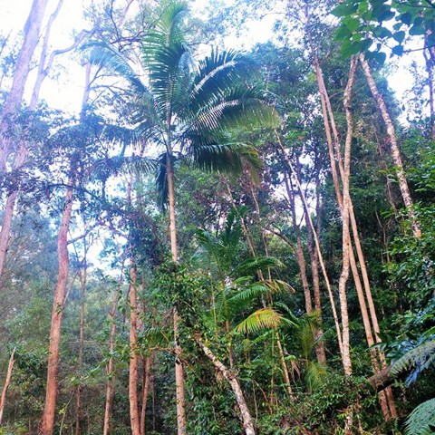
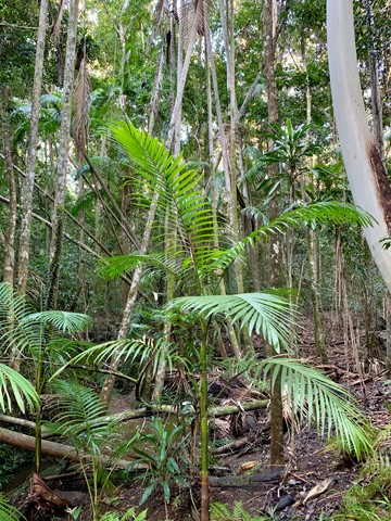
A hilly landscape with grassy open forest features in this park. Along creeks and sheltered gullies, tall wet eucalypt forest and rainforest grows. Horseriders, mountain bike riders and walkers can enjoy the tranquillity of this park on shared trails, natural surfaces and gentle gradients.
 4.3
km
return
1
hr
4.3
km
return
1
hr
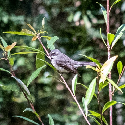
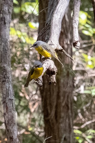
Figbird Trail
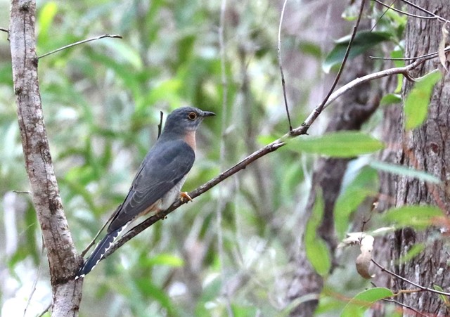
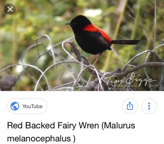
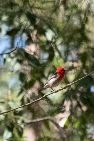
Nice easy walk. Stop and watch - plenty of great birds around.
 3.6
km
return
1
hr
3.6
km
return
1
hr
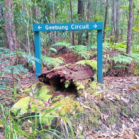
Geebung Circuit
A hilly landscape with grassy open forest features in this park. Along creeks and sheltered gullies, tall wet eucalypt forest and rainforest grows. Horse riders, mountain bike riders and walkers can enjoy the tranquillity of this park on shared wide trails, natural surfaces and gentle gradients.
 10.2
km
return
2
hrs
10.2
km
return
2
hrs
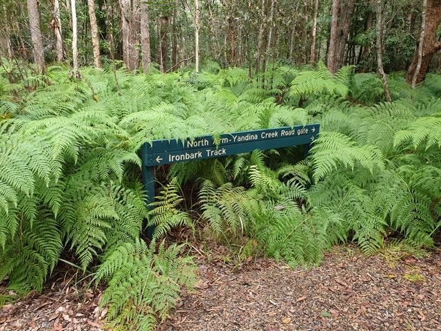
Ironbark Trail
A hilly landscape with grassy open forest features in this park. Along creeks and sheltered gullies, tall wet eucalypt forest and rainforest grows. Horse riders, mountain bike riders and walkers can enjoy the tranquillity of this park on shared trails, natural surfaces and gentle gradients.
 14
km
return
4
hrs
14
km
return
4
hrs
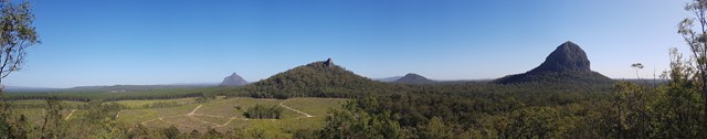
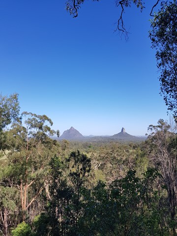
Beerburrum to Tibrogargan Circuit and return
Walk from Beerburrum to the Soldiers Settlers Track to Trachyte Circuit to Tibrogargan Circuit to Matthew Flinders Park to Steve Irwin Way to Beerburrum