
Menu
Popular Walks
-
Mt Ngungun
(1156 ticks) -
Mount Coolum
(872 ticks) -
Mt Cordeaux
(668 ticks) -
Twin Falls Circuit
(636 ticks) -
Purling Brook Falls Circuit
(611 ticks)
Summary
The Sunshine State
Queensland has a wealth of bushwalking opportunities including multiple World Heritage Listed rainforests such as the Daintree and Lamington National Park, great coastal and island parks like Fraser Island and Hinchinbrook Island.
Popular Walks
-
Mt Ngungun
(1156 ticks) -
Mount Coolum
(872 ticks) -
Mt Cordeaux
(668 ticks) -
Twin Falls Circuit
(636 ticks) -
Purling Brook Falls Circuit
(611 ticks)
Sub-Regions
Other Information
World Heritage Areas
- Fraser Island
- Gondwana Rainforests of Australia (Lamington NP, Springbrook NP, Mount Chinghee NP, Mount Barney NP, Main Range NP)
- Great Barrier Reef
- Riversleigh
- Wet Tropics (Daintree NP, Barron Gorge NP, Cedar Bay NP, Girringun NP, Wooroonooran NP)
Contact details
Queensland Parks and Forest:
https://parks.des.qld.gov.au/
Regions
The link below provides a region map of QLD as a reference to what council zones are included in the 7 geographic regions of QLD.
https://en.wikipedia.org/wiki/Regions_of_Queensland#/media/File:Qld-regions-map.gif
- Far North Queensland
- North Queesnland
- Central Queensland
- Mackay, Isaac and Whitsunday
- Wide Bay Burnett
- Darling Downs South West
- South East Queensland
Walks in South East Queensland

 3
km
return
3
km
return
 45
mins
45
mins
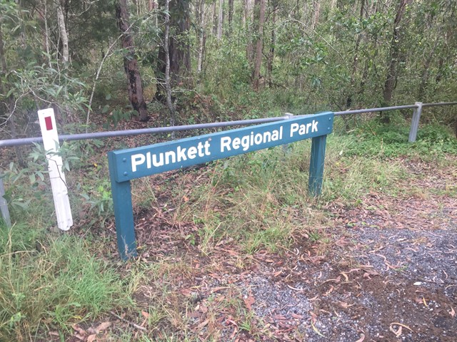
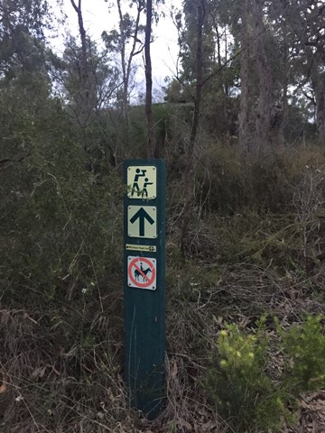
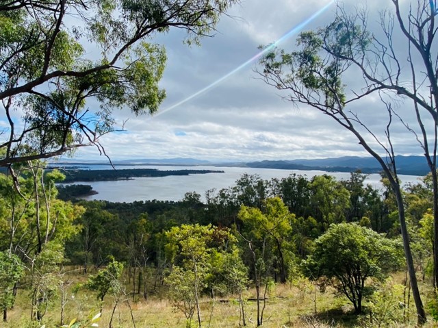
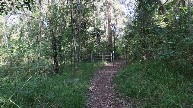
Wickham National Park High Point
A walk from the end of Flesser Road through Plunkett Conservation Park and into Wickham National Park and to the highest point in the National Park.
 7
km
return
2
hrs
7
km
return
2
hrs
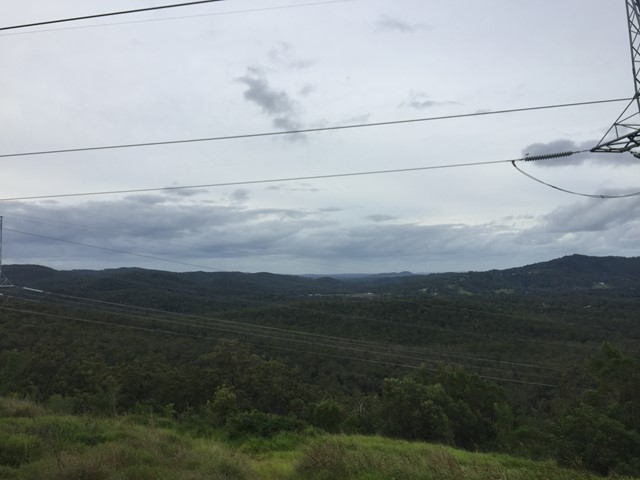
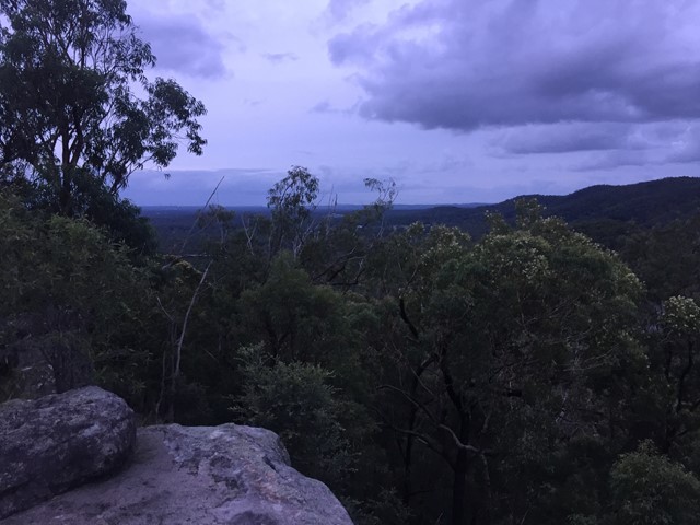
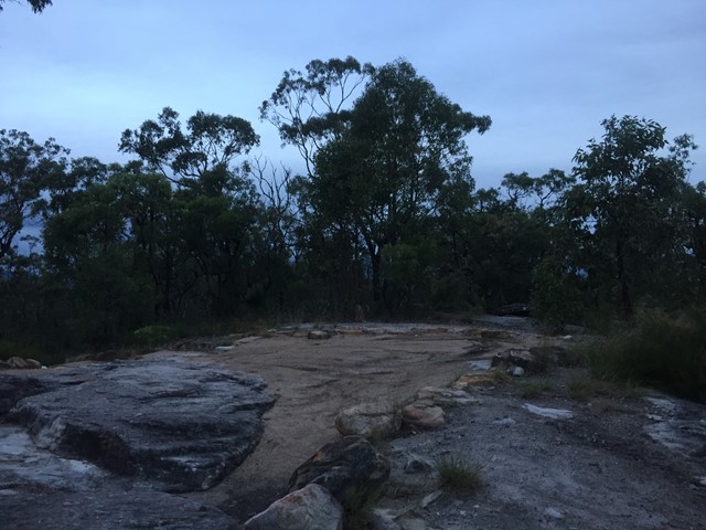
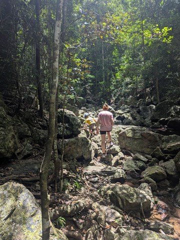
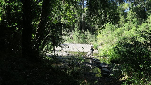
Wickham Peak - Calytrix Circuit (Wickham Timber Reserve)
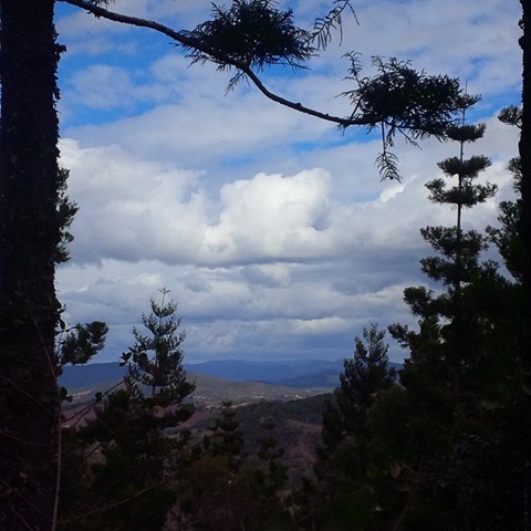
A sandstone adventure that climbs to the top of Wickham Peak which gives views of Brisbane City to the North and Mt Barney to the South. Once on top of the ridge the trail traverses heath country which has wildflower displays in Spring.
This walk is best in early morning or late afternoon in the summer months as it can be extremely hot in the middle of the day.
 13
km
return
13
km
return
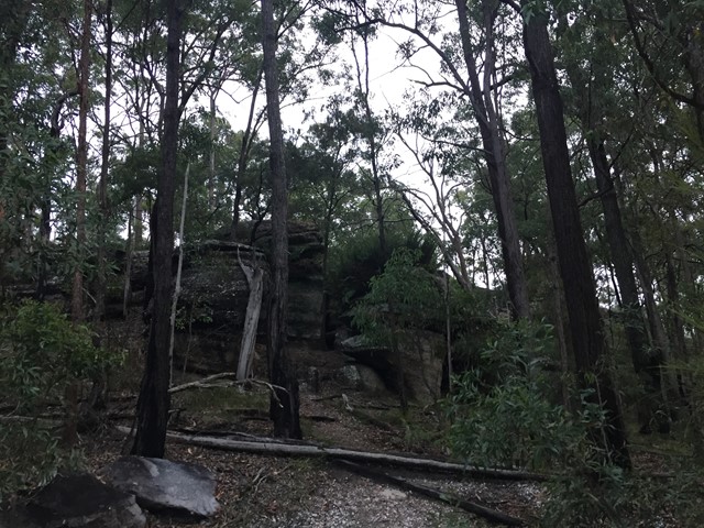
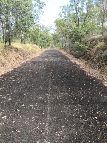
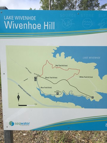
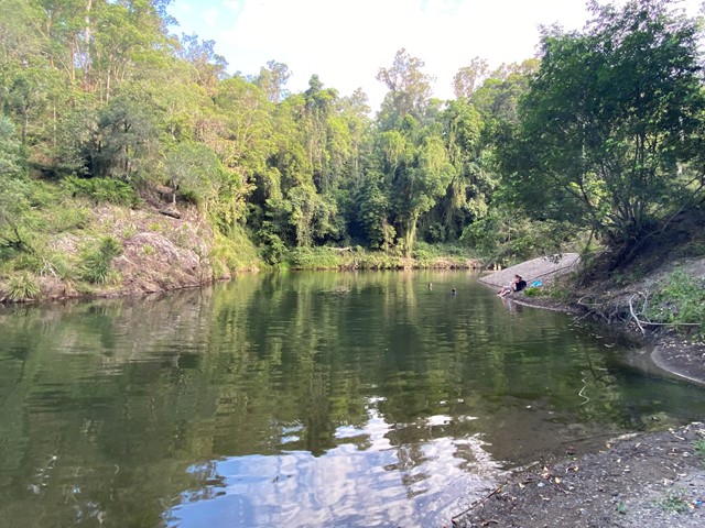
Wivenhoe Hill
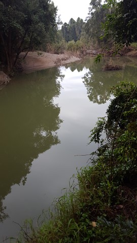
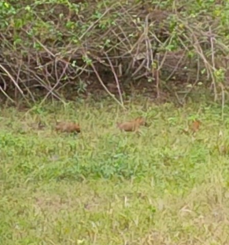
A 13km walk along/around a section of the Wivenhoe dam. Scenery changes, from water views, open grassland, bush and rocky outcrops over undulating ground. Opportunity to see Whiptail Wallabies, Koalas, Red Wren and other bird species.
 2
km
return
30
mins
2
km
return
30
mins
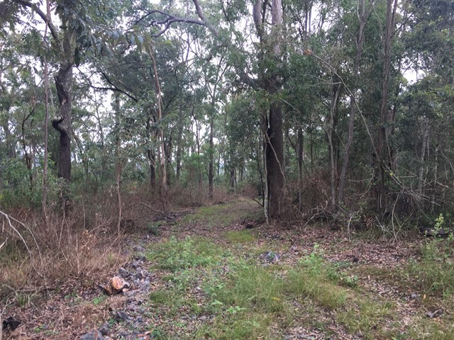
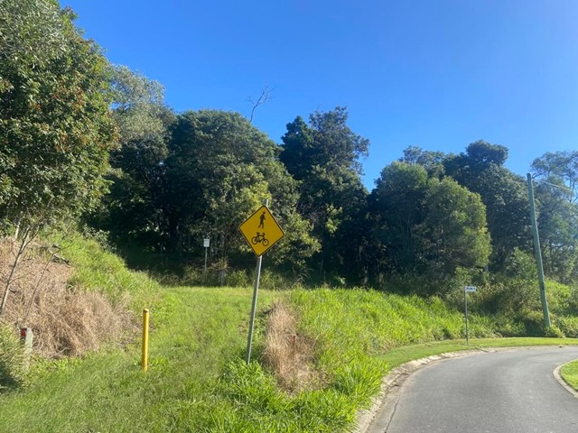
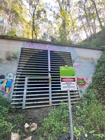
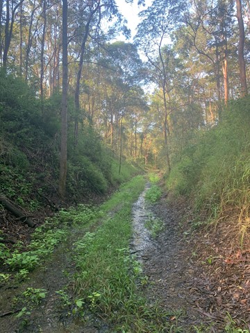
Yugar Rail Trail
This track is part of the disused rail line which went from Ferny Grove to Dayboro. Ends at Yugar rail tunnel. Memorial stone with info on top of tunnel.
Walks in Amamoor State Forest
(South East Queensland)
2.2
km
return
1
hr
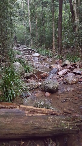
Amama Walk
Follow the pleasant Skyring Creek up to the Cascades then up to Diamondfield and Happy Valley Lookouts.
 2.5
km
return
1
hr
2.5
km
return
1
hr
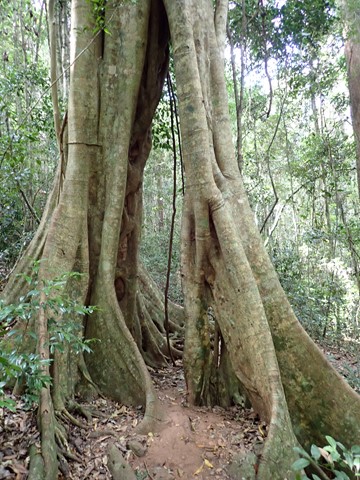
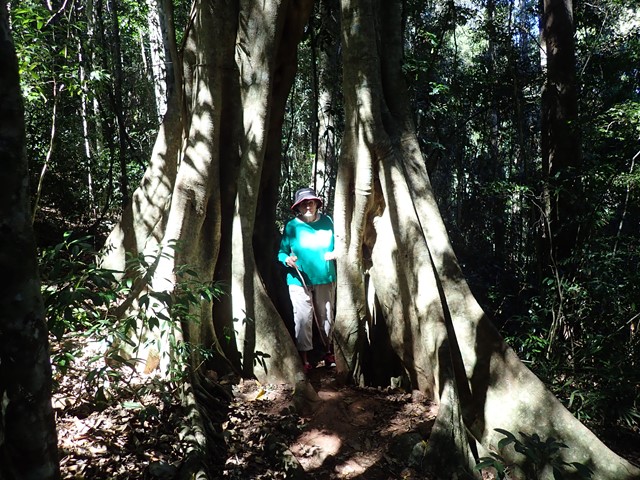
Amamoor Creek Hiking Trail
This walk starts across the road from the main stage at the top of the hill at the Muster site and winds up hill through thick bush allowing no views. Crossing a couple of dry creeks, even though there has been rain here, until it hits a forestry road and follows it up another hill, before you start the down hill run. A lot of Bunya Pine and little else, with the track is well defined.
 8
km
return
2
hrs
8
km
return
2
hrs
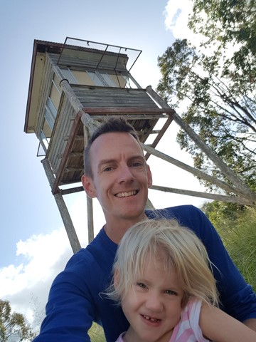
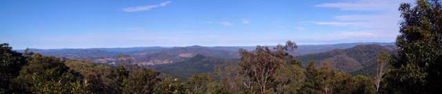
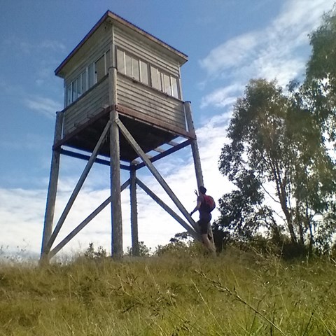
Amamoor State Forest Lookout
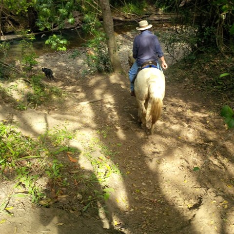
This is a shared trail for 4wd , Motorbikes , horse riders and hikers. This one starts opposite the 2nd car park entrance of Amama day-use area. You noticed a gate when looking up, just follow.
Follow the track to the right at the first intersection , then to the left at second intersection , then again keep following to the left. You will hit a rather steep section again full of rocks and gravel leading up to the lookout tower. Notice there's currently no ladder to get into the tower yet still have nice views though.
 4.6
km
return
2.5
hrs
4.6
km
return
2.5
hrs
Cedar Grove Hiking Trail
4.6km of rain forest. The first kilometre is a rise of 327mtrs above sea-level, which makes that about a 25% incline. The rest is a gentle downhill slope that flattens out to the forest floor.
 1.2
km
return
30
mins
1.2
km
return
30
mins
Macadamia Walk
This rainforest walk with interpretive signage takes you along Amamoor Creek and up Skyring Creek to the creek crossing whilst pointing out the wild Macadamia trees along the way.
 8.8
m
return
2
hrs
8.8
m
return
2
hrs
Mt Little Baldy
Long winding overgrown ( lantana )and seems unused forestry track leading to top of mountain which has limited views due to trees and growth yet a very peaceful walk in the State Forest.
When you get at the beginning of the Amamoor State Forest , where the sign is located right had side of road , you will find 2 tracks , facing them take the right one. Go through barbwire gate and simply follow the track up. Decent footwear required !