
Menu
Popular Walks
-
Mt Ngungun
(1156 ticks) -
Mount Coolum
(872 ticks) -
Mt Cordeaux
(668 ticks) -
Twin Falls Circuit
(636 ticks) -
Purling Brook Falls Circuit
(611 ticks)
Summary
The Sunshine State
Queensland has a wealth of bushwalking opportunities including multiple World Heritage Listed rainforests such as the Daintree and Lamington National Park, great coastal and island parks like Fraser Island and Hinchinbrook Island.
Popular Walks
-
Mt Ngungun
(1156 ticks) -
Mount Coolum
(872 ticks) -
Mt Cordeaux
(668 ticks) -
Twin Falls Circuit
(636 ticks) -
Purling Brook Falls Circuit
(611 ticks)
Sub-Regions
Other Information
World Heritage Areas
- Fraser Island
- Gondwana Rainforests of Australia (Lamington NP, Springbrook NP, Mount Chinghee NP, Mount Barney NP, Main Range NP)
- Great Barrier Reef
- Riversleigh
- Wet Tropics (Daintree NP, Barron Gorge NP, Cedar Bay NP, Girringun NP, Wooroonooran NP)
Contact details
Queensland Parks and Forest:
https://parks.des.qld.gov.au/
Regions
The link below provides a region map of QLD as a reference to what council zones are included in the 7 geographic regions of QLD.
https://en.wikipedia.org/wiki/Regions_of_Queensland#/media/File:Qld-regions-map.gif
- Far North Queensland
- North Queesnland
- Central Queensland
- Mackay, Isaac and Whitsunday
- Wide Bay Burnett
- Darling Downs South West
- South East Queensland
Walks in South East Queensland

 2.3
km
one-way
2.3
km
one-way
 30
mins
30
mins
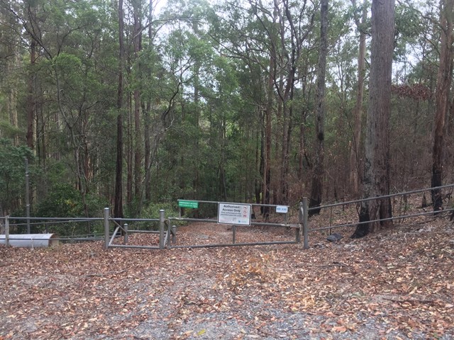
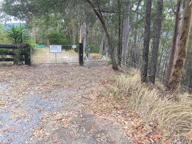
Neranwood Multi Use Trail
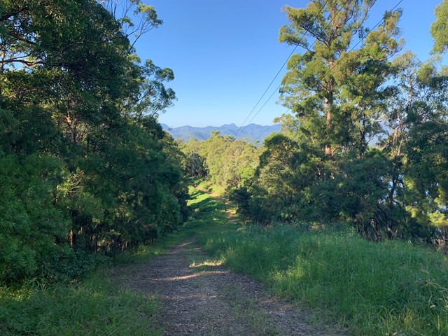
The trail begins at the end of Little Nerang road and runs along the Southern portion of the Tallai range before running down it's Western flanks above Advancetown Lake (Hinze Dam) to Gold Coast Springbrook Road.
 3.5
km
return
45
mins
3.5
km
return
45
mins
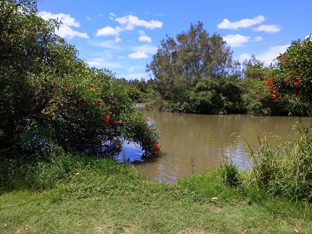
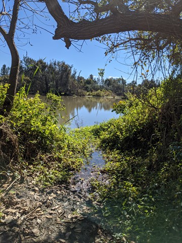
Oxley Creek Common-Pelican Island Walk
A serene patch of bird-inhabited wetland in the midst of an agricultural and industrial area, Oxley Creek Common has a couple of easy paved walking trails and picnic amenities for the visitor.
One trail leads from the picnic area and themed info and amenity block Red Shed and splits into two before ending at two different bird habitats. For those keen to spot some of the 180 plus species of bird that inhabit this space, the best times to walk are at dawn and dusk though ornithological tendencies are not required to enjoy these walks.
 6.7
km
return
2.5
hrs
6.7
km
return
2.5
hrs
Pages Pinnacle
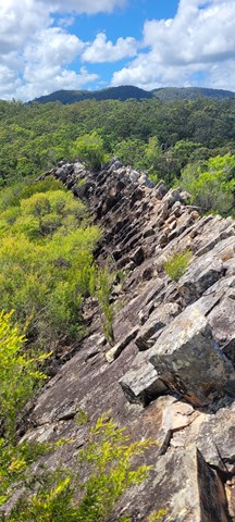
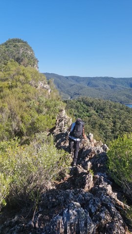
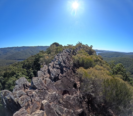
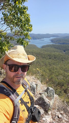
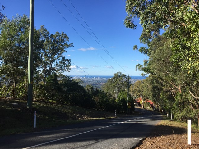
Pages Pinnacle is a 400m high volcanic plug on a ridge between Springbrook and the Numinbah Valley. It offers views towards the coast, as well as the Numinbah Valley and Lamington National Park. There is a challenging ridge line to scramble over, including a heart pumping (optional) razorback section.
 5.34
km
return
110
mins
5.34
km
return
110
mins
Panorama Multi Use Trail
A walk along the Tallai Range / The Panorama that offers a wide range of views between the trees.
It is very steep in sections and would advise to tackle only if relatively fit. Can be a difficult scramble down on loose rocks, don’t attempt on a hot day.
 7
km
return
2
hrs
7
km
return
2
hrs
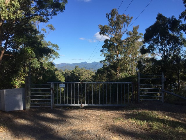
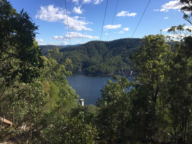
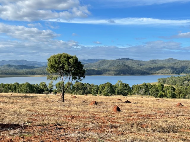
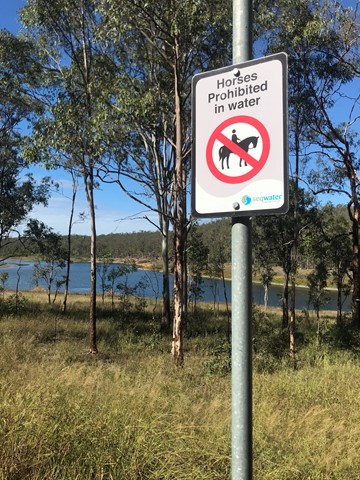
Pine Hill
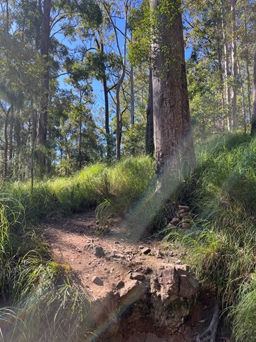
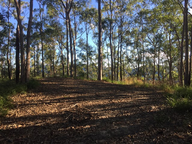
An easy walk through the bushland around the southern end of Lake Wivenhoe to the high point on Pine Hill. The eucalyptus trees look very young, so I can only suppose that this will get better with age.
 4.8
km
return
50
mins
4.8
km
return
50
mins
Postmans Track
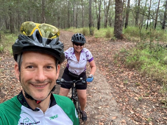
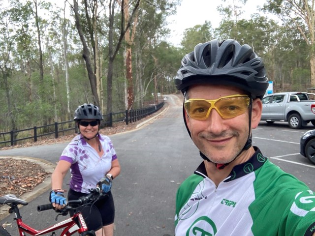
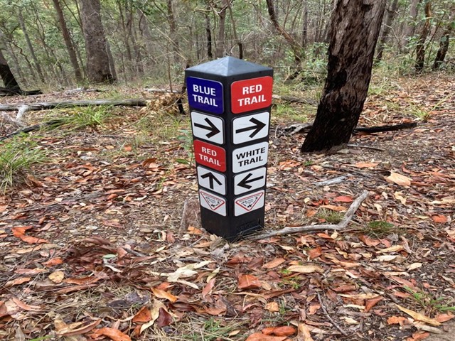
Nice bushland walk around 4.8km for the loop. Well signed and easy to follow with plenty of birds, wallabies and the odd snake. The track is split into two marked trails Blue (the easier section) and Red (more hills), with a White trail shortcut joining the two.
 10.4
km
return
2.12
hrs
10.4
km
return
2.12
hrs
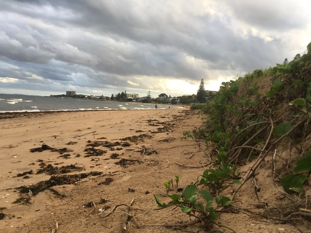
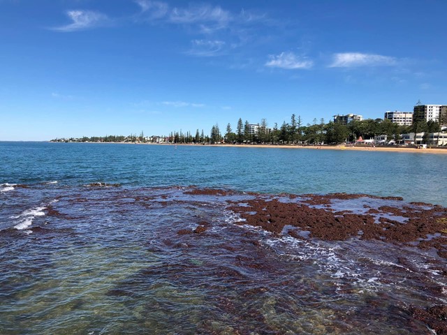
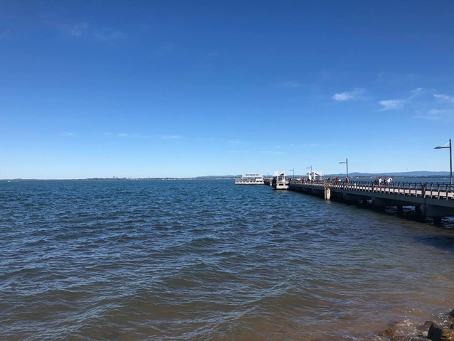
Redcliffe to Scarborough Cycleway
Start at the Redcliffe Jetty and head along the foreshore towards Scarborough. The Moreton Bay Cycleway is clearly marked along the pathway. The pathway ends where Landsborough Ave meets Fortune St. Turn right in to Fortune St and pick the pathway back up at the end of the Fortune Street at Tingira Park. Follow the track past the Newport Cruising Yacht Club on your left and then loop around the point to begin the return leg back to Redcliffe.
 6
km
return
90
mins
6
km
return
90
mins
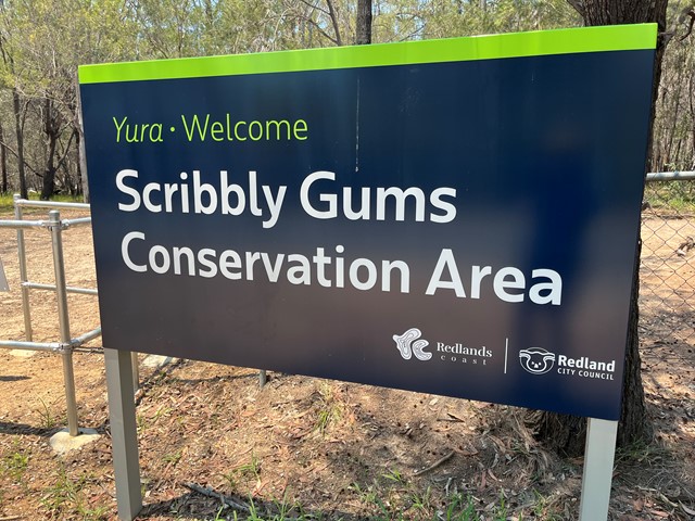
Scribbly Gums Conservation Area (Redland Bay)
The main track follows the power lines but there are lots of bike trails with beautiful bush scrub to explore. Trails marked, overview map lacking.
 200
m
one-way
5
mins
200
m
one-way
5
mins
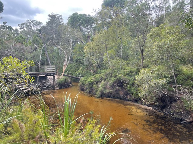
Seary’s Creek Boardwalk
A short and easy boardwalk with stairs to access swimming and wading sections in the creek