
Menu
Popular Walks
-
Mt Ngungun
(1156 ticks) -
Mount Coolum
(872 ticks) -
Mt Cordeaux
(668 ticks) -
Twin Falls Circuit
(636 ticks) -
Purling Brook Falls Circuit
(611 ticks)
Summary
The Sunshine State
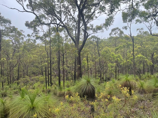
Queensland has a wealth of bushwalking opportunities including multiple World Heritage Listed rainforests such as the Daintree and Lamington National Park, great coastal and island parks like Fraser Island and Hinchinbrook Island.
Popular Walks
-
Mt Ngungun
(1156 ticks) -
Mount Coolum
(872 ticks) -
Mt Cordeaux
(668 ticks) -
Twin Falls Circuit
(636 ticks) -
Purling Brook Falls Circuit
(611 ticks)
Sub-Regions
Other Information
World Heritage Areas
- Fraser Island
- Gondwana Rainforests of Australia (Lamington NP, Springbrook NP, Mount Chinghee NP, Mount Barney NP, Main Range NP)
- Great Barrier Reef
- Riversleigh
- Wet Tropics (Daintree NP, Barron Gorge NP, Cedar Bay NP, Girringun NP, Wooroonooran NP)
Contact details
Queensland Parks and Forest:
https://parks.des.qld.gov.au/
Regions
The link below provides a region map of QLD as a reference to what council zones are included in the 7 geographic regions of QLD.
https://en.wikipedia.org/wiki/Regions_of_Queensland#/media/File:Qld-regions-map.gif
- Far North Queensland
- North Queesnland
- Central Queensland
- Mackay, Isaac and Whitsunday
- Wide Bay Burnett
- Darling Downs South West
- South East Queensland
Walks in South East Queensland

 2
km
return
2
km
return
 90
mins
90
mins
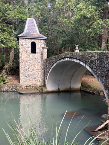
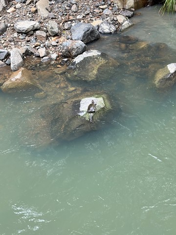
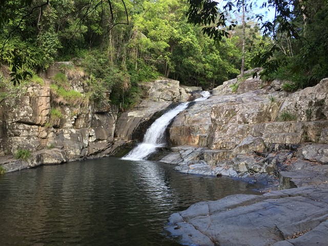
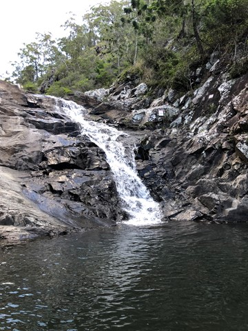
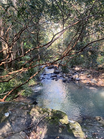
Cedar Creek Falls
Not to be confused with Cedar Creek at Mount Tambourine, this spot is located approximately 20 minutes from the village of Samford on Brisbane’s north side.
To access Cedar Creek, begin at Samford and drive north along Mount Samson Road, then turn left into Cedar Creek Road.
This is a great place to take a dip and cool off in summer or soak up the sun on a large rock in winter. Kids will also be kept busy with exploring the local surrounds.
There are no established bushwalking paths in the area, so best to stay near the creek.
 7.1
km
return
2
hrs
7.1
km
return
2
hrs
Chermside Hills, Raven St Reserve, and Milne Hill Circuit
A surprisingly diverse walk in the heart of the 'burbs' with the ability to totally lose oneself from the hectic pace of modern life, the sounds of traffic, the visual pollution of human settlement. On the two times I have done this walk I have come across a mob of wallabies in different sections of the walk.
 7.2
km
return
2
hrs
7.2
km
return
2
hrs
Christies Loop Glen Rock State Forest
A 7.2km shared trail that starts off easy then head straight up the range before doing a loop coming back down again. Quite steep at times and rocky / gravel track. Does provide some nice views of Mt Philip and Glen Rock as you get higher up.
 4.4
km
return
90
mins
4.4
km
return
90
mins
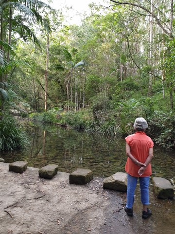
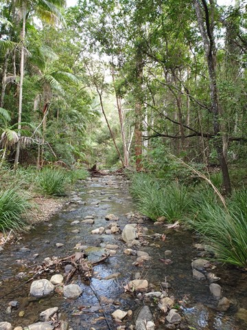
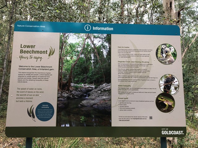
Clagiraba Creek Trail
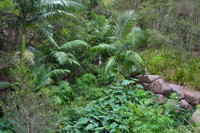
The Clagiraba Creek trail (5.3 kilometres return from the Bellis Road entrance) takes you deep into the green tranquillity of subtropical rainforests. It's possible to access the Clagiraba Creek trail from Barcoo Court, but be prepared for a more challenging route with steeper hills, popular with mountain bike riders and horse riders.
 2.2
km
return
40
mins
2.2
km
return
40
mins
Cliveden Avenue Reserve
A short easy walk around Corinda Horse and Pony Club.
 3.5
km
return
45
mins
3.5
km
return
45
mins
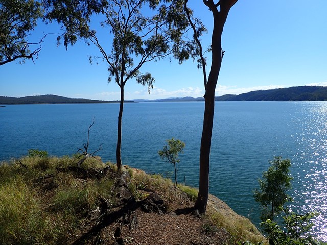
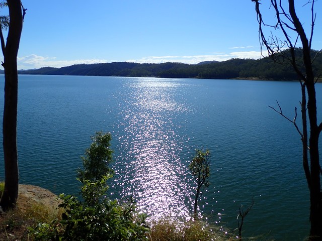
Cormorant Bay Loop (Wivenhoe Dam)
A 3.5km circuit commencing at a locked gate in the carpark area of Cormorant Bay, Wivenhoe Dam, just south of the dam wall. Drive past the old cafe and around the one-way road watching for the gate on your left. The lower track meanders along the lake, but not on the shore line, with views across the water, then a slight incline leads to a ridge which in turn leads back to the gate. The area is alive with birdlife. Some vegetation is still recovering from a bushfire. There are a couple of sections of pebbles which could be slippery. This is an easy walk suitable for all. Takes about 45 minutes.
 2.8
km
return
45
mins
2.8
km
return
45
mins
Coucal Trail
An easy walk along the river. Known for its Pheasant Coucal bird population.
 100
m
return
10
mins
100
m
return
10
mins
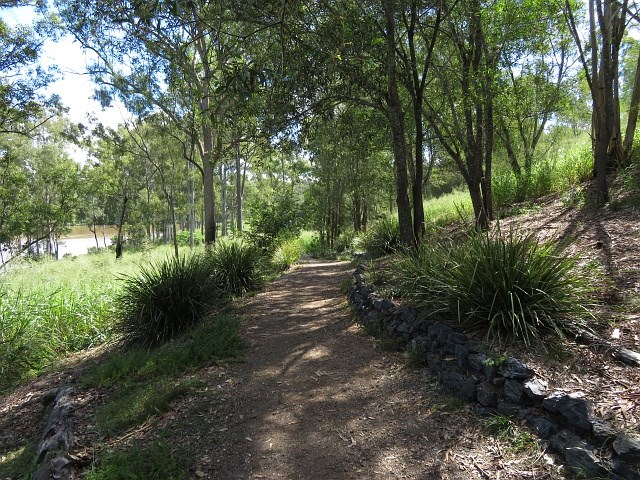
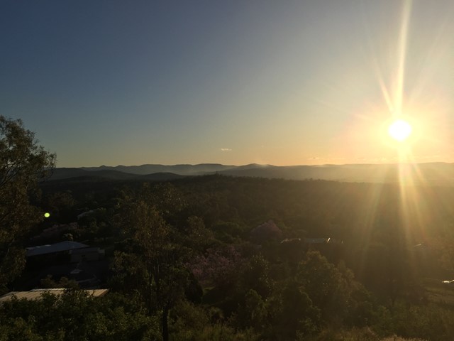
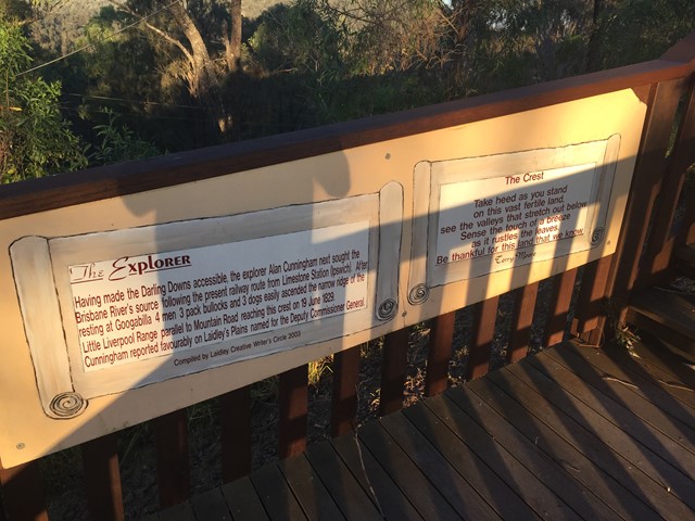
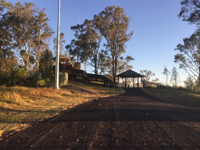
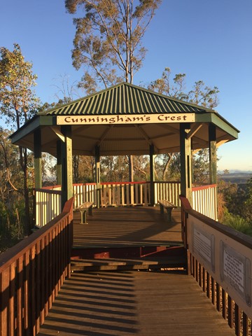
Cunningham's Crest Lookout
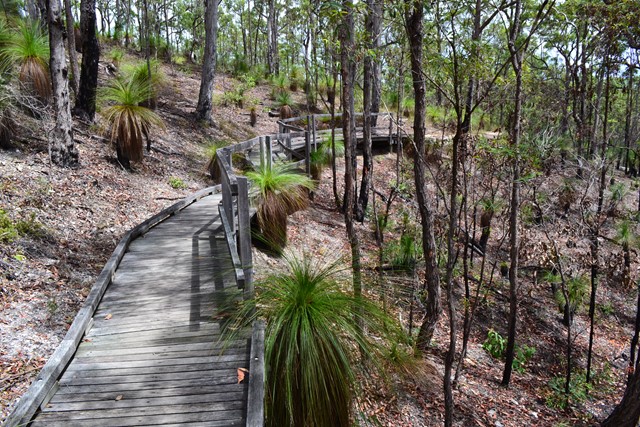
A short boardwalk with interpretive signage leads to the lookout which sits atop the Little Liverpool Range.
 4.2
km
return
90
mins
4.2
km
return
90
mins
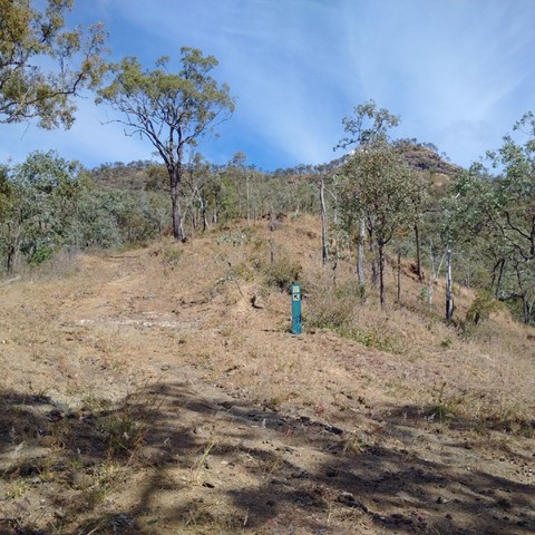
Davis Hill
A short walk which climbs gradually along fire trail to the summit of Davis Hill (298m). Views from the summit are limited, and there is a communications mast at the top.
3.6
km
return
90
mins
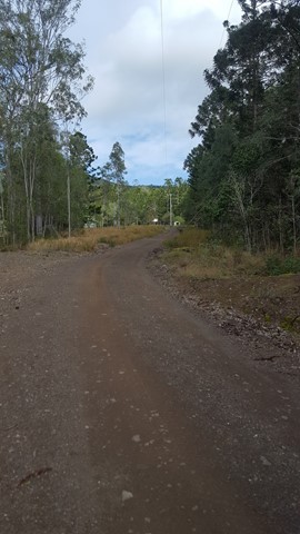
Deer Reserve SF - T1
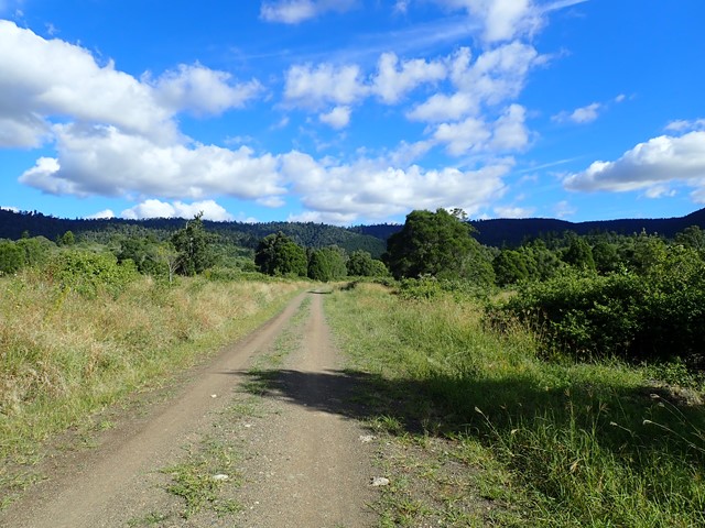
The northern half of Deer Reserve is a State Forest, containing native forest and hoop-pine plantations on steep mountainous slopes. It’s crisscrossed by management trails, which is perfect for hiking and mountain biking, provided you don’t mind hills.