


Menu
Popular Walks
-
Mt Ngungun
(1162 ticks) -
Mount Coolum
(874 ticks) -
Mt Cordeaux
(669 ticks) -
Twin Falls Circuit
(638 ticks) -
Purling Brook Falls Circuit
(611 ticks)
Summary
The Sunshine State Queensland has a wealth of bushwalking opportunities including multiple World Heritage Listed rainforests such as the Daintree and Lamington National Park, great coastal and island parks like Fraser Island and Hinchinbrook Island.
Popular Walks
-
Mt Ngungun
(1162 ticks) -
Mount Coolum
(874 ticks) -
Mt Cordeaux
(669 ticks) -
Twin Falls Circuit
(638 ticks) -
Purling Brook Falls Circuit
(611 ticks)
Sub-Regions
Other Information
World Heritage Areas
- Fraser Island
- Gondwana Rainforests of Australia (Lamington NP, Springbrook NP, Mount Chinghee NP, Mount Barney NP, Main Range NP)
- Great Barrier Reef
- Riversleigh
- Wet Tropics (Daintree NP, Barron Gorge NP, Cedar Bay NP, Girringun NP, Wooroonooran NP)
Contact details
Queensland Parks and Forest:
https://parks.des.qld.gov.au/
Regions
The link below provides a region map of QLD as a reference to what council zones are included in the 7 geographic regions of QLD.
https://en.wikipedia.org/wiki/Regions_of_Queensland#/media/File:Qld-regions-map.gif

- Far North Queensland
- North Queesnland
- Central Queensland
- Mackay, Isaac and Whitsunday
- Wide Bay Burnett
- Darling Downs South West
- South East Queensland
Walks in North Queensland

 15
km
15
km
 3
hrs
3
hrs
Mount Stuart
15km return walk from the steep roads ahead sign. 7.5km of continual uphill then 7.5 back down. There are no tracks available to the public so you need to walk up the narrow road.
600
m
return
1
hr
Pompeii Cave
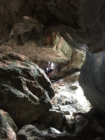
Pompeii Cave can be accessed from the Donna Cave car park, 1.8km south of Chillagoe. From the car park, a well-formed track with many steps leads through deciduous vine forest to Pompeii Cave—a cleft in the rock filled with large boulders, the remnants of a previous collapse. Inside this small cave, look for bats sleeping high in dark crevices and rock-wallabies hopping from boulder to boulder. A short but steep climb to the bottom reveals a dark passage and some attractive formations. Be careful not to walk on or touch cave decorations such as flowstone or cave coral. Torches are required.
 500
m
return
45
mins
500
m
return
45
mins
The Archways
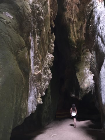
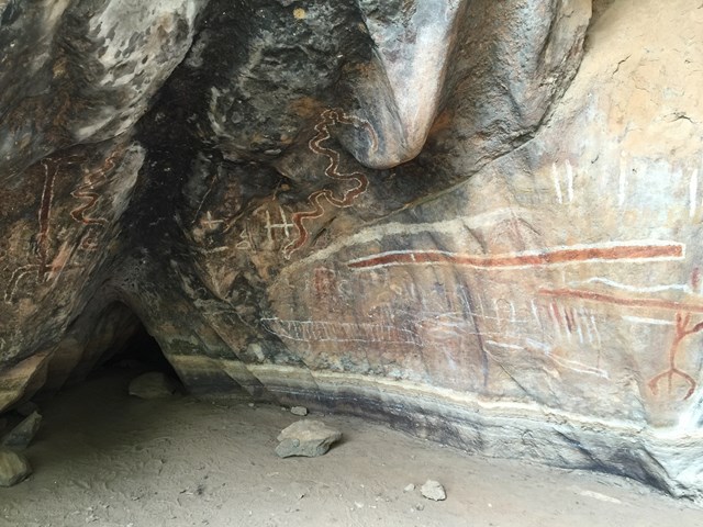
The archways walk is spectacular, with narrow passage connecting larger caverns. You'll want to take the most photos at the Art Site and the end of the Archways walk. NOTE: There are bats in the archways. There is one small hole you are required to crawl through however there is daylight on both sides.
 13.4
km
return
4
hrs
13.4
km
return
4
hrs
The Bump Track
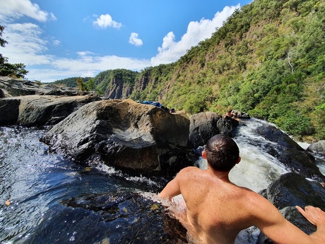
A steep but relatively straightforward walk that takes you from the Mowbray River Valley near Port Douglas to the Black Mountain Road.
 2.8
km
return
50
mins
2.8
km
return
50
mins
Towers Hill Walking Track
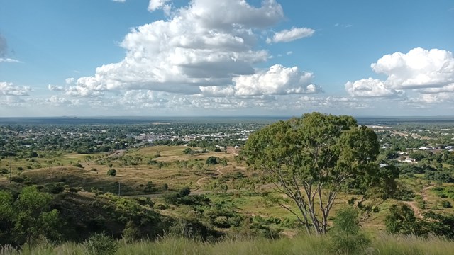
A short but steep circular walk with amazing views over Charters Towers and the surrounding land. As the site of the first gold discovery in Charters Towers, there are loads of points of historical interest including the ruins of Clark's Mines, the Pyrites Works, many WWII bunkers and the seismograph station. These are well signed with plenty of information boards and even audio-visual displays in two of the bunkers. There is also plenty of wildlife including rock wallabies and birds.
Walks in Magnetic Island National Park
(North Queensland)
1.2
km
return
30
mins
Hawkings Point Lookout
Short walk up to a lookout with lovely views of the island.

 4
km
return
7
hrs
4
km
return
7
hrs
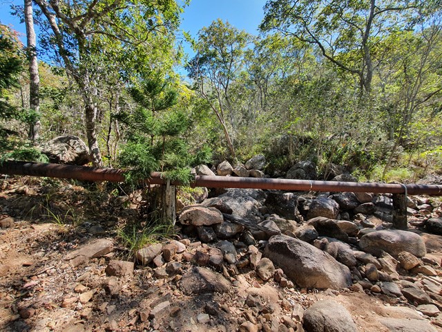
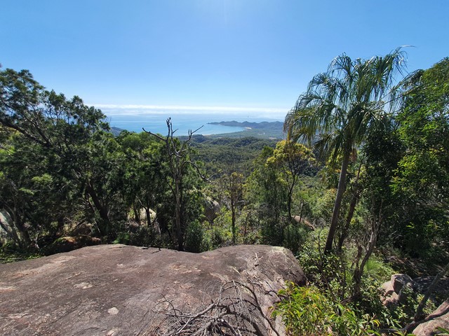
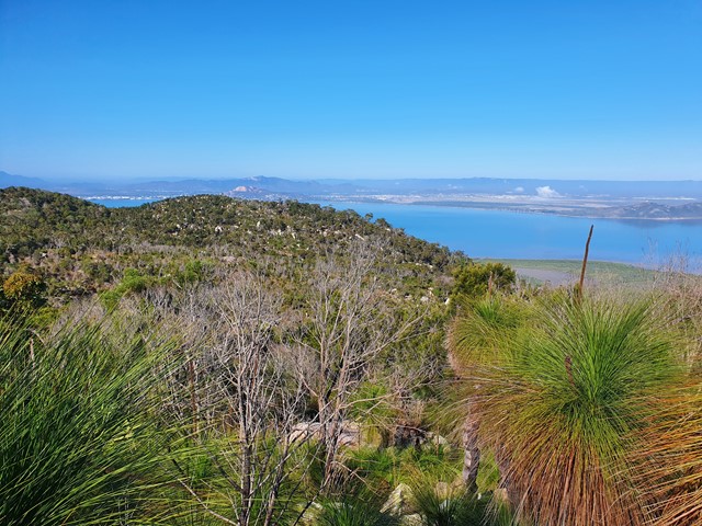
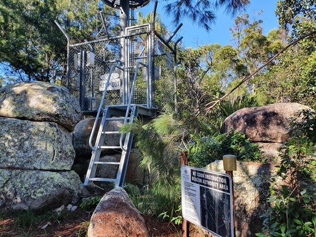
Mt Cook
A difficult bushbash to the top of the highest mountain on Magnetic Island.

 4
km
return
90
mins
4
km
return
90
mins
The Forts Walk
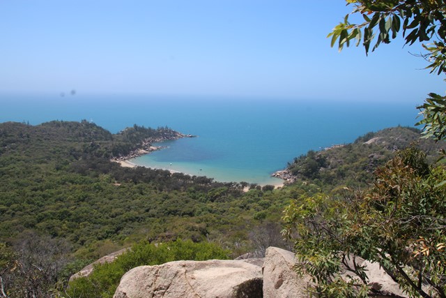
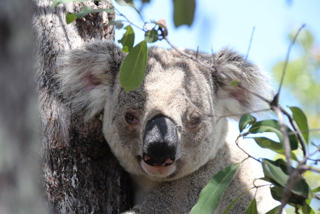
This walk has it all - spectacular coastal views, WW2 history, and possibly the best walk in Australia for spotting Koalas in the wild and close up! The walk leads to WW2 fortifications built to guard the entrance to the Townsville Port, and consequently they provide spectacular and un-interrupted views of the bay and surrounding coastlines. Along the way, the walk passes through the old encampment areas which has great interpretive signage to explain how the area looked during the war. It is in this area that walkers are almost guaranteed to spot a wild koala lounging low in the trees.

Walks in Pallarenda Conservation Park
(North Queensland)
7.2
km
return
2
hrs
Freshwater & Lagoon Trails
The Freshwater and Lagoon trails form a 7.2 km circuit around the coastal wetlands of the Town Common Conservation Park. This is a beautiful area to explore, full of birdlife, great photo opportunities and so close to the city of Townsville
