
Menu
Popular Walks
-
Mt Ngungun
(1155 ticks) -
Mount Coolum
(872 ticks) -
Mt Cordeaux
(668 ticks) -
Twin Falls Circuit
(636 ticks) -
Purling Brook Falls Circuit
(611 ticks)
Summary
The Sunshine State
Queensland has a wealth of bushwalking opportunities including multiple World Heritage Listed rainforests such as the Daintree and Lamington National Park, great coastal and island parks like Fraser Island and Hinchinbrook Island.
Popular Walks
-
Mt Ngungun
(1155 ticks) -
Mount Coolum
(872 ticks) -
Mt Cordeaux
(668 ticks) -
Twin Falls Circuit
(636 ticks) -
Purling Brook Falls Circuit
(611 ticks)
Sub-Regions
Other Information
World Heritage Areas
- Fraser Island
- Gondwana Rainforests of Australia (Lamington NP, Springbrook NP, Mount Chinghee NP, Mount Barney NP, Main Range NP)
- Great Barrier Reef
- Riversleigh
- Wet Tropics (Daintree NP, Barron Gorge NP, Cedar Bay NP, Girringun NP, Wooroonooran NP)
Contact details
Queensland Parks and Forest:
https://parks.des.qld.gov.au/
Regions
The link below provides a region map of QLD as a reference to what council zones are included in the 7 geographic regions of QLD.
https://en.wikipedia.org/wiki/Regions_of_Queensland#/media/File:Qld-regions-map.gif
- Far North Queensland
- North Queesnland
- Central Queensland
- Mackay, Isaac and Whitsunday
- Wide Bay Burnett
- Darling Downs South West
- South East Queensland
Walks in Minerva Hills National Park
(Central Queensland)
 2
km
return
2
km
return
 45
mins
45
mins
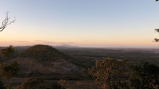
Springsure Lookout
Fairly easy hike to the lookout when leaving the car at the scenic drive and walk further up. Has some nice views of the town of Springsure
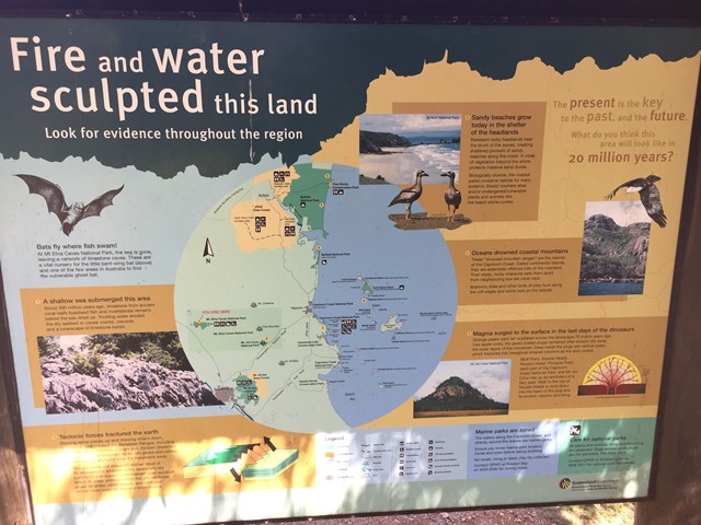
Walks in Mount Etna Caves National Park
(Central Queensland)
600
m
return
45
mins
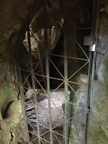
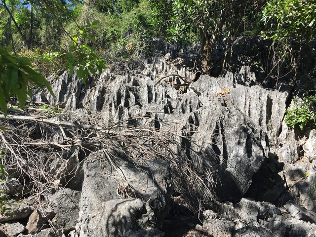
Cammoo Circuit
Located in the Cammoo section of the National Park, wander along a 600m self-guided walk through remnant dry rainforest clinging to limestone karst and uncover the secrets this fragile ecosystem holds. Read about the bitter battle between limestone miners and conservationists and how the dispute was finally resolved.
 1.5
km
return
1
hr
1.5
km
return
1
hr
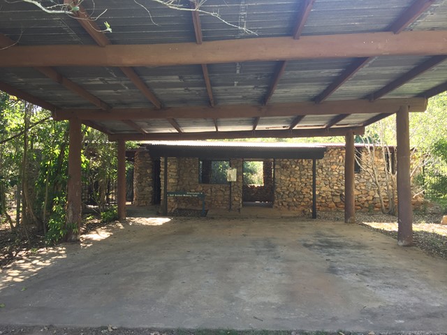
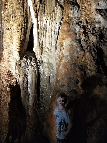
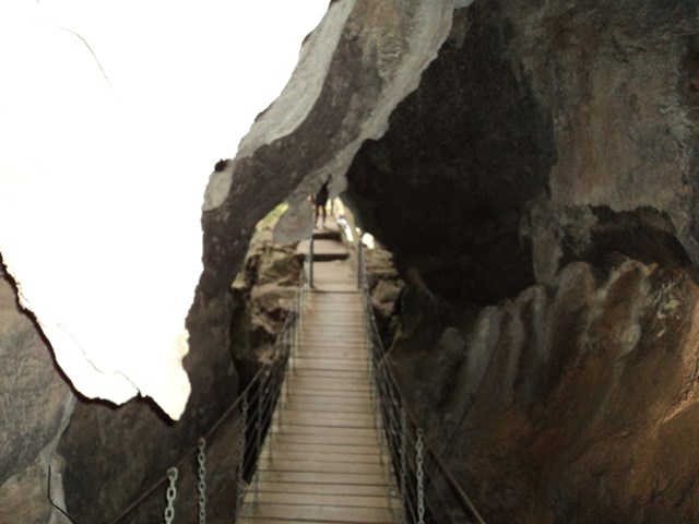
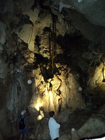
Capricorn Caves
These ancient above ground caves honeycomb a limestone ridge and offer more than 1.5km of passages to explore.
On a guided tour visit the labyrinth of large caves featuring beautiful decoration, amazing fig tree roots and maybe little insectivorous bats, highlighted by the 'Cathedral Cave', with its near perfect acoustics.
 2.4
km
return
1
hr
2.4
km
return
1
hr
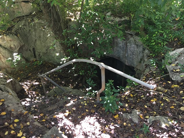
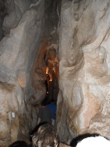
Mount Etna Walk Bat Cleft
A short walk up Mount Etna to the Bat Cleft. During November to February, the walk is only accessible by tour with a park ranger where you can see 110,000 bats emerge from the bat cleft.
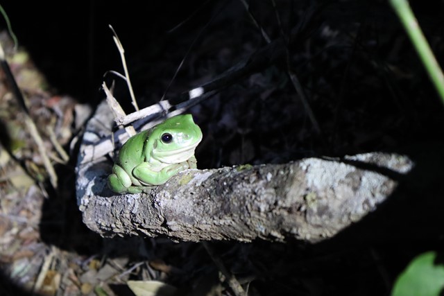
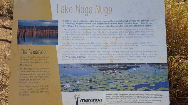
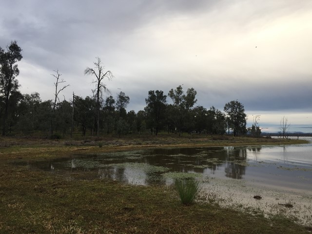
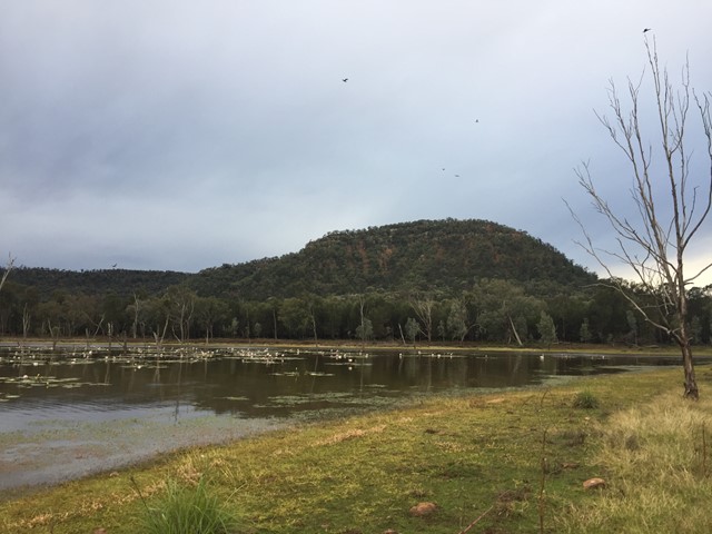
Walks in Nuga Nuga National Park
(Central Queensland)
2
km
return
45
mins
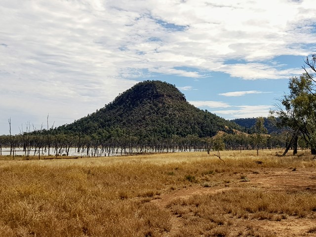
Lake Nuga Nuga Island Foreshore Walk
Though an island by name it is not an island by nature. The 'island' on Lake Nuga Nuga can be walked onto and around offering stunning views over the lake.
 3
km
return
3
hrs
3
km
return
3
hrs
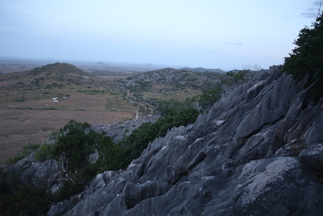
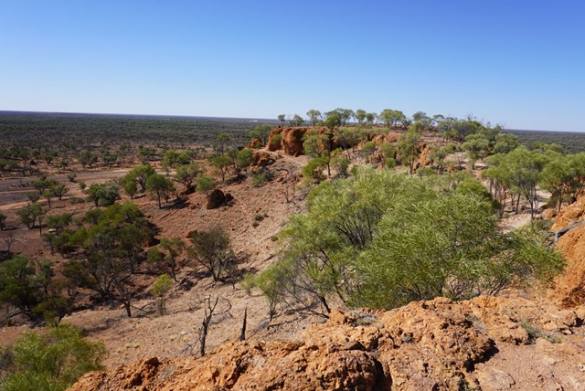
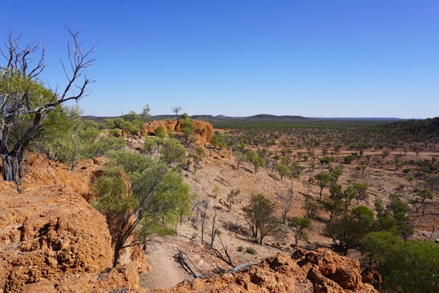
Mt Warnilla
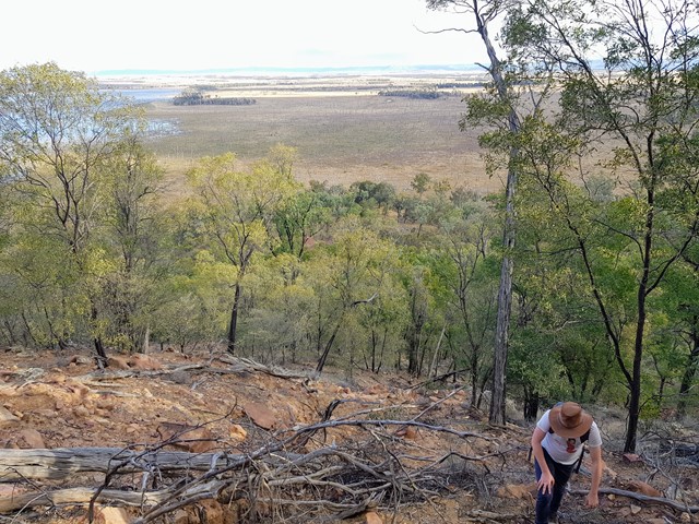
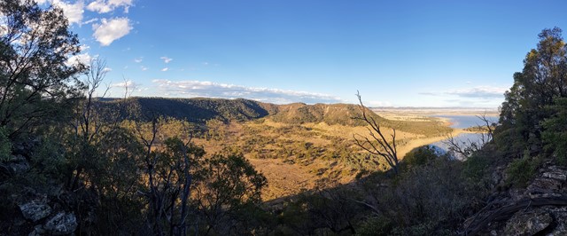
The summit of Mt Warnilla gives the absolute best views of the Arcadia Valley and especially of Lake Nuga Nuga. No trail or markings, entire walk is trailblazing up the foothills and finally scrambling to the summit.
Much of the summit is cliff-faced and unclimbable without lead-roping equipment/experience, I found a crevice to boulder-climb up to the end and find a way to the plateau at the top.
It's easy enough to get to the cliffside and the views from there are stunning too, but if you have the guff to get to the peak the 360 degree views from the plateau are unbeatable.
Walks in Darling Downs South West
4.2
km
return
90
mins
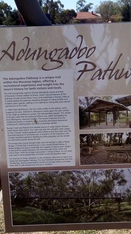
Adungadoo Pathway
Follow the peaceful waters of Bungil Creek. Ancient River Red Gums are a beautiful feature of this walk, while the watercourse is a must for bird watchers. Take a small detour on route to see the largest Queensland Bottle Tree.
 1
km
return
30
mins
1
km
return
30
mins
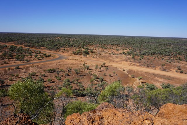
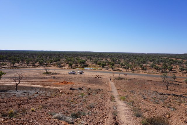
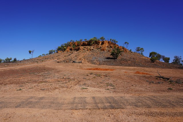
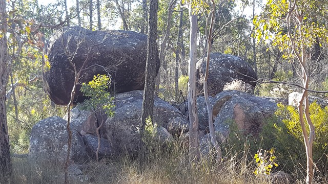
Baldy Top Quilpie
Located 7.4 kilometres from Quilpie on the Toompine Road rests a red rocky formation, aptly named Baldy Top Lookout. Part of the Grey Range, Baldy Top is one of the most elevated points in South West Queensland.
Explore caves and crevices, untouched by civilisation whilst traversing this magnificent boulder formation which was created naturally over millions of years.
A climb to the summit of Baldy Top is a relatively easy ten minute scramble. Although Baldy Top appears quite small in its surroundings, once atop this hill, one is amazed by the breathtaking panoramic landscapes that stretch as far as your imagination.
As ancient as time itself, Baldy Top offers visitors stunning sunsets whilst experiencing the serenity and solitude of the Outback.
 9.2
km
return
3
hrs
9.2
km
return
3
hrs
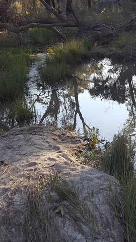
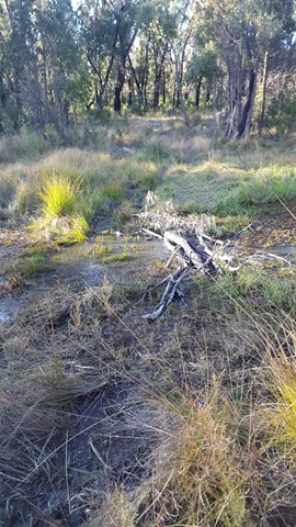
Bindegolly National Park
This is only a good walk when there's actually water in the Lake. The lake does dry up making for a sandy experience. When full with water it should be an amazing experience as it attracts various wildlife. Ideal for birdwatching with a bird viewing site 4.5 km from car park
 5.7
km
return
105
mins
5.7
km
return
105
mins
Broadwater Loop
An interesting walk with multiple challenging creek crossings through Broadwater State Forest. Includes plenty of bird life and the odd wallaby peeping out from behind the trees.