
Menu

 8
km
8
km
 4
hrs
4
hrs
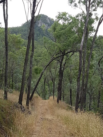
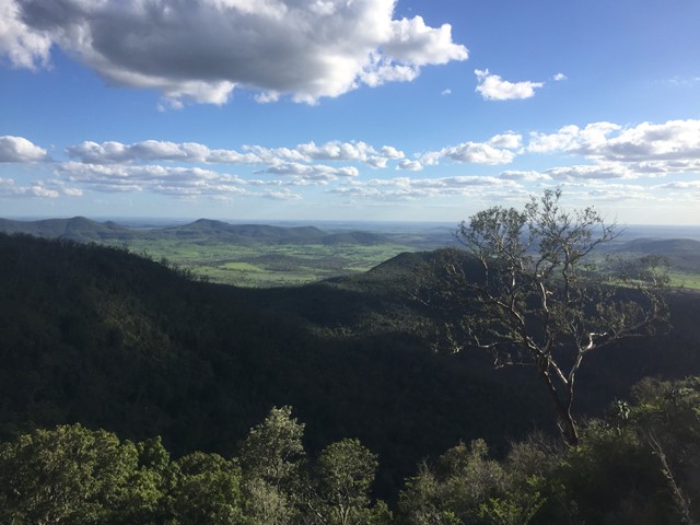
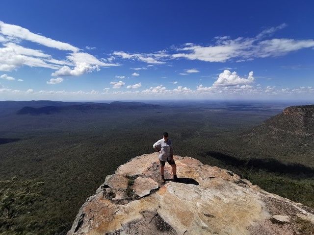
Salvator Rosa
Spy glass peak and surrounding sandstone features make this walk very interesting for photography. The natural wall near the peak appears as if man made.
 19
km
one-way
7
hrs
19
km
one-way
7
hrs
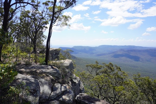
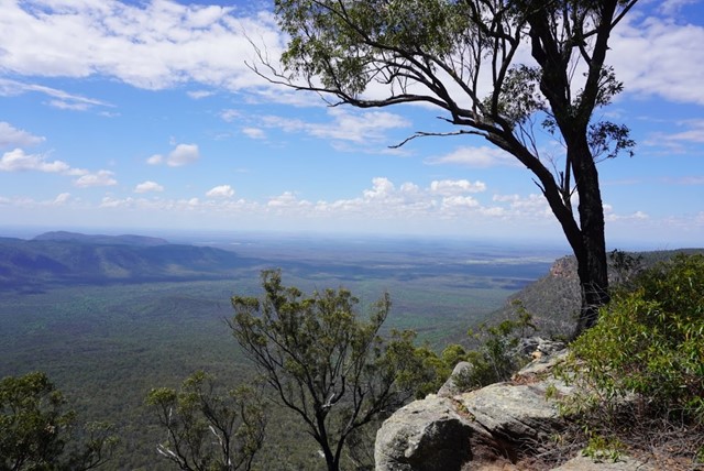
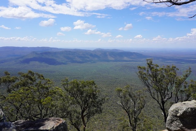
Boonah to Ipswich Trail
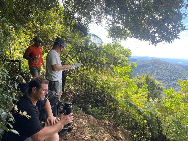
This trail forms the backbone of all trails in the Conservation Estate, and connects the two picnic areas. It caters for hiking, horse riding and recreational touring (mountain bike riding). At 38 km return, this trail becomes challenging. Experienced walkers would need to start early in the morning to complete a return trip, requiring at least a 10 to 14 hour day. Note that the conservation estate is open between the hours of 6am and 6pm. Alternatively, a 19km one way walk could be considered for those who can organise travel/accommodation arrangements at the other end. Rugged mountain scenery, views to the coast from Mt Flinders, creek crossings and diverse landscapes such as dry rainforest and heath will reward you.
 14
km
return
7
hrs
14
km
return
7
hrs
Mt Bangalore
An off track adventure up a mountain that barley anyone has heard of and even fewer have attempted. Navigation skills are a must, be prepared to spend copious amounts of time in long grass and spider webs.
4
km
return
90
mins
Ghinghion Lookout
From Burtons Well track heads down to the cliff side where there is a lookout above a non-perennial waterfall.
4
km
return
2
hrs
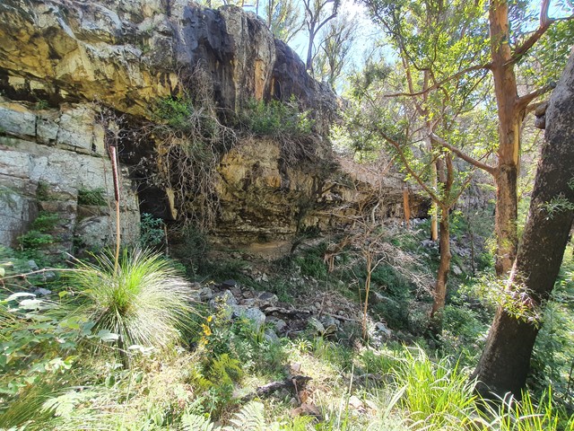
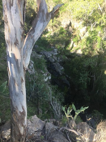
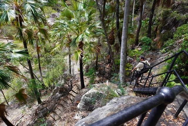
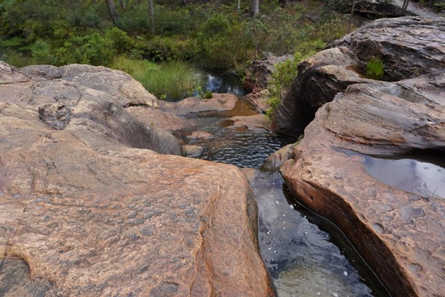
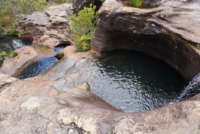
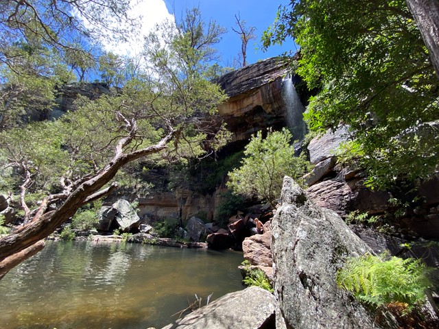
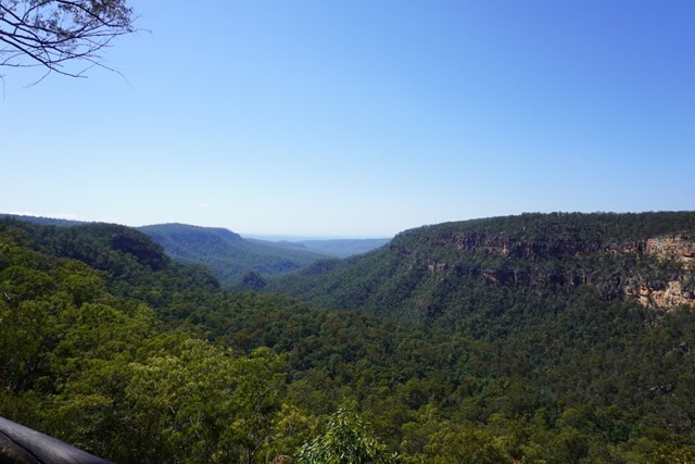
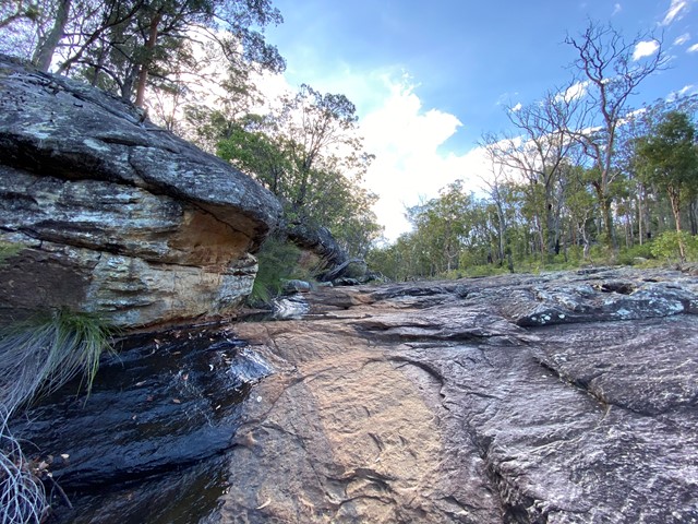
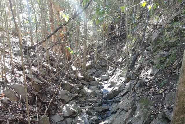
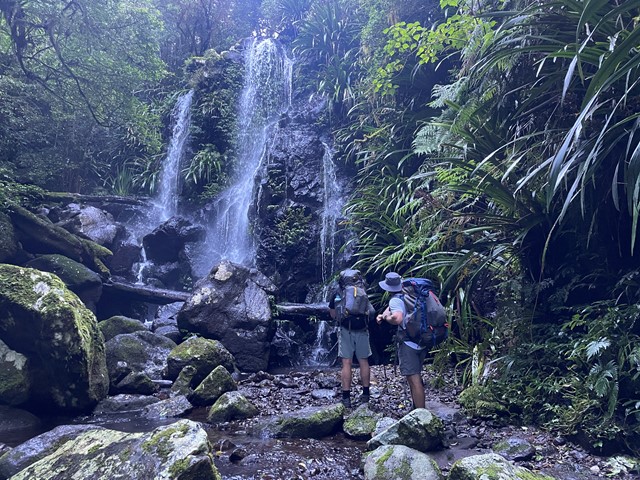
Gudda Gumoo Gorge
Journey into the gorge, where damp fern fronds glisten and colourful birds come to cool off. See water spill over sandstone ledges of Rainbow Falls as it flows down and through the gorge.
 3.6
km
return
90
mins
3.6
km
return
90
mins
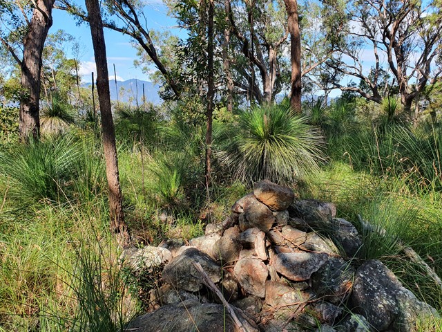
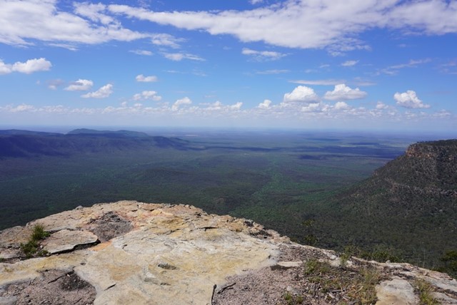
Gudda Gumoo Lookout
Stop and touch rough stringybarks and spiky grasstrees as you follow this track to Gudda Gumoo lookout. Gaze across the gorge to distant plains and hills. Learn about the significance of Moonda Gudda to the Ghungalu people.
2.4
km
return
50
mins
Mook Mook
This walk starts opposite the Munall campground turn-off. Follow the track across Mimosa Creek and over gentle ridges to a lookout on the edge of the tableland, offering views of sandstone cliffs and distant ranges.
2.5
km
return
1
hr
Goon Goon Dhina
The track starts from the Munall campground and begins with an easy walk past old cattle yard ruins, then follows Mimosa Creek upstream to a Ghungalu art site. Signs along this track offer insights into the park's history. Learn how Ghungalu people used plants for food and shelter.
3.6
km
return
1
hr
Goodela
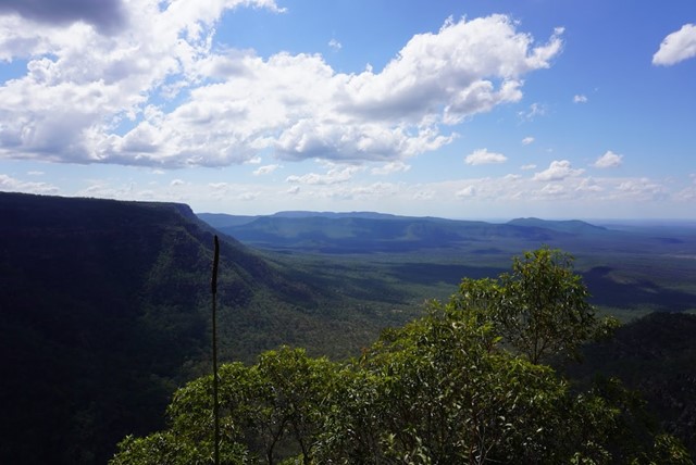
This track follows the escarpment as you near Yaddamen Dhina lookout. It winds through eucalypt forest. Notice the vegetation change as you approach the creek, where delicate ferns and mosses thrive. Watch for bird life in the surrounding bush as you stop and rest at the track's end.
200
m
return
10
mins
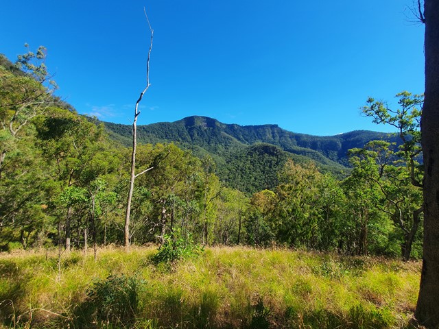
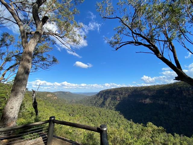
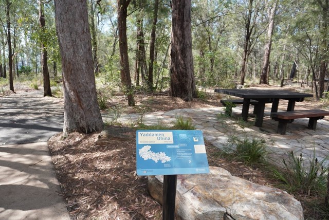
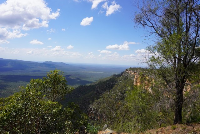
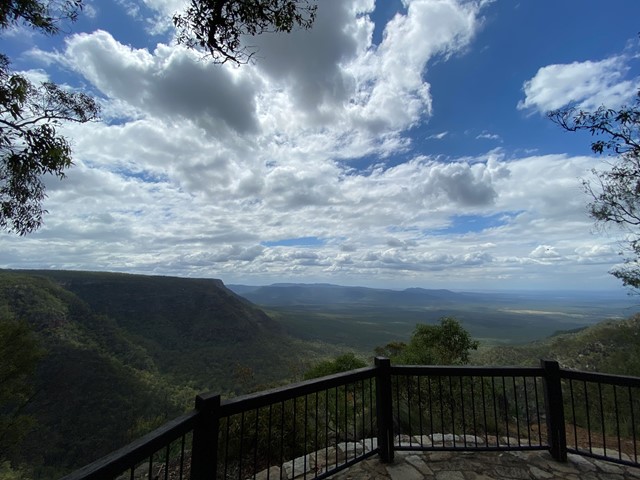
Yaddamen Dhina
Various Blackdown wattles grow along this short track to Yaddamen Dhina lookout, offering sweeping views of distant ranges and plains 500 m below.
17.5
km
return
7
hrs
Kahlpahlim Rock Circuit,
Dinden national Park, Cairns
Steep climb to top of rock
Very challenging
Also hard walk down
8.2
km
return
100
mins
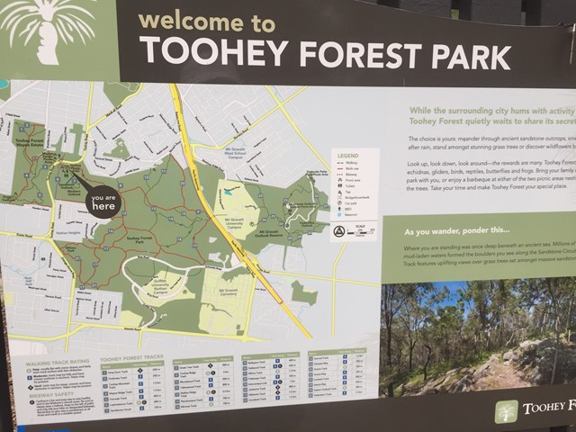
Toohey Forest Park Loop
This is a nice loop of Toohey Forest Park. Beautiful bushland, but not really fond of the paved path. I guess it does support erosion control though. Otherwise, great ecosystems throughout, going from the dry Eucalypt forest, down to the riparian system at lower elevation.
Great native flora and fauna everywhere.
7.5
km
one-way
2.5
hrs
East Creek Park
An easy walk through connecting parks along the reserve of East Creek in Toowoomba.
1.5
km
one-way
Hell Hole Track and Falls
A short steep track through bush to a little creek and falls.
3
km
return
45
mins
Toohey Mountain Track & Mayne Ridge Track
A short walk in Toohey Forest Park from the Mayne Estate Picnic Area to the top of Toohey Mountain and to Pegg's Outlook.

 54
km
one-way
3
days
54
km
one-way
3
days
Great Walk! Gold Coast Hinterland
A walk from Green Mountains via Binna Burra to Springbrook National Park. Passes massive stands of Antartic Beach, glorious lookouts and magic waterfalls.
 6
km
2
hrs
6
km
2
hrs
Federation Walk
This is an easy 3km walk (6km if you go to the end and back) along a well made path through the sand dunes of The Spit. It's perhaps the closest walk to Surfers Paradise and provides a unique insight into the coastal dune network.
The walk starts at the beach carpark on the opposite side of the road from the entrance to Sea World (you'll need to go around the roundabout to get to the carpark). It's basically a 3km stretch of sand dunes, beach and sheoak trees and the path is made of compacted gravel, so it's easy to walk on. There are a couple of small inclines, but nothing too dramatic. The path ends at the Gold Coast Seaway where, on a clear day, you can get an excellent view south down the beach along the entire stretch of the Gold Coast right down to Coolangatta. You can then turn around and walk 3km back, or have someone pick you up at the end.
Take plenty of water on a hot day because there are only amenities at the start and finish of the walk and parts of the track have no shade.