
Menu

 1.2
km
one-way
1.2
km
one-way
 30
mins
30
mins
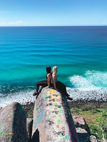
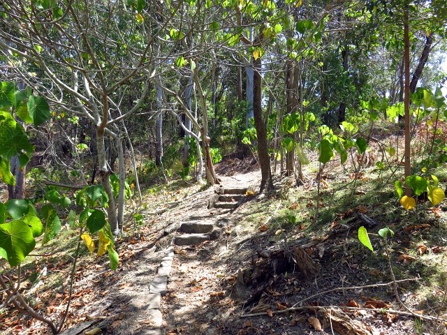
Oceanview Walk
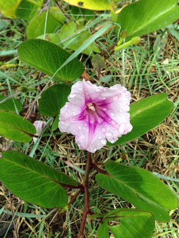
This track leads around the rocky headland from Tallebudgera Creek to the southern edge of Burleigh Heads township.
You can look at the tumbled masses of six-sided basalt columns, and relax by the creek at Echo Beach. You can either return by the same path or via the Rainforest circuit and Tumgun lookout.
 2.3
km
return
1
hr
2.3
km
return
1
hr
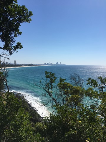
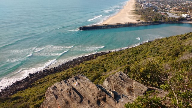
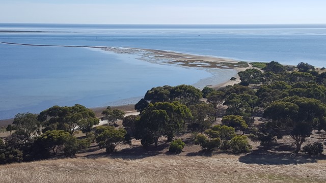
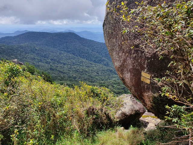
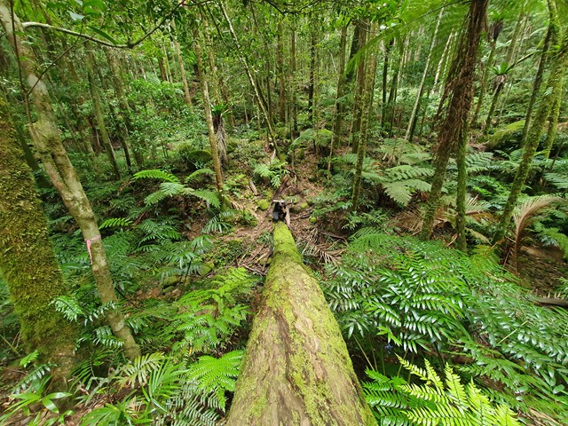
Rainforest Circuit
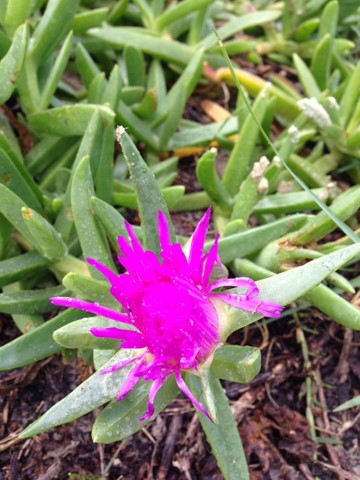
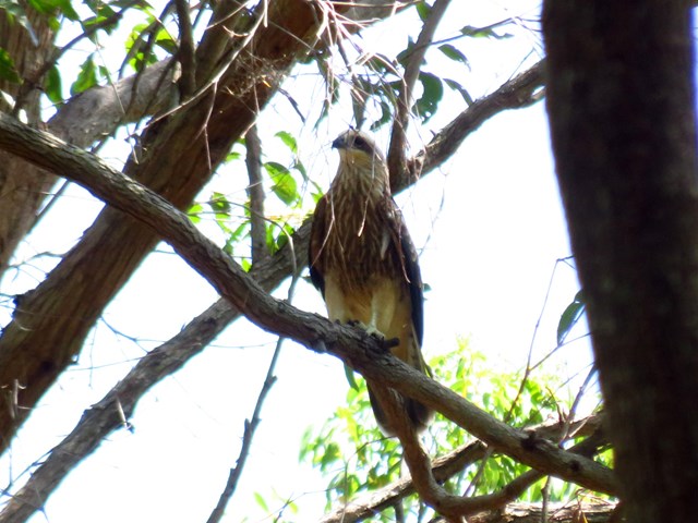
A wild, natural headland in the heart of the Gold Coast offers walks along the rocky foreshore and through rainforest, with the chance to see whales in winter/spring and sea-eagles soaring along the coast.
 8
km
return
2
hrs
8
km
return
2
hrs
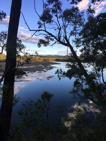
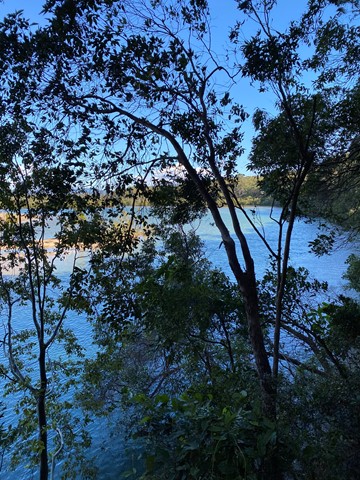
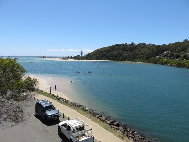
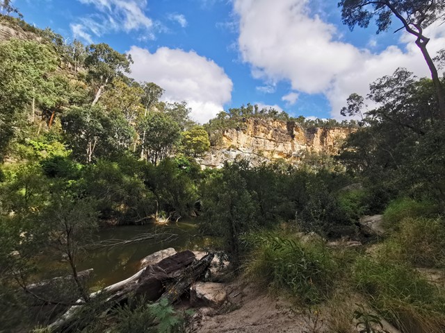
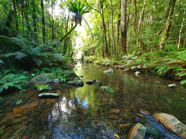
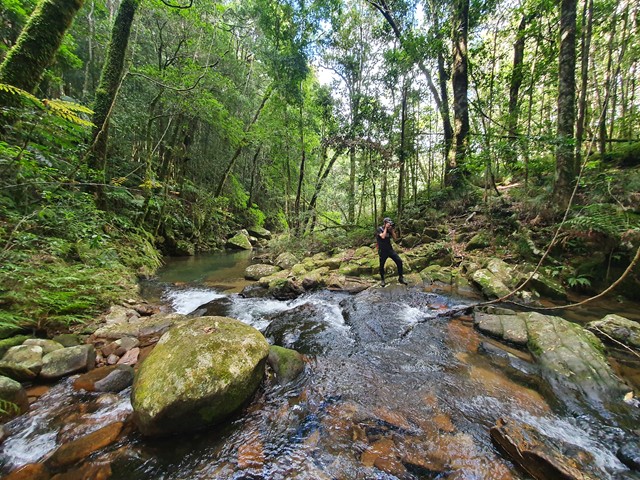
Tallebudgera Creek Circuit
This is a pristine waterway, one of the ‘must do walking tracks’ on the Gold Coast
 3
km
return
45
mins
3
km
return
45
mins
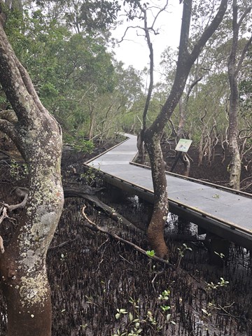
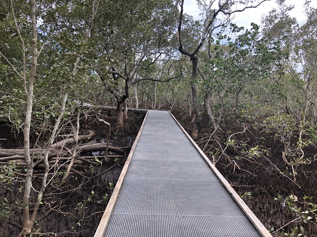
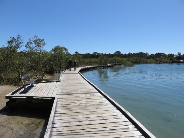
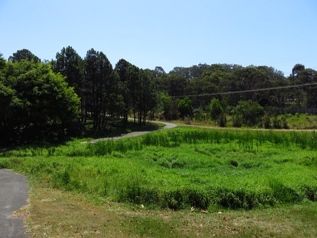
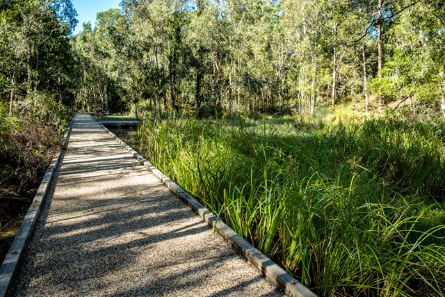
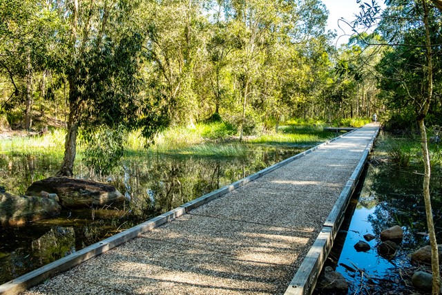
Elanora Wetlands
Elanora Wetlands Habitat is a Gold Coast City Council (GCCC) reserve in the upstream estuarine reaches of Tallebudgera Creek. Adjacent to tidal wetlands, a scenic walking track follows the perimeter of the Water Quality Control Centre (WQCC). There are excellent views of mangroves and saltmarsh vegetation along the track where they form a thin fringe along the creek.
3.5
km
return
45
mins
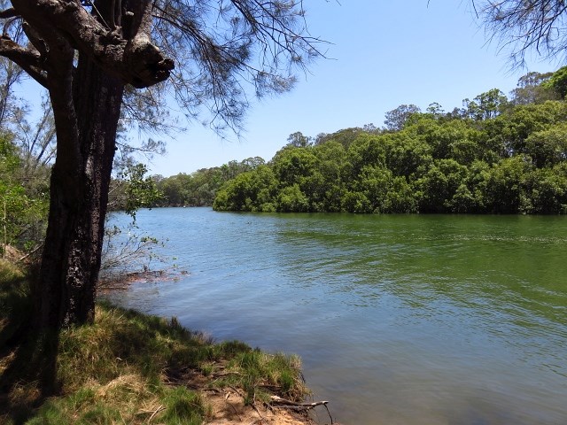
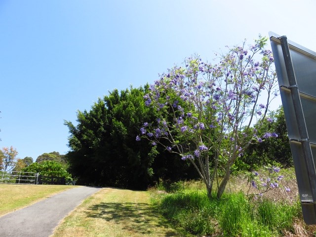
Schuster Park
Schusters Park is a great spot to take the kids for a quick walk or stay the day for a picnic by the creek. There is lots of room to run around, and a sandy beach to launch kayaks from. Put on some mozzie repellent before exploring the flat trail through the mangroves along the northern peninsula of the park.
 3.5
km
return
1
hr
3.5
km
return
1
hr
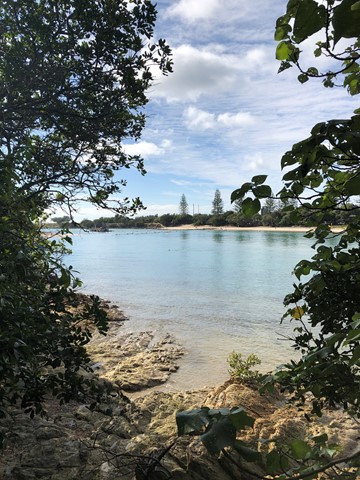
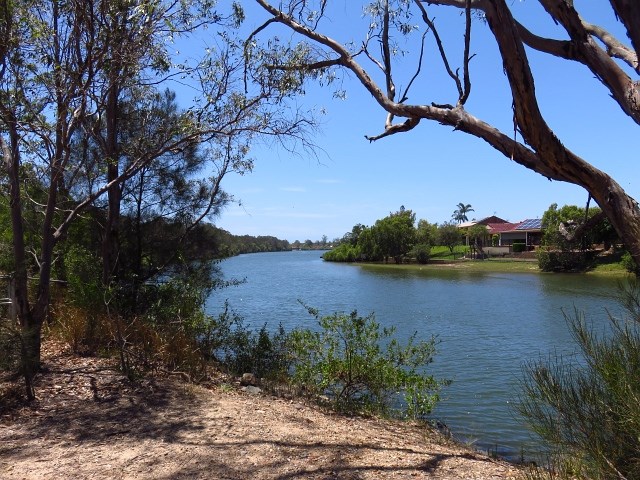
Palm Beach Parklands
There isn’t another location on the Gold Coast that is so diverse, where so many activities can be enjoyed in one concentrated place, from exercising your dog to wind surfing.
Along with this is the beauty of the location, its part of the Currumbin Estuary and Palm Beach Spit and a photographer’s paradise.
 2.5
km
return
45
mins
2.5
km
return
45
mins
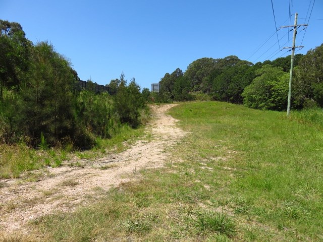
Tugun Hill Conservation Area
The Tugun Hill Conservation Area is approximately 16 hectares and is managed for conservation purposes.
 1
km
return
15
mins
1
km
return
15
mins
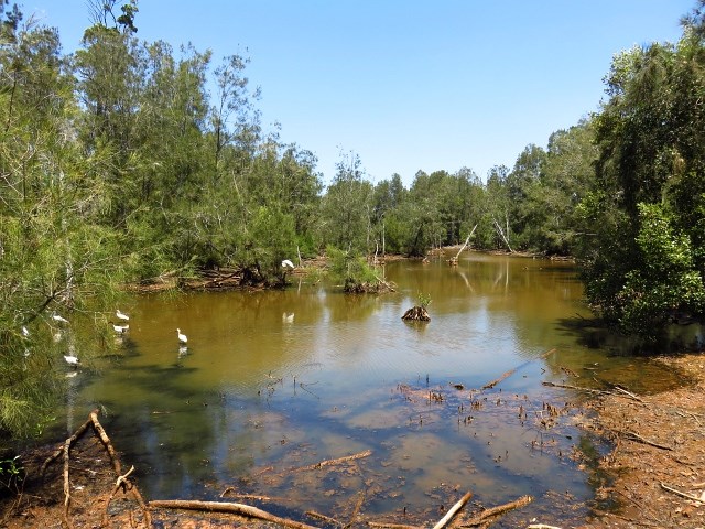
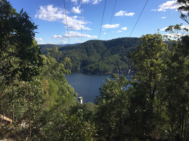
Forest Lakeside Ewen Maddock Dam
Peaceful, flat and easy walk on smooth track through forest used by the occasional mountain biker and galloping dog. After about 5 minutes you reach the lake. Beautiful view
 26
km
one-way
2
days
26
km
one-way
2
days
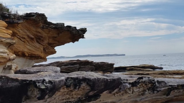
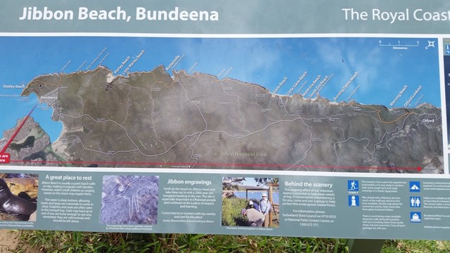
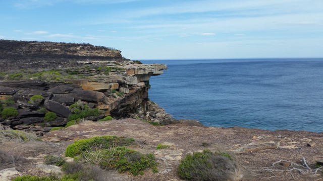
The Royal Coastal Walk
A beautiful walk with beaches, rock formations, waterfalls, water holes, lookouts and more,
 700
m
return
30
mins
700
m
return
30
mins
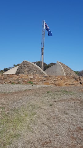
Flagstaff Hill
Flagstaff Hill, with its artistic monument, celebrates the memory of the first four ships to arrive at South Australia's first official settlement at Reeves Point in 1836. Great views of the Reeves Point and Beatrice Inlet.
 2
km
return
45
mins
2
km
return
45
mins
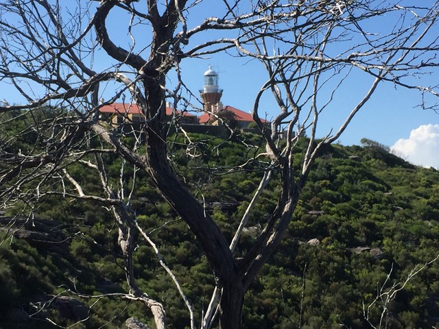
Barrenjoey Lighthouse track
To get there, take an steep and picturesque walk along Barrenjoey track for 1km. The walk to the top requires moderate fitness and will take about 30 minutes each way from Governor Phillip parking area.
 2
km
return
1
hr
2
km
return
1
hr
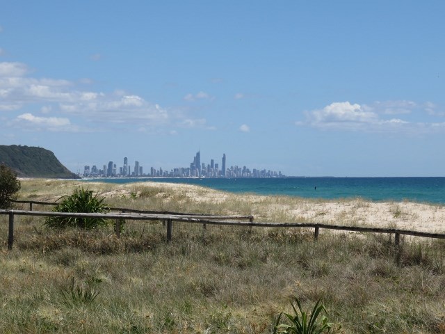
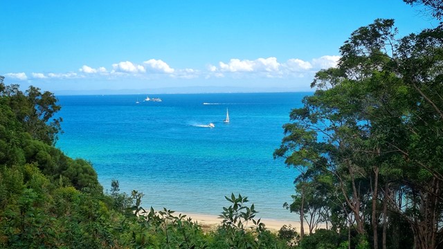
Desert Walk
Short 2k walk from beach, through trees through to the desert.
Half way up at the end of the stairs has a nice elevated view of the water and on a clear day Brisbane
 5.34
km
return
110
mins
5.34
km
return
110
mins
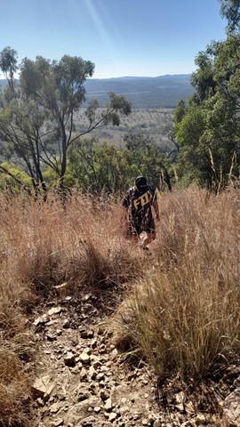
Panorama Multi Use Trail
A walk along the Tallai Range / The Panorama that offers a wide range of views between the trees.
It is very steep in sections and would advise to tackle only if relatively fit. Can be a difficult scramble down on loose rocks, don’t attempt on a hot day.
 3.4
km
return
90
mins
3.4
km
return
90
mins
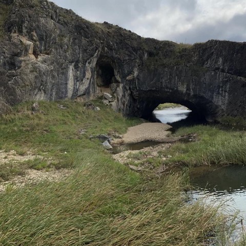
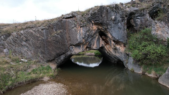
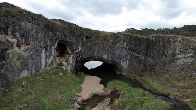
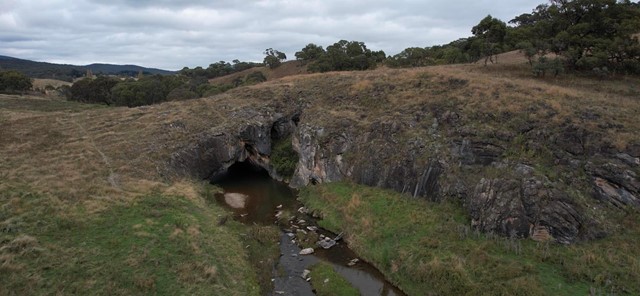
London Bridge Walking Track
This 3.4 kilometre, two hour circuit walk takes you from the London Bridge woolshed and shearers quarters, across London Bridge Arch and along Burra Creek to the homestead.
The return trip is via the management trail.
 2.5
km
return
1
hr
2.5
km
return
1
hr
Urambi Hills Walk
Urambi Hills Walk in the Urambi Hills Nature Reserve is situated approx 20mins south from Canberra CBD and offers great 360 Views
4
km
return
90
mins
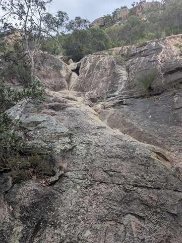
Robinson Gorge Access
This walk turns off just before the gorge lookout and takes you down to the floor of the gorge. This part of the walk is very steep but some helpful person has chiselled a few small steps into the rocks to make the descent easier. Once at the bottom you can spend as long as you like hiking in either direction up and the gorge.
 10.8
km
return
7
hrs
10.8
km
return
7
hrs
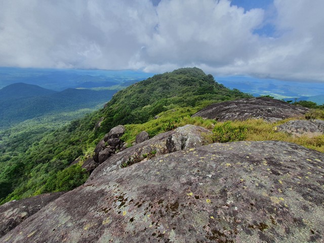
Mt Dalrymple
A long and challenging hike through thick rainforest to the summit of the highest mountain in Central QLD.
 4
km
return
3
hrs
4
km
return
3
hrs
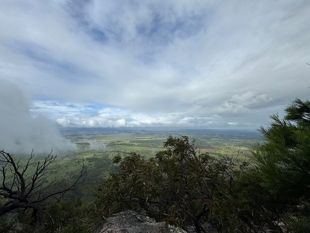
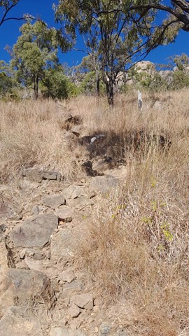
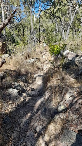
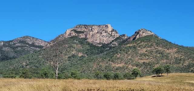
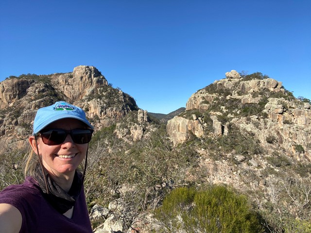
Mt Walsh
Fantastic views from the top of Mt Walsh. The climb can be difficult up at the last part. The trail is easy to follow if you have basic trail sense and is marked with flag tape and arrows painted onto rocks. No ropes are need but hand over hand climbing is required for the last part.
 6
km
return
5
hrs
6
km
return
5
hrs
Mt Walsh Tassels Track
If you've ever climbed Mt Walsh and stood out on the huge north bluff. You'd have looked down at the " four sisters " and drooled at the rocky boulders and peaks beyond.
This new track that my friends and I are marking out, turns Mt Walsh summit into an awsome through walk.
 900
m
return
20
mins
900
m
return
20
mins
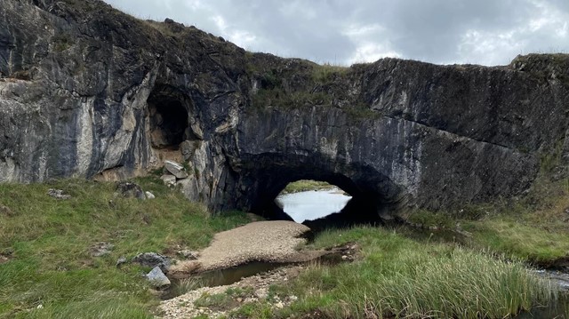
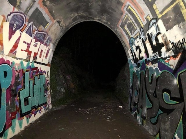
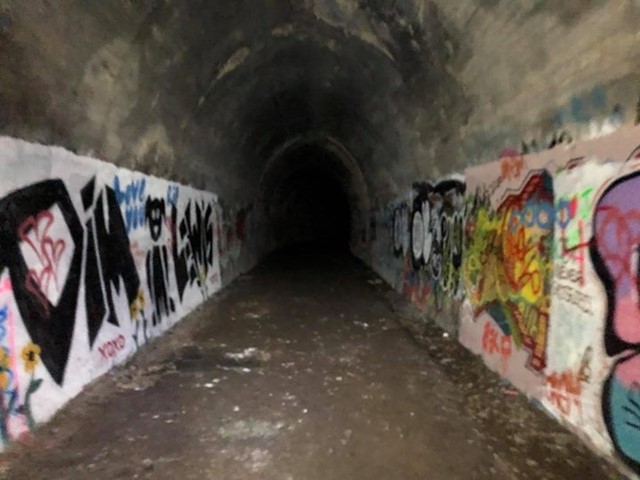
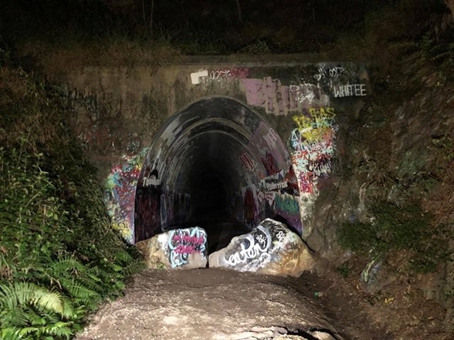
Ernest Junction Tunnel
This track follows the remnants of the South Coast Railway. With a short trail walk to the tunnel.