
Menu

 2
km
return
2
km
return
 45
mins
45
mins
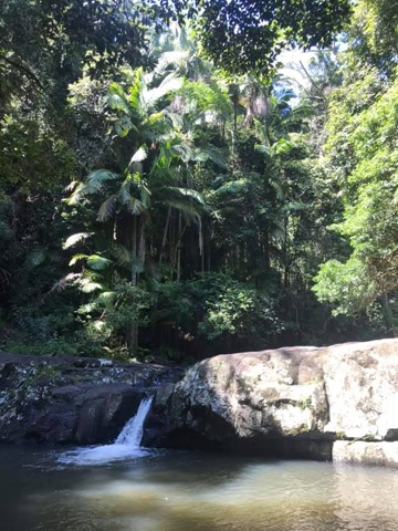
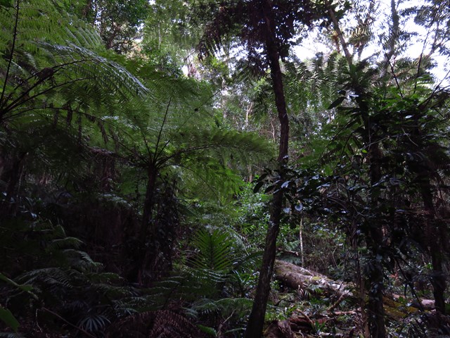
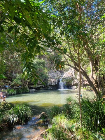
Warringa Pool Track
This is the additional park to Purlingbrook Falls that leads down to the rock pools. A nice cascade half way down and several cascades surrounding the pools. This is also part of the Gold Coast Hinterland Great Walk.
 4.2
km
one-way
90
mins
4.2
km
one-way
90
mins
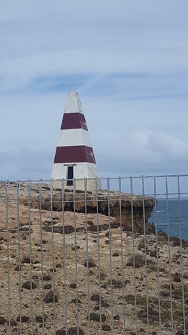
Robe Coastal Trail
An interesting cliff line walk out around Cape Dombey and back to town via the Marina.
 2.7
km
return
40
mins
2.7
km
return
40
mins
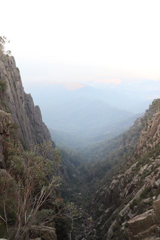
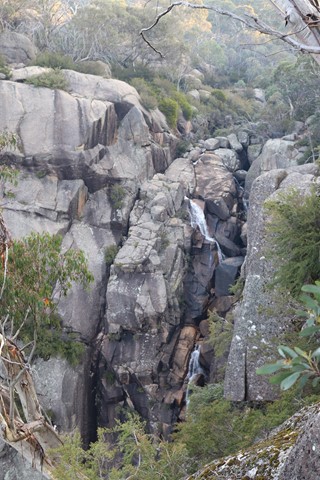
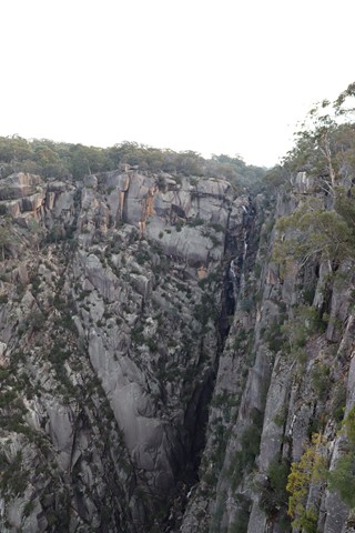
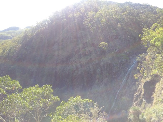
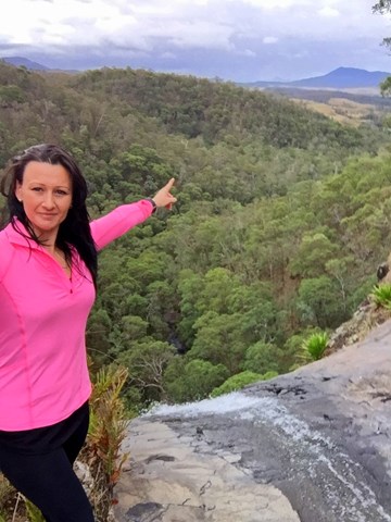
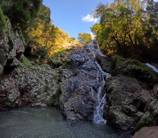
Gorge Heritage Walk
Follows the cliff edges of the gorge before crossing Crystal Brook above Crystal Brook Falls and following the opposite side of the gorge above the North wall which is 300 metres high before looping back round and then following the same track back to the Mount Buffalo Chalet.
 1.6
km
return
40
mins
1.6
km
return
40
mins
The Monolith Walk
A short walk up to the monolith with views over Lake Catani.
 2
km
return
1
hr
2
km
return
1
hr
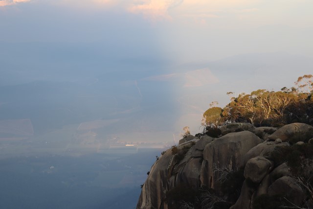
Cathedral - Hump Track
The Cathedral - Hump Walk offers spectacular views at every turn. Higher up it traverses rock slabs and is popular for capturing both sunrise and sunset photos with the Cathedral as the starring feature. The track ends at the outcrop of rocks overlooking Cresta Valley. Return the same way, staying on track, safe from unprotected cliff edges. Ends at the summit of The Hump (1695m).
 3.2
km
return
2
hrs
3.2
km
return
2
hrs
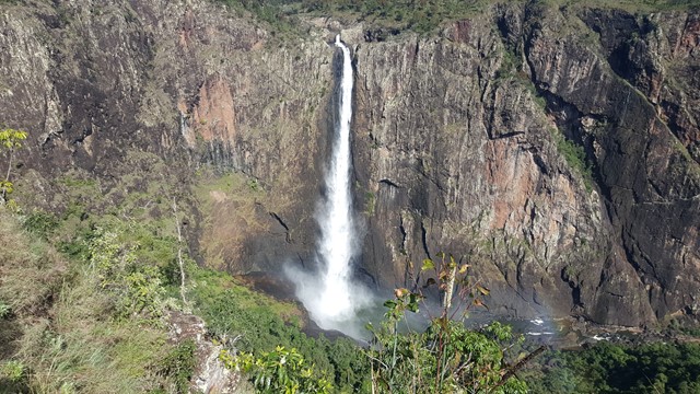
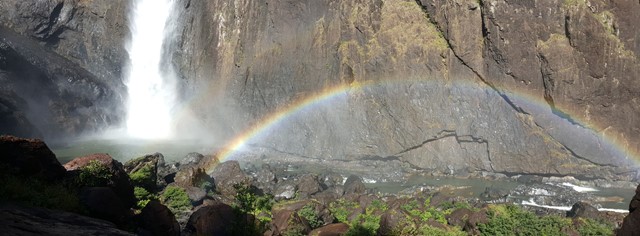
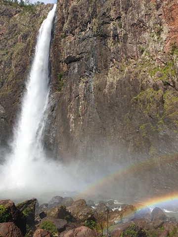
Djyinda Walk
Walk to the base of Wallaman Falls, the highest permanent single drop waterfall in Australia at 268 meters. It’s not so much the distance that makes this trail a challenge, but rather the 228 metre descent (and more importantly, ascent back to the top!). But it’s worth every step. The track wanders through open forest, along the escarpment overlooking the Herbert River Valley, into the gorge and through thick rainforest. Take care and go slow - not just because the trail warrants it, but because there are few times in your life when you’ll get to experience untouched nature like this all to yourself.
 2.9
km
return
90
mins
2.9
km
return
90
mins
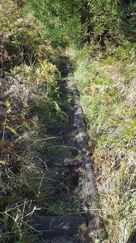
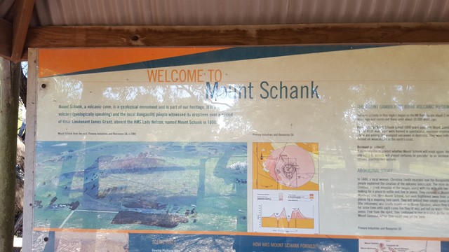
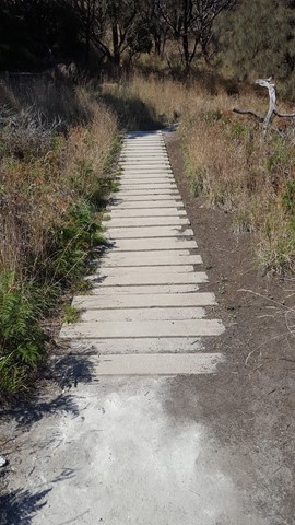
Mount Schank
Your chance to enter the centre of Mount Schank, the youngest volcano in Australia (5,000 years old) and now a 100m high dormant volcano, with a basic ash cone and base that does not extend below the water table, so there is no crater lake.
 7
km
return
3
hrs
7
km
return
3
hrs
Marmabup Rock Summit via the Devils Slide
A scenic loop that connects Hayward Peak and Nancy Peak with a bonus side trail to Marmabup Rock (the highest point in the Porongurup Ranges) via the Devils Slide track.
 2.5
km
return
30
mins
2.5
km
return
30
mins
Eddie Kornhauser Recreational Reserve
Flood plain parklands with dog off leash area, tidal water ponds and access from different neighborhoods. Network of concrete pathways.
 1.9
km
return
1
hr
1.9
km
return
1
hr
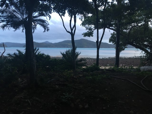
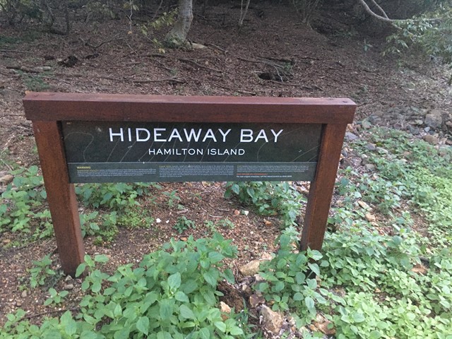
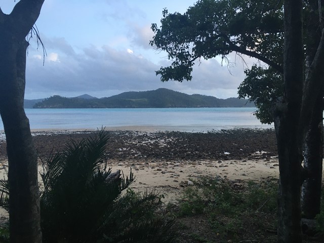
Hideaway Bay
Hidden beach is just a short stroll from the Scenic Trail Entrance located at the eastern end of Catseye Beach on Hamilton Island, Whitsundays.
 5
km
return
3
hrs
5
km
return
3
hrs
St Helena Island Walk - Moreton Bay
A short walk in St Helena Island National Park surrounded by colonial ruins.
1.3
km
return
40
mins
Simpson Falls Track
This track begins at Simpson Falls picnic area. It is excellent for wildflower viewing in late winter and spring when the golden wattles and purple hoveas of the open forest understorey burst into bloom. Walkers may catch a glimpse of the city from the Simpson Falls viewing deck.
 6
km
return
3
hrs
6
km
return
3
hrs
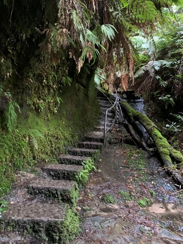
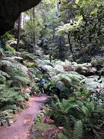
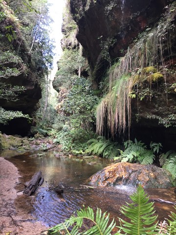
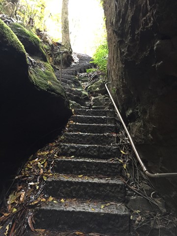
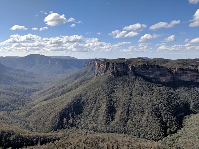
Grand Canyon Track
“Creeks, waterfalls and spectacular views are just some of the things that make this walk really great.”
Arresting sandstone walls, ever-present waterfalls and abundant native plants line the awesome Grand Canyon track near Blackheath in the Blue Mountains. The historic loop track takes you into the heart of this World Heritage-listed landscape. It's an intimate and adventurous track which walkers have trodden since 1907.
Setting out from Evans lookout, the well-shaded track meanders through luscious native vegetation of ferns and golden wattles, and remains close to Greaves Creek, all of which combine to make this a particularly good walk for the summer months. Shorten the loop by leaving a second car at the Evans Lookout Road entrance or spend the day and stop for lunch at the nearby picnic area before returning to the lookout.
Although there are loads of semi-ledges which make up this challenging walk, you don’t need specialist hiking or abseiling equipment, so comfortable walking shoes are all you’ll need to get out there and explore.
 1
km
return
30
mins
1
km
return
30
mins
Koala Park
A short easy walk down and up the hillside. It will get the heart pumping if you choose to go up the steps. Great for kids too as there is a playground at the top with BBQs.
1.2
km
return
30
mins
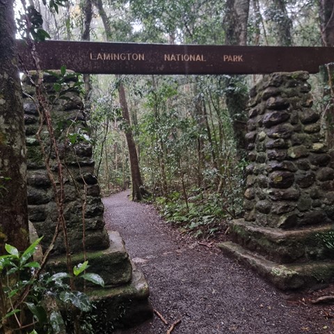
Rainforest Circuit
For a quick introduction to the rainforest, follow the Border Track for 500m, then branch right and return to the picnic area. A self-guiding brochure, produced by the Lamington Natural History Association is available at the Information Centre, the Lamington Teahouse and at Binna Burra Lodge.
 9.5
km
return
3.5
hrs
9.5
km
return
3.5
hrs
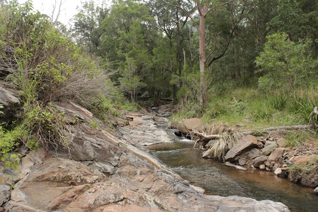
Gap Creek Falls
This is a moderately strenuous walk, with good views and a nice creek to paddle in.
 4.7
km
2
hrs
4.7
km
2
hrs
Kondalilla Falls Circuit
Kondalilla Falls (80m) is one of the most spectacular and accessible falls on the Sunshine Coast Hinterland. The walk down to the falls is 'family friendly' with some rock stairs and a maintained path. Great views of the rainforest valley from the natural rock pools at the top. You can swim in the rock pools at both the top and bottom of the falls.
 5.3
km
one-way
90
mins
5.3
km
one-way
90
mins
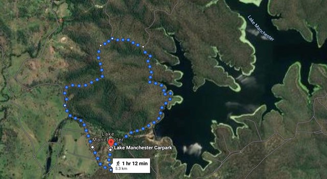
Lake Manchester Short Loop
A shorter way to see some of Lake Manchester without having to double back.
 37.5
km
return
2
days
37.5
km
return
2
days
Running Creek Falls Via Stinson Track
Running Creek Falls Campsite via Stretcher Track
Christmas creek road..
-to Westrays Grave
-to Stinson Remote Bush Camp
-to Point Lookout Bush Camp
-to Running Creek Bush Camp
-to Falls
-to car at Gap Creek Road
6
km
return
4
hrs
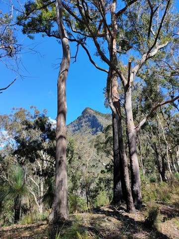
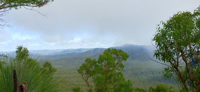
Spicer's peak
A steep and loose ascent from Governor's Chair. The views are great over the Fassifern Valley.