
Mt Dalrymple
Mackay, Isaac and Whitsunday


Menu
A long and challenging hike through thick rainforest to the summit of the highest mountain in Central QLD.

Getting there
Drive to the end of Dalrymple Road. There is plenty of room to park without blocking the driveways. The track has a small National Park sign next to it.
Route/Trail notes
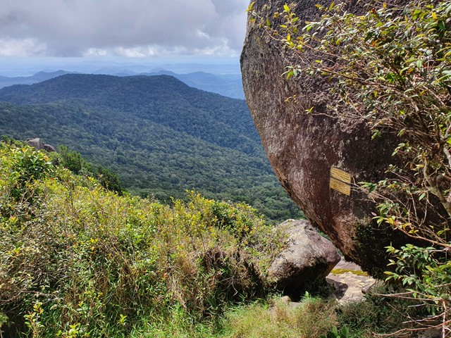
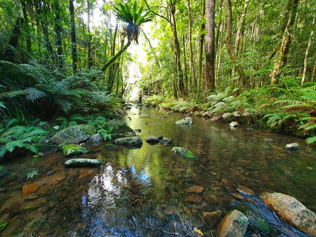
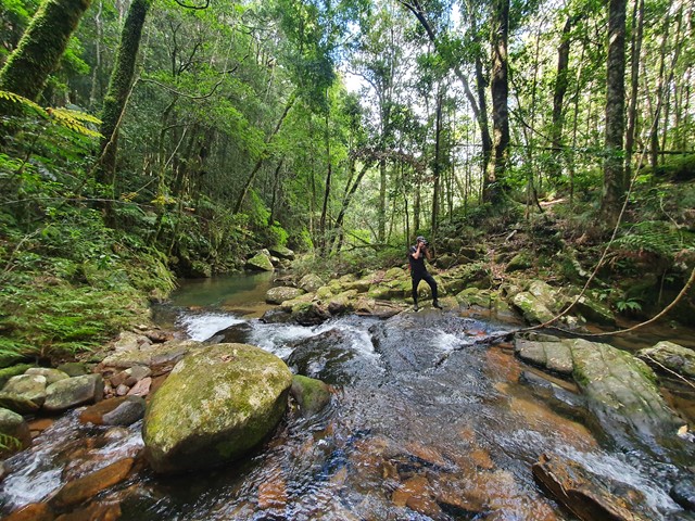
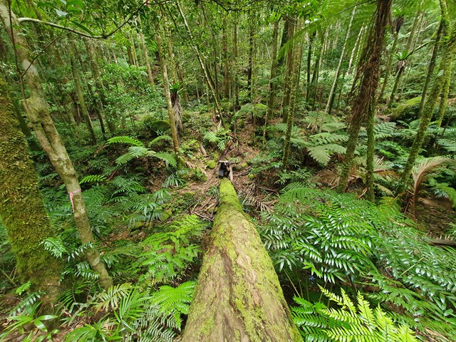
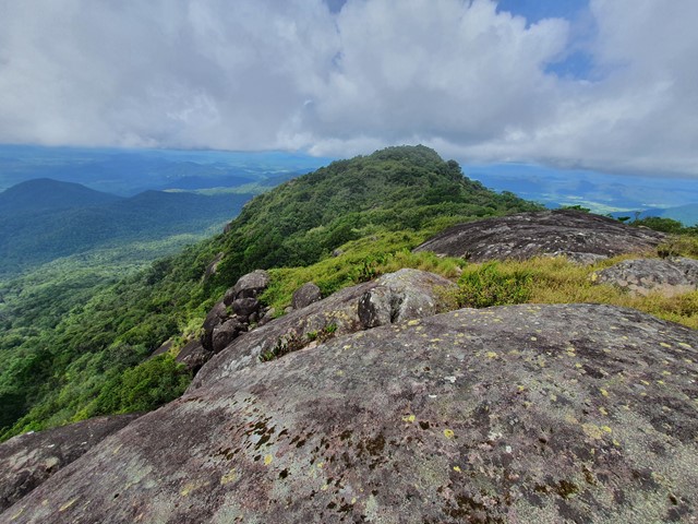
After parking you will enter the rainforest along a reasonably maintained track. The track has heaps of pink ribbons however there are a few phantom ribbons that can be a bit misleading (most likely remenants of old tracks that have been blocked by falling trees). It is advisable to bring a GPS or be experienced in navigating in rainforest as there are definitely opportunities to get misplaced. The track is very rarely flat, you will spend a lot of time climbing, descending and crossing rivers. The final creek crossing will have a small sign advising it is the last water before you reach the top of the mountain. From that point it is a steep climb to the summit which is marked with a bunch of signs and engravings. You can scramble up on top of the huge boulders that sit on the summit to get an incredible view all the way out to the ocean.
Permits/Costs
Free
Other References
https://www.alltrails.com/trail/australia/queensland/mount-dalrymple-via-western-trail
GPS Tracks
- No GPS available for this walk yet.
 10.8
10.8 7
7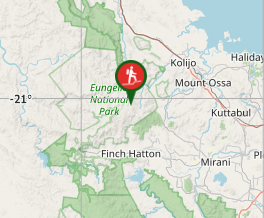
Comments