
Menu

 6
km
return
6
km
return
 2.5
hrs
2.5
hrs
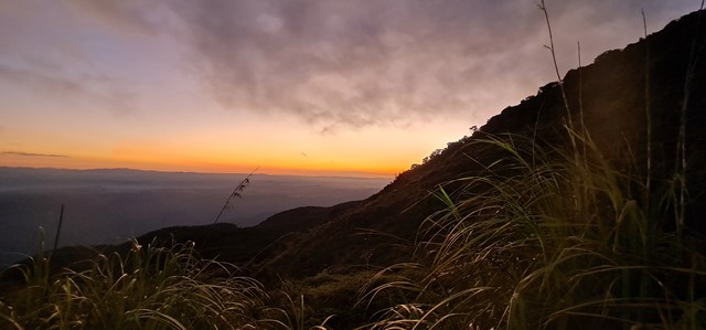
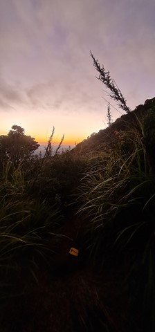
Westside Track
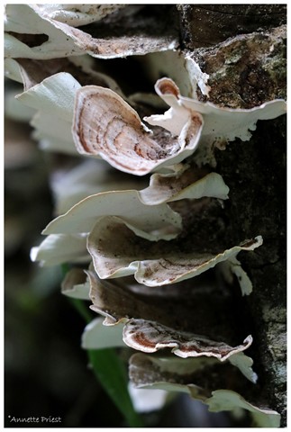
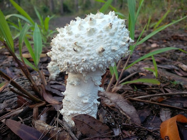
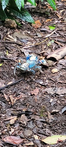
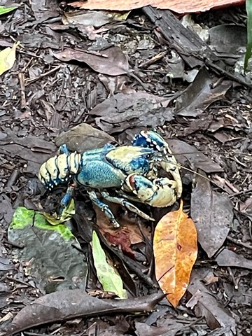
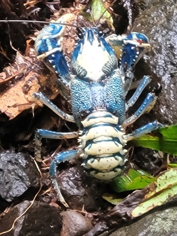
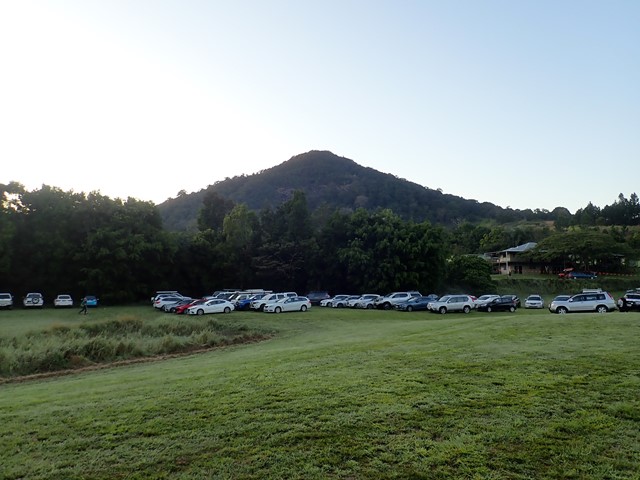
On the opposite side of the Maiala Picnic Area there is a small clearing. Some BBQ tables and chairs are there as well as a fire ring. At the entrance to the walking track there's an information board. Full great info and history.
 500
m
return
30
mins
500
m
return
30
mins
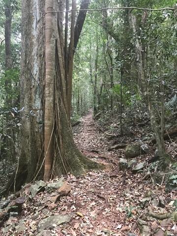
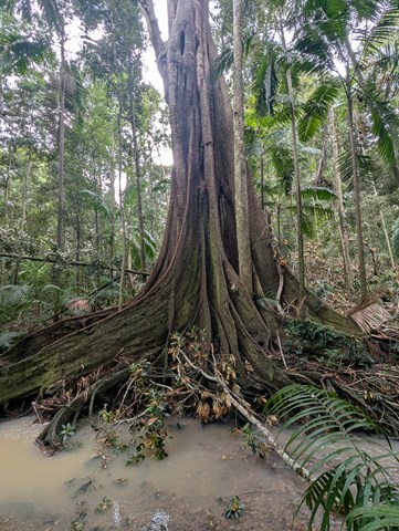
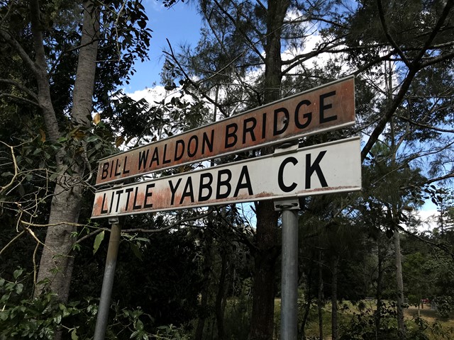
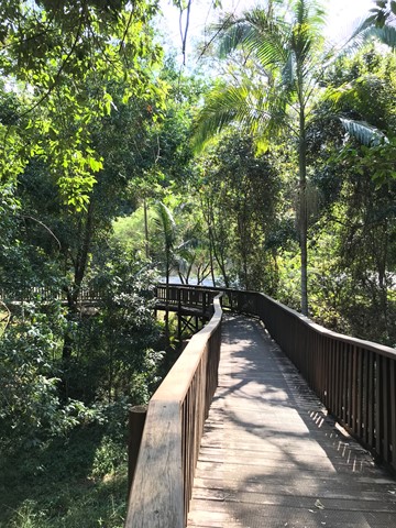
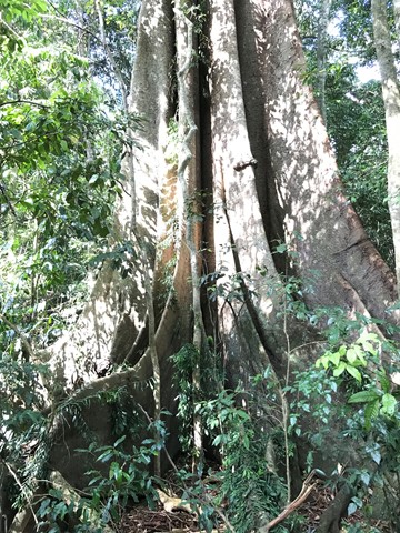
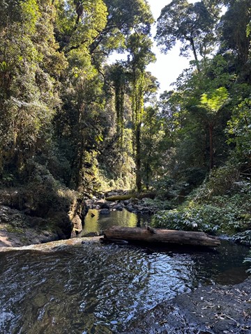
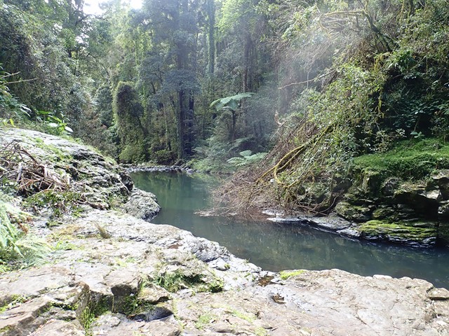
Fig Tree Walk
Short walk along a boardwalk, lots of fig trees and wildlife. From the picnic/ parking place you have to cross the bridge to reach the trail head.
 5.3
km
return
90
mins
5.3
km
return
90
mins
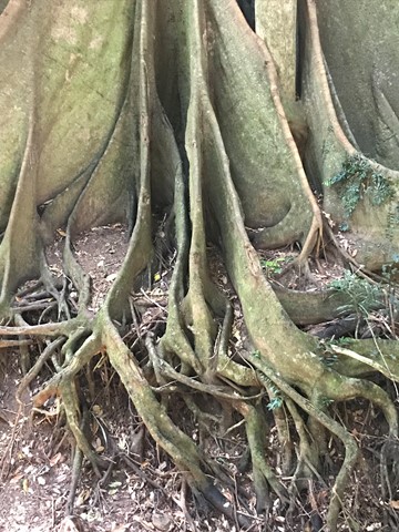
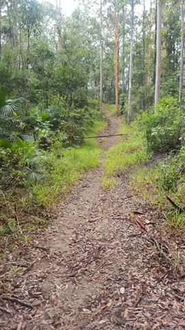
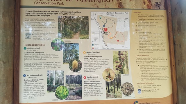
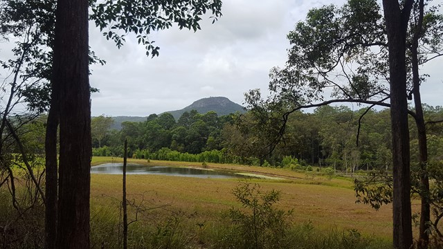
Coobong Circuit
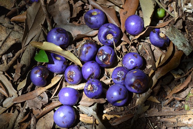
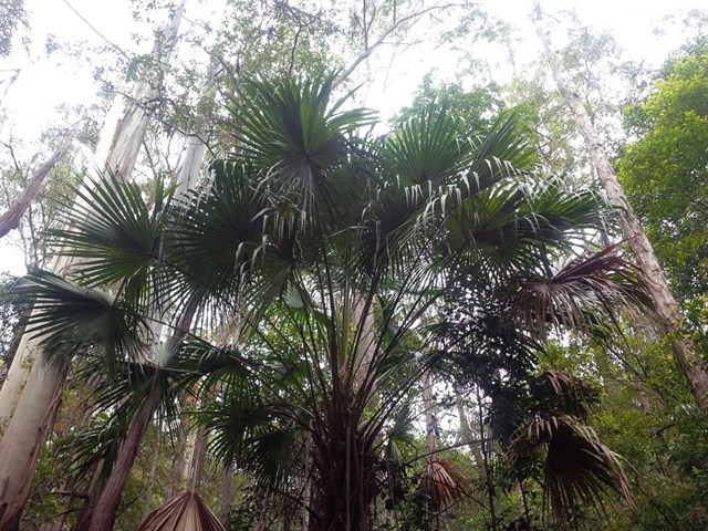
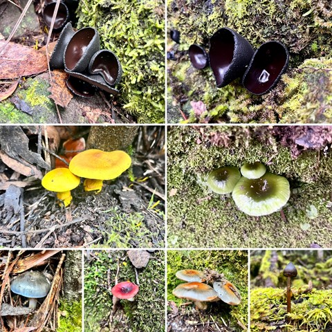
Travel through open eucalypt forest where bloodwood and tallowwood trees are common and banksias, wattles, grass trees and hopbush grow in the forest understory.
In more protected, wetter areas, the forest features flooded gum, turpentine, cabbage tree palm, piccabeen palm, stinging tree and some rainforest plants. You will cross two small creeks and pass bee hives on this circuit.
 1.5
km
return
30
mins
1.5
km
return
30
mins
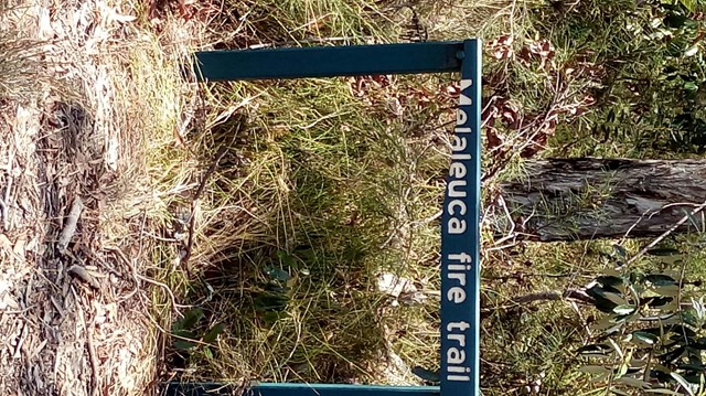
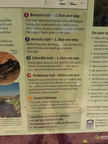
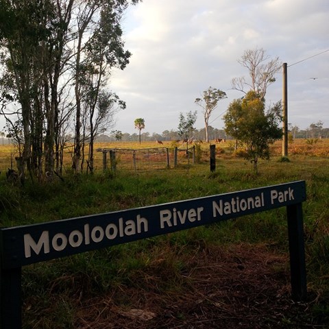
Melaleuca Trail
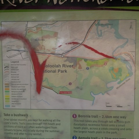
Adjoining the Mooloolah River, the Mooloolah River National Park protects valuable remnants of coastal lowland habitat, rainforest, open eucalypt woodlands, melaleuca forests, wallum banksia woodlands, scribbly gum open forests, wallum heath and sedgelands.
 2.6
km
return
90
mins
2.6
km
return
90
mins
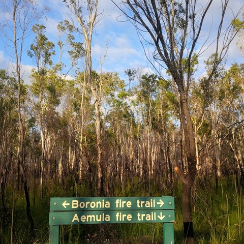
Aemula Trail
Adjoining the Mooloolah River, the Mooloolah River National Park protects valuable remnants of coastal lowland habitat, rainforest, open eucalypt woodlands, melaleuca forests, wallum banksia woodlands, scribbly gum open forests, wallum heath and sedgelands.
 4.2
km
return
2
hrs
4.2
km
return
2
hrs
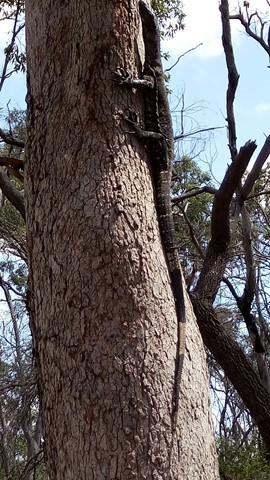
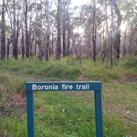
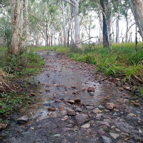
Boronia Trail
Did the full circurt , some bog holes to navigate not hard. Nice and close to home. Good bird life and some nice wild flowers out on show.
 18
km
6
hrs
18
km
6
hrs
West Canungra Creek Circuit
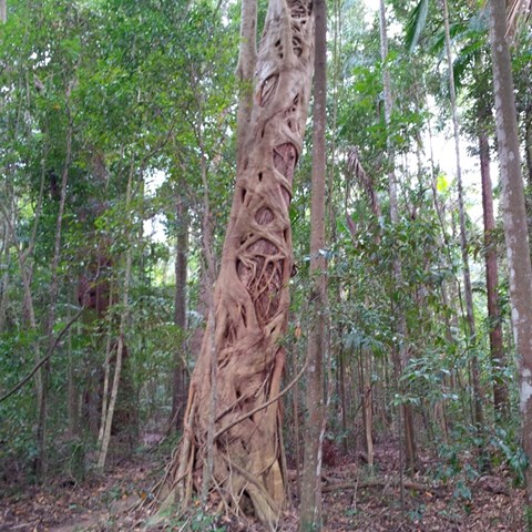
The circuit descends to 'Yerralahla' (blue pool) passing by some large rainforest trees including red cedar Toona ciliata, and then follows the creek for most of its length, crossing it several times. Eels inhabit the West Canungra Creek. They bite when threatened and injuries have occurred. Creek crossings may be difficult to navigate and the circuit might not be obvious in places. Take particular care at creek crossings, especially after rain. Check track conditions with a ranger before you leave. The circuit exits via the Box Forest circuit.
 6.2
km
return
7
hrs
6.2
km
return
7
hrs
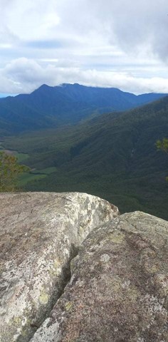
Walsh's Pyramid
A very steep walk up the highest free standing pyramid in the world. You start at 20 metres, to the top at 884 metres.
 1
km
return
40
mins
1
km
return
40
mins
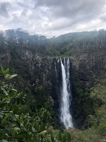
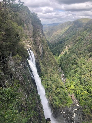
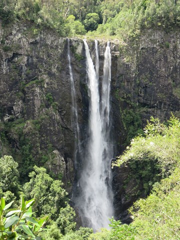
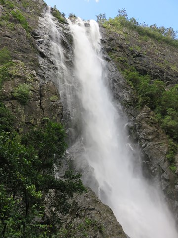
Ellenborough Falls - Base of Falls
A walk to the base of Ellenborough Falls - one of the highest waterfalls in Australia.
 5.1
km
return
90
mins
5.1
km
return
90
mins
Maculata Track
A pleasant walk to a part of Mt Cootha less travelled. It winds down to Bardon reservoir then around Kulgan Cct returning to the start by Bardon Track.
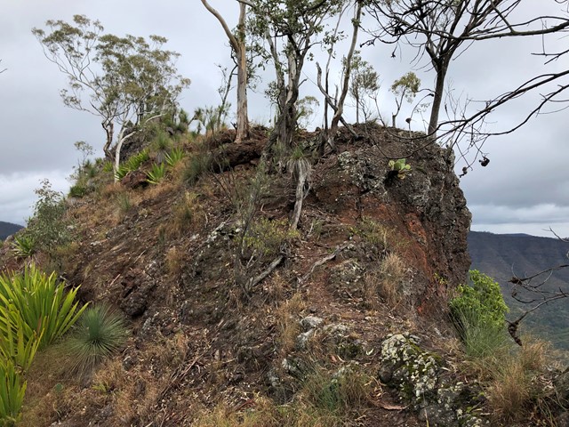
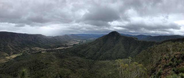
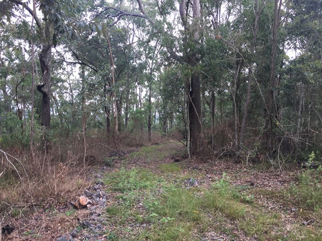
Pine Gorge and the ‘Shower Room’ (Lower Mcgrory Falls)
Please note that this is not a formed walking trail, is located in a reasonably remote location and that a degree of navigation skills are advised. The walk is best started from the end of the old log haulage road off of Saddle Tree Creek Road (-26.8636213, 151.6332056). From the small dirt patch at the end of the log road near Saddle Tree Creek (enough for a couple of cars to park), follow the main eroded creek bed. There is lantana and fallen trees in this lower section of creek, so a good degree of care should be taken. Using the usually dry creek bed to navigate, you will come to a fork at approximately -26.8663406, 151.6258194. Take the branch to the right, following the creek bed. The vegetation will gradually change from dry eucalyptus scrub and ‘balds’ to wet scrub as you ascend along the creek. If correctly followed, the Saddle Tree Creek bed should gradually begin to contain small permanent pools (even in drier weather). In normal conditions, at this stage the creek will begin to contain running surface water. Bunya Pines with the centuries old characteristic cut out ‘foot holds’ from Aboriginal visitors can be spotted as the only sign of human disturbance. Towards the end there are some small waterfalls that will need to be carefully scaled. The walk will end in a narrow gorge at approximately -26.8752181, 151.6039648, with a fairly impressive waterfall (except during very dry times) giving the illusion of a shower cubicle.
15
km
return
12
hrs
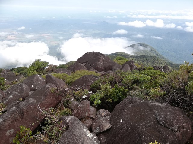
Mount Bartle Frere - Eastern Approach
Mount Bartle Frere is Queensland's highest mountain. The eastern approach is a serious undertaking - after the Hannel Spur route up Mount Kosciuszko (1,800m elevation gain), it has the second most elevation gain of any summit in Australia (1,500m). Objective hazards include the boulder field below the summit which, due to the fact that orographic lifting means that the summit spends the majority of time in the cloud, is usually wet and slippery.
 3
km
return
2
hrs
3
km
return
2
hrs
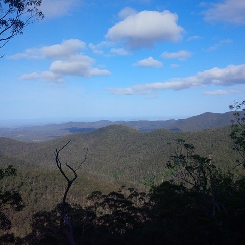
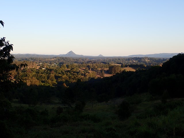
Mount Cooroy
Mount Cooroy is 438m high and provides great views around the Sunshine Coast. Access to the mountain is through private property and public access is only available once a year at the Cooroy Mountain Spring Festival. The festival was held in August.
Please respect the private property and do not access without permission.
Two great lookouts at the top.
 8
km
return
2.5
hrs
8
km
return
2.5
hrs
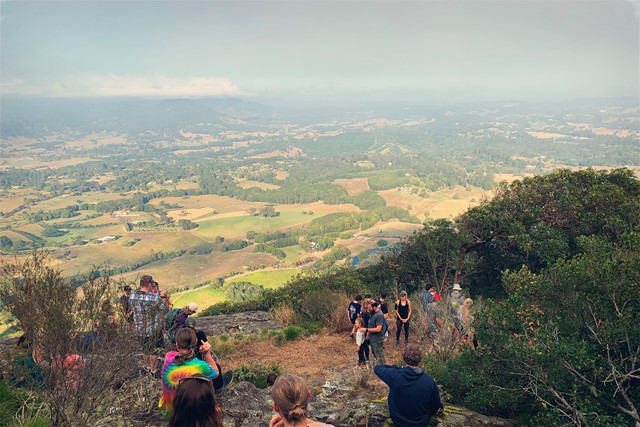
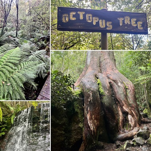
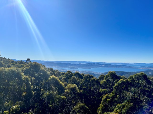
Sphinx Rock and The Octopus Tree
Start this hike from Fern Tree. It’s a wonderful, damp and luminous green hike through rainforest and skirting around some of Mt Wellington to provide impressive views from Sphinx Lookout. On the way back, take a look at The Octopus Tree!
 6.5
km
return
4
hrs
6.5
km
return
4
hrs
Mt Beau Brummell
An off-track walk on a rarely climbed mountain, with good views at the summit. This walk is closed to public access.
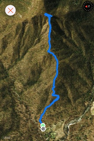
5
km
return
3
hrs
Glen Rock
Glen Rock State Forest is situated at the head of Tenthill Valley and adjoins the World Heritage-listed Main Range National Park.
 7.5
km
return
87
mins
7.5
km
return
87
mins
Hartleys Creek Falls
A 7.5 km out and back hike with some undulations .
17
km
return
5
hrs
Labillardiere Peninsula Track
Walk description is for completing the circuit clockwise.
Beautiful walk that starts along a firetrail, beside seaside cliffs and rocky beaches up to the summit of Mount Bleak. Afterwards the track walks along multiple white sand beaches and a narrower track through bushland
3
km
return
45
mins
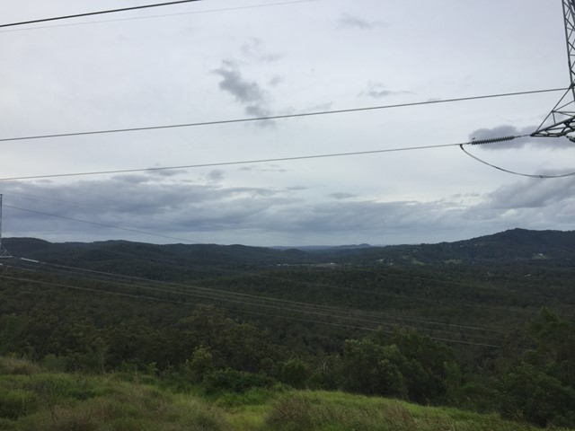
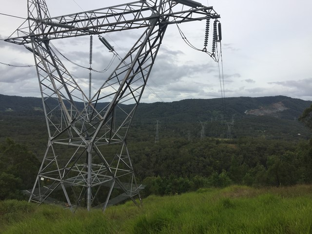
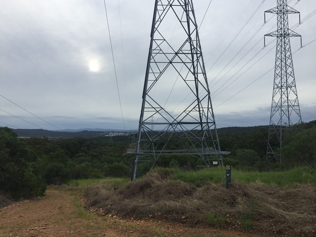
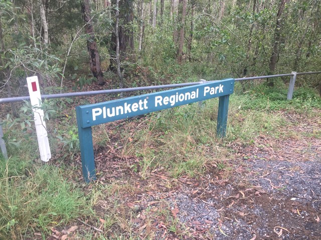
Wickham National Park High Point
A walk from the end of Flesser Road through Plunkett Conservation Park and into Wickham National Park and to the highest point in the National Park.
 5
km
return
80
mins
5
km
return
80
mins
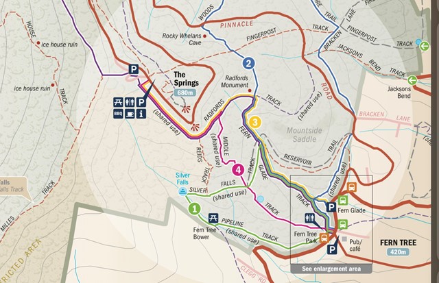
The Springs
The Springs is about half way up Mt Wellington. You can walk or drive up and there are picnic areas as well as a coffee shop. There’s a great short loop (about 5 minutes) out to The Springs Lookout that has terrific views over Hobart and surrounds.