
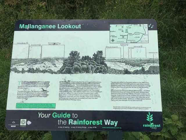
Mallanganee Lookout
New South Wales


Menu
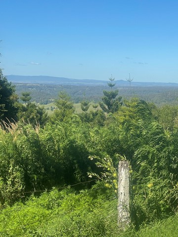
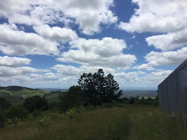

Lookout on the edge of Mallanganee National Park.
Lookouts
Picnic Facilities
396m
Maximum Elevation

Getting there
How do you get to the start of the walk?
Mallanganee Lookout Road off of Bulmers road a signed turn off the Bruxner Highway
Maps
Which maps cover the area?
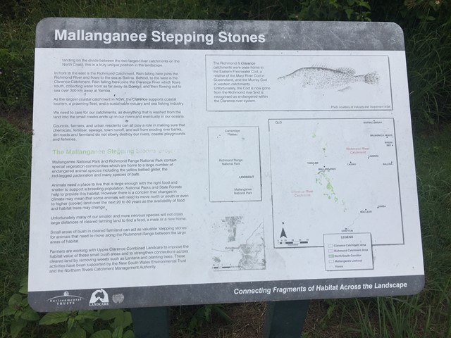
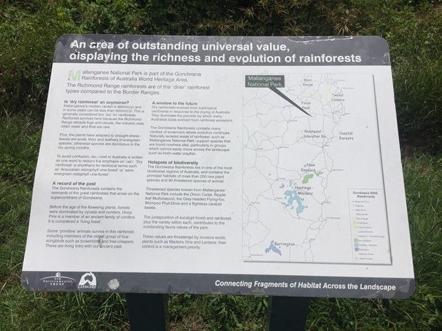
Maps of Mallanganee National Park
Route/Trail notes
A detailed description of the walk!
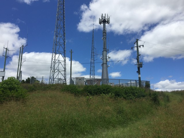
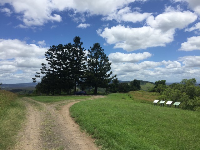
Park at the lookout and wander over to the information signs and then up to the radio towers on the little peak for some further views.
Permits/Costs
Do you need any permits? What's the cost?
Free
Other References
How can I find more info? Any guide books?
GPS Tracks
- No GPS available for this walk yet.
 200
200 20
20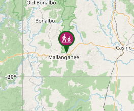
Comments