
Menu

 2.5
km
return
2.5
km
return
 40
mins
40
mins
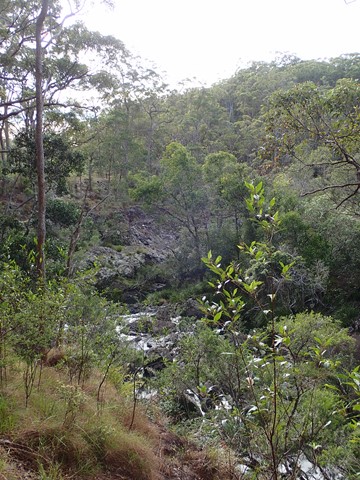
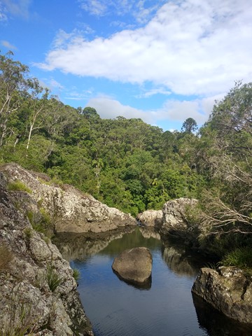
Tingalpa Creek Circuit
Meander beside Tingalpa Creek and discover the many plants and animals that this bushland refuge supports.
 700
m
return
30
mins
700
m
return
30
mins
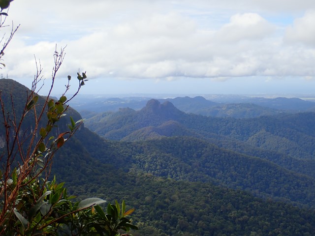
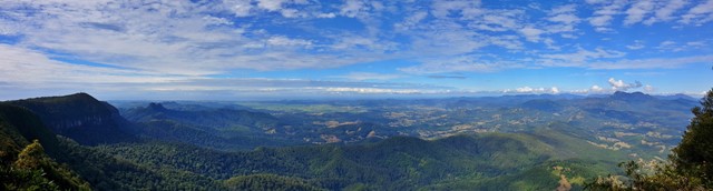
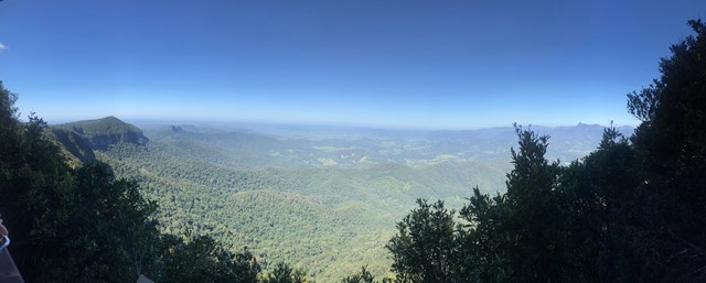
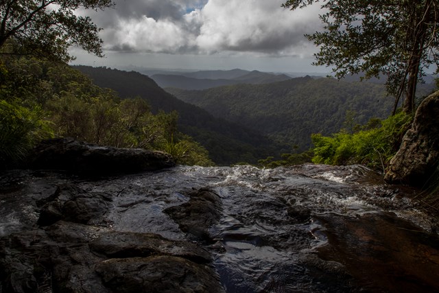
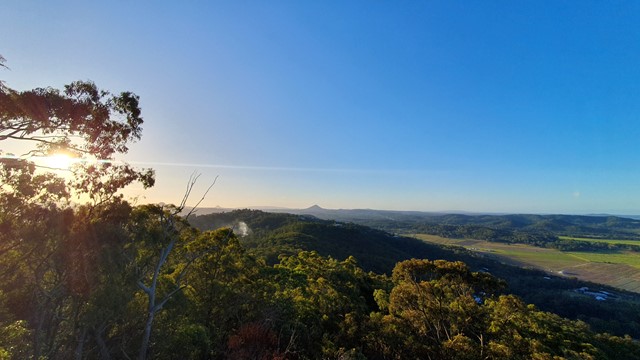
Best Of All Lookout
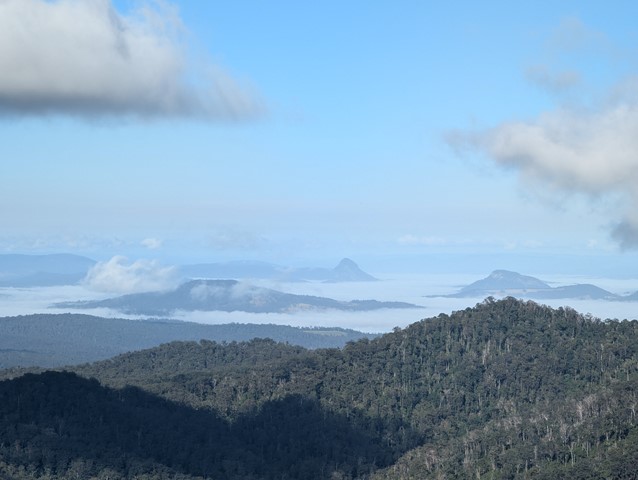
It makes lofty claims... and meets them! This short walk is well worth the effort with excellent views of the Tweed Valley including Mt Warning, Byron Bay and The Cougals. Plus, it includes one of the most accessible stands of Antarctic Beech Forest (Nothofagus Moorei) in Queensland. If you haven't been there, make sure to stop off next time you're on the plateau.
 4.6
km
return
90
mins
4.6
km
return
90
mins
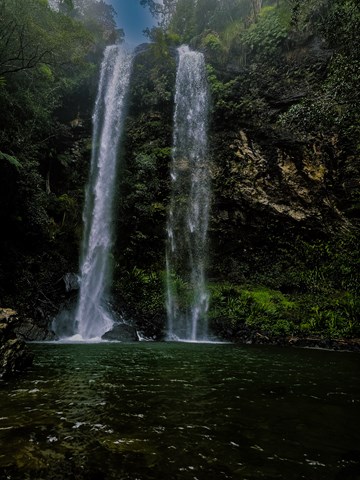
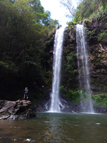
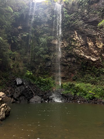
Twin Falls Circuit
A rewarding sheltered walk through rainforest rock clefts and behind the twin falls.
 3.3
km
return
90
mins
3.3
km
return
90
mins
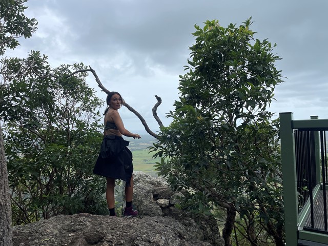
Mt Ninderry
A pleasant walk following a stepped track to a large plateau with two viewing platforms. One covers the west, overlooking Yandina and the Blackall Range, the other is to the east overlooking Mt Coolum.
 500
m
return
30
mins
500
m
return
30
mins
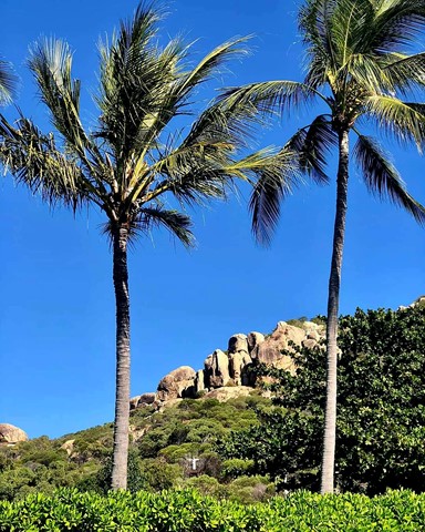
Horseshoe Bay - Rotary Lookout
A short 10min pathed walk through some light vegetation, past some really beautiful rocks and up to a viewing platform over Horseshoe Bay
 4.6
km
return
90
mins
4.6
km
return
90
mins
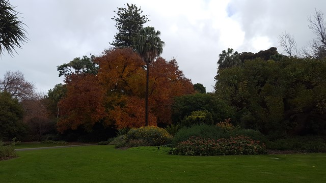
Royal Botanic Gardens
Numerous looping pathways through the gardens, starting from the Visitor Centre with a range of ornamental ponds and lakes, garden, plant and tree collections.
 6.9
km
return
2
hrs
6.9
km
return
2
hrs
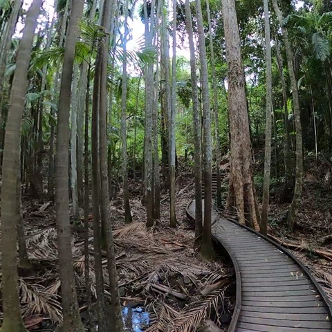
Piccabeen Circuit
Piccabeen Circuit provides a pleasant walk through piccabeen groves, tall blackbutt forest and rainforest communities and across various creeks.
 15
km
return
10
hrs
15
km
return
10
hrs
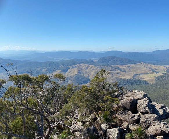
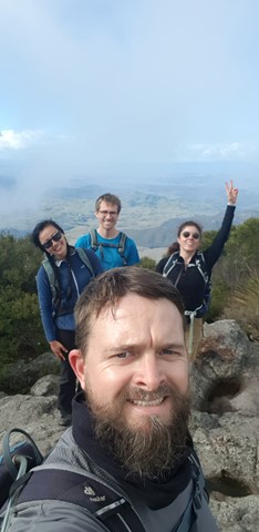
Mt Barney - East Peak - Up South-East - Down South
Ascent of Mt Barney via South East Ridge and descent via Peasants Ridge: a challenging but rewarding hike. The views are amazing and certainly worth the effort. If coming from Brisbane leave early and aim to be at Yellow Pinch car park by 7:30-8 am. Allow 3-4 hours for the ascent via the South East Ridge track and 2-3 hours for decent via South Ridge (Peasants Ridge) track.
 2
km
return
45
mins
2
km
return
45
mins
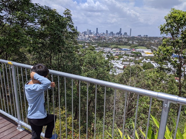
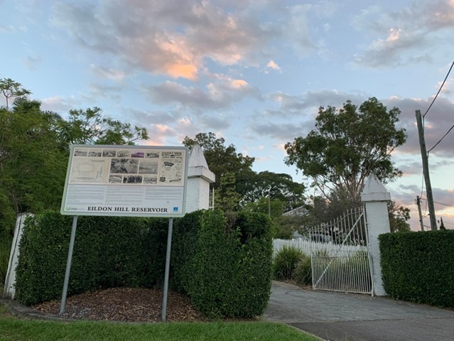
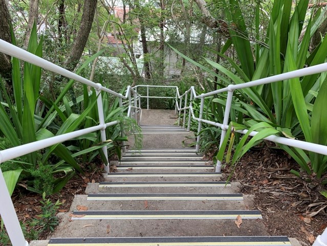
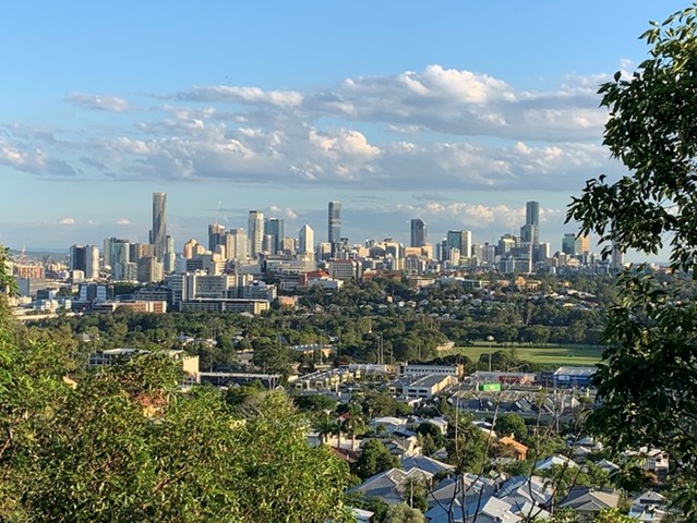
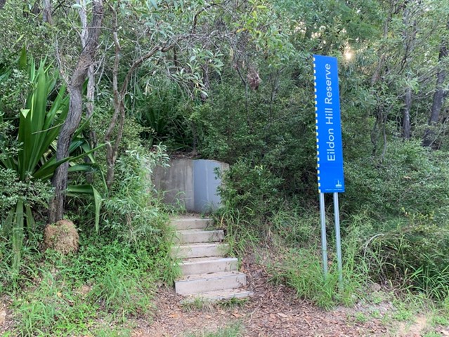
Eildon Hill Reservoir
Eildon Hill Reservoir sits at the summit of Eildon Hill, which is a strategic location for viewing the City, Moreton Bay, the Border Ranges, Cunningham's Gap, Taylor and D'Aguilar Range.
Recently a new lookout has been build as a project to improve the great places in the suburb, make them safer and connect them with the communities, family and friends. There are walking trails on the steep hill of the reservoir, which connect Windsor and Wilston suburbs. The Loop walk is upgraded as well.
https://www.weekendnotes.com/eildon-hill-reserve/192915/
 12.6
km
one-way
4
hrs
12.6
km
one-way
4
hrs
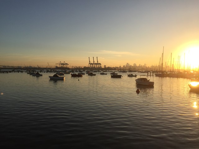
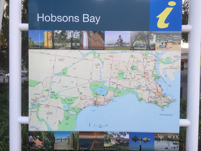
Hobsons Bay Coastal Trail
Coastal Walk (Port Phillips) that traverses Point Gillibrand Coastal Park, Jawbone Conservation Reserve and Altona Coastal Park.
 6
km
return
4.5
hrs
6
km
return
4.5
hrs
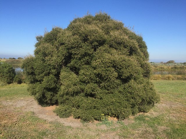
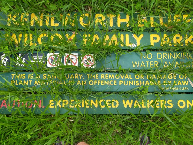
Kenilworth Bluff - Wilcox Family Park Trail
A seldom used trail through a mixture of woodland and rainforest to the top of the bluff. Make your way up and across to numerous lookout points with spectacular views..
 6.5
km
return
2.25
hrs
6.5
km
return
2.25
hrs
Three Falls Trail
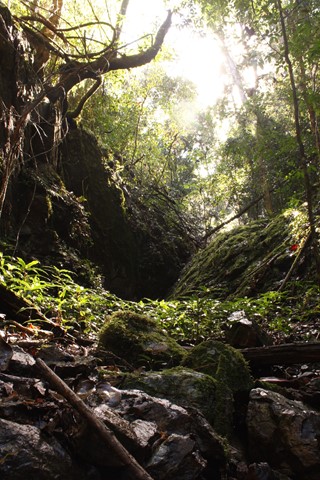
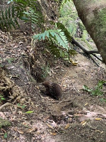
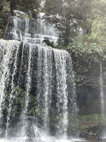
Mt Field National Park is Tasmania's oldest and most loved NP. The park has a wide variety of scenic features and wildlife and offers a great range of facilities for visitors. Few other National Parks in Australia offer such a diversity in vegetation, ranging from tall swamp gum forests and massive tree ferns at the base of the mountain. The park essentially has two visitor sections. The first, near the park entrance, includes picnic facilities and the famous Russell Falls. Stunning walks through enormous fern forests and some of the tallest trees in the world are available in this area.
 6.6
km
return
2
hrs
6.6
km
return
2
hrs
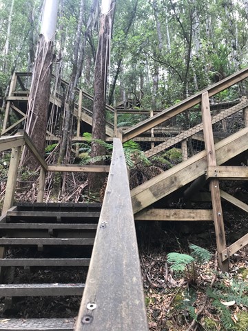
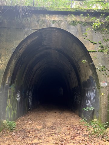
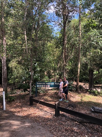
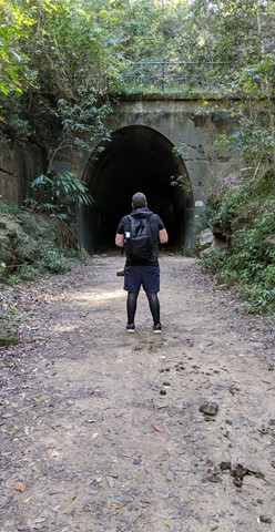
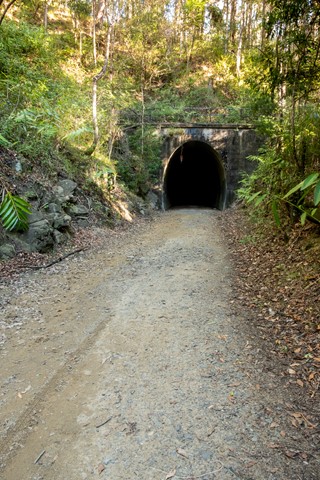
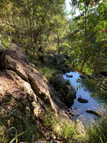
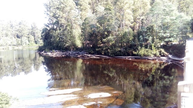
Dularcha NP - Tunnel Track
Walk, ride or cycle this track, which takes you through the heritage listed railway curved tunnel (94m). Eucalypt forest and riparian areas with flooded gums, cabbage tree palms and rainforest plants feature here and provide habitats for a diversity of wildlife. Birdwatchers will enjoy the diversity of birds along the trail early and late in the day.
 1.8
km
return
1
hr
1.8
km
return
1
hr
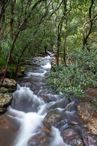
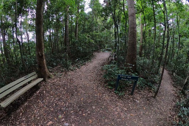
Mapleton Falls & Wompoo Circuit
This walk winds through rainforest and eucalypt forest, whilst providing views of the 120m falls tumbling down the escarpment from Pencil Creek into Obi Obi Valley.
 2.5
km
return
1
hr
2.5
km
return
1
hr
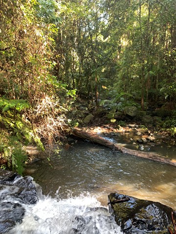
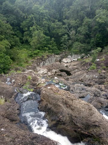
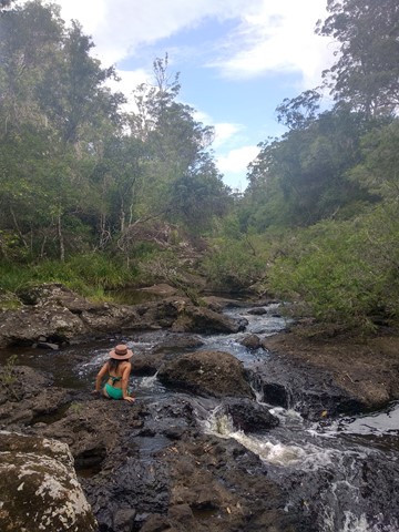
Kureelpa Falls
A hidden gem in the Mapleton National Park, with water from the South Maroochy River cascading over boulders before falling 30m into a hidden gorge.
 2
km
return
1
hr
2
km
return
1
hr
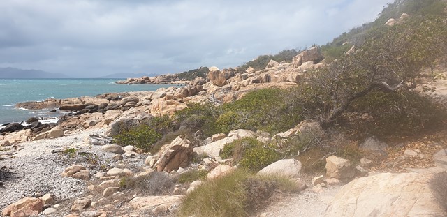
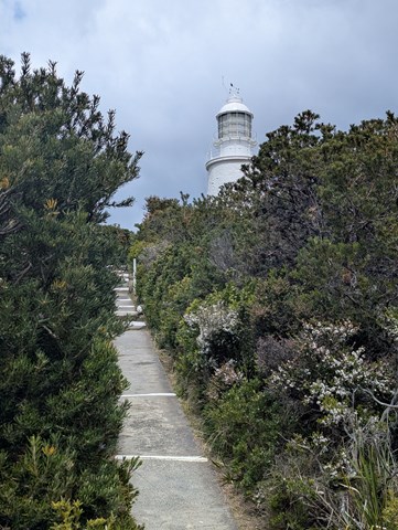
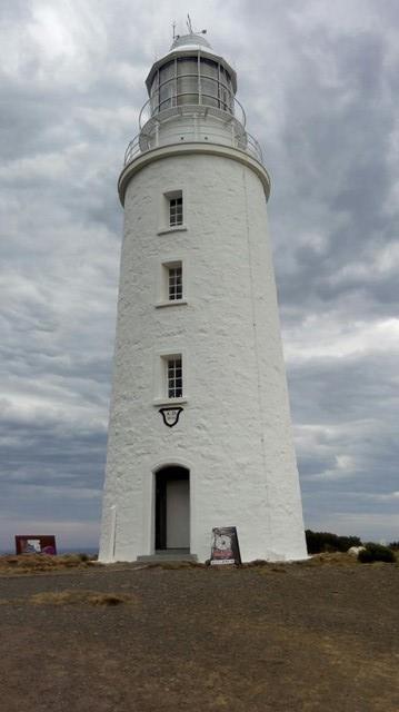
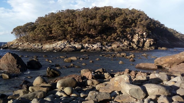
Cape Bruny Lighthouse
Situated in the South Bruny National Park, take in the sweeping southern views to the wild Tasman Sea, South East Cape, Whale Head and the small islands dotting the coastline. Experience the vastness and wonderful photo opportunities at every point of the compass, with Albatross, Gannets and many other pelagic seabirds gliding over the relentless ocean swells. Observe migrating whales, as well as Short Tailed Shearwaters and Wedge Tailed Eagles swooping close to the tower.
 400
m
return
30
mins
400
m
return
30
mins
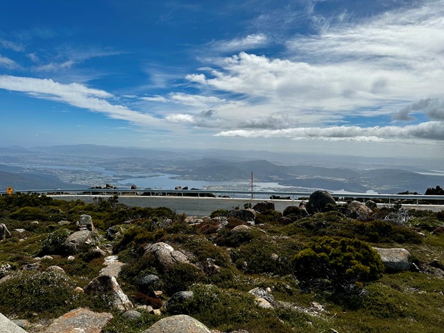
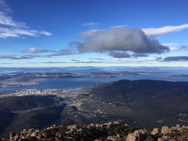
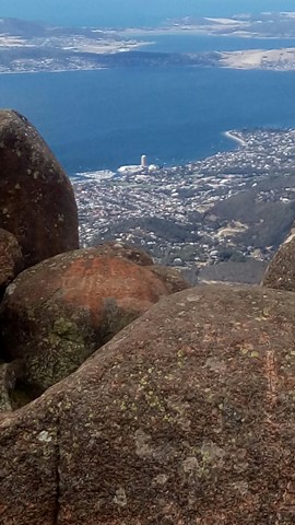
Mt Wellington - Summit Lookouts
At 1,270m, Mt. Wellington provides absolutely stunning views of Hobart and the surrounding area, the Derwent Estuary, Storm Bay and beyond.
 4.3
km
return
90
mins
4.3
km
return
90
mins
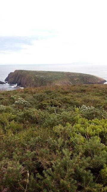
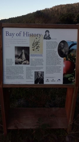
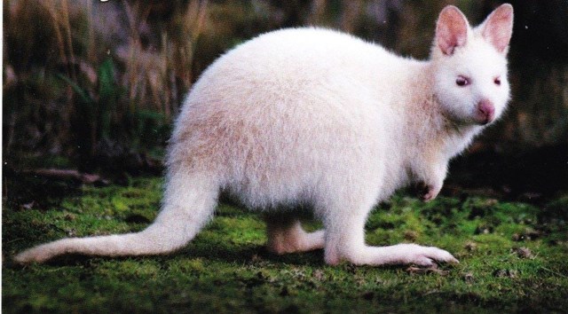
Grass Point Track
Home of the white wallaby, if you are lucky enough to see one. This track passes the remains of a whaling station out to the 'whaler's lookout' and Penguin Island. This area is of great historic significance, with Abel Tasman landing here in 1642 and Captain James Cook some 135 years later in 1777.
 3
km
return
2
hrs
3
km
return
2
hrs
Tahune Airwalk
This is a part 'man made' structure that takes you to the tree tops and back, plus a walk among the river to see some of the most ancient trees on the planet, the Huon Pine.
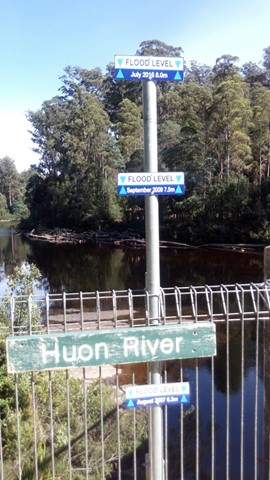
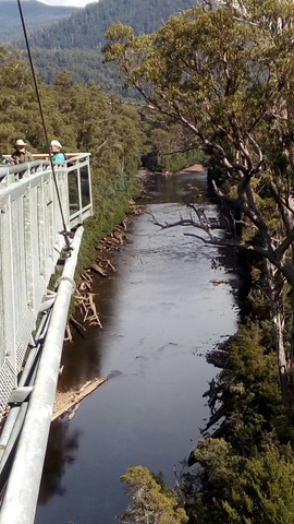 1.2
km
return
30
mins
1.2
km
return
30
mins
Western Window Track
This track starts from the top of Maiala day-use area (the south side of Mount Glorious Road) and runs along the escarpment to the Western Window—an expansive undulating view to the west. Visit the window at sunset for an awe-inspiring day’s end.
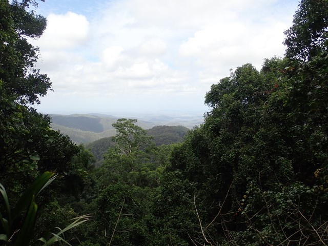