
Menu

 5.8
km
return
5.8
km
return
 2
hrs
2
hrs
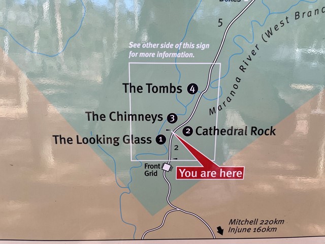
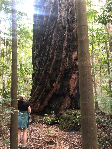
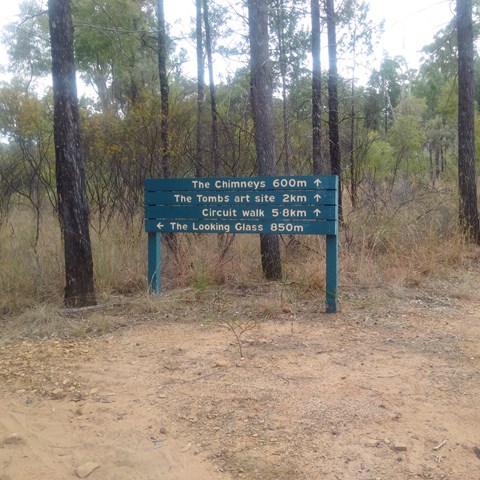
Maranoa River Circuit Walk
Striking sandstone monoliths point the way through colourful woodlands to the Maranoa River and an ancient Aboriginal art and burial site.
This 5.8 km easy circuit walk that takes in the Looking Glass, the Chimneys and the Tombs. You can also do each separately.
 80
m
return
5
mins
80
m
return
5
mins
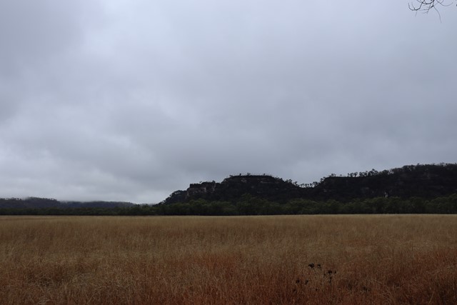
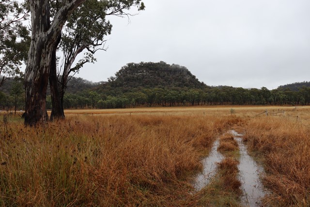
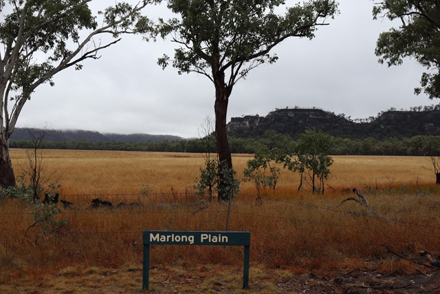
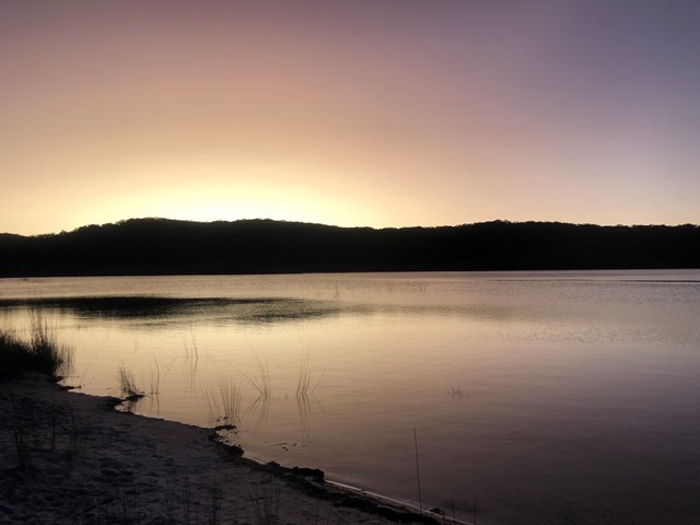
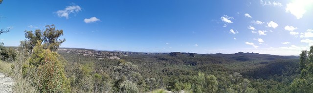
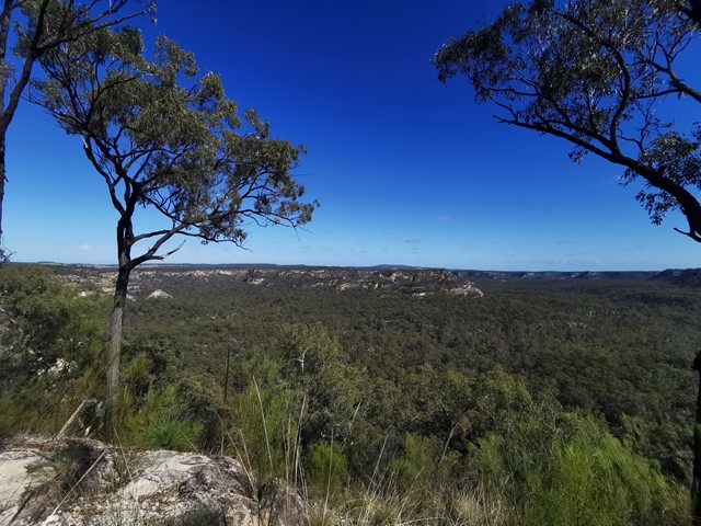
Marlong Plain
A stop on the Mount Moffatt Circuit Drive the natural grassland of Marlong Plain is especially lovely as the sun sets. You can walk down to the edge of the plain for views of distant sandstone cliffs and ridges.
 83
km
one-way
5
days
83
km
one-way
5
days
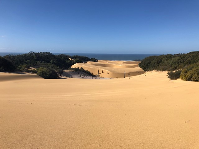
Fraser Island Great Walk
Well marked bushwalk through some of the best parts of Fraser Island. Typically walked South to North- Dilli Village - Lake Benaroon - Central Station - Lake McKenzie - Lake Wabby - Valley of the Giants - finishing at Happy Valley, however some hikers walk it the other way around.
 1.4
km
return
30
mins
1.4
km
return
30
mins
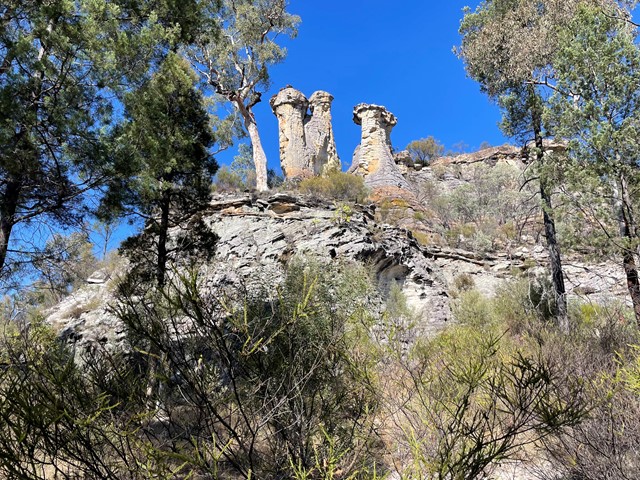
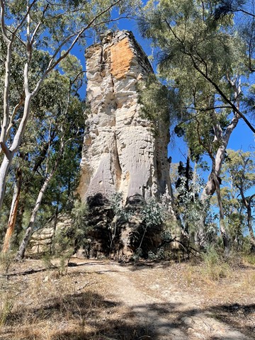
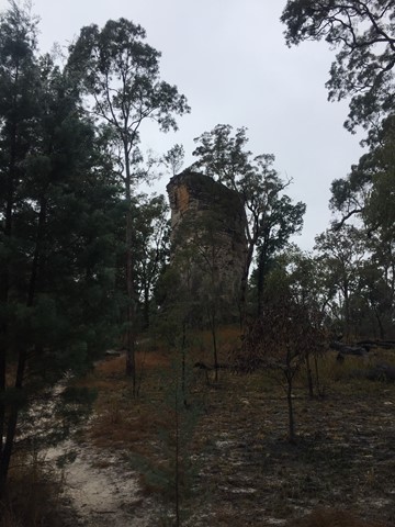
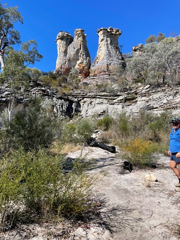
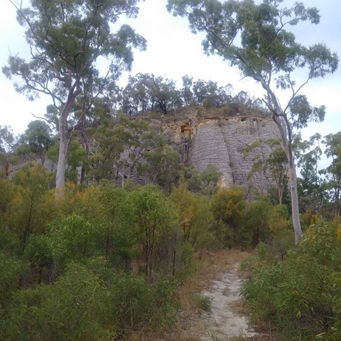
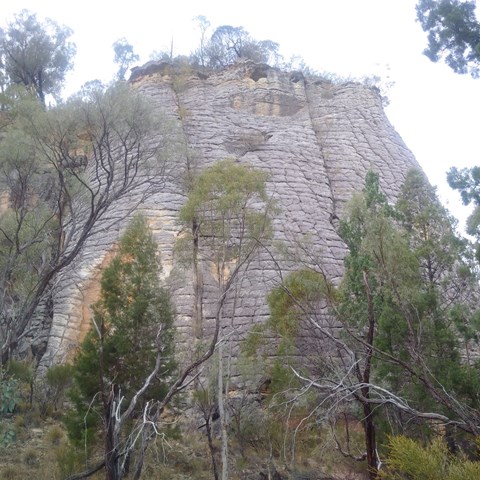
The Chimneys - Mt Moffat
Nice easy walk to some stunning sandstone rock features.
 4.2
km
return
1
hr
4.2
km
return
1
hr
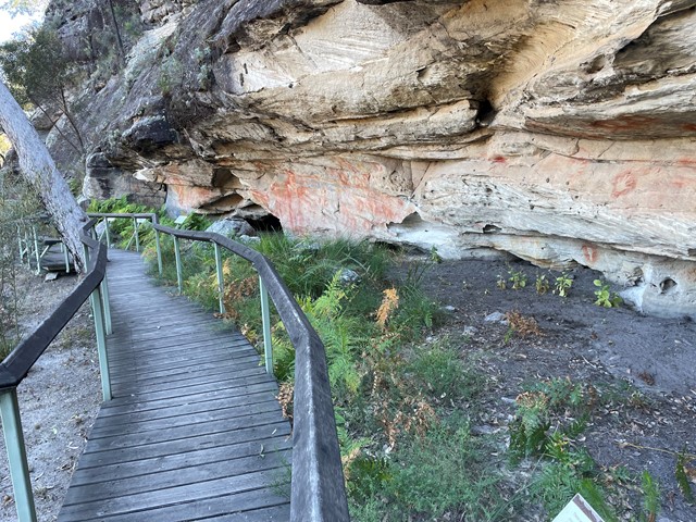
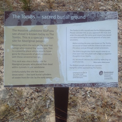
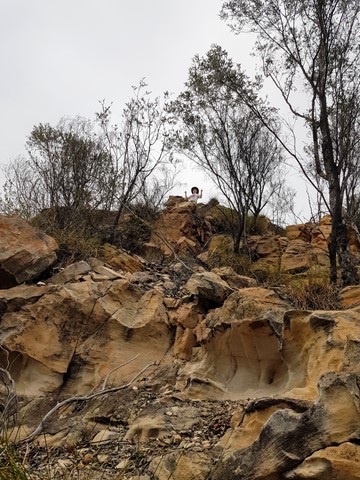
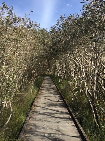
Tomb Art Site - Mt Moffat
More than 400 stencilled motifs (images) decorate the walls of a sandstone shelter below the bluff of sandstone known as The Tombs. The Tombs once contained burial chambers for local Aboriginal people. Skeletons were wrapped and bound in bark burial cylinders. Sadly, by the end of the 20th century, the site had been robbed of this material, leaving little evidence of an elaborate mortuary culture. Take a close look at the rock art from a boardwalk with seats.
 1.9
km
return
30
mins
1.9
km
return
30
mins
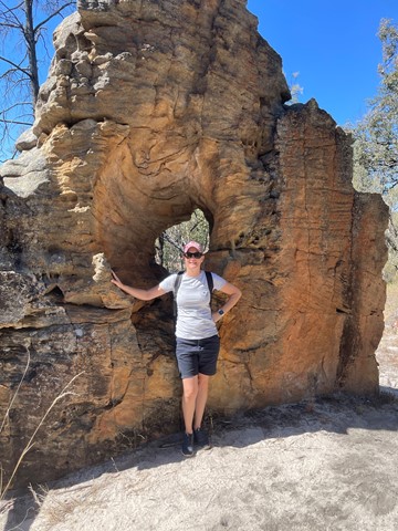
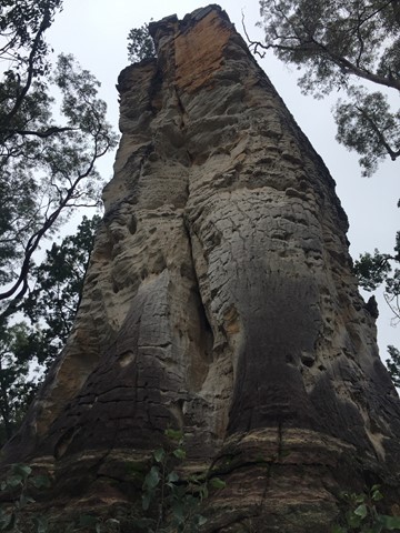
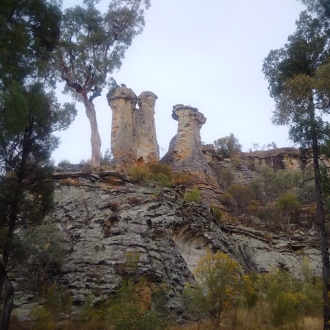
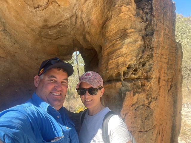
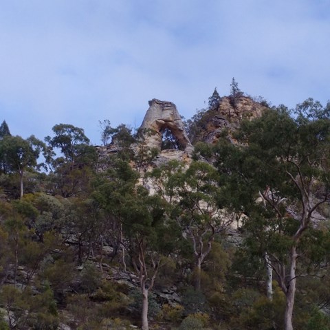
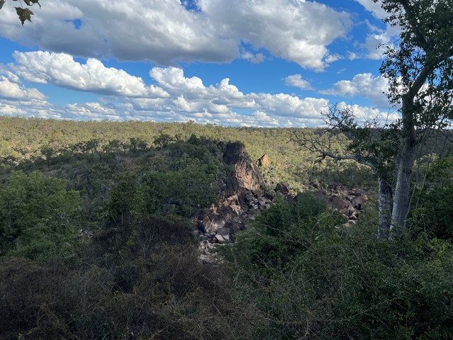
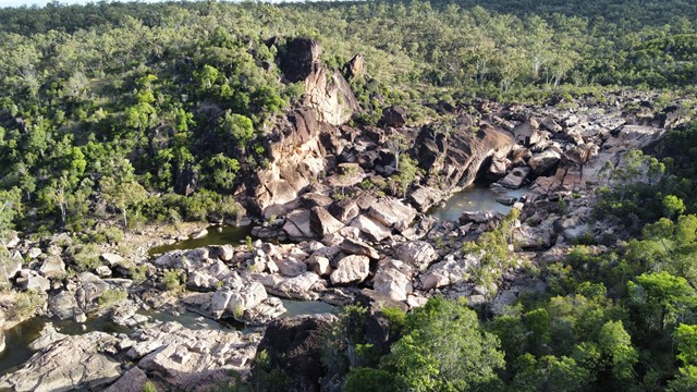
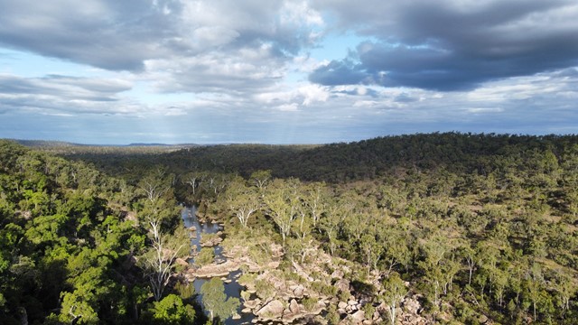
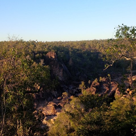
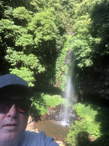
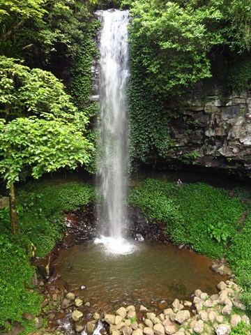
Looking Glass
Wind has eroded a cave right through an isolated pillar of Precipice Sandstone standing by the Maranoa River. Easy flat walk to this rock feature
 380
m
return
15
mins
380
m
return
15
mins
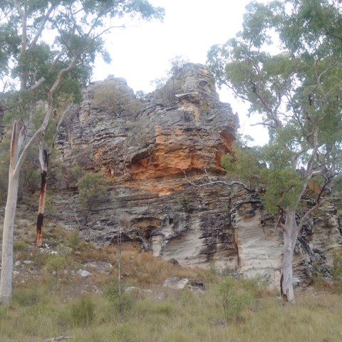
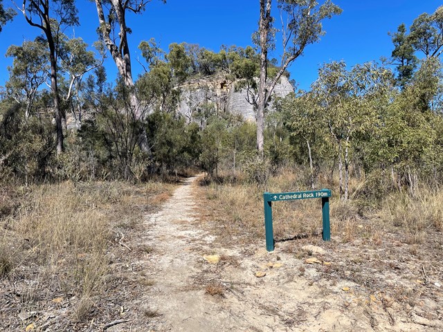
Cathedral Rock
A bluff of Precipice Sandstone with unusual rectangular patterns on its grey weathered skin. The walking track starts on the other side of the road from the orientation area.
 800
m
18
mins
800
m
18
mins
Isla Gorge
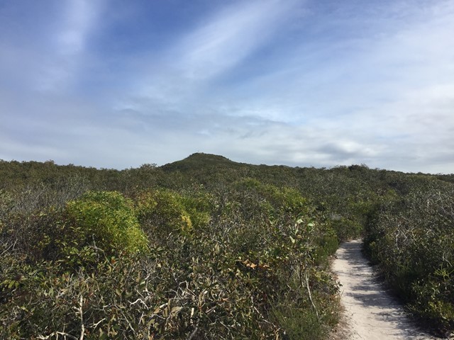
An easy walk from the camping ground along a rocky ridge to the end of a spur where you can view the spectacular gorge below. This is a landmark for those more intrepid walkers who venture down into the gorge where there are no set tracks. This is scrambling at its best - quite difficult and, in late September, very hot. We trekked down into the gorge and made our way through thick scrub to the other side to camp overnight. Heavy going with backpacks laden with water bottles. The return hike back up the spur to the camp grounds was quite arduous, but all in all, well worth the effort.
 600
m
return
15
mins
600
m
return
15
mins
Auburn River National Park, Gorge Lookout walk
This short stroll leads to impressive views across Auburn River gorge. Take a camera and capture views of the river and its distinctive boulders. The 'Giant's Chair' can be seen from the lookout; so too is a peregrine falcon's nest—easily detected because of the 'white-wash' marks on the cliff face below a collection of sticks and debris which make up the nest. Unfenced lookout: Stay well back from the edge and supervise children at all times.
 140
m
return
10
mins
140
m
return
10
mins
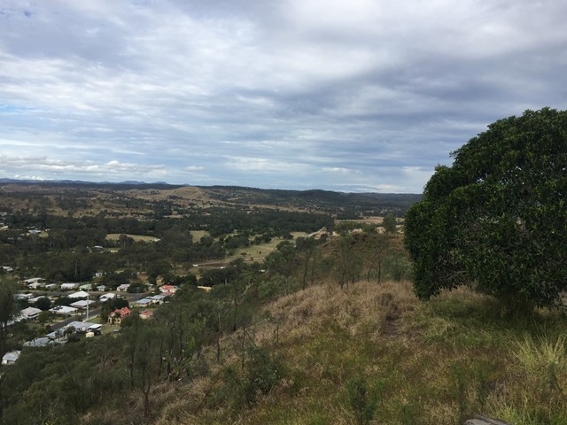
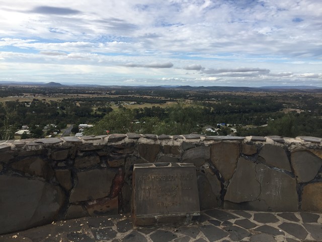
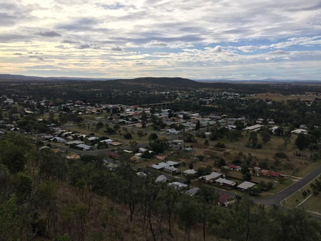
Archers Lookout
Archers Lookout sits atop Duke Mountain with 360 views over Gayndah.
 1
km
return
30
mins
1
km
return
30
mins
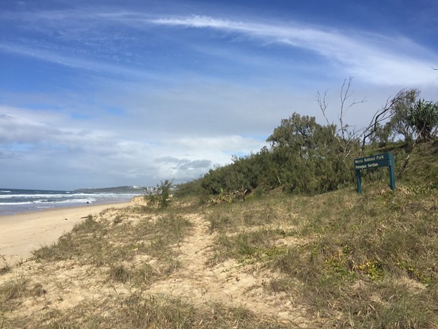
Ocean Beach Walk (Peregian Beach)
From boardwalk to beach, this short walk leads through forest to a peaceful stretch of beach away from the nearby towns.
 50
m
return
15
mins
50
m
return
15
mins
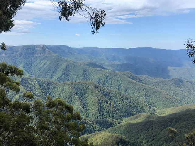
Beech Lookout
Head to Beech lookout in Cunnawarra National Park for remarkable views out over World Heritage-listed rainforest.
Beech lookout is an absolute must-see spot if you’re visiting Cunnawarra National Park. Here, you can enjoy spectacular views out across the headwaters of Georges River south to Cunnawarra Range, Botumburra Range and beyond into the Macleay River valley.
Just below the lookout are some of NSW’s tallest trees. These majestic forest ribbon gums reach an impressive 70m in height and can grow as wide as 3m in diameter. From here, you can also spot the lush green crowns of ancient Antarctic beech trees.
Keep your eyes out for the many threatened species that call the area home. If you’re lucky, you may even spot a powerful owl or glossy black cockatoo in the trees below, or a wedge-tailed eagle soaring across the skies above.
500
m
return
15
mins
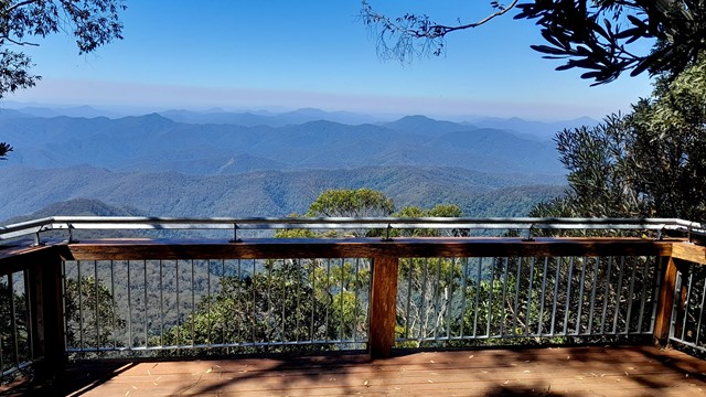
Point Lookout
Spectacular views on a clear day, a 180-degree panorama takes in this World Heritage Area right out to Pacific Ocean, 70 kilometres away. This one is wheelchair friendly for 100m till the first lookout.
 3
km
return
90
mins
3
km
return
90
mins
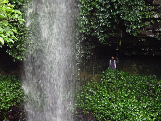
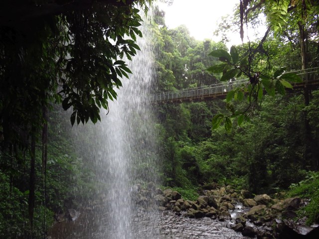
Crystal Shower Falls Walk
The walk to Crystal Shower Falls might be one of the shortest waterfall walks, but it is also one of the most intriguing because you can go behind the waterfall itself. Lush rainforest towers above you on the walk to the falls and you might hear the call of rainforest birds like fruit doves.
Once you reach the falls, a suspension bridge leads to a short side track that will take you behind the waterfall into a rocky cavern.
To get to Crystal Shower Falls you’ll need to take the first part of the Satinbird stroll and then join the Wonga walk, leaving from The Glade picnic area. If you are feeling energetic and want to explore the rainforest more you can carry on walking the Wonga walk.
 2.5
km
return
45
mins
2.5
km
return
45
mins
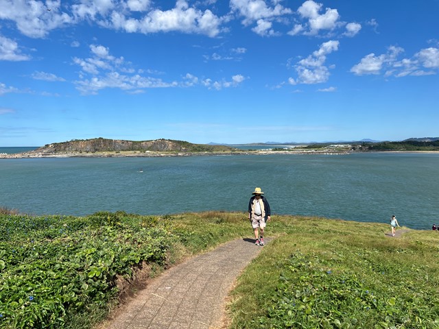
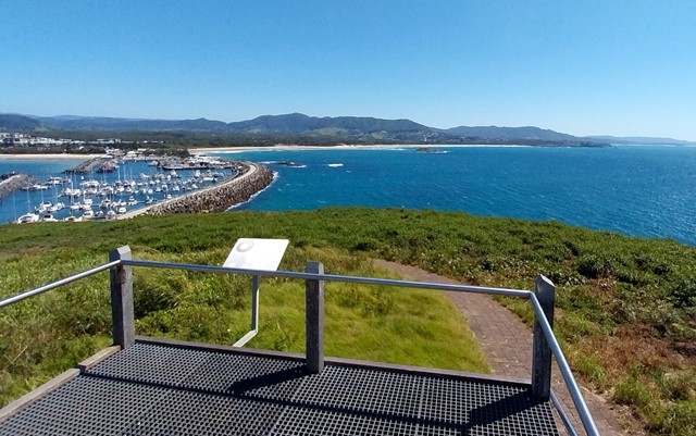
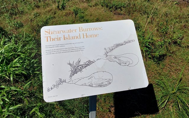
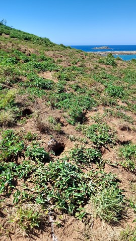
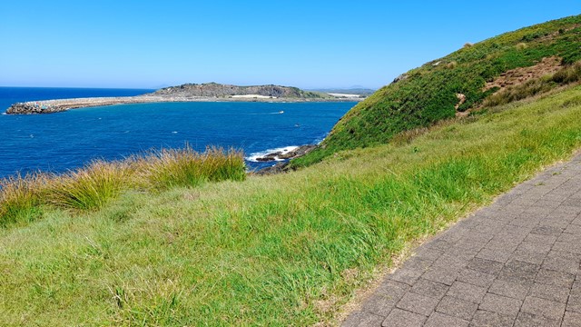
Muttonbird Island Nature Reserve
Explore Muttonbird Island with spectacular views in every direction and an abundance of wildlife.
 8.6
km
return
2.5
hrs
8.6
km
return
2.5
hrs
Glastonbury Creek to Point Pure
A 4.3km(one way) walk along the road to point pure lookout from the camp ground. Very uphill on the way to the lookout.
It travels along the 4WD track so the path is quite smooth to walk, although a bit steep. It is a bit exposed in places so sun protection is a must.
12
km
return
4
hrs
Camp site 3 to Cooloola sandpatch
Trail ap the hill through mostly banksia bush. Loose sand, quite hot in summer.
13
km
return
4
hrs
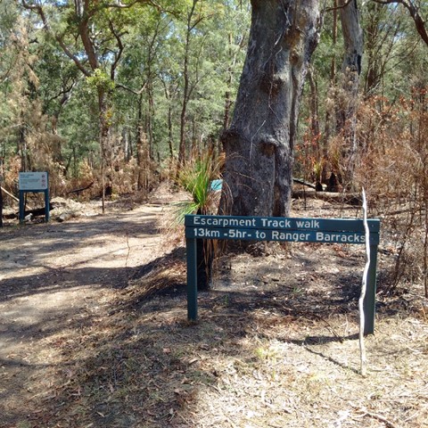
Escarpment Track
A quite easy track as it is a fire track so wide open and not really at that rough terrain. It is however a 13km one-way , so either have someone dropping you off at one location and collecting at the other. This Starts at " The Barracks" and ends at the Lookout or visa versa. Nice and quite away from all the 4WD action.
 300
m
return
10
mins
300
m
return
10
mins
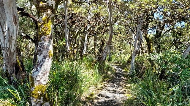
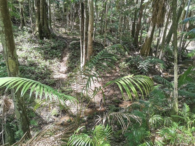
Rainforest Walk
Tropical rainforest spot in what other is a Blackbutt forest . Has a small creek that runs through it and is a change compare to rest of this park.
An easy 300m circuit