
Menu

 4.6
km
return
4.6
km
return
 2.5
hrs
2.5
hrs
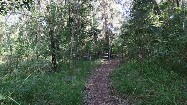
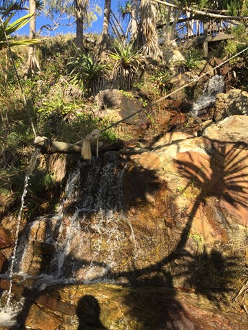
Cedar Grove Hiking Trail
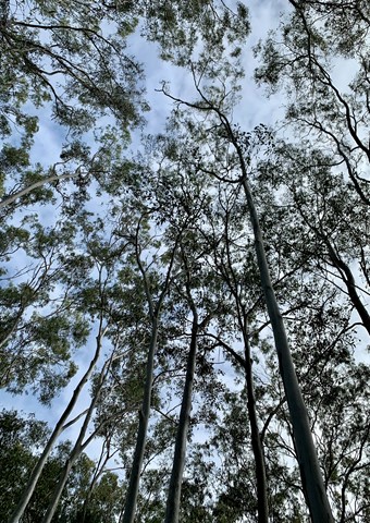
4.6km of rain forest. The first kilometre is a rise of 327mtrs above sea-level, which makes that about a 25% incline. The rest is a gentle downhill slope that flattens out to the forest floor.
 1.5
km
one-way
40
mins
1.5
km
one-way
40
mins
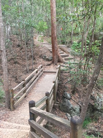
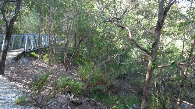
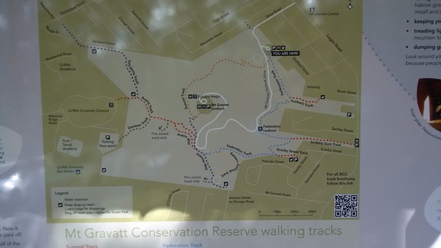
The Federation Track
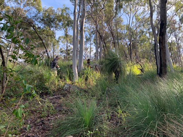
This track from the base of Mt Gravatt follows a track up the mountain, passing a lookout over the east. The path is quite rough in places with lots of loose rocks, though there are also steps and bridges. To reach the summit you need to turn left onto the Azania Way track at the end, and follow this for another .4km. You can then return back to where you started by following the summit track (1.2km)
 1.2
km
one-way
30
mins
1.2
km
one-way
30
mins
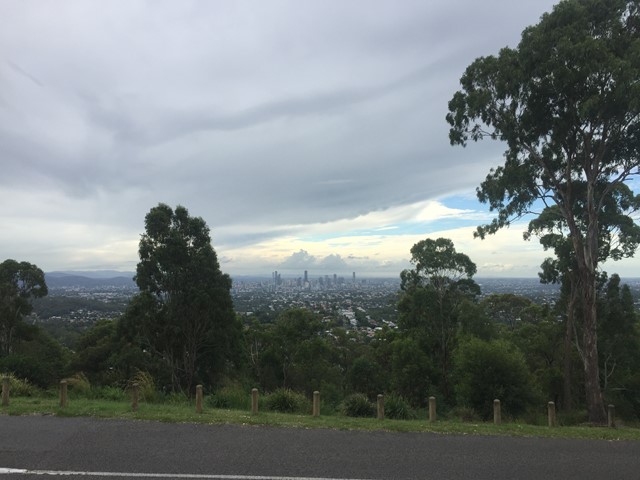
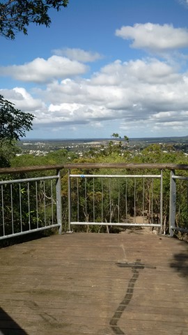
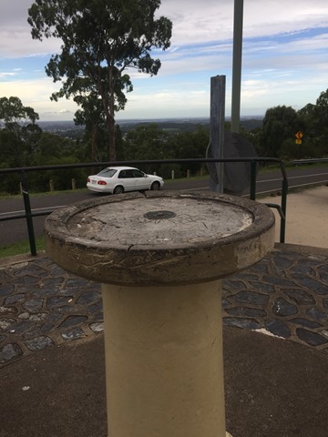
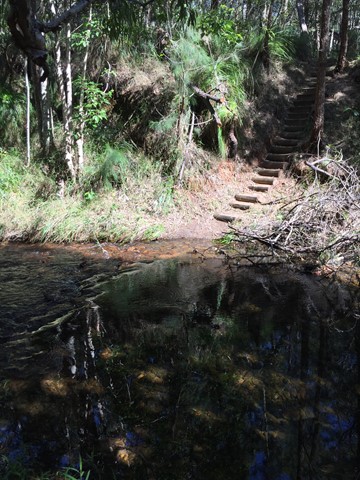
Mount Gravatt Summit Track
You will see creepers, ferns, shrubs and large trees on this winding track up the mountain. Once you reach the summit a breathtaking view is your reward. Admire the spectacular views from Mt Gravatt Outlook.
 10.8
km
return
2.2
hrs
10.8
km
return
2.2
hrs
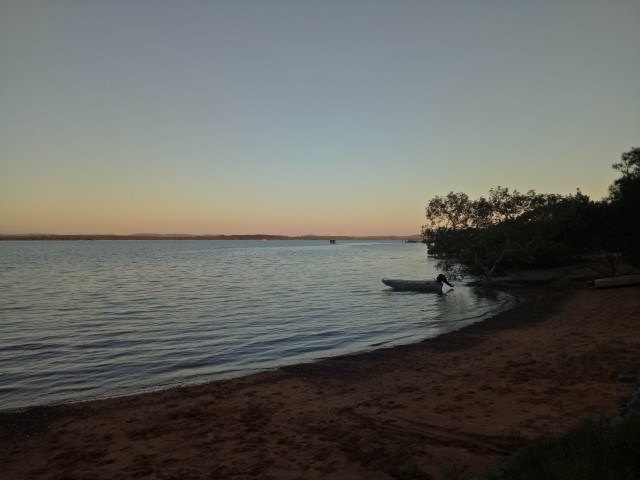
Shaws Bay Ballina to Flat Rock
A pleasant walk that is close to town with options to walk on the path or the beaches. Options for cafes, lookouts and toilet stops too.
 1.2
km
return
45
mins
1.2
km
return
45
mins
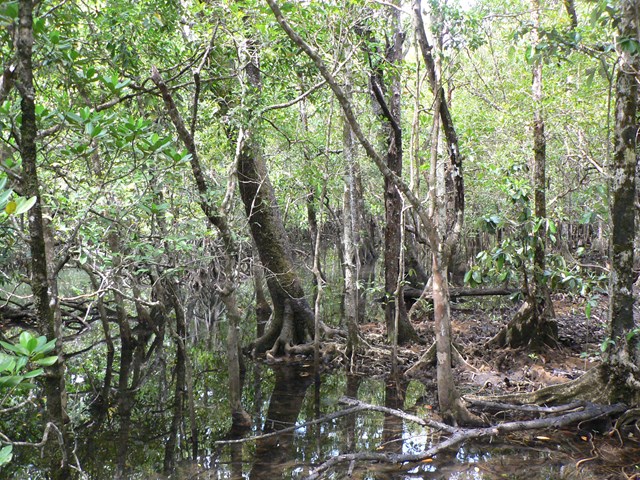
Dubuji Boardwalk
The Dubuji (meaning ‘place of spirits’) boardwalk travels through lowland rainforest swamps and mangroves. Signs explain the survival strategies used by rainforest plants and animals. The site is close to Myall Beach and has large grassed areas with picnic shelters and toilets.
 3
km
return
40
mins
3
km
return
40
mins
Sel Outridge Park Walk (Jack Gordon Pathway)
Foreshore walk with views towards Minjerribah (North Stradbroke Island). Concrete pathway.
 5
km
return
2
hrs
5
km
return
2
hrs
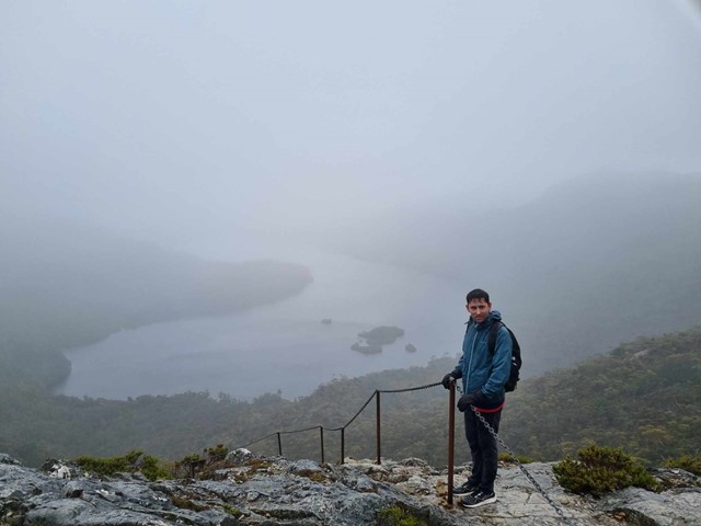
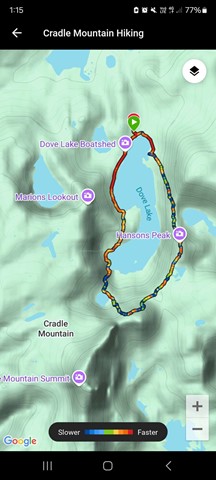
Hansons Peak
Hansons Peak is directly across Dove Lake from Marions Lookout and provides fantastic views of Cradle Mountain and Dove Lake. Other features seen include Lake LIlla and Lake Hanson and on a clear day through to Mt Pelion East in the distance.
 10.6
km
return
3
hrs
10.6
km
return
3
hrs
Nerang State Forest Centre Road
Decent walk through the State Forest. Network of trails to chose from to form a loop or simply return.
540
m
return
20
mins
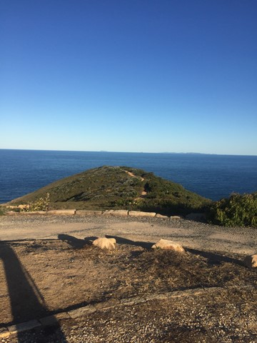
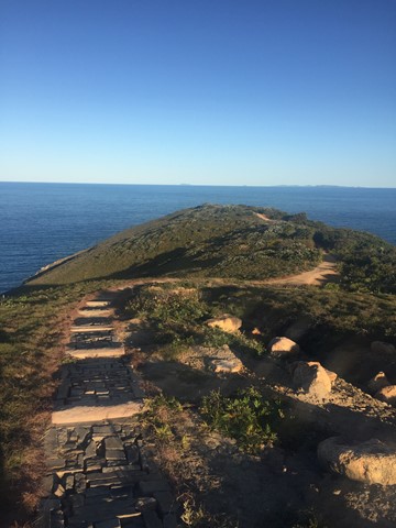
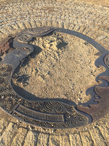
Stockyard Point Headland
From the top lookout enjoy uninterrupted coastal views to the north and south. Take a short stroll further along the headland to enjoy a more sheltered lookout to the Keppel Islands group.
 1
km
return
1
hr
1
km
return
1
hr
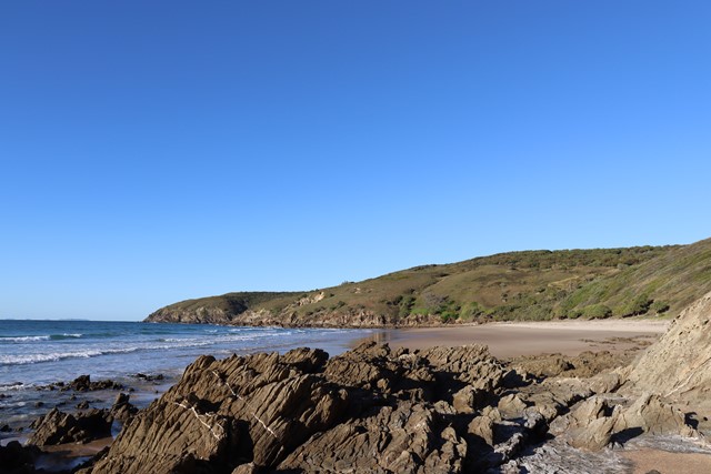
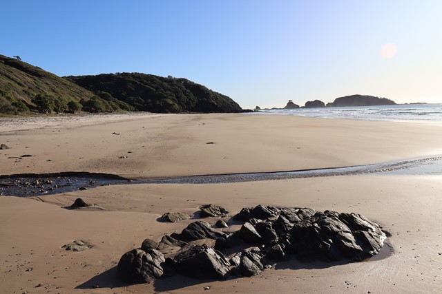
Little Five Rocks Beach
Walk down to Little Five Rocks Beach. Depending on the tide you can continue onto the Five Rocks Headland.
 2
km
return
1
hr
2
km
return
1
hr
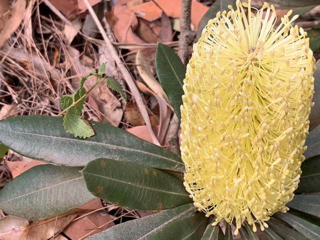
Banksia Robur Circuit
Visit the swamplands and marvel at the contrast of hardy banksia leaves against tiny-leaved wet heaths and swamp ferns.
 3.4
km
return
1
hr
3.4
km
return
1
hr
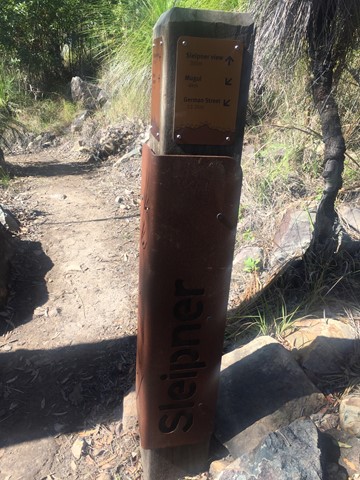
Sleipner Lookout Walk
From Nurim summit, the Zamia walk winds down through a landscape of lemon-scented gums, pink bloodwoods and forest she-oaks to Sleipner. On the way, enjoy the cool sea breeze off the Capricorn Coast and a glimpse of the Fitzroy River. From Sleipner there are panoramas of Waaruin (the Berserker Range) on offer. Remember, the return walk to Nurim summit is uphill and can be a challenge.
 850
m
return
30
mins
850
m
return
30
mins
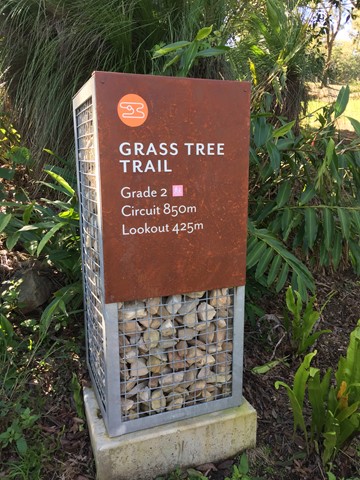
Grass Tree Trail
From the Fraser Park amphitheatre, stroll through open forest to Grasstree lookout. Catch panoramas of the Fitzroy River along the way. Enjoy views of the three peaks of Mount Badger, Sleipner and Berserker from the lookout.
 5.5
km
return
5
hrs
5.5
km
return
5
hrs
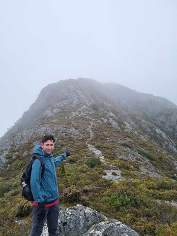
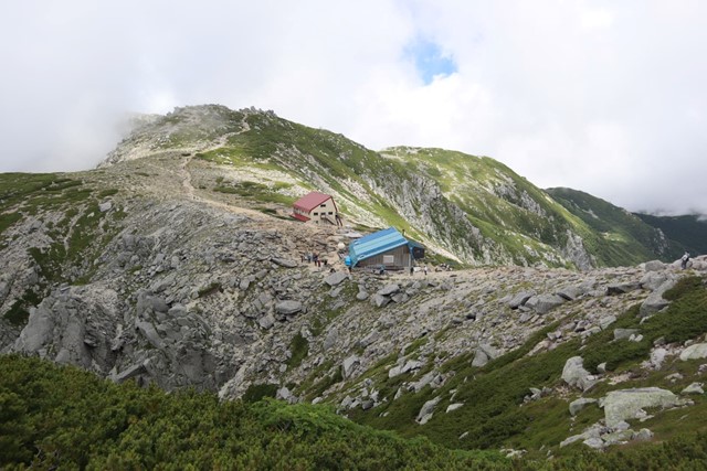
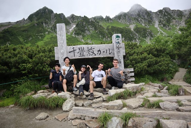
Mt. Kisokomagatake 木曽駒ケ岳 + Mt. Houkendake 宝剣岳 (Central Alps, Nagano Prefecture)
One of the most underated parts of the Japanese alps. The central alps is unbelieviably beautiful, if someone blindfolded you and told you were somewhere in Europe, it would be entirely believable. The hike is very straight forward, it can be combined with a multiday hike and other nearby peaks such as Houkendake.
 4
km
return
1
hr
4
km
return
1
hr
Tamar Island Wetlands
A short & easy self-guided walk on boardwalk through the Tamar Wetlands
 200
m
return
10
mins
200
m
return
10
mins
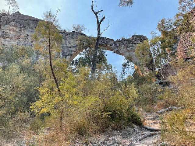
Marlong Arch Track
Discover a towering yet narrow natural archway, shaped over time by wind and water, and unique from every angle.
 2
km
return
45
mins
2
km
return
45
mins
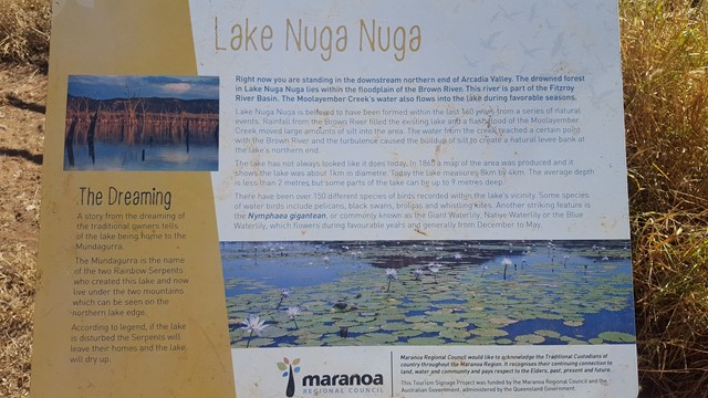
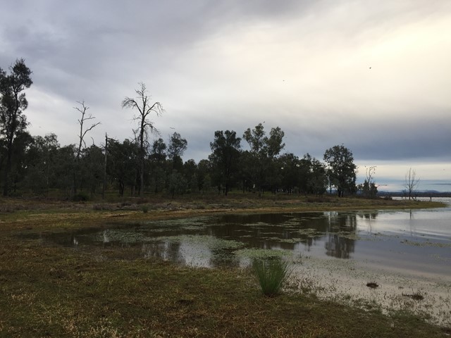
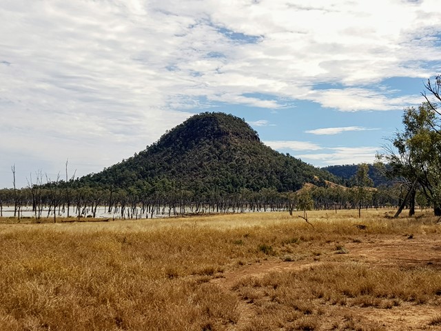
Lake Nuga Nuga Island Foreshore Walk
Though an island by name it is not an island by nature. The 'island' on Lake Nuga Nuga can be walked onto and around offering stunning views over the lake.
 3
km
return
3
hrs
3
km
return
3
hrs
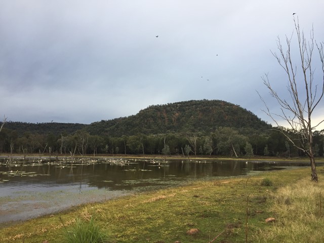
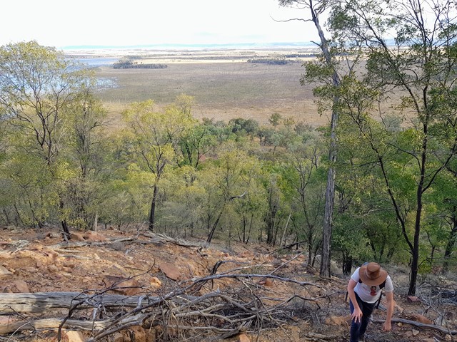
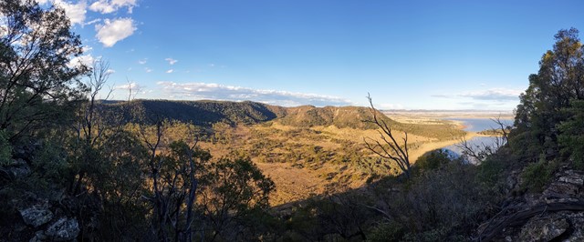
Mt Warnilla
The summit of Mt Warnilla gives the absolute best views of the Arcadia Valley and especially of Lake Nuga Nuga. No trail or markings, entire walk is trailblazing up the foothills and finally scrambling to the summit.
Much of the summit is cliff-faced and unclimbable without lead-roping equipment/experience, I found a crevice to boulder-climb up to the end and find a way to the plateau at the top.
It's easy enough to get to the cliffside and the views from there are stunning too, but if you have the guff to get to the peak the 360 degree views from the plateau are unbeatable.
 1.7
km
return
45
mins
1.7
km
return
45
mins
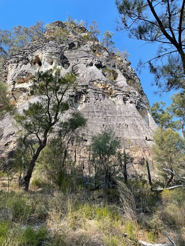
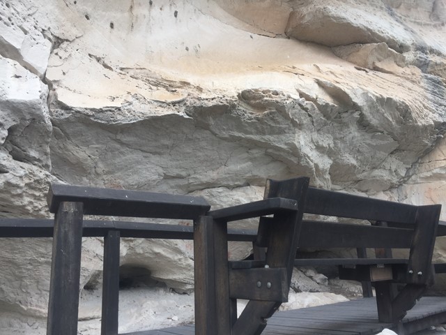
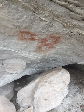
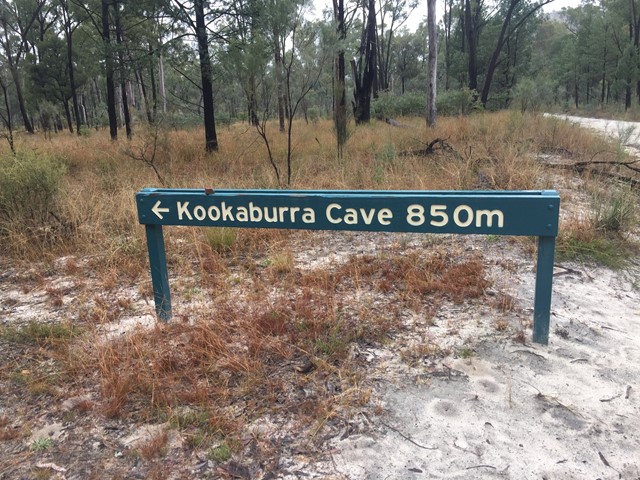
Kookaburra Cave Track
Enjoy a short stroll to this cave adorned with intricate carvings and rich ochre stencils, including one resembling a Kookaburra.
 5.92
km
one-way
89
mins
5.92
km
one-way
89
mins
Tondoon Walk
Combines the Tondoon Botanical Gardens, the bush near Police Creek and Mt Biondello.